Dail Chuir
Downs, Moorland in Inverness-shire
Scotland
Dail Chuir
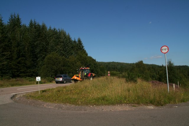
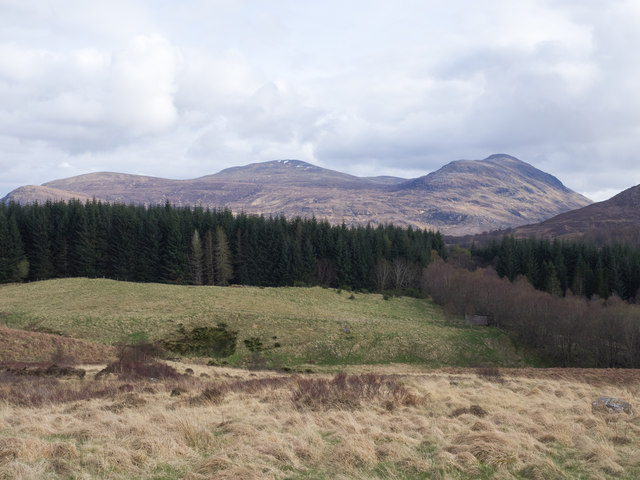
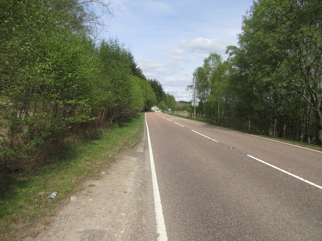
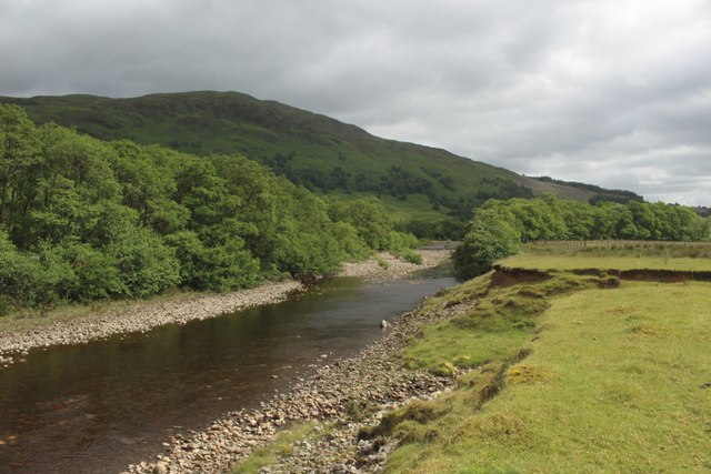
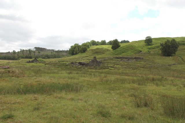
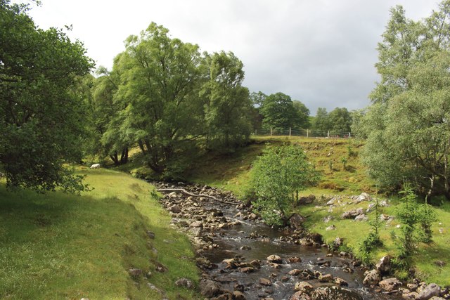
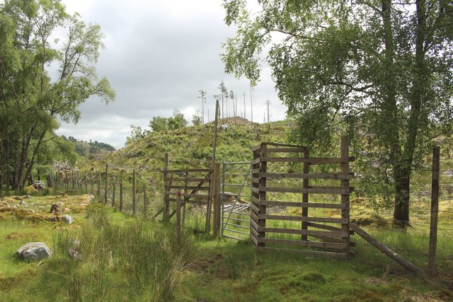
Dail Chuir is a region located in Inverness-shire, Scotland. It is known for its picturesque downs and moorland landscapes, offering breathtaking views and a tranquil atmosphere. The area is characterized by its rolling hills, vast open spaces, and abundance of diverse flora and fauna.
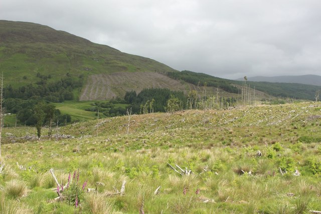
The downs of Dail Chuir are a sight to behold, featuring gently sloping hills covered in lush green grasses. These downs provide ample grazing land for livestock, making it a significant area for agriculture in the region. The open expanses and gentle slopes also make it an ideal location for outdoor activities such as hiking, picnicking, and bird-watching.
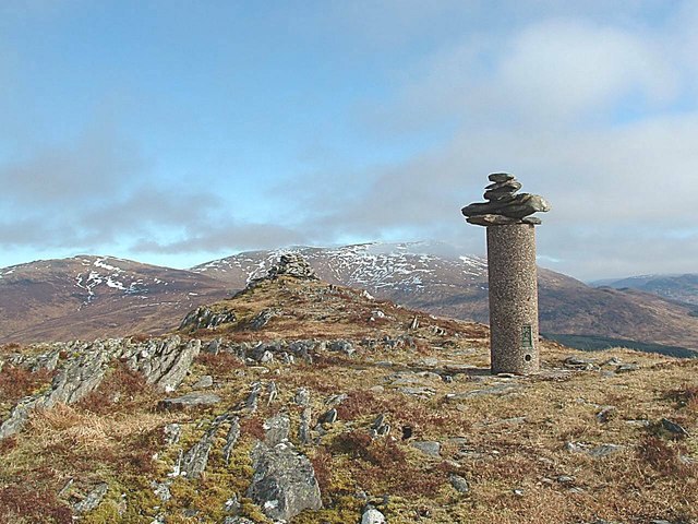
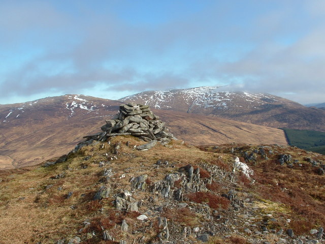
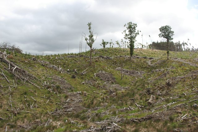
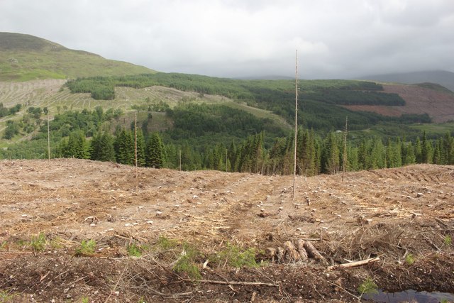
The moorland of Dail Chuir adds another layer of natural beauty to the region. This rugged and wild terrain is covered in heather, creating a vibrant purple hue during the flowering season. Moorland vegetation also includes various grasses, mosses, and shrubs. The area is home to a wide range of wildlife, including birds like golden eagles, red grouse, and ptarmigans, as well as mammals such as red deer and mountain hares.
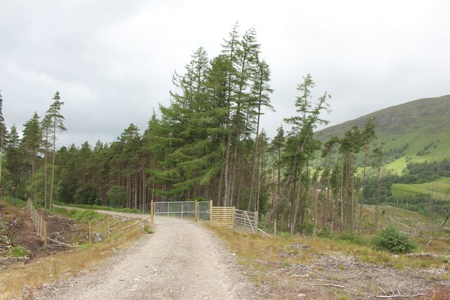
Dail Chuir is a paradise for nature enthusiasts and photographers, offering countless opportunities to capture stunning landscapes and observe unique wildlife. Visitors can explore the downs and moorland through designated walking trails or engage in guided tours to learn more about the region's natural history and conservation efforts.
Overall, Dail Chuir in Inverness-shire is a captivating destination that showcases the beauty of Scotland's downs and moorland, providing a peaceful retreat for nature lovers and outdoor enthusiasts.
If you have any feedback on the listing, please let us know in the comments section below.
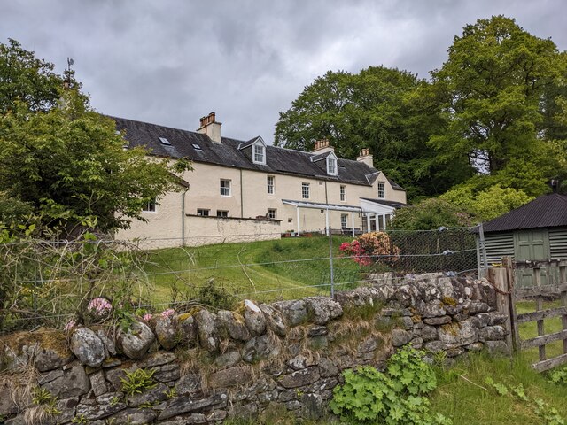
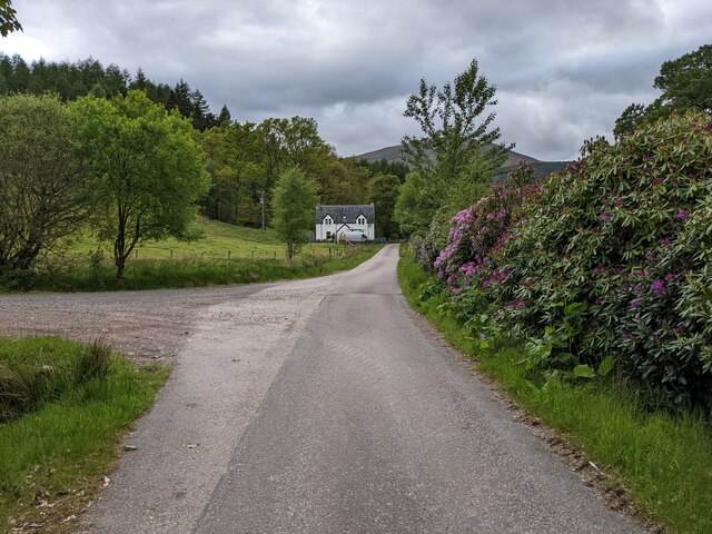
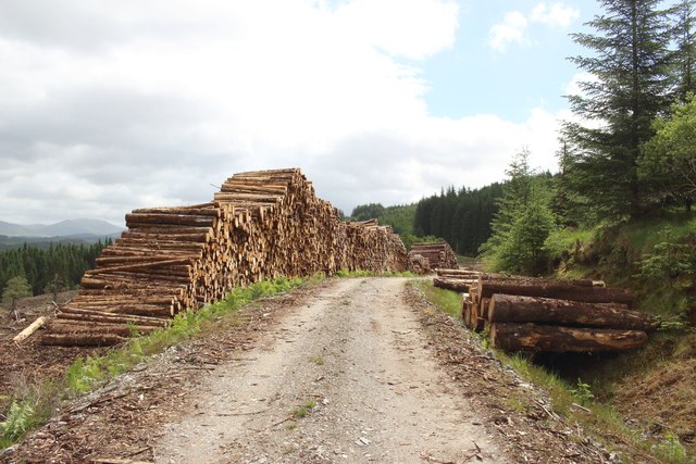
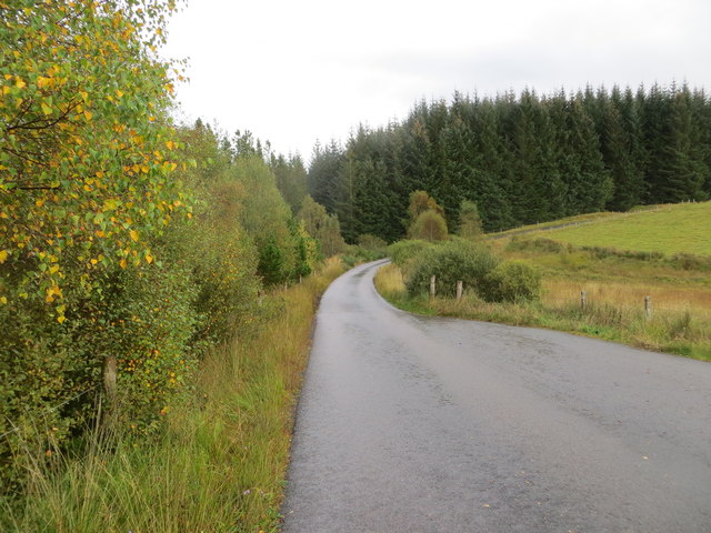
Dail Chuir Images
Images are sourced within 2km of 56.887367/-4.7524264 or Grid Reference NN3280. Thanks to Geograph Open Source API. All images are credited.
Dail Chuir is located at Grid Ref: NN3280 (Lat: 56.887367, Lng: -4.7524264)
Unitary Authority: Highland
Police Authority: Highlands and Islands
What 3 Words
///crumbles.hiking.pass. Near Gairlochy, Highland
Nearby Locations
Related Wikis
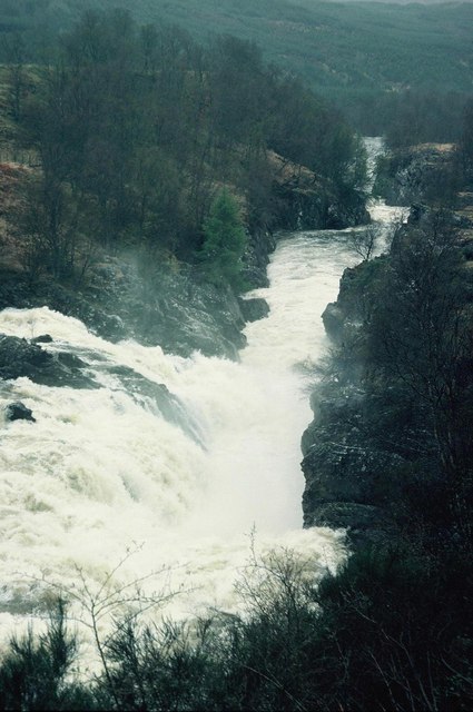
Inverlair Falls
Inverlair Falls is a waterfall of Scotland. == See also == Waterfalls of Scotland == References ==

Creag Dhubh (Roybridge)
Creag Dhubh (658 m) is a hill in the Grampian Mountains of Scotland. It is located in the Lochaber region, east of Roybridge. A rounded hill, Creag Dhubh...
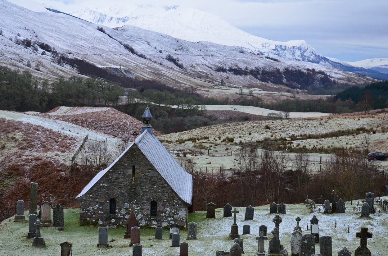
Cille Choirill
Cille Choirill is a 15th-century Roman Catholic church situated in Glen Spean in Lochaber, Scotland. Dedicated to St Kerrill, (also called "Cyril"), it...

Achluachrach
Achluachrach (Gaelic: Ach Luachrach) is a small settlement in Glen Spean in Lochaber, in the Highland council area of Scotland. It is located on the A86...
Related Videos

River Spean | Short Walk
AlexExplorer.

A familiar location... and a spring in our steps 😁
Created by InShot:https://inshotapp.page.link/YTShare.

Sgurr Innse Video Diary
Sgurr Innse 809m Corbett in Lairig Leacach (Grey Corries), Grid Ref. NN 290 748 25.03.2012 @ 13.58.

Beinn a'Chaorainn & Beinn Teallach from Glen Spean video
This video shows what it's like up there in winter conditions better than the pics can. Very windy in this video as well as we gain ...
Nearby Amenities
Located within 500m of 56.887367,-4.7524264Have you been to Dail Chuir?
Leave your review of Dail Chuir below (or comments, questions and feedback).