Barfad Fell

Downs, Moorland in Wigtownshire

Scotland

Barfad Fell

The River Bladnoch Looking upstream from the bridge above Shennanton House
The River Bladnoch Credit: Oliver Dixon

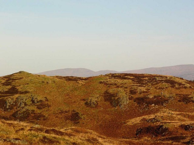
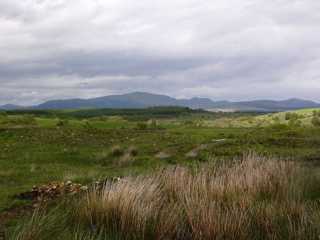
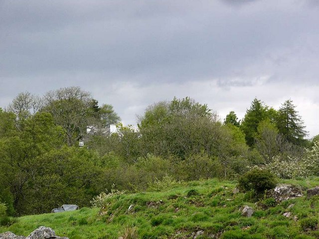
Barfad Fell is a prominent geographical feature located in Wigtownshire, a historic county in southwestern Scotland. Situated in the Downs region, this fell is characterized by its rugged and undulating terrain, consisting of expansive moorland.

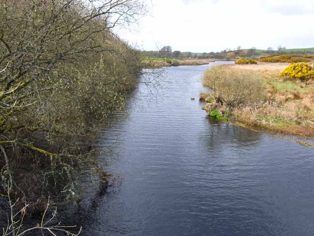
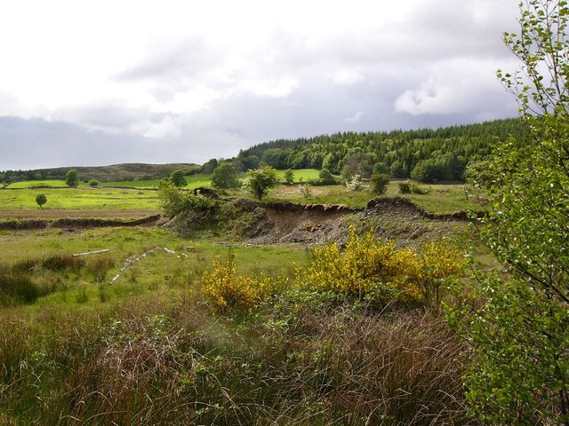
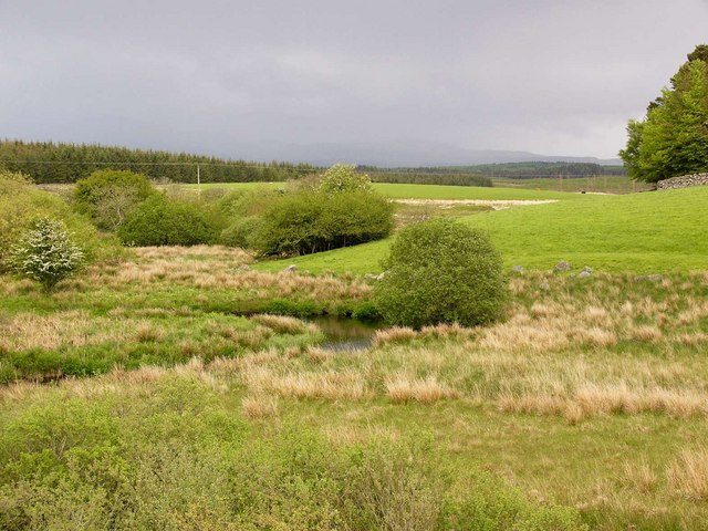
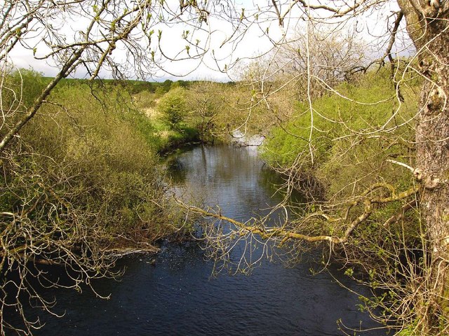
Covering an area of approximately 10 square kilometers, Barfad Fell is known for its picturesque landscapes and breathtaking vistas. The fell is primarily composed of heather-covered moors, interspersed with scattered patches of grass and rocky outcrops. This unique combination of vegetation creates a stunning contrast of colors, particularly during the blooming season when the heathers paint the landscape in vibrant shades of purple.

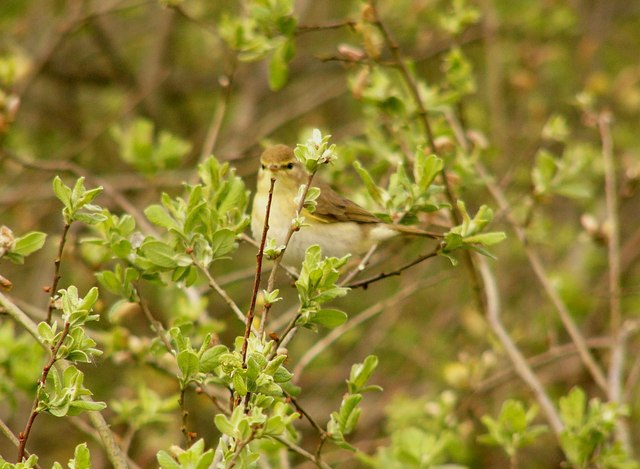
The fell is also home to a diverse range of wildlife, including several species of birds such as curlews, plovers, and grouse, which find refuge in the moorland habitat. Additionally, various species of small mammals, including mountain hares and stoats, can be found in the area.

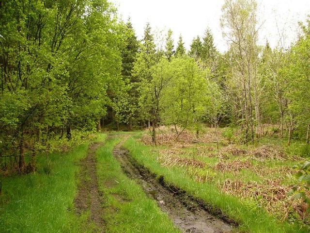
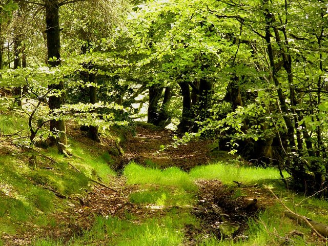
Barfad Fell offers a wealth of recreational opportunities for outdoor enthusiasts. Hiking and walking trails traverse the fell, providing visitors with the chance to explore the natural beauty of the area. The rugged terrain also attracts mountain bikers and off-road enthusiasts, who enjoy the challenges and thrills offered by the uneven landscape.

With its stunning vistas, diverse wildlife, and numerous recreational opportunities, Barfad Fell is a popular destination for nature lovers and adventurers alike, offering a unique and unforgettable experience in the heart of Wigtownshire.

If you have any feedback on the listing, please let us know in the comments section below.

Barfad Fell Images

Images are sourced within 2km of 54.95651/-4.621721 or Grid Reference NX3265. Thanks to Geograph Open Source API. All images are credited.

The River Bladnoch Looking upstream from the bridge above Shennanton House
The River Bladnoch
Looking upstream from the bridge above Shennanton House
Bridge over the River Bladnoch A bridge over the River Bladnoch a short way upstream from Shennanton House. Presumably the current bridge replaces a much older structure.
Bridge over the River Bladnoch
A bridge over the River Bladnoch a short way upstream from Shennanton House. Presumably the current bridge replaces a much older structure.
Culvennan Fell Looking NNE to Culvennan Fell with the Galloway Hills in the far distance.
Culvennan Fell
Looking NNE to Culvennan Fell with the Galloway Hills in the far distance.
Gravel pit near Shennanton
Rough grazing near Carsebuie Looking over to the Minnigaff Hills.
Rough grazing near Carsebuie
Looking over to the Minnigaff Hills.
Carsebuie
Carsebuie
Forest track near Carsebuie
Barfad Farm
Barfad Farm
The Black Burn
The Black Burn
The Black Burn Taken from the aptly named Black Burn Bridge.
The Black Burn
Taken from the aptly named Black Burn Bridge.
Meadow Hill plantation
A warbler of some kind? A lucky snap of a bird which sat in a bush right beside me!
A warbler of some kind?
A lucky snap of a bird which sat in a bush right beside me!
Ring of Barfad The name Ring is from the Gaelic roinn or rinn, meaning a point of land. It probably refers to the position of this farm at the meeting of two rivers, the Bladnoch and its tributary, the Black Burn.
Ring of Barfad
The name Ring is from the Gaelic roinn or rinn, meaning a point of land. It probably refers to the position of this farm at the meeting of two rivers, the Bladnoch and its tributary, the Black Burn.
Round bales The introduction of silage and round bales for winter feed has massively reduced the incidence of farmers lung, a disabling respiratory condition caused by allergy to the spores of moulds found in traditional hay bales, especially when the hay crop was baled while wet.
Round bales
The introduction of silage and round bales for winter feed has massively reduced the incidence of farmers lung, a disabling respiratory condition caused by allergy to the spores of moulds found in traditional hay bales, especially when the hay crop was baled while wet.
Round bale wrapping
Round bale wrapping
Road to the Ring The road to the Ring of Barfad runs through woodland.
Road to the Ring
The road to the Ring of Barfad runs through woodland.
Monk's-hood Aconitum napellus. Growing by the roadside, and probably an escapee rather than native plant. One of the most poisonous British plants.
Monk's-hood
Aconitum napellus. Growing by the roadside, and probably an escapee rather than native plant. One of the most poisonous British plants.
Looking south from Bennan Hill On a very dull, wet November afternoon.
Looking south from Bennan Hill
On a very dull, wet November afternoon.
Show me another place!

Barfad Fell is located at Grid Ref: NX3265 (Lat: 54.95651, Lng: -4.621721)

Unitary Authority: Dumfries and Galloway

Police Authority: Dumfries and Galloway

What 3 Words

///insiders.else.toothpick. Near Newton Stewart, Dumfries & Galloway

Nearby Locations

Barfad Fell

Related Wikis

Kirkcowan railway station

Kirkcowan railway station served the village of Kirkcowan, Dumfries and Galloway, Scotland from 1861 to 1965 on the Portpatrick and Wigtownshire Joint...

Kirkcowan

Kirkcowan is an area about 15 miles in length, and from nearly two to nearly seven miles in breadth, comprising 30,580 acres, of which 7000 are arable...

Tarf Water, Wigtownshire

The Tarf Water is a river in the former county of Wigtownshire in south-west Scotland. It rises on the Ayrshire border (55.0048°N 4.7815°W / 55.0048;...

Wood of Cree

Wood of Cree is a nature reserve in Dumfries and Galloway, Scotland. Located approximately 4 miles (6.4 km) north north-west of Newton Stewart, it is managed...

Nearby Amenities

Located within 500m of 54.95651,-4.621721
Power: pole
Lat/Long: 54.9571686/-4.6140703
Power: pole
Lat/Long: 54.957016/-4.6149745
Power: pole
Lat/Long: 54.9571775/-4.6163597
Power: pole
Lat/Long: 54.9573491/-4.6178382
Power: pole
Lat/Long: 54.957465/-4.6188723
Power: pole
Lat/Long: 54.9576243/-4.6201974
Power: pole
Lat/Long: 54.9577468/-4.6212121
Power: pole
Lat/Long: 54.9578526/-4.6221007
Power: pole
Lat/Long: 54.957925/-4.6227817
Power: pole
Lat/Long: 54.9580765/-4.624103
Power: pole
Lat/Long: 54.9582069/-4.6252361
Power: pole
Lat/Long: 54.9583305/-4.6262469
Power: pole
Lat/Long: 54.9584575/-4.6273237
The data included in this document is from www.openstreetmap.org. The data is made available under ODbL.

Have you been to Barfad Fell?

Leave your review of Barfad Fell below (or comments, questions and feedback).