Devol Moor
Downs, Moorland in Renfrewshire
Scotland
Devol Moor
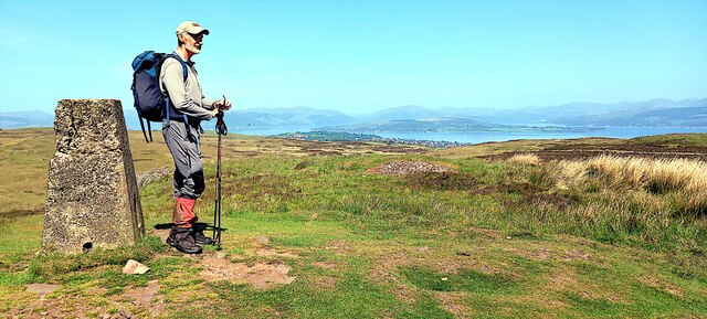
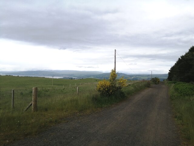
Devol Moor, located in Renfrewshire, Scotland, is a picturesque expanse of downs and moorland that covers an area of approximately 3.5 square miles. Situated near the town of Bridge of Weir, it is easily accessible and attracts visitors throughout the year.
The moorland terrain of Devol Moor is characterized by its gently rolling hills, heather-covered slopes, and patches of marshy ground. It provides a unique habitat for a variety of flora and fauna, making it an important site for wildlife conservation. Visitors to the area can expect to see a diverse range of bird species, such as curlews, lapwings, and red grouse, as well as small mammals like hares and voles.
One of the notable features of Devol Moor is its peat bogs, which have formed over thousands of years. These bogs play a crucial role in carbon storage and water regulation, making them ecologically significant. Additionally, the moorland is intersected by several small streams and lochs, adding to its natural beauty.
Walking trails and footpaths crisscross Devol Moor, offering visitors the opportunity to explore its stunning landscapes. The paths lead through heather-clad hills and open grasslands, providing breathtaking views of the surrounding countryside. The area is also popular among birdwatchers and nature enthusiasts, who can observe the local wildlife in their natural habitat.
Devol Moor is not only a haven for wildlife, but it also holds historical importance. Archaeological remains, such as stone circles and burial sites, can be found throughout the moorland, revealing evidence of human activity dating back thousands of years.
Overall, Devol Moor in Renfrewshire is a captivating destination for those seeking to immerse themselves in the beauty of Scotland's natural landscapes. Its diverse ecosystems, rich wildlife, and historical significance make it a must-visit location for nature lovers and explorers alike.
If you have any feedback on the listing, please let us know in the comments section below.
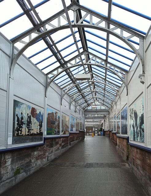
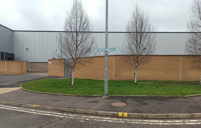
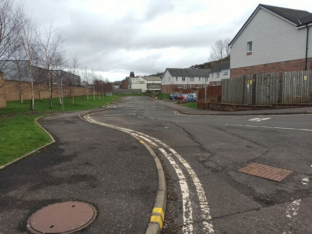
Devol Moor Images
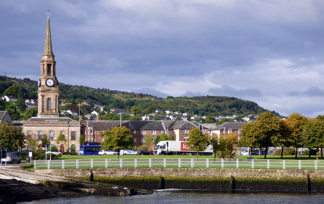
Images are sourced within 2km of 55.91869/-4.7062773 or Grid Reference NS3072. Thanks to Geograph Open Source API. All images are credited.


Devol Moor is located at Grid Ref: NS3072 (Lat: 55.91869, Lng: -4.7062773)
Unitary Authority: Inverclyde
Police Authority: Renfrewshire and Inverclyde
What 3 Words
///siblings.expanded.salary. Near Port Glasgow, Inverclyde
Nearby Locations
Related Wikis

Gibshill
Gibshill (sometimes spelt as Gibbshill and often referred to as The Gibby, but also known as Spam Island) is the easternmost housing estate in Greenock...
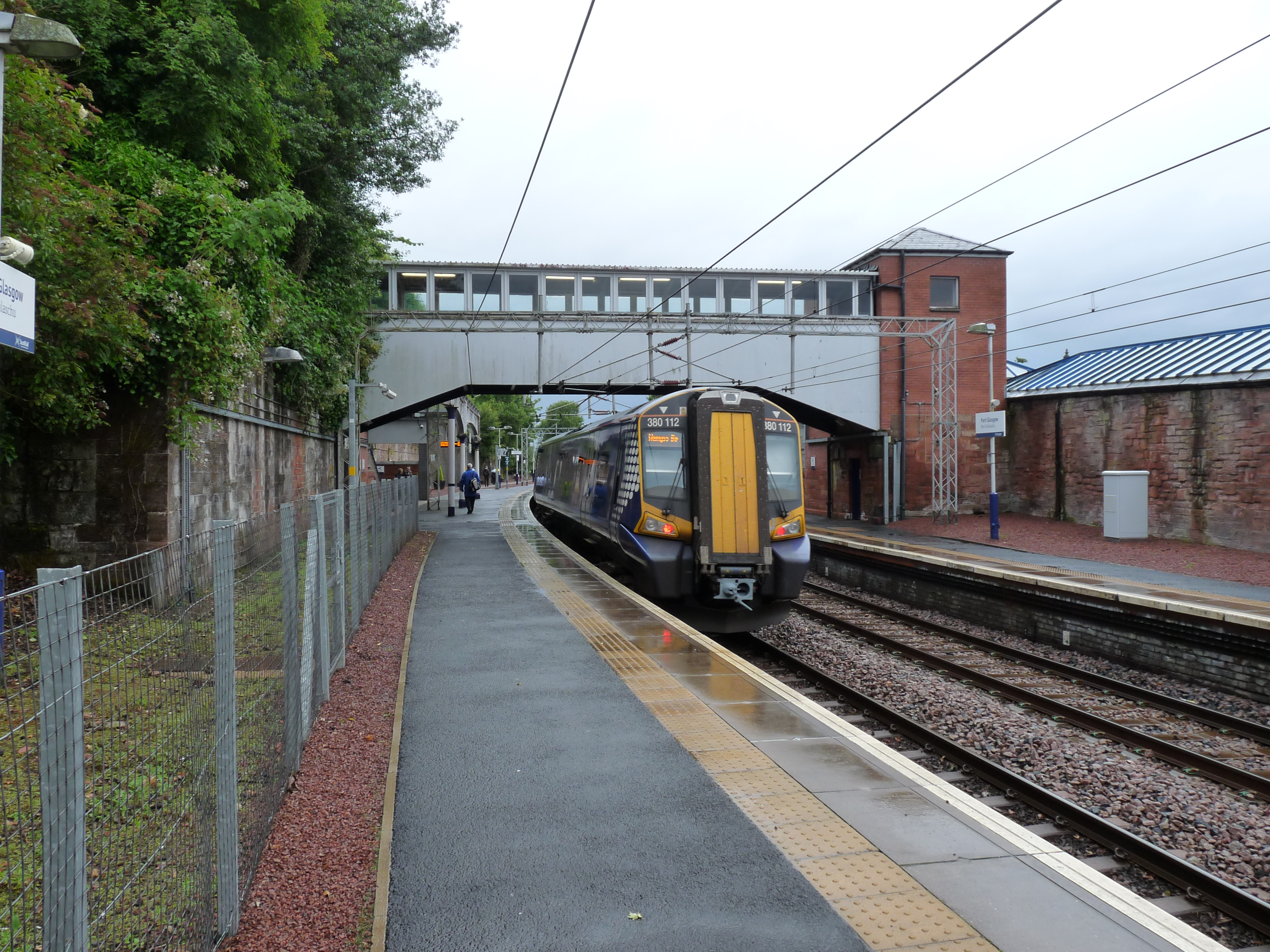
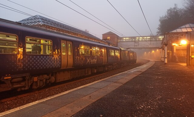
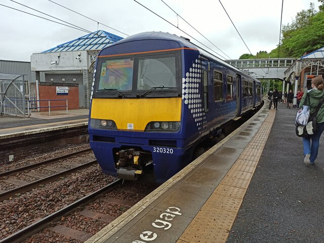
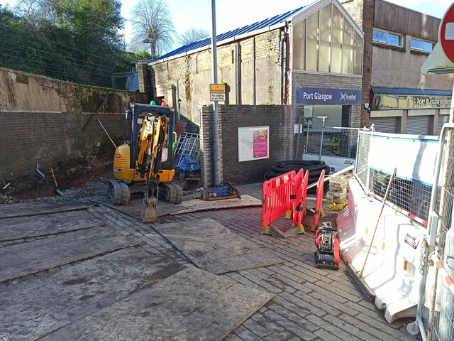
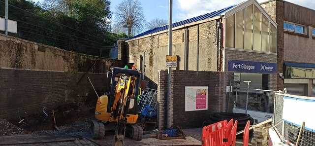
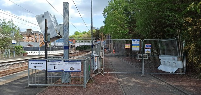
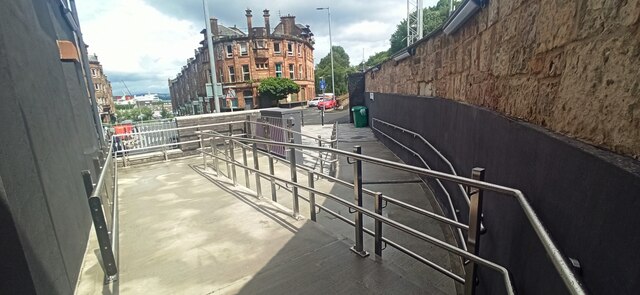
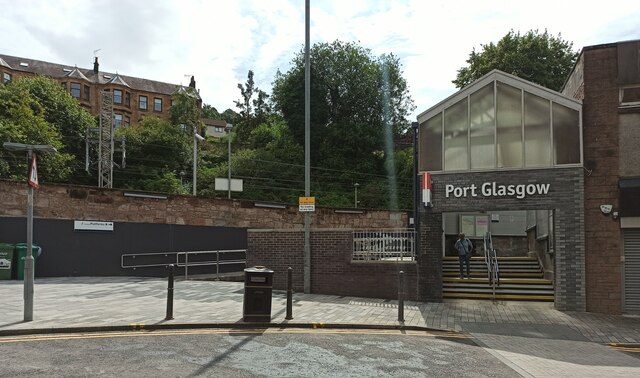
Port Glasgow railway station
Port Glasgow railway station is on the Inverclyde Line, serving the town of Port Glasgow, Scotland. It is located in the town centre with the main entrance...
Port Glasgow
Port Glasgow (Scottish Gaelic: Port Ghlaschu, pronounced [pʰɔrˠʃt̪ˈɣl̪ˠas̪əxu]) is the second-largest town in the Inverclyde council area of Scotland....

Bogston railway station
Bogston railway station is on the Inverclyde Line, at Bogston in the East end of Greenock in Inverclyde council area, Scotland. The station is 213⁄4 miles...
Nearby Amenities
Located within 500m of 55.91869,-4.7062773Have you been to Devol Moor?
Leave your review of Devol Moor below (or comments, questions and feedback).