Bad nam Feannag

Downs, Moorland in Cromartyshire

Scotland

Bad nam Feannag

Druim nam Feannag of Cnoc Damh near Inveroykel
Druim nam Feannag of Cnoc Damh near Inveroykel Credit: ian shiell

The requested URL returned error: 429 Too Many Requests

If you have any feedback on the listing, please let us know in the comments section below.

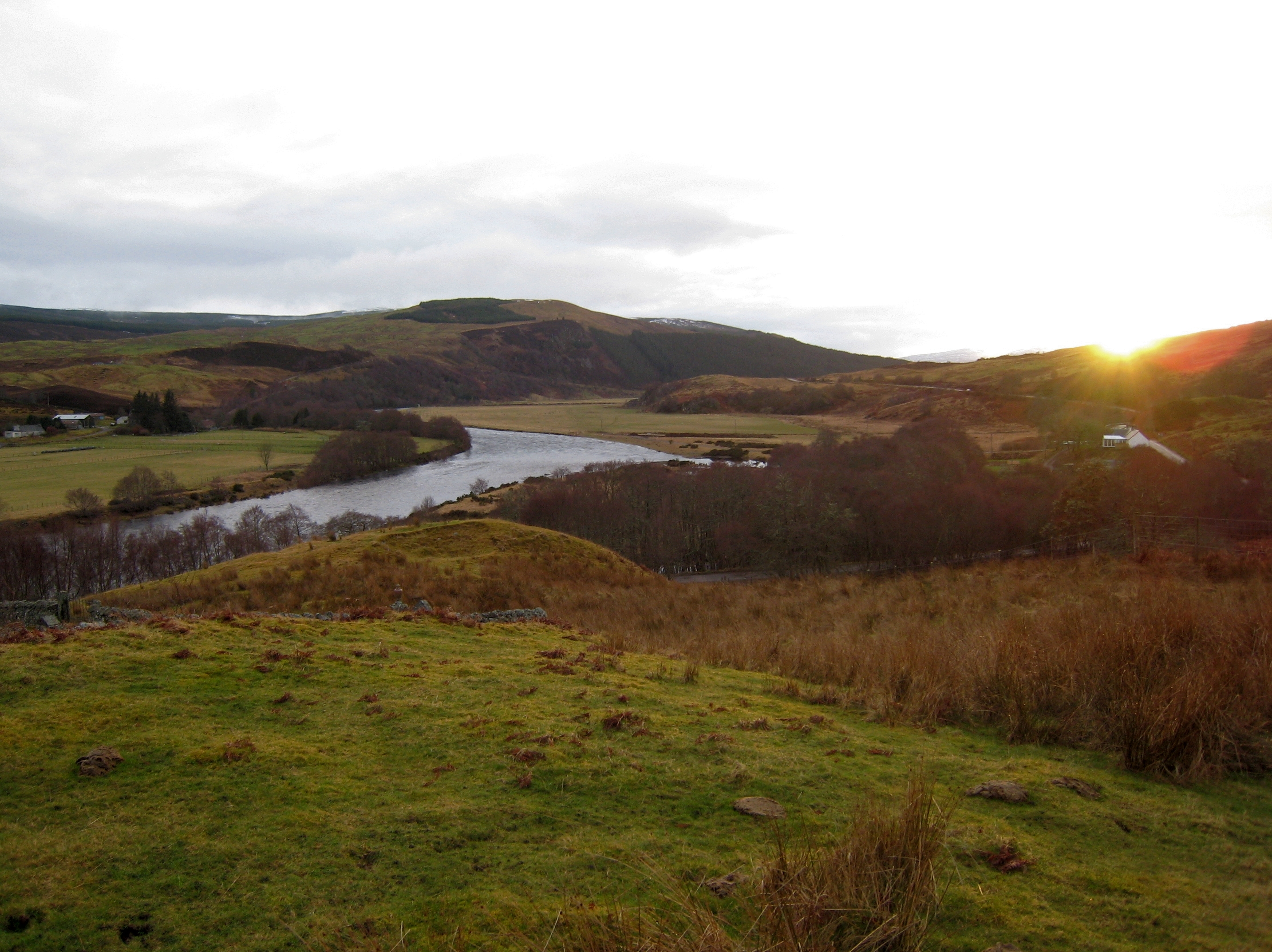
Bad nam Feannag Images

Images are sourced within 2km of 57.941394/-4.8559191 or Grid Reference NH3198. Thanks to Geograph Open Source API. All images are credited.

Druim nam Feannag of Cnoc Damh near Inveroykel
View north off Druim nam Feannag of Cnoc Damh near Inveroykel
Typical terrain on this ridge of Cnoc Damh near Inveroykel Not the worst of bogland though as there is a stoney base under a mostly shallow layer of peat - at least on the ridge.
Typical terrain on this ridge of Cnoc Damh near Inveroykel
Not the worst of bogland though as there is a stoney base under a mostly shallow layer of peat - at least on the ridge.
Couple of stones mark the summit of this unnamed hill Looking west to the hills to the north of Ullapool
Couple of stones mark the summit of this unnamed hill
Looking west to the hills to the north of Ullapool
After crossing the Abhainn Poiblidh, en route to Oykel Bridge Shin deep, and fairly fast flowing, after recent rain.
After crossing the Abhainn Poiblidh, en route to Oykel Bridge
Shin deep, and fairly fast flowing, after recent rain.
River Einig The shingle bank is exposed on the inside of a bend, the river cutting hard into the outside. The river drains a vast area of very wet deer forest. There are no high hills here and few visitors.
River Einig
The shingle bank is exposed on the inside of a bend, the river cutting hard into the outside. The river drains a vast area of very wet deer forest. There are no high hills here and few visitors.
Ford, Poblie Crossing the Abhainn Poiblidh by a ruined house. This was probably a shepherd's dwelling. Crossing rivers safely is a vital skill in the Highlands, bridges can be a luxury, and water levels are often very high.
Ford, Poblie
Crossing the Abhainn Poiblidh by a ruined house. This was probably a shepherd's dwelling. Crossing rivers safely is a vital skill in the Highlands, bridges can be a luxury, and water levels are often very high.
Eroded banks of Abhainn Poiblidh, with Glen Einig in distance
Path below Druim nam Feannag Half way into our Coast 2 Coast cycle, we were beginning to approach civilisation again.  We knew when we turned east shortly, that we'd be heading for Croisk and the road.
Path below Druim nam Feannag
Half way into our Coast 2 Coast cycle, we were beginning to approach civilisation again. We knew when we turned east shortly, that we'd be heading for Croisk and the road.
Fording the Abhainn Poiblidh This was taken after a really dry spell, It think you'd get your feet wet normally.
Fording the Abhainn Poiblidh
This was taken after a really dry spell, It think you'd get your feet wet normally.
Old sheep pens beside Abhainn Poiblidh The track to Glen Achall can be seen in the background.
Old sheep pens beside Abhainn Poiblidh
The track to Glen Achall can be seen in the background.
Track to Loch an Daimh There has been some upgrading work done on this estate track which provides a through route from coast to coast.
Track to Loch an Daimh
There has been some upgrading work done on this estate track which provides a through route from coast to coast.
Loch an Daimh - Glen Einig  track A long established small road running from the west end of Loch an Daimh to Duag Bridge in Glen Einig. The track gives good riding and is used as part of several backpacking routes.
Loch an Daimh - Glen Einig track
A long established small road running from the west end of Loch an Daimh to Duag Bridge in Glen Einig. The track gives good riding and is used as part of several backpacking routes.
Erosion, Allt Poiblidh Exposed deposits alongside the Allt Poinlidh below Mullach a' Chadha Bhuidhe.
Erosion, Allt Poiblidh
Exposed deposits alongside the Allt Poinlidh below Mullach a' Chadha Bhuidhe.
Rough grassland, Allt Poiblidh A grassy glen between Mullach a' Chadha Bhuidhe (background) and Cnoc Damh.
Rough grassland, Allt Poiblidh
A grassy glen between Mullach a' Chadha Bhuidhe (background) and Cnoc Damh.
Duag Bridge - Loch Daimh track Shown as a path, but a very rideable track which makes a good route between Ullapool and Easter Ross, the view shows the area of the summit of the pass across the watershed at c.230m
This would once have been the long walk to and from the school at Duag Bridge for any children living at Knockdamph/Cnoc Damh.
Duag Bridge - Loch Daimh track
Shown as a path, but a very rideable track which makes a good route between Ullapool and Easter Ross, the view shows the area of the summit of the pass across the watershed at c.230m This would once have been the long walk to and from the school at Duag Bridge for any children living at Knockdamph/Cnoc Damh.
Duag Bridge - Loch Daimh track Looking along the road towards Glen Einig. This track links long estate roads running in from both east and west coasts over a low pass near Loch an Daimh. It is a very useful through route for unmotorised travel and becoming popular. You can walk or ride from one side of Scotland to another in a day by this route.
Duag Bridge - Loch Daimh track
Looking along the road towards Glen Einig. This track links long estate roads running in from both east and west coasts over a low pass near Loch an Daimh. It is a very useful through route for unmotorised travel and becoming popular. You can walk or ride from one side of Scotland to another in a day by this route.
Path, Rappach Water Downstream of Rappaig, the path is distinct and well drained for a short while.
Path, Rappach Water
Downstream of Rappaig, the path is distinct and well drained for a short while.
Show me another place!

Bad nam Feannag is located at Grid Ref: NH3198 (Lat: 57.941394, Lng: -4.8559191)

Unitary Authority: Highland

Police Authority: Highlands and Islands

What 3 Words

///catching.wimp.sweeter. Near Ullapool, Highland

Nearby Locations

Bad nam Feannag

Related Wikis

Lubcroy

Lubcroy is a lodge in Glen Oykel, in Sutherland, Scottish Highlands and is in the Scottish council area of Highland.The A837 road passes through Lubcroy...

Rhidorroch

Rhidorroch (Scottish Gaelic: An Ruigh Dhorcha) is a deer forest east of Ullapool, Ross-shire, Scotland, centred on the extended catchment of the Ullapool...

River Oykel

The River Oykel (Scottish Gaelic: Òiceall or Abhainn Òiceall, pronounced [ˈa.ɪɲ ˈɔːçkʲəl̪ˠ]) is a major river in northern Scotland that is famous for its...

Nearby Amenities

Located within 500m of 57.941394,-4.8559191
Ford: yes
Lat/Long: 57.9442417/-4.8605598
The data included in this document is from www.openstreetmap.org. The data is made available under ODbL.

Have you been to Bad nam Feannag?

Leave your review of Bad nam Feannag below (or comments, questions and feedback).