Hawkstor Downs
Downs, Moorland in Cornwall
England
Hawkstor Downs
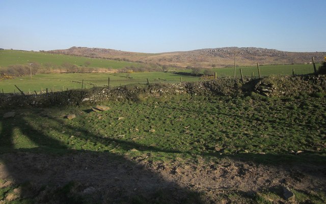
Hawkstor Downs is a vast and picturesque expanse of moorland located in the county of Cornwall, England. Situated in the southwestern part of the county, the downs offer breathtaking views and a tranquil atmosphere for nature lovers and outdoor enthusiasts alike.
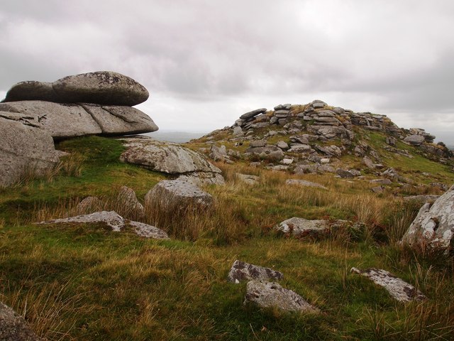
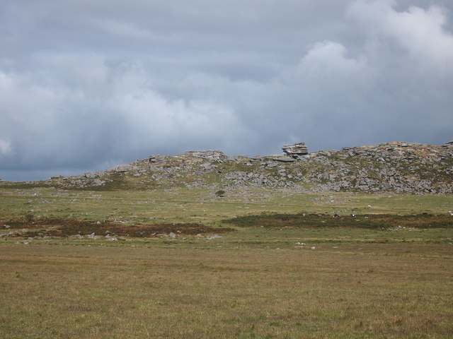
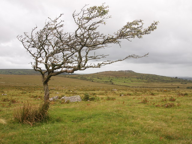
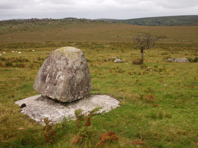
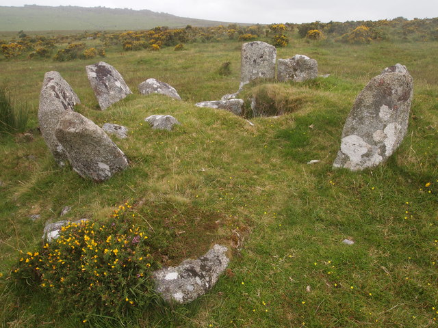
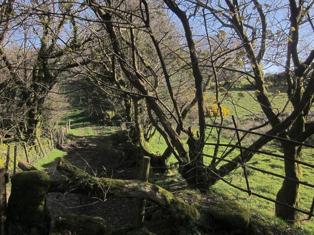
Covering an area of approximately 400 acres, Hawkstor Downs is characterized by its rolling hills, heather-covered landscapes, and scattered granite outcrops. The moorland is renowned for its rich biodiversity, housing a variety of wildlife species, including numerous bird species, such as buzzards, kestrels, and skylarks. The area is also home to small mammals like rabbits, voles, and even the occasional sighting of a fox or deer.
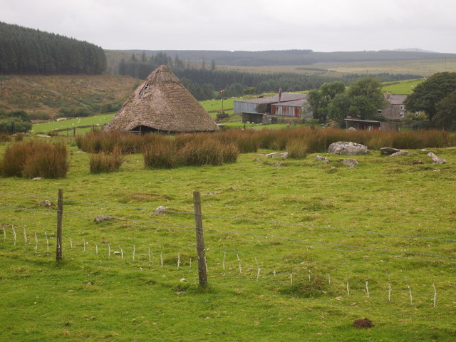
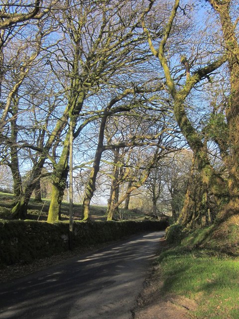
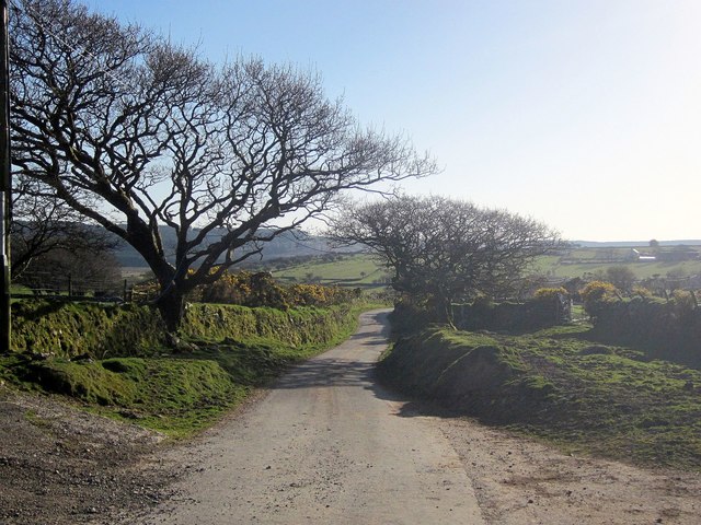
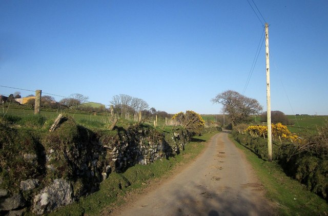
Hawkstor Downs attracts visitors throughout the year, who come to enjoy its natural beauty and serenity. The moorland offers numerous walking trails and paths, allowing visitors to explore the area on foot and marvel at the stunning vistas that unfold before them. The open expanses are perfect for picnics, and many visitors take advantage of the scenic surroundings to relax and unwind.
The downs are also a popular spot for birdwatching enthusiasts, who can observe various species in their natural habitat. The moorland's unique ecology provides an ideal breeding ground for several bird species, making it a haven for ornithologists and bird lovers.
With its untouched beauty, diverse wildlife, and peaceful ambiance, Hawkstor Downs truly offers a delightful escape into nature for all who venture to this corner of Cornwall.
If you have any feedback on the listing, please let us know in the comments section below.
Hawkstor Downs Images
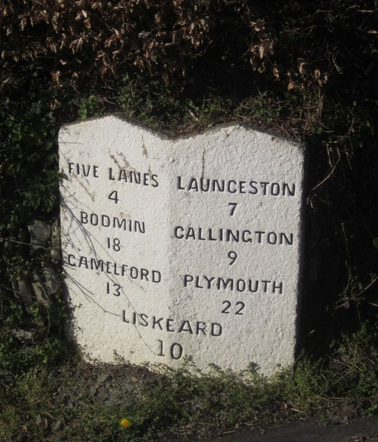
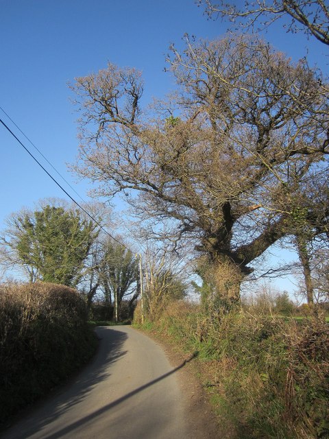
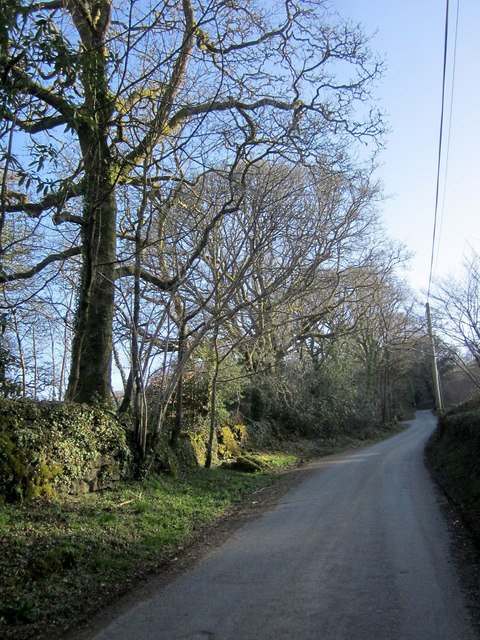
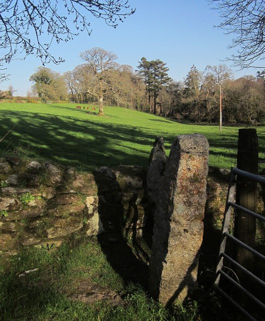
Images are sourced within 2km of 50.561726/-4.4656361 or Grid Reference SX2576. Thanks to Geograph Open Source API. All images are credited.

Hawkstor Downs is located at Grid Ref: SX2576 (Lat: 50.561726, Lng: -4.4656361)
Unitary Authority: Cornwall
Police Authority: Devon and Cornwall
What 3 Words
///daydreams.flood.editor. Near North Hill, Cornwall
Nearby Locations
Related Wikis
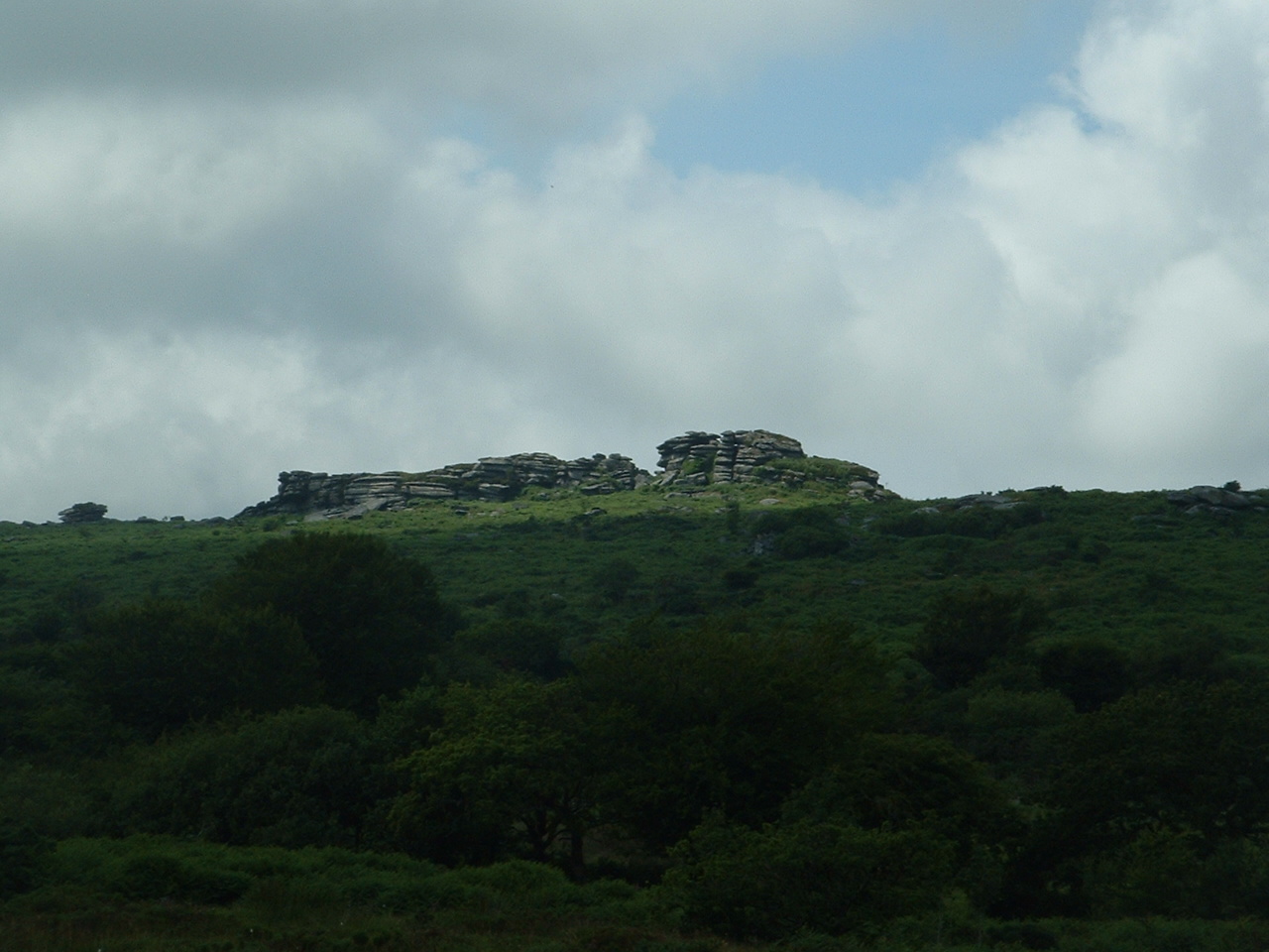
Hawk's Tor, North Hill
Hawk's Tor is an elongated hill, 329 metres (1,079 ft) high and running from WSW to ENE, on Bodmin Moor in the county of Cornwall, England, UK. It stands...
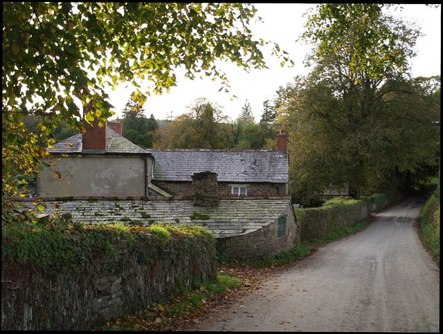
Trebartha
Trebartha is a hamlet in Cornwall, England, United Kingdom, in the parish of North Hill and in the valley of the River Lynher. == History == The manor...

North Hill, Cornwall
North Hill (Cornish: Bre Gledh) is a village and civil parish in Cornwall, England, United Kingdom. The village is situated on the east side of the River...

Berriowbridge
Berriowbridge is a hamlet in the parish of North Hill in east Cornwall, England, United Kingdom. It is situated in the River Lynher valley on the southeast...

Middlewood, Cornwall
Middlewood is a small village in the parish of North Hill, Cornwall, England, UK. Middlewood is in the valley of the River Lynher and on the B3254 road...

Kingbeare
Kingbeare is a hamlet in the parish of North Hill, Cornwall, England. == References ==
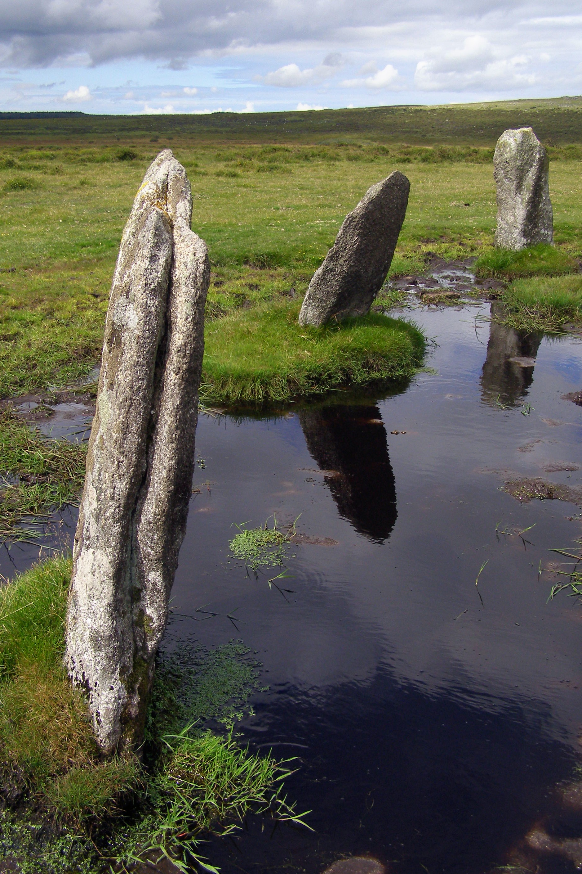
Nine Stones, Altarnun
The Nine Stones (or Altarnun stone circle) is a stone circle 3 kilometres (1.9 mi) south southeast of Altarnun, 11 kilometres (6.8 mi) west of Launceston...

Trevadlock
Trevadlock is a hamlet south of Lewannick, Cornwall, United Kingdom. It includes a re-furbished old chapel, old schoolroom and semi-detached cottages....
Nearby Amenities
Located within 500m of 50.561726,-4.4656361Have you been to Hawkstor Downs?
Leave your review of Hawkstor Downs below (or comments, questions and feedback).