Allabury

Heritage Site in Cornwall

England

Allabury

St Torney's Church
St Torney's Church Credit: Paul Barnett

Allabury, Cornwall, is a historic heritage site located in the southwestern region of England. Situated on the southern coast of Cornwall, Allabury is renowned for its rich cultural and historical significance. The site encompasses a vast area of approximately 100 acres and is home to numerous ancient structures and archaeological remains.

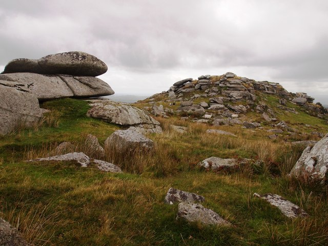
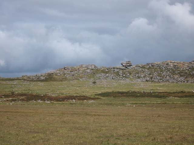
The origins of Allabury can be traced back to the Iron Age, with evidence of human habitation dating back over 2,000 years. The site features the remains of an Iron Age hillfort, consisting of ramparts and ditches that once served as a defensive structure. This hillfort offers a fascinating glimpse into the lives and activities of the inhabitants during this era.

Throughout the centuries, Allabury continued to evolve, with the construction of a medieval castle during the Norman period. The castle, now in ruins, was once a formidable stronghold, providing protection to the local population and serving as a center of power.

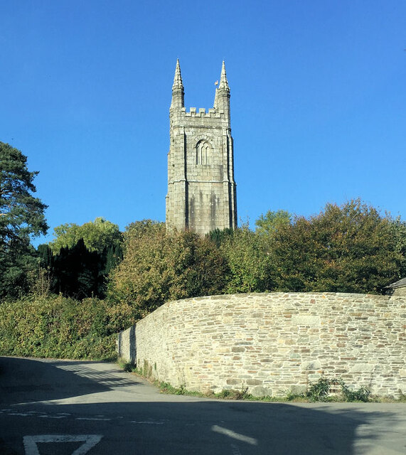
In addition to the hillfort and castle, Allabury boasts several other notable features. These include a medieval church, which still stands in remarkable condition, showcasing intricate architectural details. The site also features a well-preserved Roman road, connecting Allabury to other important settlements in the region.

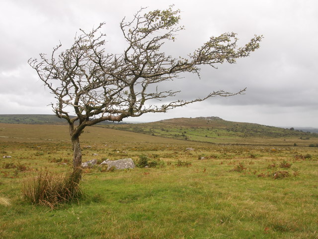
Visitors to Allabury can explore the extensive network of walking trails, allowing them to immerse themselves in the site's rich history and breathtaking natural beauty. Interpretive panels and guided tours are available, providing valuable insights into the significance of the various structures and their historical context.

Allabury, Cornwall, is a true treasure trove of history and offers a unique opportunity to step back in time and experience the fascinating heritage of this remarkable site.

If you have any feedback on the listing, please let us know in the comments section below.
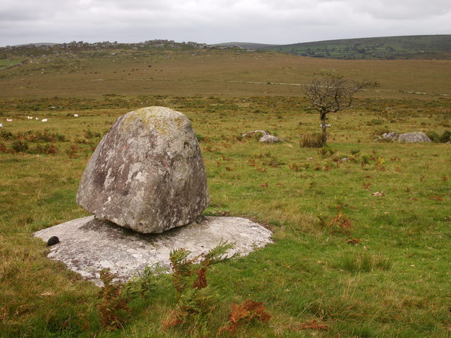
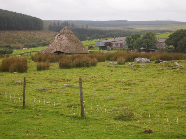
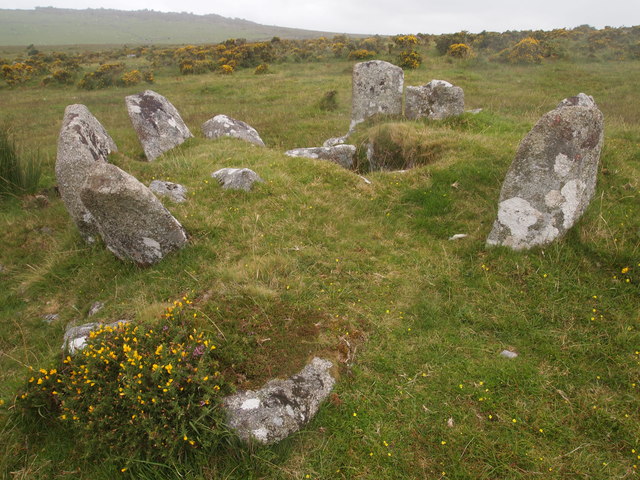
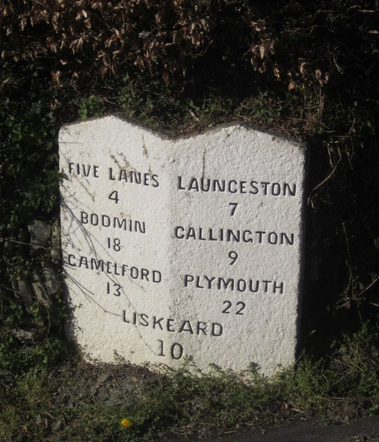
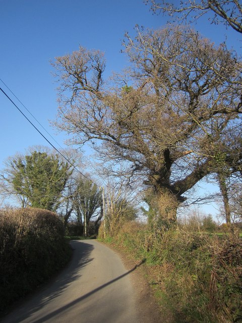
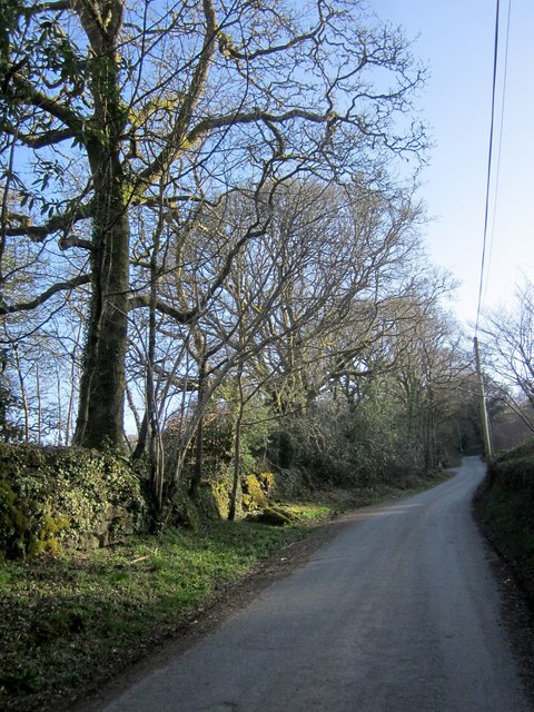
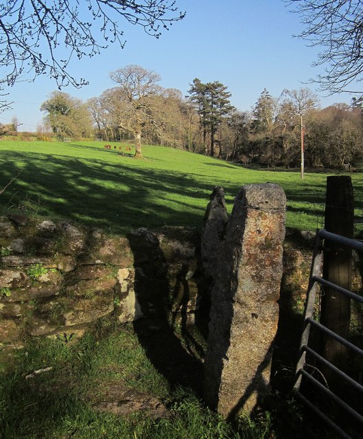
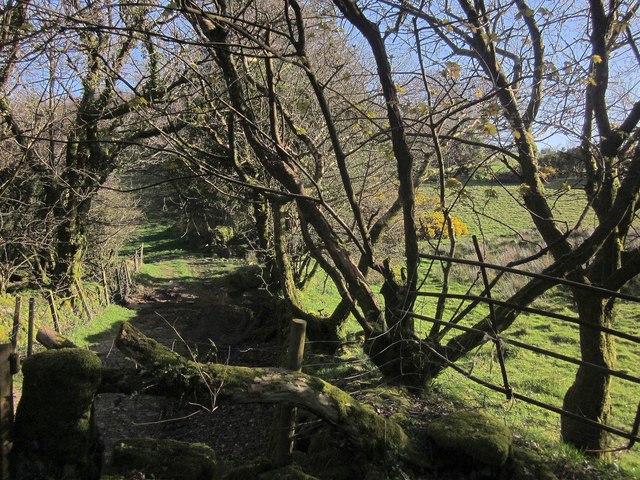
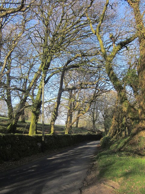
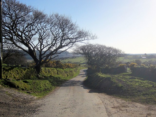
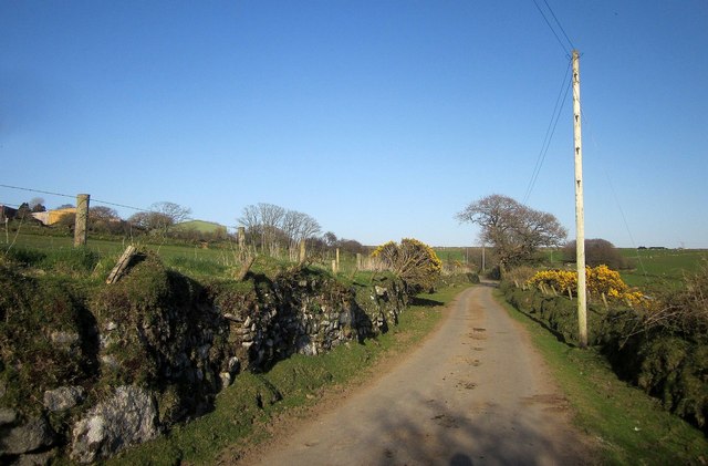
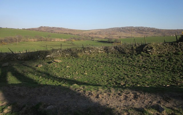
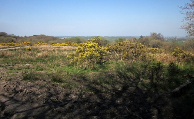
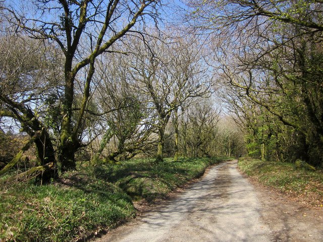
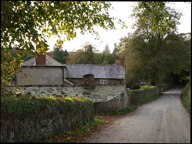
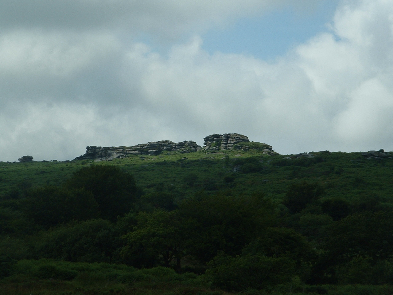
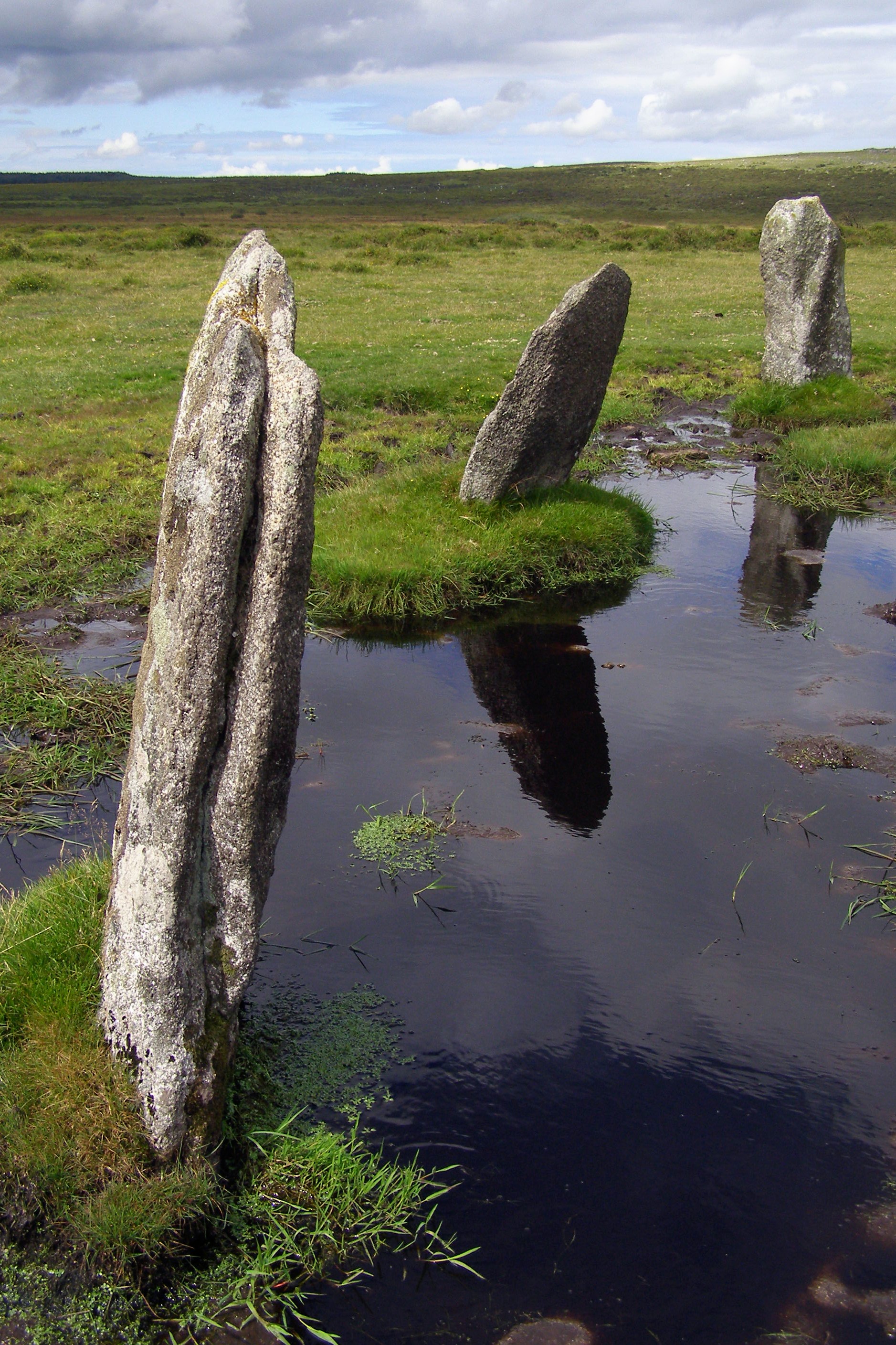
Allabury Images

Images are sourced within 2km of 50.562/-4.463 or Grid Reference SX2576. Thanks to Geograph Open Source API. All images are credited.

St Torney's Church
St Torney's Church
Bearah Tor
Bearah Tor
High Rock, Kilmar Tor
Twelve Men's Moor
Twelve Men's Moor
Boulder, Twelve Men's Moor
Reconstruction of a Roundhouse, Trewortha
Cairn and Cist, Below Kilmar Tor Trewortha Tor in the distance.
Cairn and Cist, Below Kilmar Tor
Trewortha Tor in the distance.
Milestone, Trebartha This fine milestone is of "unusual design ... in the form of a double post with two triangular heads" <span class="nowrap"><a title="http://www.historicengland.org.uk/listing/the-list/list-entry/1250154" rel="nofollow ugc noopener" href="http://www.historicengland.org.uk/listing/the-list/list-entry/1250154">Link</a><img style="margin-left:2px;" alt="External link" title="External link - shift click to open in new window" src="https://s1.geograph.org.uk/img/external.png" width="10" height="10"/></span> . The description then confuses the places and their respective distances, but the milestone itself is impeccably clear. It is also visible in <a href="https://www.geograph.org.uk/photo/4431488">SX2677 : Crossroads, Trebartha</a>.
Milestone, Trebartha
This fine milestone is of "unusual design ... in the form of a double post with two triangular heads" LinkExternal link . The description then confuses the places and their respective distances, but the milestone itself is impeccably clear. It is also visible in SX2677 : Crossroads, Trebartha.
Lane at Stonaford An oak by a lane making a brief visit to this square.
Lane at Stonaford
An oak by a lane making a brief visit to this square.
Lane past Stonaford Stones Plantation A no through road onto Bodmin Moor, seen from the same spot as <a href="https://www.geograph.org.uk/photo/4431506">SX2577 : Lane past  Stonaford House</a>.
Lane past Stonaford Stones Plantation
A no through road onto Bodmin Moor, seen from the same spot as SX2577 : Lane past Stonaford House.
Gateposts, wall and field, Stonaford A short way into the field, well before the tree and cattle, the line of view crosses into <a href="https://www.geograph.org.uk/gridref/SX2577">SX2577</a>.
Gateposts, wall and field, Stonaford
A short way into the field, well before the tree and cattle, the line of view crosses into SX2577.
Track south-west of Stonaford A private track, obstructed in the foreground, leading from the no through lane from Tresellern to Lemarnedown Plantation.
Track south-west of Stonaford
A private track, obstructed in the foreground, leading from the no through lane from Tresellern to Lemarnedown Plantation.
Lane to Stonaford The no through lane from Tresellern, seen from the same spot as <a href="https://www.geograph.org.uk/photo/4701747">SX2577 : Track south-west of Stonaford</a>, running through trees that form a western extension of Old Plantation.
Lane to Stonaford
The no through lane from Tresellern, seen from the same spot as SX2577 : Track south-west of Stonaford, running through trees that form a western extension of Old Plantation.
Lane to Tresellern The no through lane to Tresellern descends towards the stream shown in <a href="https://www.geograph.org.uk/photo/4431602">SX2377 : Stream by Industry</a>, where it ends as a public road.
Lane to Tresellern
The no through lane to Tresellern descends towards the stream shown in SX2377 : Stream by Industry, where it ends as a public road.
Lane from Tresellern The no through lane from Tresellern, with a Cornish hedge on the left, and possibly the right too.
Lane from Tresellern
The no through lane from Tresellern, with a Cornish hedge on the left, and possibly the right too.
View near Tresellern A wider angle version of the scene in <a href="https://www.geograph.org.uk/photo/4431620">SX2376 : View near Tresellern</a>, showing the wide drove-like nature of the route in the foreground, well over 20 metres in width, of which only 5 metres are occupied by the track.
View near Tresellern
A wider angle version of the scene in SX2376 : View near Tresellern, showing the wide drove-like nature of the route in the foreground, well over 20 metres in width, of which only 5 metres are occupied by the track.
Gorse above East Castick Wood Seen from beside the lane to Twelve Men's Moor.
Gorse above East Castick Wood
Seen from beside the lane to Twelve Men's Moor.
Lane to Berriowbridge Skirting Bowdanoddon Wood on the right, this is the no through road from Twelve Men's Moor.
Lane to Berriowbridge
Skirting Bowdanoddon Wood on the right, this is the no through road from Twelve Men's Moor.
Show me another place!

Allabury is located at Grid Ref: SX2576 (Lat: 50.562, Lng: -4.463)

Unitary Authority: Cornwall

Police Authority: Devon and Cornwall

What 3 Words

///thud.pops.turntable. Near North Hill, Cornwall

Related Wikis

Nearby Amenities

Located within 500m of 50.562,-4.463
Hawk's Tor
Ele: 329
Name Kw: Torr Hok
Natural: peak
Wikidata: Q28340973
Wikipedia: en:Hawk's Tor, North Hill
Lat/Long: 50.5606122/-4.4667867
The data included in this document is from www.openstreetmap.org. The data is made available under ODbL.

Have you been to Allabury?

Leave your review of Allabury below (or comments, questions and feedback).