Bracken Brae
Downs, Moorland in Ayrshire
Scotland
Bracken Brae

Bracken Brae is a picturesque area located in Ayrshire, Scotland. It is situated on the outskirts of the town of Ayr and is renowned for its stunning landscape, characterized by rolling downs and expansive moorland. The name "Bracken Brae" aptly describes the abundance of bracken ferns that cover the terrain, providing a vibrant carpet of green during the summer months.
The downs of Bracken Brae offer breathtaking panoramic views of the surrounding countryside, with gentle slopes that are perfect for leisurely walks and hikes. This area is a haven for nature lovers and outdoor enthusiasts, as it is home to a diverse range of flora and fauna. Visitors may spot various species of wildflowers, heather, and gorse, as well as birds such as skylarks and pheasants.
The moorland of Bracken Brae is equally captivating, featuring vast expanses of open space dotted with tufts of heather and moss. The rugged terrain provides a unique habitat for wildlife, including deer, foxes, and rabbits. The moors are also known for their peat bogs, which are important in maintaining the area's ecological balance.
Bracken Brae is a place of tranquility and natural beauty, offering a respite from the hustle and bustle of urban life. It is a popular destination for outdoor activities such as picnicking, horseback riding, and birdwatching. Whether exploring the downs or immersing oneself in the moorland, visitors to Bracken Brae are sure to be captivated by its untouched charm and stunning vistas.
If you have any feedback on the listing, please let us know in the comments section below.
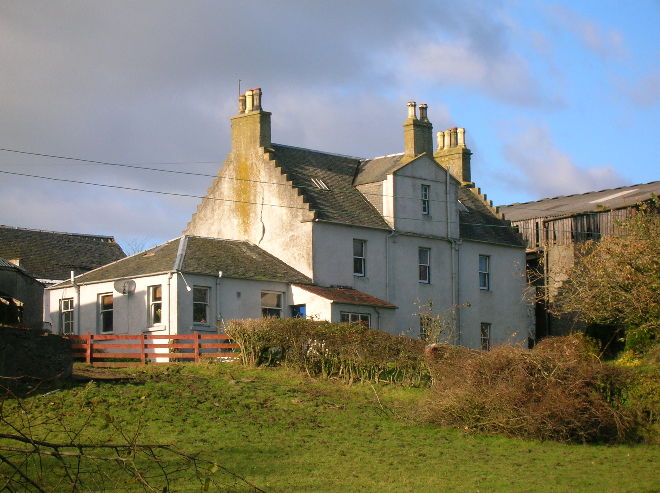
Bracken Brae Images
Images are sourced within 2km of 55.706092/-4.7794452 or Grid Reference NS2549. Thanks to Geograph Open Source API. All images are credited.


Bracken Brae is located at Grid Ref: NS2549 (Lat: 55.706092, Lng: -4.7794452)
Unitary Authority: North Ayrshire
Police Authority: Ayrshire
What 3 Words
///steadier.tent.drawn. Near Dalry, North Ayrshire
Nearby Locations
Related Wikis
Giffordland
Giffordland is in North Ayrshire, Parish of Dalry (Cunninghame) in the former Region of Strathclyde, Scotland. == Background == Giffordland was a small...

Knockewart Loch
Knockewart Loch or Loch Jargon was situated in a hollow lying area beneath Knockewart Hill in the Parish of Ardrossan, North Ayrshire, Scotland. The old...

Ardrossan Wind Farm
The 24 megawatt (MW) Ardrossan Wind Farm in Ardrossan, North Ayrshire, Scotland was officially opened on 10 August 2004. The Vestas factory in Argyll,...

Lynn Spout
Lynn Spout is a waterfall on the Caaf Water near Dalry in Ayrshire in Scotland. == See also == Waterfalls of Scotland == References ==

Dalry, North Ayrshire
Dalry () is a small town in the Garnock Valley in Ayrshire, Scotland. Drakemyre is a northern suburb. == History == Dalry (from Scottish Gaelic: Dail Ruighe...
Drakemyre, North Ayrshire
Drakemyre or Drakemire was once a distinct village on the Rye Water in North Ayrshire, Parish of Dalry, Scotland. The settlement on the B780 road to Kilbirnie...

Caaf Water
The Caaf Water in western Scotland (Keaff in 1747 also Caff) drains from the Caaf Reservoir above Dalry which is fed from Knockendon Reservoir. The Caaf...

Law Hill
Law Hill is a hill in the North Ayrshire town of West Kilbride, overlooking the Firth of Clyde and the hills of Arran beyond. The summit rises above the...
Related Videos
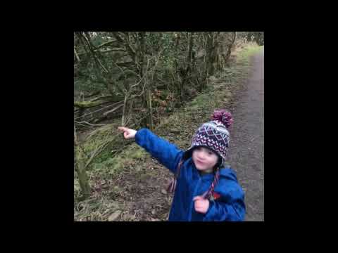
Lynn Falls | Dalry
A walk around the Lynn Glen in Dalry.
Nearby Amenities
Located within 500m of 55.706092,-4.7794452Have you been to Bracken Brae?
Leave your review of Bracken Brae below (or comments, questions and feedback).