Doire Mhòr

Downs, Moorland in Inverness-shire

Scotland

Doire Mhòr

Summit ridge above Doire Tana
Summit ridge above Doire Tana Credit: Alan Reid

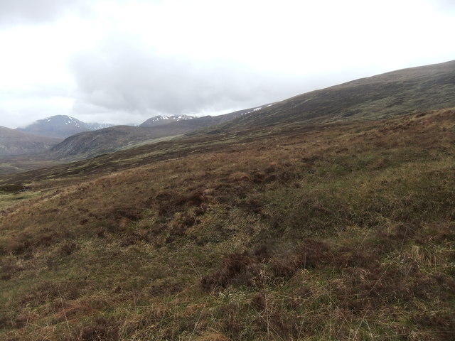
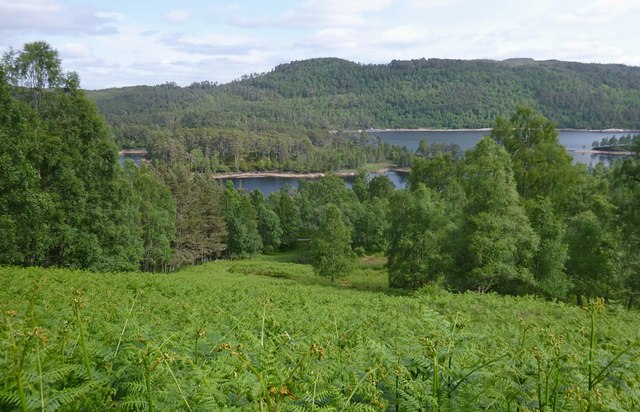
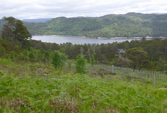
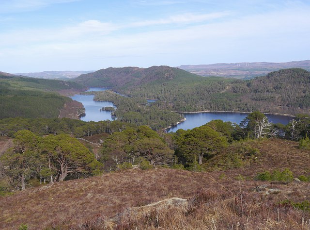
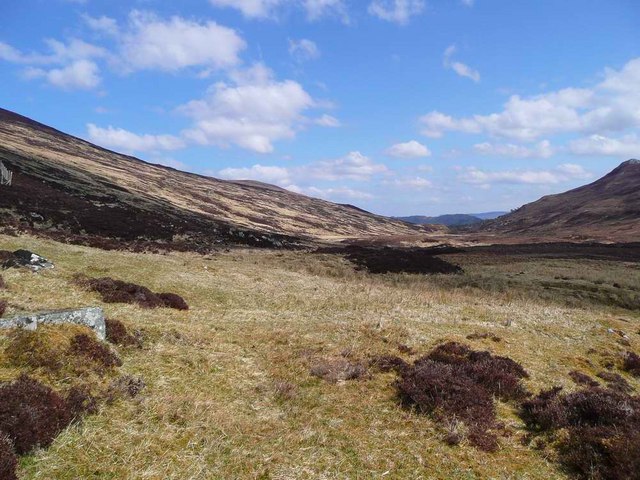
Doire Mhòr, located in Inverness-shire, Scotland, is a stunning expanse of downs and moorland that captivates visitors with its natural beauty and tranquil atmosphere. Spanning over a vast area, it is a haven for nature enthusiasts and hikers seeking to immerse themselves in the breathtaking Scottish countryside.

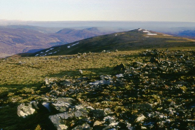
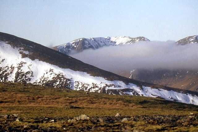
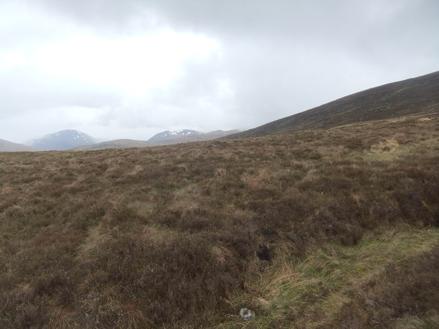
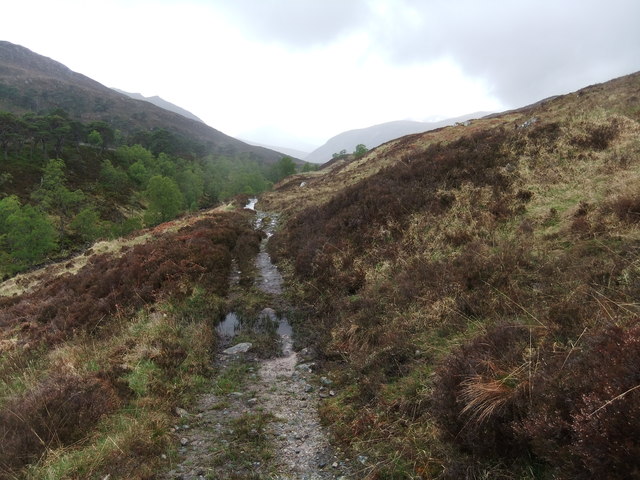
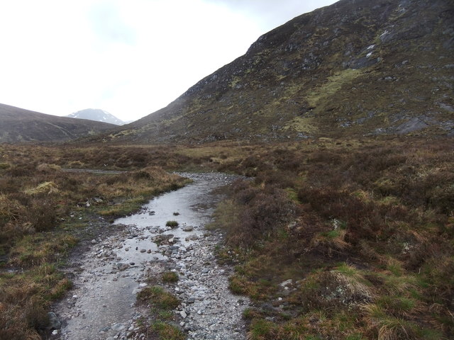
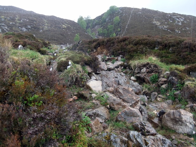
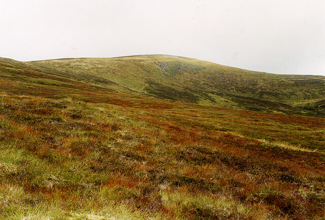
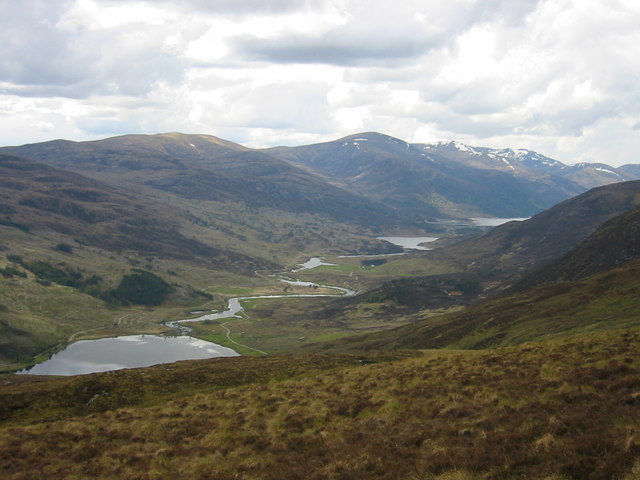
The downs of Doire Mhòr are characterized by rolling hills covered in lush green grass and scattered with wildflowers, creating a picturesque landscape that stretches as far as the eye can see. These downs offer stunning panoramic views of the surrounding area, including the nearby mountains and lochs, adding to the area's overall allure.

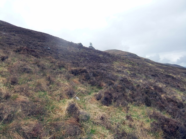
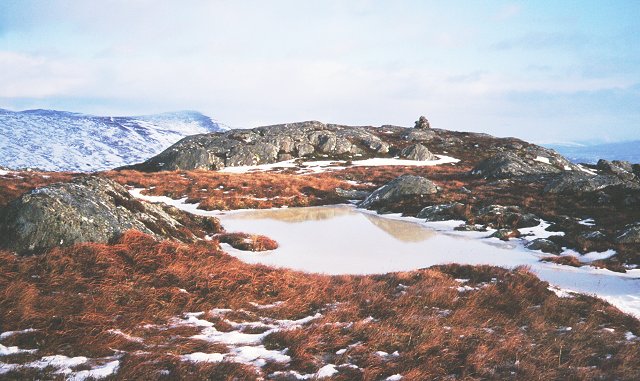
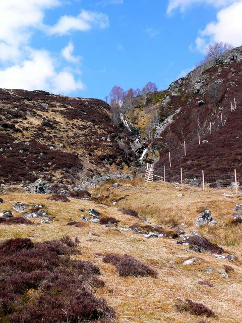
The moorland in Doire Mhòr is a unique ecosystem, boasting a diverse range of flora and fauna. Heather and mosses carpet the ground, providing a vibrant burst of color, especially during the summer months when the moorland is in full bloom. Rare bird species, such as the golden eagle and the red grouse, can be spotted soaring above, while smaller creatures like the mountain hare and red deer roam freely.

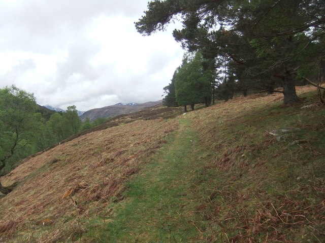
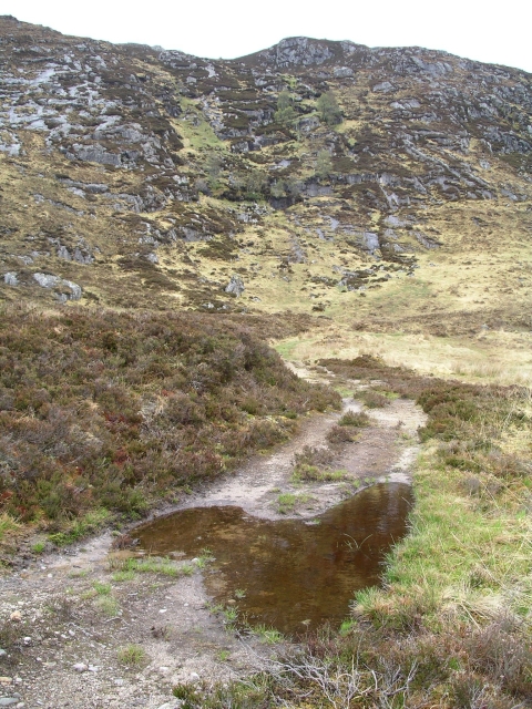
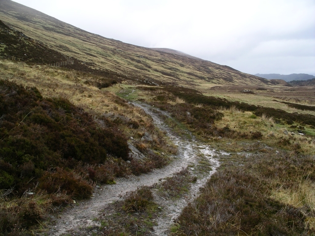
For hikers and outdoor enthusiasts, Doire Mhòr offers an extensive network of trails and paths, allowing visitors to explore the area at their own pace. These routes traverse the downs and moorland, providing opportunities for breathtaking walks and encounters with the local wildlife.

In summary, Doire Mhòr in Inverness-shire is a captivating destination that showcases the natural beauty of Scotland. Its downs and moorland offer a serene and picturesque environment, perfect for those seeking tranquility and a chance to immerse themselves in the country's stunning countryside.

If you have any feedback on the listing, please let us know in the comments section below.

Doire Mhòr Images

Images are sourced within 2km of 57.299663/-4.9492538 or Grid Reference NH2227. Thanks to Geograph Open Source API. All images are credited.

Summit ridge above Doire Tana
On the ridge above Doire Tana Sgurr na Lapaich in the background.
On the ridge above Doire Tana
Sgurr na Lapaich in the background.
Hill path by Coille Ruigh na Cuileige
Diore Mhòr A bleak spot with a decent view
Diore Mhòr
A bleak spot with a decent view
Empty moorland looking west
Damp hillside with solitary tree Meall Mhòr in the distance
Damp hillside with solitary tree
Meall Mhòr in the distance
Hill path above Allt na h-Imrich
Track under Beinn Eun Just a long paddling pool
Track under Beinn Eun
Just a long paddling pool
Allt Coire an t-Sneachda
Coire an t-Sneachda, Toll Creagach A faint but usable path climbs steeply alongside the Allt Coire an t-Sneachda, from the track down in the glen, taking you to this point. The going here on upwards is tedious, being heather-covered and damp. I headed for Beinn Eun, after which the climb up Toll Creagach is much easier.
Coire an t-Sneachda, Toll Creagach
A faint but usable path climbs steeply alongside the Allt Coire an t-Sneachda, from the track down in the glen, taking you to this point. The going here on upwards is tedious, being heather-covered and damp. I headed for Beinn Eun, after which the climb up Toll Creagach is much easier.
View over Loch Beinn a' Mheadhoin Viewed from the path which goes up by the Allt na h-Imrich, with a bracken covered slope in the foreground. Much of the loch is surrounded by Caledonian Forest.
View over Loch Beinn a' Mheadhoin
Viewed from the path which goes up by the Allt na h-Imrich, with a bracken covered slope in the foreground. Much of the loch is surrounded by Caledonian Forest.
Coille Ruigh na Cuileige exclosure, above Loch Beinn a' Mheadhoin A forest on the slopes to the north west of Loch Beinn a' Mheadhoinn. 
A fenced exclosure was erected around this area in 1990, one of the first projects by Trees for Life. A range of trees are now regenerating, including Scots pine, birch and rowan.
Coille Ruigh na Cuileige exclosure, above Loch Beinn a' Mheadhoin
A forest on the slopes to the north west of Loch Beinn a' Mheadhoinn. A fenced exclosure was erected around this area in 1990, one of the first projects by Trees for Life. A range of trees are now regenerating, including Scots pine, birch and rowan.
View over Loch Beinn a' Mheadhoin In the upper part of the Coille Ruigh na Cuileige enclosure, good views over the loch. This area has been fenced off for a number of years, now plenty of Scots pine trees regenerating on the slopes below.
View over Loch Beinn a' Mheadhoin
In the upper part of the Coille Ruigh na Cuileige enclosure, good views over the loch. This area has been fenced off for a number of years, now plenty of Scots pine trees regenerating on the slopes below.
Summit, Beinn a'Mheadhoin Beinn a'Mheadhoin gives its name to the reservoir below in Glen Affric. The hill itself is a short enjoyable walk from the end of the Affric public road.
Summit, Beinn a'Mheadhoin
Beinn a'Mheadhoin gives its name to the reservoir below in Glen Affric. The hill itself is a short enjoyable walk from the end of the Affric public road.
Track under Beinn Eun The branch to the E from the track up the Anhainn Gleann nam Fiadh.
Track under Beinn Eun
The branch to the E from the track up the Anhainn Gleann nam Fiadh.
Track under Beinn Eun just before the track ends at the junction with the Allt Coire an t-Sneachda
Track under Beinn Eun
just before the track ends at the junction with the Allt Coire an t-Sneachda
The end of the path The track from Gleann nam Fiadh eastwards towards Coille Ruigh na Cuileige peters out just as it comes to the Allt Coire an t-Sneachda.  This is the view eastwards after the path ends.
The end of the path
The track from Gleann nam Fiadh eastwards towards Coille Ruigh na Cuileige peters out just as it comes to the Allt Coire an t-Sneachda. This is the view eastwards after the path ends.
The gully of the Allt Coire an t-Sneachda With new deer fencing - presumably with the intent of assisting natural tree regeneration on this hillside.
The gully of the Allt Coire an t-Sneachda
With new deer fencing - presumably with the intent of assisting natural tree regeneration on this hillside.
Show me another place!

Doire Mhòr is located at Grid Ref: NH2227 (Lat: 57.299663, Lng: -4.9492538)

Unitary Authority: Highland

Police Authority: Highlands and Islands

What 3 Words

///trickles.perkily.intend. Near Cannich, Highland

Nearby Locations

Doire Mhòr

Related Wikis

Toll Creagach

Toll Creagach (1,054 m) is a mountain in the Northwest Highlands of Scotland. It lies between Glen Affric in the south and Loch Mullardoch in Inverness...

Glen Cannich

Glen Cannich (Scottish Gaelic: Gleann Chanaich) is a long glen in the Northwest Highlands of Scotland and through which runs the River Cannich. Emerging...

Loch Mullardoch

Loch Mullardoch is a major reservoir in Glen Cannich in the Northwest Highlands of Scotland. It was created by the damming in 1951 of the River Cannich...

Tom a' Chòinich

Tom a' Chòinich (Scottish Gaelic: An Tom Còinnich) is a mountain in the Northwest Highlands of Scotland. It is a Munro with a height of 1,112 metres (3...

Have you been to Doire Mhòr?

Leave your review of Doire Mhòr below (or comments, questions and feedback).