Montfode Braes
Downs, Moorland in Ayrshire
Scotland
Montfode Braes

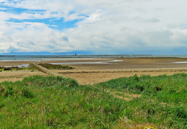
Montfode Braes is a picturesque area located in Ayrshire, Scotland. Situated on the outskirts of the town of Ardrossan, it is known for its captivating downs and moorland landscapes. Stretching across acres of undulating terrain, Montfode Braes offers visitors a unique blend of natural beauty and tranquility.
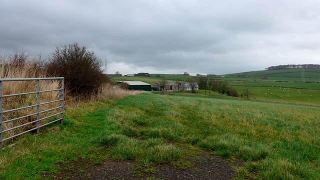
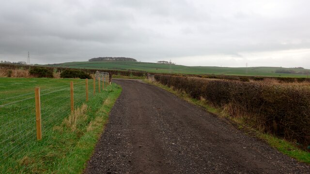
The downs in Montfode Braes are characterized by their gently rolling hills, covered in lush green grass and scattered with vibrant wildflowers during the summer months. The downs provide breathtaking views of the surrounding countryside, with glimpses of the nearby coastline adding to the charm. Walking or hiking along the well-maintained paths is a popular activity, allowing visitors to appreciate the stunning vistas and immerse themselves in the peaceful ambiance.
The moorland in Montfode Braes is a haven for wildlife enthusiasts and birdwatchers. This diverse ecosystem is home to various species of birds, including skylarks, lapwings, and meadow pipits, which can be observed in their natural habitats. The moorland is also dotted with heather and gorse, creating a colorful tapestry against the backdrop of rolling hills.
Montfode Braes is not only a haven for nature enthusiasts but also offers recreational activities for visitors. The area features picnic spots, where families and friends can enjoy a leisurely outdoor meal surrounded by the beauty of nature. Moreover, Montfode Braes is conveniently located close to Ardrossan, where visitors can find amenities such as shops, cafes, and accommodation options.
In summary, Montfode Braes is a captivating area in Ayrshire, offering a blend of downs and moorland landscapes. With its stunning views, diverse wildlife, and recreational opportunities, it is a must-visit destination for those seeking a peaceful and picturesque retreat in Scotland.
If you have any feedback on the listing, please let us know in the comments section below.
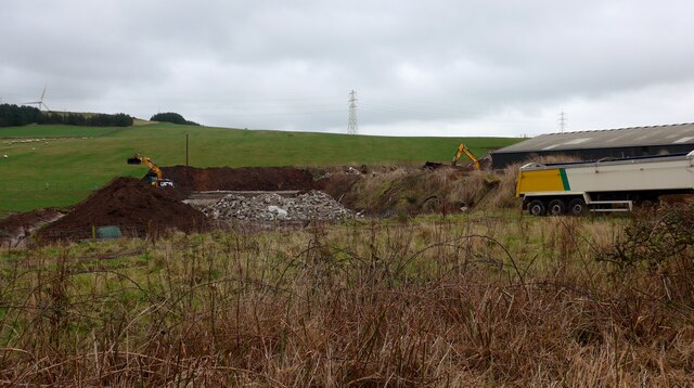
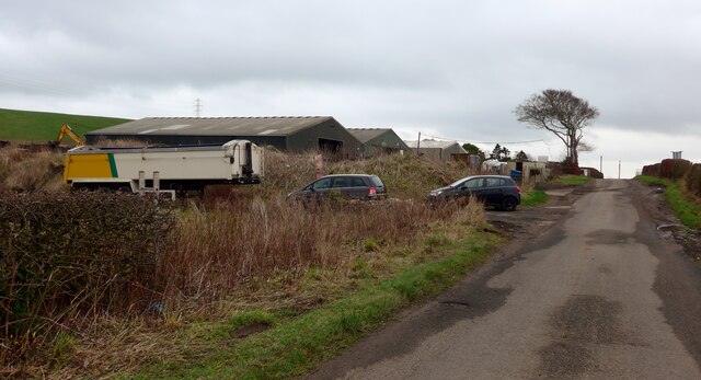
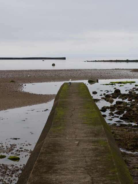
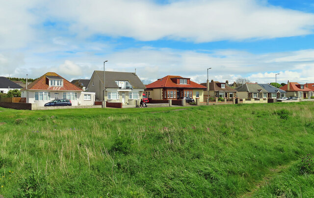
Montfode Braes Images
Images are sourced within 2km of 55.660371/-4.8255594 or Grid Reference NS2244. Thanks to Geograph Open Source API. All images are credited.


Montfode Braes is located at Grid Ref: NS2244 (Lat: 55.660371, Lng: -4.8255594)
Unitary Authority: North Ayrshire
Police Authority: Ayrshire
What 3 Words
///film.passes.pages. Near Ardrossan, North Ayrshire
Nearby Locations
Related Wikis

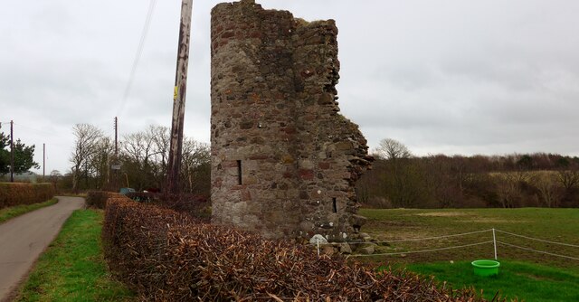
Montfode Castle
The remains of the old castle of Montfode or Monfode lie to the north-west of the town of Ardrossan and 1.5 miles (2.4 km) south-west of West Kilbride...
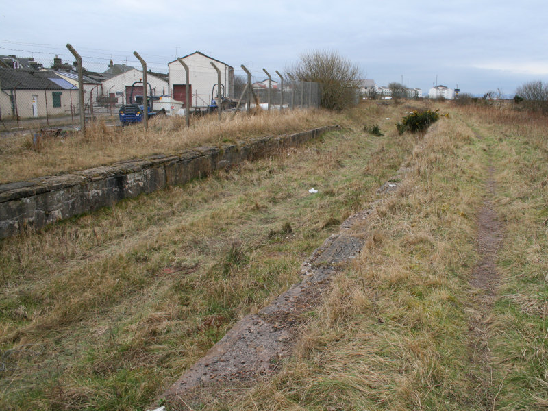
Ardrossan North railway station
Ardrossan North railway station was a railway station serving the town of Ardrossan, North Ayrshire, Scotland as part of the Lanarkshire and Ayrshire Railway...

Ardrossan Montgomerie Pier railway station
Ardrossan Montgomerie Pier railway station was a railway station serving the town of Ardrossan, North Ayrshire, Scotland as part of the Lanarkshire and...

Horse Isle
Horse Isle (Scottish Gaelic: Eilean nan Each) is an uninhabited island located in the Firth of Clyde, Scotland near the seaside town of Ardrossan. It is...
Nearby Amenities
Located within 500m of 55.660371,-4.8255594Have you been to Montfode Braes?
Leave your review of Montfode Braes below (or comments, questions and feedback).