Napp's Moor

Downs, Moorland in Cornwall

England

Napp's Moor

Lane to St Clether Climbing from the Inny valley.
Lane to St Clether Credit: Derek Harper

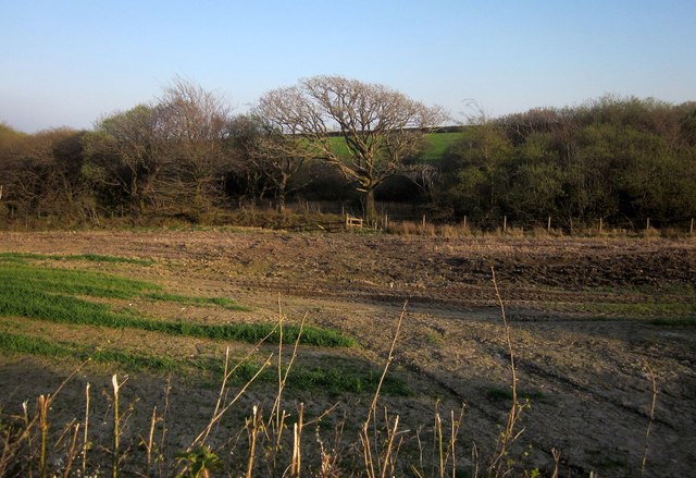
Napp's Moor, located in Cornwall, England, is a stunning landscape that showcases the natural beauty of the region. This expansive moorland is situated in the Downs area of Cornwall and offers visitors a tranquil and picturesque environment to explore.

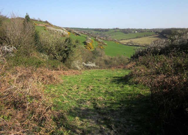
Covering a vast area of open grassland, Napp's Moor is characterized by its rolling hills, scattered with a variety of plant species and wildlife. The moorland is adorned with vibrant purple heather during the summer months, creating a breathtaking sight for nature enthusiasts and photographers alike.

The area is a haven for birdwatchers, as it is home to a diverse range of bird species. Visitors may catch a glimpse of the iconic red grouse, curlew, and skylark, among others. The moorland also supports a variety of other wildlife, such as rabbits, foxes, and even the occasional deer.

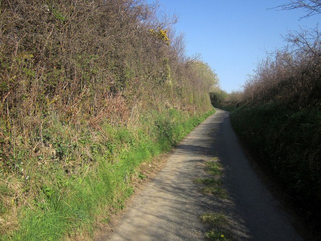
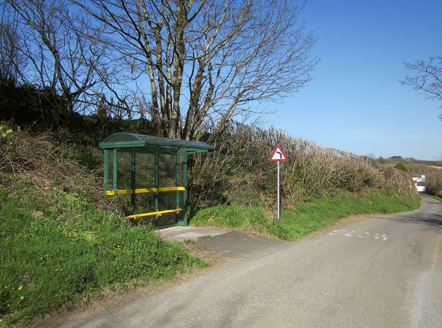
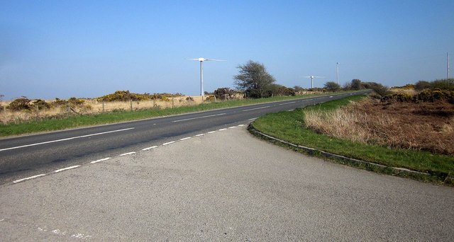
Napp's Moor offers several walking trails, providing visitors with the opportunity to explore the area at their own pace. These paths wind through the moorland, offering panoramic views of the surrounding countryside. The tranquil atmosphere and stunning vistas make Napp's Moor a popular spot for picnics and relaxation.

In addition to its natural beauty, Napp's Moor holds historical significance. The moorland was once used for grazing livestock and played an important role in the local agricultural economy.

Overall, Napp's Moor is a captivating landscape that offers visitors a chance to immerse themselves in the beauty of Cornwall's countryside. With its stunning views, diverse wildlife, and historical significance, it is a must-visit destination for nature lovers and those seeking a peaceful retreat.

If you have any feedback on the listing, please let us know in the comments section below.
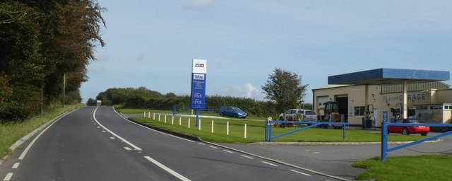
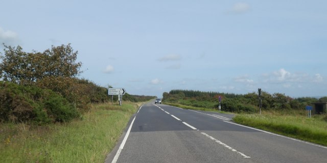
Napp's Moor Images

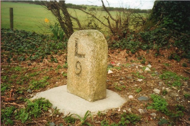
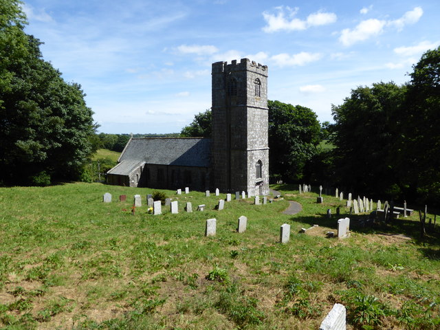
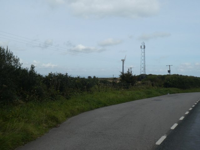
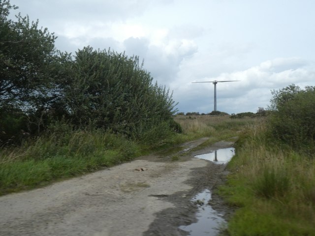
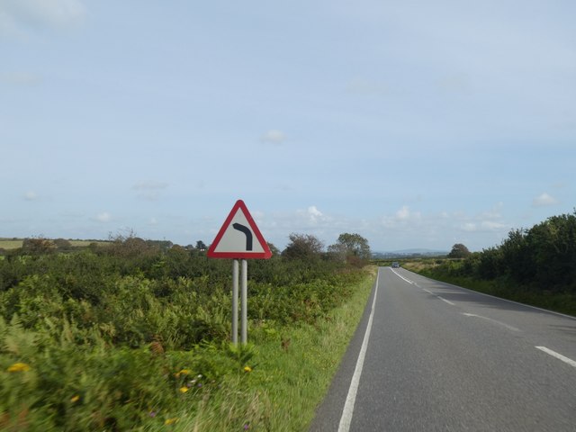
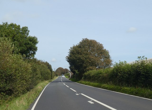
Images are sourced within 2km of 50.641903/-4.5256757 or Grid Reference SX2185. Thanks to Geograph Open Source API. All images are credited.

Lane to St Clether Climbing from the Inny valley.
Lane to St Clether
Climbing from the Inny valley.
Bus stop, Laneast As promised in <a href="https://www.geograph.org.uk/photo/4440636">SX2284 : Junction, Laneast</a>. The 410 service will take you Launceston or Delabole.
Bus stop, Laneast
As promised in SX2284 : Junction, Laneast. The 410 service will take you Launceston or Delabole.
Path near St Clether A little further on from <a href="https://www.geograph.org.uk/photo/4449232">SX2183 : Path near St Clether</a>, footpath 536 9/1 is just revealing the view in <a href="https://www.geograph.org.uk/photo/4439227">SX2183 : Inny valley below St Clether</a> and <a href="https://www.geograph.org.uk/photo/4449280">SX2183 : Hillside near St Clether</a>.
Path near St Clether
A little further on from SX2183 : Path near St Clether, footpath 536 9/1 is just revealing the view in SX2183 : Inny valley below St Clether and SX2183 : Hillside near St Clether.
A395 at Cold Northcott Wind Farm The entrance road to the gate shown in <a href="https://www.geograph.org.uk/photo/4449538">SX2185 : Cold Northcott Wind Farm</a>, with some of the wind turbines in the background.
A395 at Cold Northcott Wind Farm
The entrance road to the gate shown in SX2185 : Cold Northcott Wind Farm, with some of the wind turbines in the background.
Woodland near Kensey A tributary of the River Kensey is about 500 metres from its source here, and runs (to the left) along this side of a band of trees about 50 metres wide. As <a href="https://www.geograph.org.uk/photo/4439352">SX2187 : Road south of Treneglos</a>, taken from the same spot, explains, the parish boundary between Tresmeer and Treneglos runs along the stream.
Woodland near Kensey
A tributary of the River Kensey is about 500 metres from its source here, and runs (to the left) along this side of a band of trees about 50 metres wide. As SX2187 : Road south of Treneglos, taken from the same spot, explains, the parish boundary between Tresmeer and Treneglos runs along the stream.
Ordnance Survey Flush Bracket G3676 This can be found on the wall of a building at Hare and Hounds Farm.
For more detail see : <span class="nowrap"><a title="http://www.bench-marks.org.uk/bm15682" rel="nofollow ugc noopener" href="http://www.bench-marks.org.uk/bm15682">Link</a><img style="margin-left:2px;" alt="External link" title="External link - shift click to open in new window" src="https://s1.geograph.org.uk/img/external.png" width="10" height="10"/></span>
Ordnance Survey Flush Bracket G3676
This can be found on the wall of a building at Hare and Hounds Farm. For more detail see : LinkExternal link
Old Milestone by the A395, north of Laneast Carved stone post by the A395, in parish of LANEAST (NORTH CORNWALL District), Downhead, West of turn to Laneast, just East of lay-by, on North side of road. Launceston pillar, erected by the Launceston turnpike trust in the 19th century. 

Inscription reads:-
L
7 

Grade II Listed. List Entry Number: 1328072
<span class="nowrap"><a title="https://historicengland.org.uk/listing/the-list/list-entry/1328072" rel="nofollow ugc noopener" href="https://historicengland.org.uk/listing/the-list/list-entry/1328072">Link</a><img style="margin-left:2px;" alt="External link" title="External link - shift click to open in new window" src="https://s1.geograph.org.uk/img/external.png" width="10" height="10"/></span>

Milestone Society National ID: CW_LACF07.
Old Milestone by the A395, north of Laneast
Carved stone post by the A395, in parish of LANEAST (NORTH CORNWALL District), Downhead, West of turn to Laneast, just East of lay-by, on North side of road. Launceston pillar, erected by the Launceston turnpike trust in the 19th century. Inscription reads:- L 7 Grade II Listed. List Entry Number: 1328072 LinkExternal link Milestone Society National ID: CW_LACF07.
Old Milestone by the A395, west of Sweetwell Carved stone post by the A395, in parish of ST CLETHER (NORTH CORNWALL District), Napps, by Cold Northcott wind farm, on the verge, on North side of road. Launceston pillar, erected by the Launceston turnpike trust in the 19th century. 

Inscription reads:-
L
8

Grade II Listed. List Entry Number: 1159289
<span class="nowrap"><a title="https://historicengland.org.uk/listing/the-list/list-entry/1159289" rel="nofollow ugc noopener" href="https://historicengland.org.uk/listing/the-list/list-entry/1159289">Link</a><img style="margin-left:2px;" alt="External link" title="External link - shift click to open in new window" src="https://s1.geograph.org.uk/img/external.png" width="10" height="10"/></span>

Milestone Society National ID: CW_LACF08.
Old Milestone by the A395, west of Sweetwell
Carved stone post by the A395, in parish of ST CLETHER (NORTH CORNWALL District), Napps, by Cold Northcott wind farm, on the verge, on North side of road. Launceston pillar, erected by the Launceston turnpike trust in the 19th century. Inscription reads:- L 8 Grade II Listed. List Entry Number: 1159289 LinkExternal link Milestone Society National ID: CW_LACF08.
Old Milestone by the A395, Cold Northcott Farm Carved stone post by the A395, in parish of TRENEGLOS (NORTH CORNWALL District), opposite Cold Northcott Farm, broken off in 2001, re-set 2007, on North side of road. Launceston pillar, erected by the Launceston turnpike trust in the 19th century. 

Inscription reads:-
L
9 

Grade II Listed. List Entry Number: 1142896
<span class="nowrap"><a title="https://historicengland.org.uk/listing/the-list/list-entry/1142896" rel="nofollow ugc noopener" href="https://historicengland.org.uk/listing/the-list/list-entry/1142896">Link</a><img style="margin-left:2px;" alt="External link" title="External link - shift click to open in new window" src="https://s1.geograph.org.uk/img/external.png" width="10" height="10"/></span>

Milestone Society National ID: CW_LACF09.
Old Milestone by the A395, Cold Northcott Farm
Carved stone post by the A395, in parish of TRENEGLOS (NORTH CORNWALL District), opposite Cold Northcott Farm, broken off in 2001, re-set 2007, on North side of road. Launceston pillar, erected by the Launceston turnpike trust in the 19th century. Inscription reads:- L 9 Grade II Listed. List Entry Number: 1142896 LinkExternal link Milestone Society National ID: CW_LACF09.
Old Milestone east of Cold Northcott Carved stone post East of the A395, in parish of TRENEGLOS (NORTH CORNWALL District), Cold Northcott, green lane to Kyrse, leaning against hedge, broken from base, on North side of road. Camelford stone, erected by the Local Highways Board in the 18th century. 

Inscription reads:-
VIII
To
Cam

Milestone Society National ID: CW_LACF09a.
Old Milestone east of Cold Northcott
Carved stone post East of the A395, in parish of TRENEGLOS (NORTH CORNWALL District), Cold Northcott, green lane to Kyrse, leaning against hedge, broken from base, on North side of road. Camelford stone, erected by the Local Highways Board in the 18th century. Inscription reads:- VIII To Cam Milestone Society National ID: CW_LACF09a.
St Clether Church
St Clether Church
Holy Well Chapel, St Clether
Lay-by on A395 east of Cold Northcott The mast and wind turbines are on Napp's Moor in <a href="https://www.geograph.org.uk/gridref/SX2186">SX2186</a> <a href="https://www.geograph.org.uk/photo/4187114">SX2186 : Phone mast and wind turbines near Cold Northcott</a>
Lay-by on A395 east of Cold Northcott
The mast and wind turbines are on Napp's Moor in SX2186 SX2186 : Phone mast and wind turbines near Cold Northcott
Access track to Napp's Moor and the wind farm
Warning sign for a bend ahead on A395 A necessary warning because the A395 has been straight for several miles with few bends
Warning sign for a bend ahead on A395
A necessary warning because the A395 has been straight for several miles with few bends
A395 west of Downhead The tree on the right screens a barn on the side of the road
A395 west of Downhead
The tree on the right screens a barn on the side of the road
Moorview Garage by A395
A395 road junction on Laneast Downs
Show me another place!

Napp's Moor is located at Grid Ref: SX2185 (Lat: 50.641903, Lng: -4.5256757)

Unitary Authority: Cornwall

Police Authority: Devon and Cornwall

What 3 Words

///overlaid.snipe.enjoys. Near Trewen, Cornwall

Nearby Locations

Napp's Moor

Related Wikis

Cold Northcott

Cold Northcott is a hamlet in Cornwall, England, UK. It is on the A395 road two miles southeast of Hallworthy. It is in the civil parish of St Clether...

St Clether

St Clether is a civil parish and village in Cornwall, England, United Kingdom. The village is situated on the east flank of Bodmin Moor approximately eight...

Laneast

Laneast (Cornish: Lanneyst) is a village and civil parish in Cornwall, England, United Kingdom. It lies above the River Inny valley, about six miles (11...

Badgall

Badgall (Cornish: Bos Galla, meaning Calla's dwelling) is a hamlet in the parish of Laneast, Cornwall, England, United Kingdom. It is situated 6 miles...

Nearby Amenities

Located within 500m of 50.641903,-4.5256757
Generator Method: wind_turbine
Generator Source: wind
Generator Type: horizontal_axis
Power: generator
Source: Bing
Lat/Long: 50.6436099/-4.5308847
Generator Method: wind_turbine
Generator Source: wind
Generator Type: horizontal_axis
Power: generator
Source: Bing
Lat/Long: 50.6443766/-4.5253931
Generator Method: wind_turbine
Generator Source: wind
Generator Type: horizontal_axis
Power: generator
Source: Bing
Lat/Long: 50.6422965/-4.5274381
Generator Method: wind_turbine
Generator Source: wind
Generator Type: horizontal_axis
Power: generator
Lat/Long: 50.63985/-4.5233534
Power: pole
Lat/Long: 50.6383128/-4.5229206
Power: pole
Lat/Long: 50.6389575/-4.5243394
Power: pole
Lat/Long: 50.6395648/-4.5256779
Power: pole
Lat/Long: 50.6400394/-4.5267266
Power: pole
Lat/Long: 50.6406042/-4.5279068
Power: pole
Lat/Long: 50.6413866/-4.5293605
Power: pole
Lat/Long: 50.642164/-4.5308465
Power: pole
Lat/Long: 50.6439559/-4.5317115
Power: pole
Lat/Long: 50.6443488/-4.5302215
Power: pole
Lat/Long: 50.6428613/-4.5321313
The data included in this document is from www.openstreetmap.org. The data is made available under ODbL.

Have you been to Napp's Moor?

Leave your review of Napp's Moor below (or comments, questions and feedback).