Royal Forest
Downs, Moorland in Argyllshire
Scotland
Royal Forest

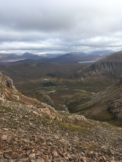
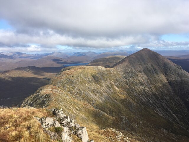
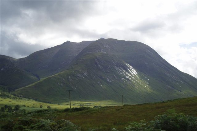
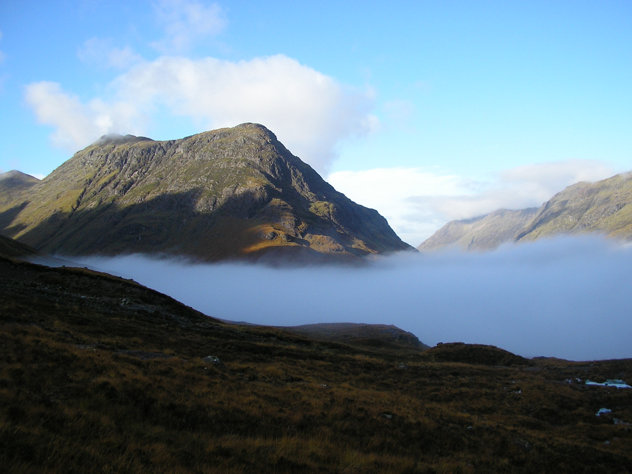
Royal Forest in Argyllshire is a vast expanse of land characterized by its diverse landscape of downs and moorland. Located in the western region of Scotland, this area is known for its stunning natural beauty and rich biodiversity.
The downs of Royal Forest offer expansive views of the surrounding countryside, with rolling hills and lush greenery stretching as far as the eye can see. The moorland, on the other hand, is characterized by its rugged terrain, heather-covered slopes, and scattered patches of woodland.
This area is home to a variety of wildlife, including red deer, birds of prey, and numerous species of flora and fauna. Visitors to Royal Forest can enjoy activities such as hiking, birdwatching, and photography, while taking in the tranquil surroundings and fresh air.
The Royal Forest is also steeped in history, with ancient ruins and standing stones scattered throughout the landscape, providing a glimpse into the area's rich past. Overall, Royal Forest in Argyllshire is a truly unique and captivating destination for nature lovers and outdoor enthusiasts alike.
If you have any feedback on the listing, please let us know in the comments section below.
Royal Forest Images
Images are sourced within 2km of 56.640621/-4.9125769 or Grid Reference NN2153. Thanks to Geograph Open Source API. All images are credited.


Royal Forest is located at Grid Ref: NN2153 (Lat: 56.640621, Lng: -4.9125769)
Unitary Authority: Highland
Police Authority: Highlands and Islands
What 3 Words
///research.explains.shredder. Near Glencoe, Highland
Nearby Locations
Related Wikis

2009 Buachaille Etive Mòr avalanche
The 2009 Buachaille Etive Mòr avalanche happened on Buachaille Etive Mòr in Glen Coe in the Scottish Highlands, UK, on 24 January 2009. Three mountain...
Buachaille Etive Mòr
Buachaille Etive Mòr (), Scottish Gaelic: Buachaille Èite Mòr, 'great herdsman of Etive'), also known simply in English as 'The Buachaille', is a mountain...
Beinn Mhic Chasgaig
Beinn Mhic Chasgaig (864 m) is a mountain in the Grampian Mountains of Scotland. It lies near the head of Glen Etive in Highland. A steep and craggy peak...
Buachaille Etive Beag
Buachaille Etive Beag (, Scottish Gaelic: Buachaille Èite Beag, 'little herdsman of Etive') is a mountain between Glen Coe and Glen Etive in the Highlands...
Nearby Amenities
Located within 500m of 56.640621,-4.9125769Have you been to Royal Forest?
Leave your review of Royal Forest below (or comments, questions and feedback).