Kirksteads Plantation
Downs, Moorland in Ayrshire
Scotland
Kirksteads Plantation

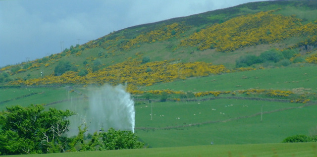
Kirksteads Plantation is a picturesque woodland area situated in Ayrshire, Scotland. Covering an extensive area, it is located on the Downs, a rolling landscape characterized by moorland and hills. The plantation is known for its diverse range of plant species and offers a tranquil escape for nature enthusiasts and hikers alike.
The woodland is predominantly composed of native tree species, such as oak, beech, and birch, creating a rich and vibrant ecosystem. The dense canopy provides ample shade, making it an ideal habitat for a variety of wildlife, including birds, mammals, and insects. Birdwatchers can spot species such as woodpeckers, owls, and finches, while red squirrels and roe deer can also be observed within the plantation.
Trails wind through the plantation, offering visitors the opportunity to explore its scenic beauty. The pathways are well-maintained and suitable for walkers of all abilities. Along the way, there are informative signposts that provide interesting facts about the local flora and fauna, adding an educational aspect to the experience.
Kirksteads Plantation is a popular destination for outdoor activities, such as picnicking, birdwatching, and nature photography. The peaceful atmosphere and stunning natural surroundings make it an ideal location for relaxation and mindfulness. Visitors can also enjoy panoramic views of the surrounding moorland and hills, adding to the overall charm of this enchanting woodland area.
Overall, Kirksteads Plantation in Ayrshire offers a delightful escape into nature, where visitors can immerse themselves in the beauty of the Scottish countryside.
If you have any feedback on the listing, please let us know in the comments section below.
Kirksteads Plantation Images
Images are sourced within 2km of 55.722956/-4.8449243 or Grid Reference NS2151. Thanks to Geograph Open Source API. All images are credited.


Kirksteads Plantation is located at Grid Ref: NS2151 (Lat: 55.722956, Lng: -4.8449243)
Unitary Authority: North Ayrshire
Police Authority: Ayrshire
What 3 Words
///puzzle.donor.represent. Near West Kilbride, North Ayrshire
Nearby Locations
Related Wikis
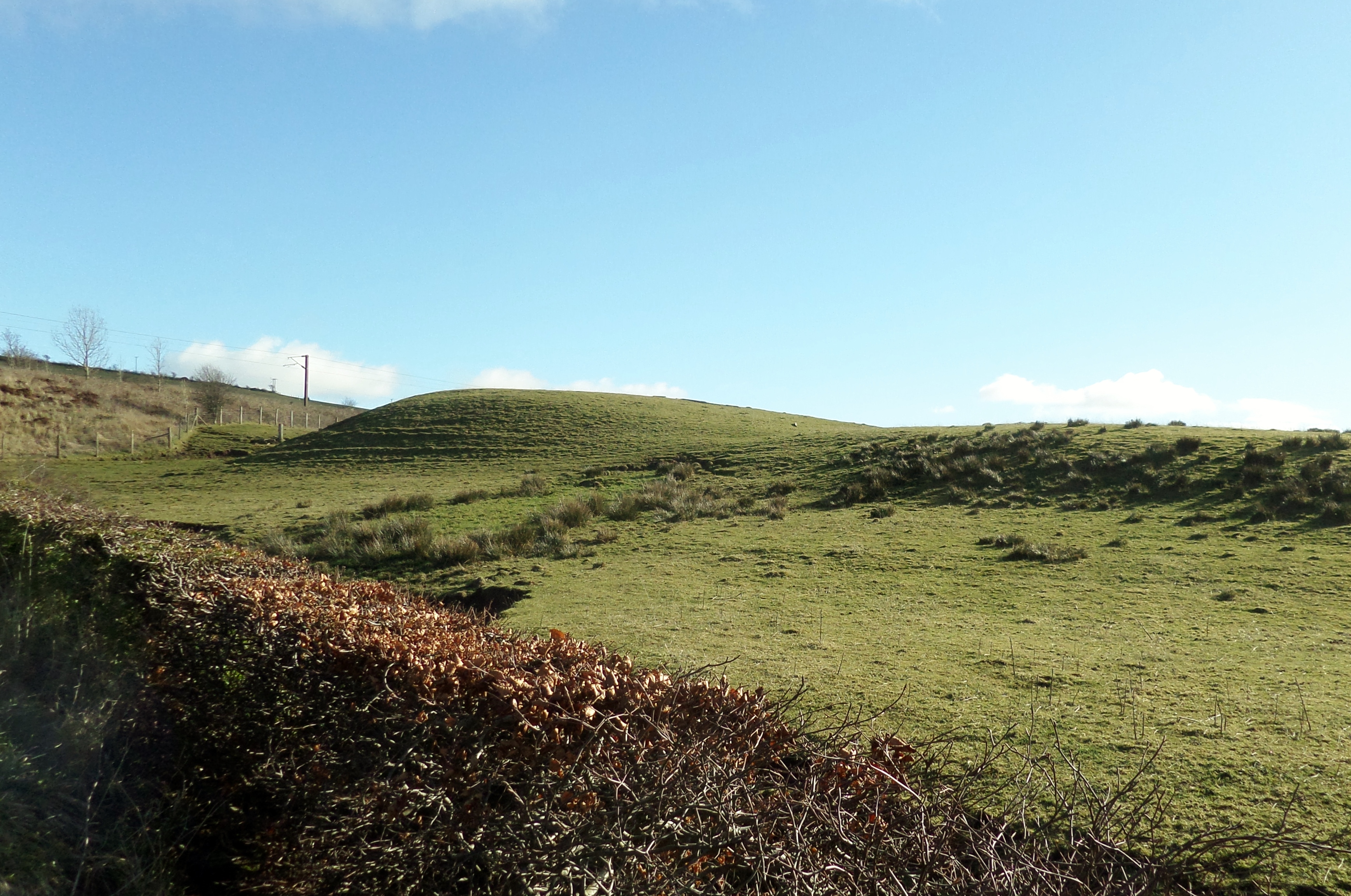
Castle Knowe, Kilruskin
The Castle Knowe (NS20365081), is a prominent mound located slightly to the west of North Kilruskin Farm on the Kilruskin Toll Road, West Kilbride, North...

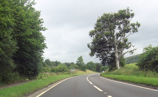
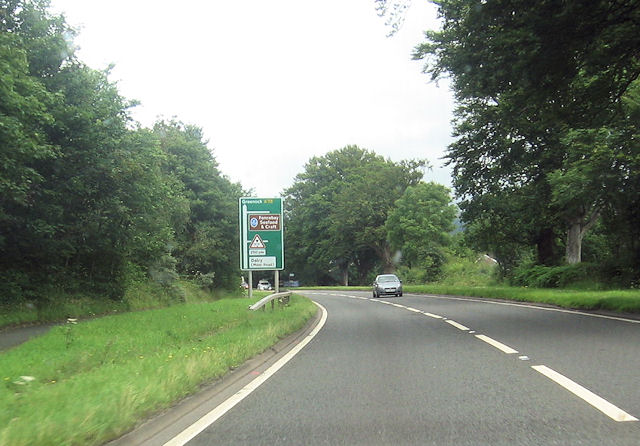
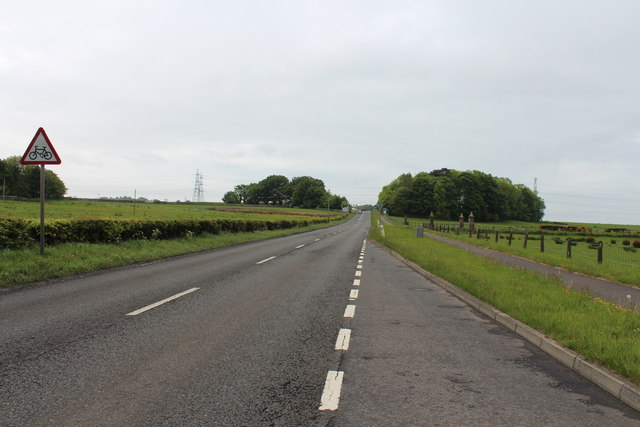
A78 road
The A78 is an A road in Scotland. It connects Greenock and Prestwick on a route which follows the northern section of the Ayrshire coast. == Route... ==
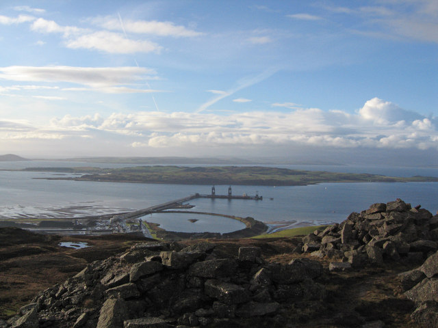
Hunterston Terminal
Hunterston Terminal, in North Ayrshire, Scotland, was an iron ore and coal-handling port located at Fairlie on the Firth of Clyde, operated by Clydeport...

Hunterston
Hunterston, by the Firth of Clyde, is a coastal area in Ayrshire, Scotland. It is the seat and estate of the Hunter family. As an area of flat land adjacent...
Nearby Amenities
Located within 500m of 55.722956,-4.8449243Have you been to Kirksteads Plantation?
Leave your review of Kirksteads Plantation below (or comments, questions and feedback).