Biglees Hill

Hill, Mountain in Ayrshire

Scotland

Biglees Hill

Thar she blows What appears to be a burst water main by the railway line, near the coal loading depot at Hunterston. Viewed from the A78 at Portencross.
Thar she blows Credit: Thomas Nugent

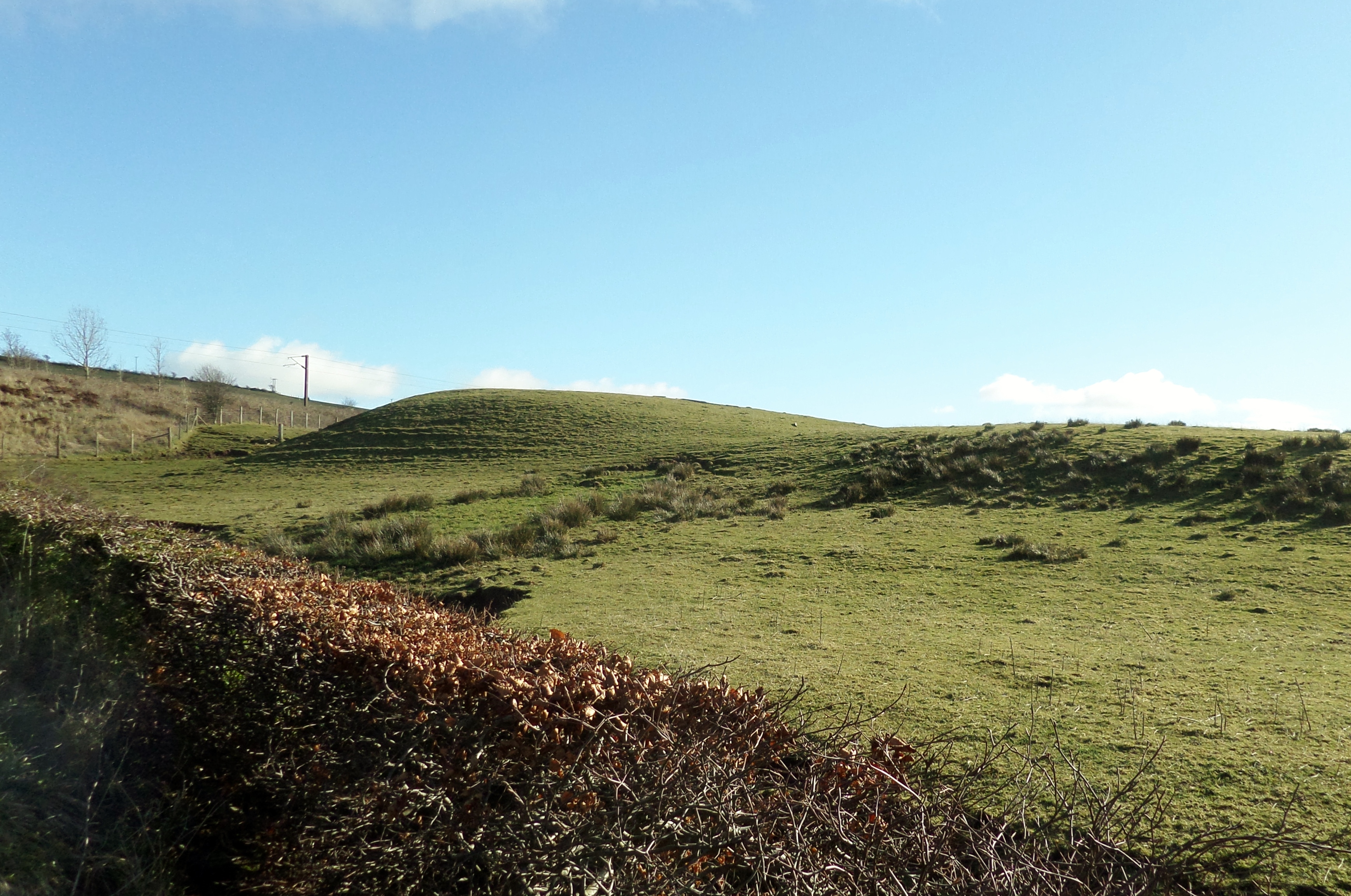
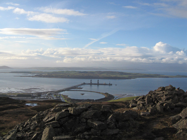
Biglees Hill is a prominent geographical feature located in Ayrshire, Scotland. Rising to an elevation of approximately 309 meters (1,014 feet), it is classified as a hill rather than a mountain. Situated in the southern part of Ayrshire, Biglees Hill offers breathtaking views and is a popular destination for outdoor enthusiasts and nature lovers.

The hill is characterized by its gentle slopes and lush greenery, with a diverse range of plant species that thrive in the fertile soil. It is predominantly covered in grass, heather, and scattered shrubs, creating a picturesque landscape. The terrain is relatively easy to navigate, making it accessible to hikers and walkers of various abilities.

At the summit of Biglees Hill, visitors are rewarded with panoramic views of the surrounding countryside, including the nearby towns of Irvine and Troon, the Firth of Clyde, and even the Isle of Arran on clear days. This vantage point offers a serene and tranquil atmosphere, providing a perfect escape from the hustle and bustle of daily life.

Due to its location and natural beauty, Biglees Hill also attracts a wide variety of wildlife. Birdwatchers can spot various species of birds, such as kestrels, buzzards, and pheasants, soaring through the skies or perched on branches. Rabbits, foxes, and deer are known to inhabit the surrounding areas, adding to the area's biodiversity.

Overall, Biglees Hill in Ayrshire is a captivating destination that combines stunning views, peaceful surroundings, and an opportunity to immerse oneself in Scotland's natural beauty.

If you have any feedback on the listing, please let us know in the comments section below.

Biglees Hill Images

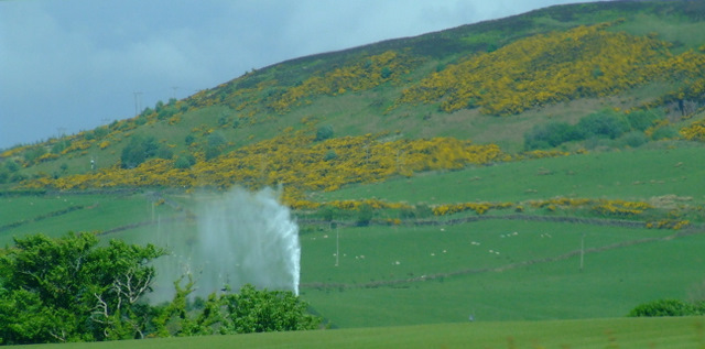
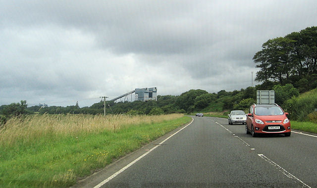
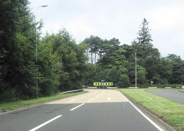
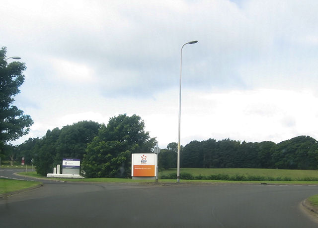
Images are sourced within 2km of 55.727475/-4.85043 or Grid Reference NS2151. Thanks to Geograph Open Source API. All images are credited.

Thar she blows What appears to be a burst water main by the railway line, near the coal loading depot at Hunterston. Viewed from the A78 at Portencross.
Thar she blows
What appears to be a burst water main by the railway line, near the coal loading depot at Hunterston. Viewed from the A78 at Portencross.
Thar she blows What appears to be a burst water main by the railway line, near the coal loading depot at Hunterston.
Thar she blows
What appears to be a burst water main by the railway line, near the coal loading depot at Hunterston.
A78 near Kilruskin turning Tourists signs ahead for roundabout
A78 near Kilruskin turning
Tourists signs ahead for roundabout
A78 approaching Hunterston roundabout
Hunterston roundabout
Hunterston Power station entrance from roundabout
A78 north from Hunterston roundabout
Approaching Dalry road junction from A78
Southannan roundabout on A78
Road to Fairlie
Road to Fairlie
Farmland near Millstonford
South Kilruskin Farm Bridge
The conveyor belt from Hunterston Ore Terminal
Fairlie Moor Glen Burn Waterfall
Fairlie Moor
Glen Burn Waterfall
Biglees Quarry Top of Biglees Quarry looking towards Hunterston Power Station,Little Cumbrae Island and Isle Of Arran.
Biglees Quarry
Top of Biglees Quarry looking towards Hunterston Power Station,Little Cumbrae Island and Isle Of Arran.
Glen Burn Waterfall This waterfall is in a lovely quiet spot just off (Right Side) the Dalry Moor road on the way to the Glenburn Fishery. Well worthy of a picnic on a nice day
Glen Burn Waterfall
This waterfall is in a lovely quiet spot just off (Right Side) the Dalry Moor road on the way to the Glenburn Fishery. Well worthy of a picnic on a nice day
Show me another place!

Biglees Hill is located at Grid Ref: NS2151 (Lat: 55.727475, Lng: -4.85043)

Unitary Authority: North Ayrshire

Police Authority: Ayrshire

What 3 Words

///thinker.trespass.afternoon. Near Fairlie, North Ayrshire

Related Wikis

Castle Knowe, Kilruskin

The Castle Knowe (NS20365081), is a prominent mound located slightly to the west of North Kilruskin Farm on the Kilruskin Toll Road, West Kilbride, North...

Hunterston Terminal

Hunterston Terminal, in North Ayrshire, Scotland, was an iron ore and coal-handling port located at Fairlie on the Firth of Clyde, operated by Clydeport...
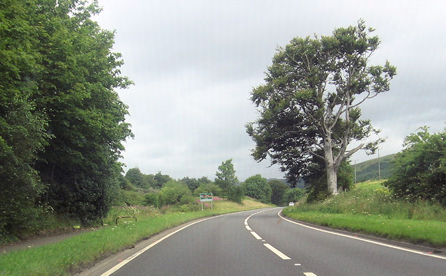
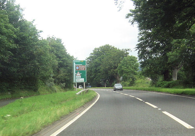
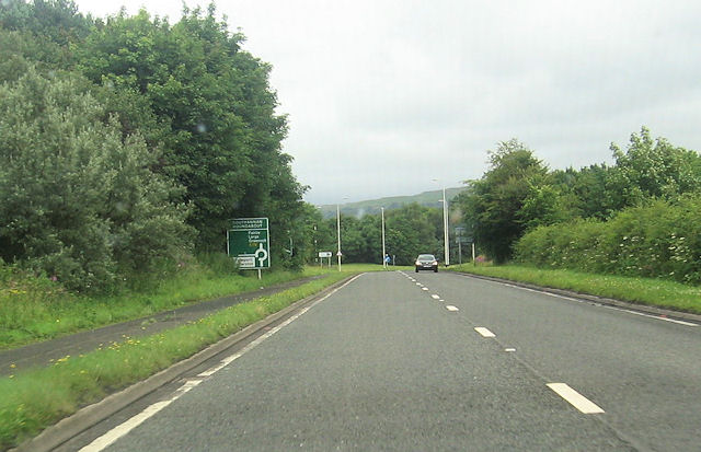
A78 road

The A78 is an A road in Scotland. It connects Greenock and Prestwick on a route which follows the northern section of the Ayrshire coast. == Route... ==

Hunterston

Hunterston, by the Firth of Clyde, is a coastal area in Ayrshire, Scotland. It is the seat and estate of the Hunter family. As an area of flat land adjacent...

Nearby Amenities

Located within 500m of 55.727475,-4.85043
Power: pole
Lat/Long: 55.7317273/-4.85291
Power: pole
Lat/Long: 55.7310039/-4.8530399
Power: pole
Lat/Long: 55.7275604/-4.8556059
Power: pole
Lat/Long: 55.7304931/-4.8531124
Power: pole
Lat/Long: 55.7268917/-4.8558309
Power: pole
Lat/Long: 55.7299277/-4.8532258
Power: pole
Lat/Long: 55.7261762/-4.8560888
Power: pole
Lat/Long: 55.7294516/-4.8536995
Power: pole
Lat/Long: 55.7253292/-4.8558961
Power: pole
Lat/Long: 55.7288118/-4.854384
Power: pole
Lat/Long: 55.7245204/-4.8557152
Power: pole
Lat/Long: 55.7282557/-4.8549372
Biglees Hill
Natural: peak
Lat/Long: 55.7275221/-4.8508018
Biglees Waterfall
Source: survey
Waterway: waterfall
Lat/Long: 55.7315971/-4.8535925
Power: pole
Lat/Long: 55.7243114/-4.855303
Power: pole
Lat/Long: 55.7250294/-4.8555259
Power: pole
Lat/Long: 55.7257227/-4.8557905
Power: pole
Lat/Long: 55.7261427/-4.8559321
Power: pole
Lat/Long: 55.7267973/-4.8561571
Power: pole
Lat/Long: 55.7275821/-4.8560134
Power: pole
Lat/Long: 55.7283282/-4.8558863
Power: pole
Lat/Long: 55.7289922/-4.8558113
Power: pole
Lat/Long: 55.729689/-4.8557259
Power: pole
Lat/Long: 55.730313/-4.8556321
Power: pole
Lat/Long: 55.7309253/-4.8555301
Waste Basket
Lat/Long: 55.7252816/-4.8524769
Ford: yes
Lat/Long: 55.7315374/-4.8534876
The data included in this document is from www.openstreetmap.org. The data is made available under ODbL.

Have you been to Biglees Hill?

Leave your review of Biglees Hill below (or comments, questions and feedback).