Bury Down
Downs, Moorland in Cornwall
England
Bury Down
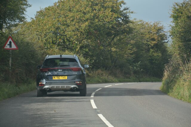
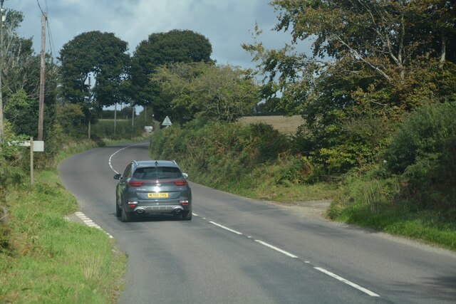
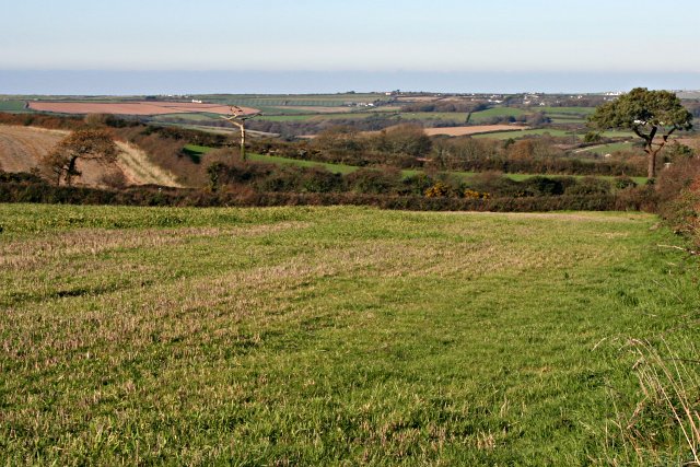
Bury Down is a picturesque area located in Cornwall, England. It is characterized by its rolling hills, vast moorland, and breathtaking views. Situated in the southern region of Cornwall, Bury Down is part of the wider expanse known as the Downs.
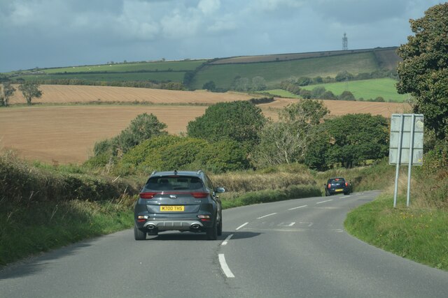
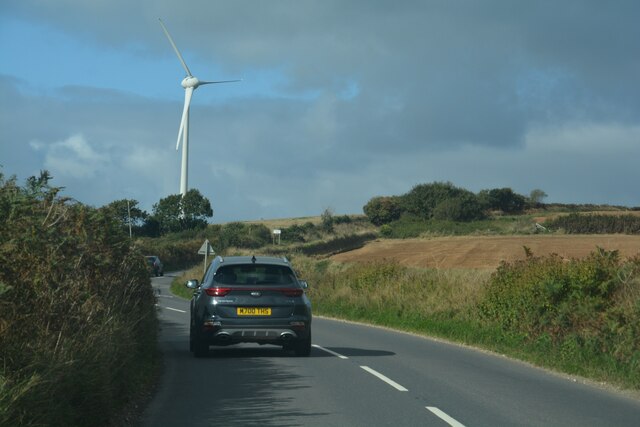
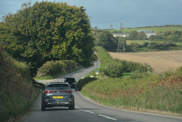
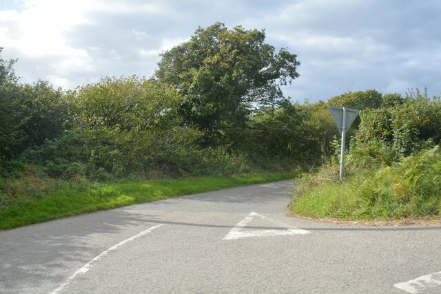
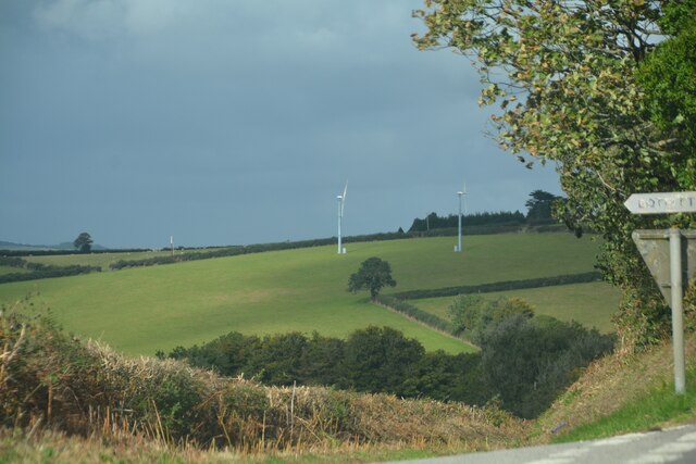
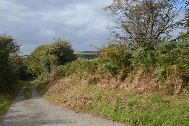
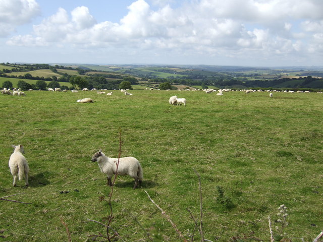
The landscape of Bury Down is primarily composed of gentle slopes covered in lush green grass. These hills create a stunning backdrop against the clear blue skies of Cornwall. The area is sparsely populated, allowing for a peaceful and tranquil atmosphere that attracts visitors seeking a retreat from the bustling cities.
Bury Down is particularly known for its moorland, which stretches across a significant portion of the area. Moorland is characterized by its wet and marshy terrain, often dotted with heather and bracken. This unique landscape is home to a variety of flora and fauna, including rare bird species and wild ponies that roam freely.
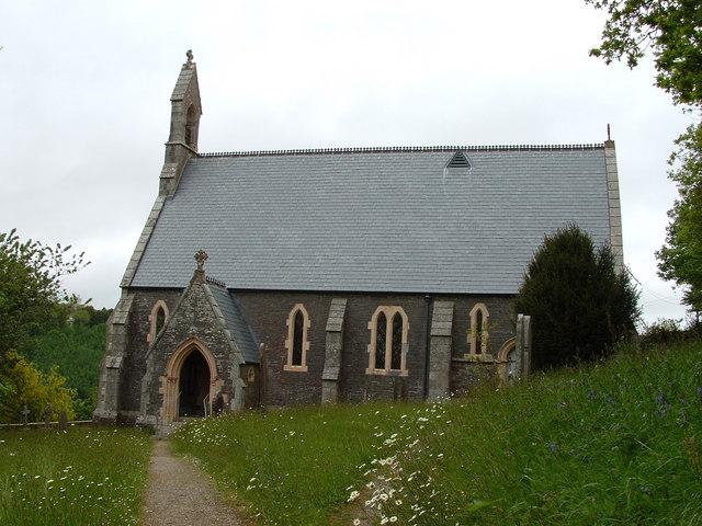
The area is also rich in history, with traces of Bronze Age settlements and ancient burial mounds scattered across the downs. These cultural remnants serve as a reminder of the deep-rooted heritage of Cornwall.
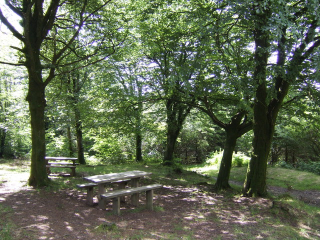
Bury Down is a popular destination for outdoor enthusiasts, offering countless opportunities for hiking, horseback riding, and birdwatching. The breathtaking views and untouched natural beauty make it an ideal location for photographers and nature lovers alike.
In conclusion, Bury Down in Cornwall is a captivating blend of rolling downs, expansive moorland, and rich history. Its peaceful ambiance and stunning vistas make it a must-visit destination for those seeking an escape into nature.
If you have any feedback on the listing, please let us know in the comments section below.
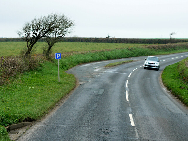
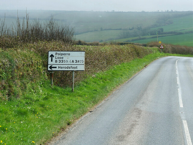
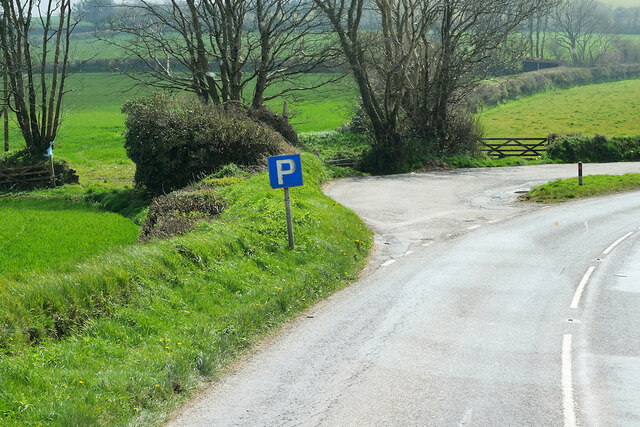
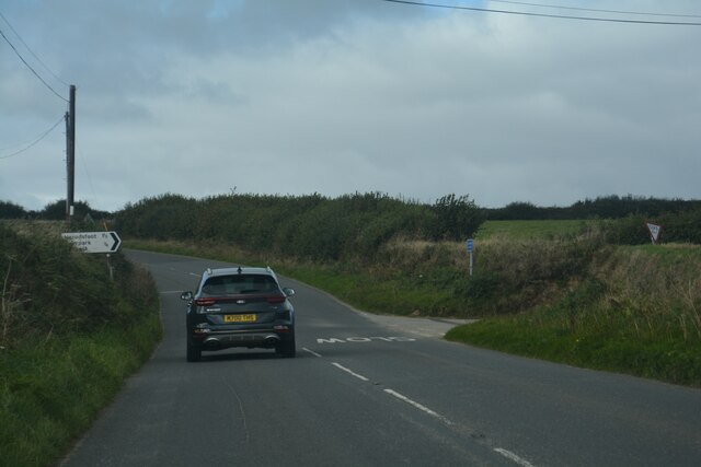
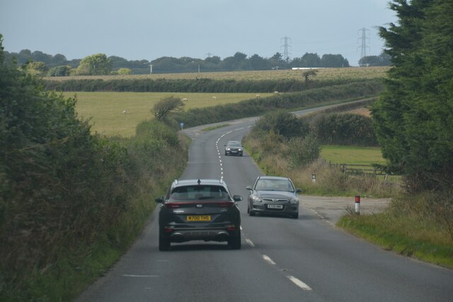
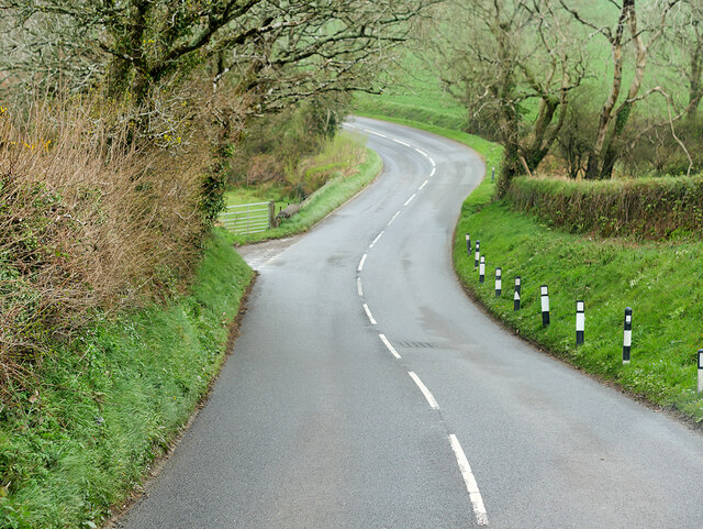
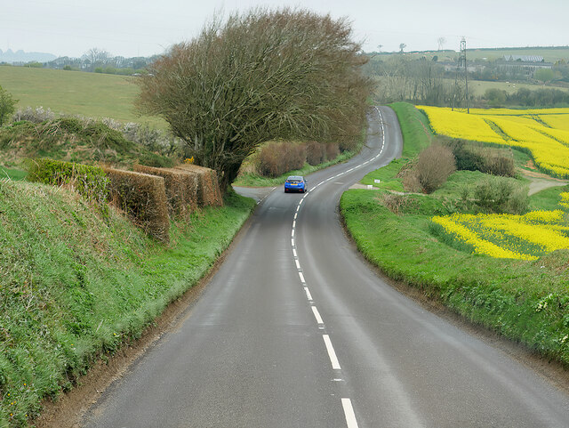
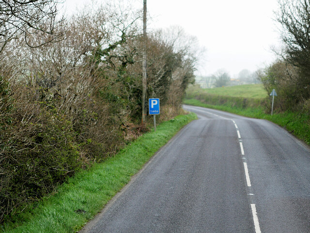
Bury Down Images
Images are sourced within 2km of 50.405262/-4.5471269 or Grid Reference SX1959. Thanks to Geograph Open Source API. All images are credited.
Bury Down is located at Grid Ref: SX1959 (Lat: 50.405262, Lng: -4.5471269)
Unitary Authority: Cornwall
Police Authority: Devon and Cornwall
What 3 Words
///absent.secures.talker. Near Duloe, Cornwall
Related Wikis

Bocaddon
Bocaddon (Cornish: Boskadwen) is a hamlet in Cornwall, England, UK. It is in the civil parish of Lanreath and is half-a-mile north of Lanreath village...
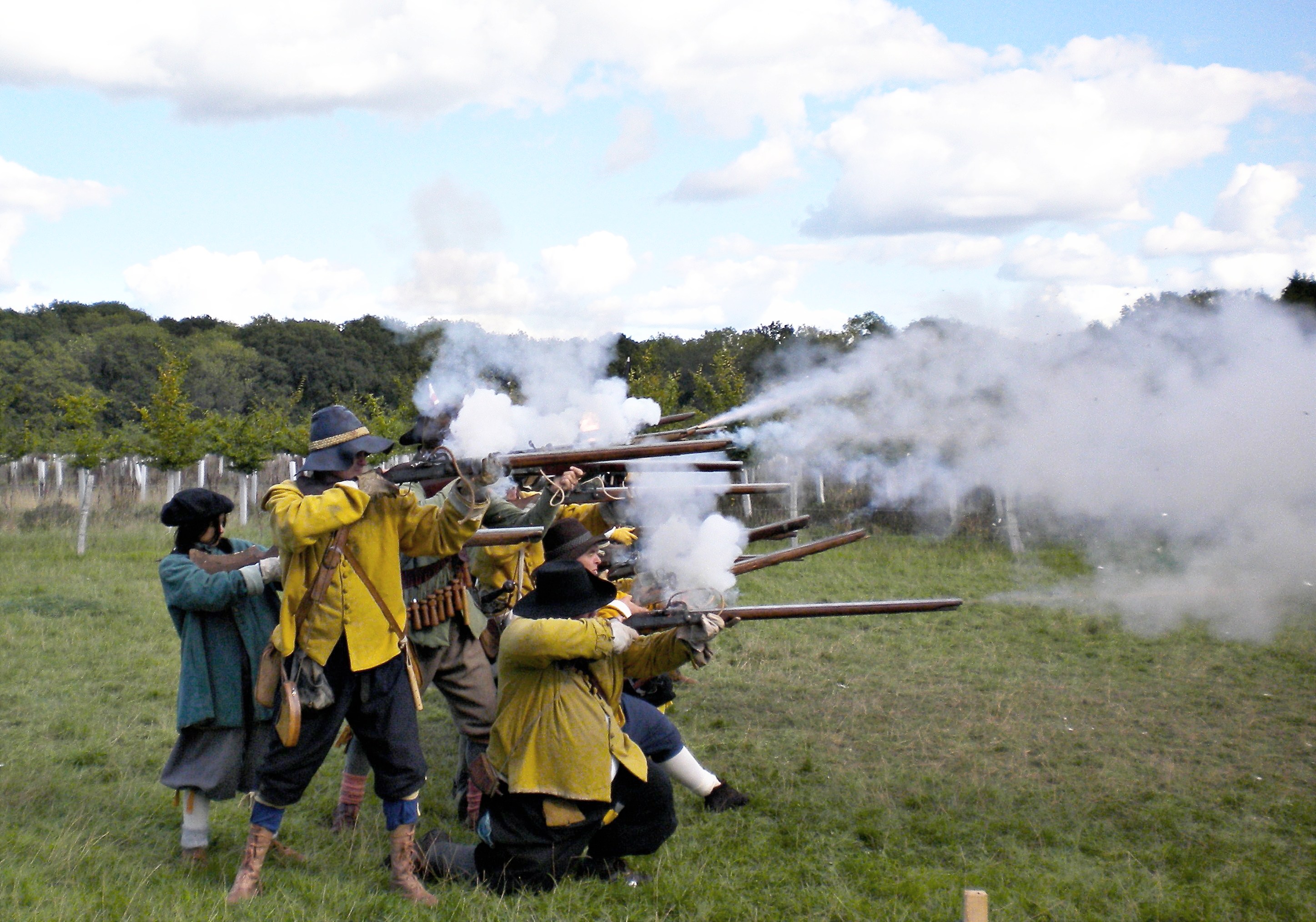
Battle of Braddock Down
The Battle of Braddock Down was a battle of the south-western campaign of the First English Civil War. It was fought on open ground in Cornwall, on 19...

South East Cornwall (UK Parliament constituency)
South East Cornwall is a constituency represented in the House of Commons of the UK Parliament since 2010 by Sheryll Murray, a Conservative. == Boundaries... ==
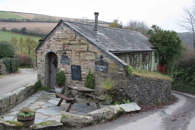
Trefanny Hill
Trefanny Hill is a hamlet in the parish of Duloe, Cornwall, England, United Kingdom. The hamlet was formerly called Hille or Hill.None of the men from...

Lanreath
Lanreath (Cornish: Lannreydhow) is a civil parish and a village in southeast Cornwall, England, United Kingdom. The village is situated five miles (8 km...
Herodsfoot
Herodsfoot (Cornish: Nanshiryarth) is a village in southeast Cornwall, England, United Kingdom. It is situated approximately four miles (6 km) southwest...

Churchbridge, Cornwall
Churchbridge is a hamlet in Cornwall, England. It is a mile west of Duloe, and is situated on the West Looe River. Both banks of the river are wooded,...
Tresawson
Tresawson is a farm in the parish of Lanreath, Cornwall, England, UK. There are two other places with similar names: Tresawsan in the parish of Merther...
Nearby Amenities
Located within 500m of 50.405262,-4.5471269Have you been to Bury Down?
Leave your review of Bury Down below (or comments, questions and feedback).