Mirren's Croft

Downs, Moorland in Wigtownshire

Scotland

Mirren's Croft

Old Milestone, Gabsnout On the NE verge of an u/c road north of Gabsnpout. The destinations are New Luce and Glenluce. Rivet BM representing 30.6 m ASL.

Inscription: N / 2 // G / 3

Milestone Society National ID: DG_NLGL02
Old Milestone, Gabsnout Credit: Alan Wake

Mirren's Croft is a picturesque area located in Wigtownshire, a historic county in southwest Scotland. Situated amidst rolling downs and moorland, it offers stunning natural beauty and a tranquil atmosphere. The croft is named after Mirren, a legendary figure who was believed to have lived in the area centuries ago.

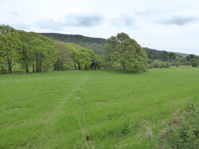
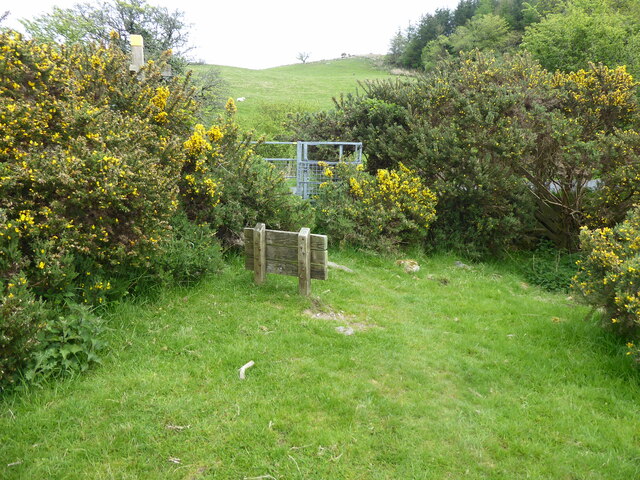
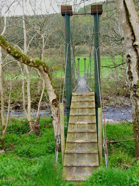
Covering a vast expanse of land, Mirren's Croft is characterized by its undulating terrain, with gentle slopes and patches of heather-covered moorland. The downs provide sweeping views of the surrounding countryside, with vibrant green fields and scattered clusters of trees. The landscape is dotted with small streams that meander through the terrain, adding to the charm of the area.

The croft is home to a variety of flora and fauna, making it an ideal destination for nature enthusiasts. The moorland is covered in heather, which blooms with vibrant purple hues during the summer months, creating a breathtaking spectacle. The downs are rich in grasses and wildflowers, attracting a wide range of bird species and small mammals.

Visitors to Mirren's Croft can enjoy leisurely walks and hikes, taking in the stunning vistas and immersing themselves in the tranquility of the surroundings. The area is also popular among birdwatchers, who flock to witness the diverse avian population that calls the croft home.

Overall, Mirren's Croft in Wigtownshire is a haven of natural beauty, offering a peaceful retreat for those seeking to connect with nature and soak in the scenic splendor of Scotland's downs and moorland.

If you have any feedback on the listing, please let us know in the comments section below.

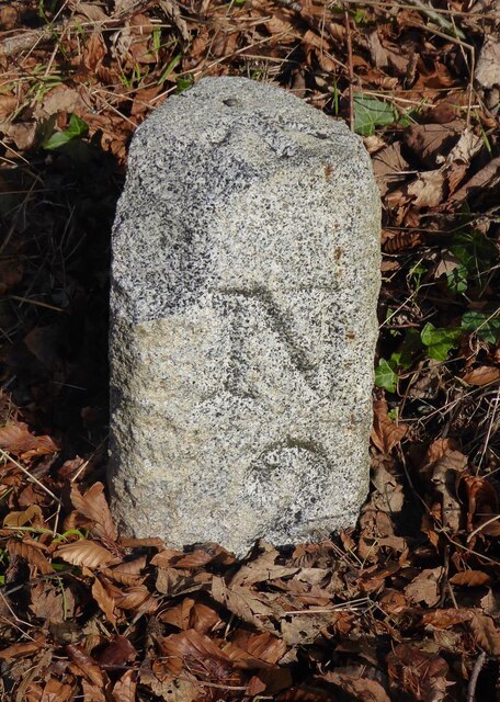
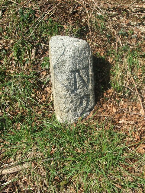
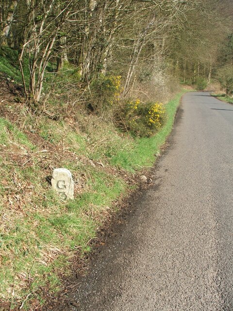
Mirren's Croft Images

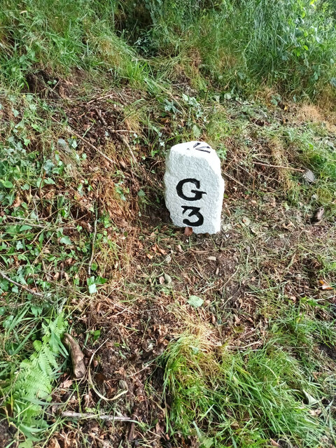
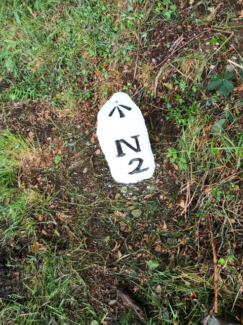
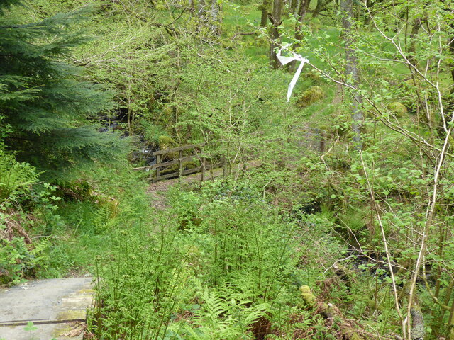
Images are sourced within 2km of 54.920234/-4.8239871 or Grid Reference NX1962. Thanks to Geograph Open Source API. All images are credited.

Old Milestone, Gabsnout On the NE verge of an u/c road north of Gabsnpout. The destinations are New Luce and Glenluce. Rivet BM representing 30.6 m ASL.

Inscription: N / 2 // G / 3

Milestone Society National ID: DG_NLGL02
Old Milestone, Gabsnout
On the NE verge of an u/c road north of Gabsnpout. The destinations are New Luce and Glenluce. Rivet BM representing 30.6 m ASL. Inscription: N / 2 // G / 3 Milestone Society National ID: DG_NLGL02
Old milestone The 3 miles from Glenluce milestone is between Gabsnout and Galdenoch.   It is on the banking opposite and between TP3 and TP2.  The pin and cut benchmark can be seen on the top.
Old milestone
The 3 miles from Glenluce milestone is between Gabsnout and Galdenoch. It is on the banking opposite and between TP3 and TP2. The pin and cut benchmark can be seen on the top.
Old milestone Looking southwards towards Gabsnout, the milestone is seen close to the road on the edge of the sloping banking.  It has sustained some damage to its top front.
Old milestone
Looking southwards towards Gabsnout, the milestone is seen close to the road on the edge of the sloping banking. It has sustained some damage to its top front.
Old milestone Facing north the mileage to New Luce is seen.   On the OS map New Luce is written as two words.   Although it is 2 miles to New Luce this was the last milestone spotted before reaching the village.   There is an MS on the map north of Cruise but the stone is either missing or well hidden.
Old milestone
Facing north the mileage to New Luce is seen. On the OS map New Luce is written as two words. Although it is 2 miles to New Luce this was the last milestone spotted before reaching the village. There is an MS on the map north of Cruise but the stone is either missing or well hidden.
Old milestone This is the milestone between Galdenoch and Gabsnout on the UC road to Glenluce from New Luce.    It has been painted by a Milestone Society member since it was visited in April.   The cut benchmark and pin on the top have also been painted.   To reflect the milestones on three minor roads radiating from New Luce, the  Milestone Society ID has been changed from DG_GLNL03 to DG_NLGL02
Old milestone
This is the milestone between Galdenoch and Gabsnout on the UC road to Glenluce from New Luce. It has been painted by a Milestone Society member since it was visited in April. The cut benchmark and pin on the top have also been painted. To reflect the milestones on three minor roads radiating from New Luce, the Milestone Society ID has been changed from DG_GLNL03 to DG_NLGL02
Old milestone Two miles south of New Luce on the UC road to Glenluce, this shot of the newly painted milestone clearly shows the cut benchmark and pin.  Was DG_GLNL03 now DG_NLGL02.
Old milestone
Two miles south of New Luce on the UC road to Glenluce, this shot of the newly painted milestone clearly shows the cut benchmark and pin. Was DG_GLNL03 now DG_NLGL02.
The Southern Upland Way near Devil's Flesh Barrel
The Southern Upland Way near Airyolland Wood
The Southern Upland Way crossing Water of Luce
The Southern Upland Way near Cruise
The Southern Upland Way near Smithy Hill
The Southern Upland Way near Bennan Hill
The Southern Upland Way near Kilhern
The River Luce near Gabsnout Farm, Glenluce. The River Luce photographed from the road between Glenluce and New Luce on a November morning as the sun was breaking through the mist.
The River Luce near Gabsnout Farm, Glenluce.
The River Luce photographed from the road between Glenluce and New Luce on a November morning as the sun was breaking through the mist.
Suspension foot bridge over the Water of Luce
Galdenoch in the Luce valley
Show me another place!

Mirren's Croft is located at Grid Ref: NX1962 (Lat: 54.920234, Lng: -4.8239871)

Unitary Authority: Dumfries and Galloway

Police Authority: Dumfries and Galloway

What 3 Words

///rings.powers.bulge. Near Stranraer, Dumfries & Galloway

Related Wikis

Mid Gleniron

Mid Gleniron is a prehistoric site in Dumfries and Galloway used in the Neolithic and Bronze Age. The site is a scheduled ancient monument that comprises...

New Luce

New Luce (Scottish Gaelic: Baile Ùr Ghlinn Lus) is a civil parish in Dumfries and Galloway, south-west Scotland. It lies in the traditional county of Wigtownshire...

New Luce railway station

New Luce railway station served the village of New Luce, Dumfries and Galloway, Scotland from 1887 to 1965 on the Girvan and Portpatrick Junction Railway...

Glenluce Abbey

Glenluce Abbey, near to Glenluce, Scotland, was a Cistercian monastery called also Abbey of Luce or Vallis Lucis and founded around 1190 by Rolland or...

Have you been to Mirren's Croft?

Leave your review of Mirren's Croft below (or comments, questions and feedback).