Gillhouse Downs
Downs, Moorland in Cornwall
England
Gillhouse Downs
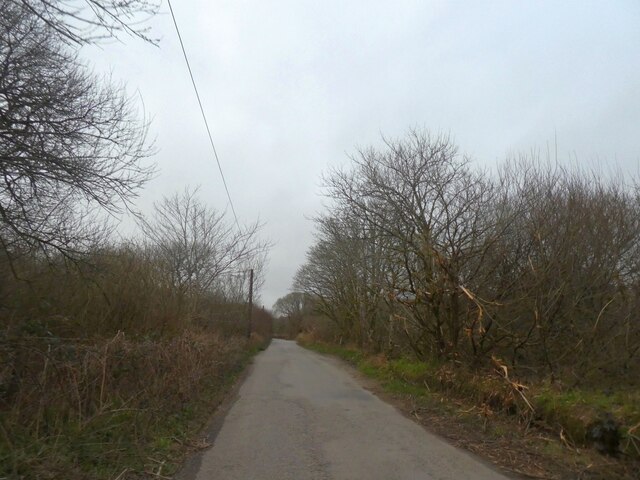
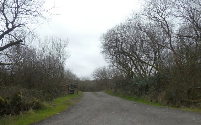
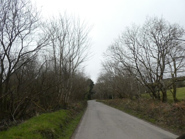
Gillhouse Downs is a picturesque area located in Cornwall, England. Known for its stunning natural beauty, it is a combination of downs and moorland, offering visitors a unique and diverse landscape to explore.
The downs of Gillhouse Downs are characterized by gently rolling hills covered in lush green grass and scattered with vibrant wildflowers. The open expanse of the downs provides breathtaking panoramic views of the surrounding countryside, making it a popular spot for nature enthusiasts and photographers alike.
Adjacent to the downs, the moorland of Gillhouse Downs adds another layer of beauty and intrigue to the area. With its rugged terrain and heather-covered hills, the moorland presents a more wild and untamed aspect of Cornwall's landscape. Visitors can wander through the moorland, discovering hidden streams, ancient stone circles, and remnants of the area's rich history.
Gillhouse Downs is also home to a diverse range of wildlife, making it a haven for nature lovers. Birdwatchers can spot a variety of species, including skylarks and buzzards, soaring through the skies. Additionally, the downs and moorland provide habitat for rare and protected species such as adders and lizards.
For those seeking outdoor activities, Gillhouse Downs offers ample opportunities for walking, hiking, and picnicking. The area is crisscrossed with footpaths and trails, allowing visitors to explore the landscape at their own pace.
In summary, Gillhouse Downs in Cornwall is a stunning combination of downs and moorland, offering breathtaking views, diverse wildlife, and a wealth of outdoor activities for visitors to enjoy.
If you have any feedback on the listing, please let us know in the comments section below.
Gillhouse Downs Images
Images are sourced within 2km of 50.536095/-4.5543122 or Grid Reference SX1973. Thanks to Geograph Open Source API. All images are credited.


Gillhouse Downs is located at Grid Ref: SX1973 (Lat: 50.536095, Lng: -4.5543122)
Unitary Authority: Cornwall
Police Authority: Devon and Cornwall
What 3 Words
///proofread.seasonal.mule. Near North Hill, Cornwall
Nearby Locations
Related Wikis

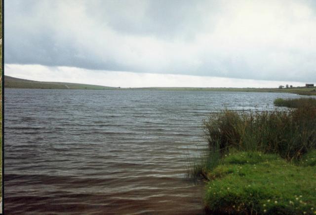
Dozmary Pool
Dozmary Pool is a small lake, in the civil parish of Altarnun on Bodmin Moor, Cornwall, UK. It is situated 16.9 kilometres (10.5 mi) from the sea and lies...

Brown Gelly
Brown Gelly (Cornish: Bronn Geliow) is a tor, hill and ridge near Dozmary Pool on Bodmin Moor near Liskeard in Cornwall, UK.At its foot lies Browngelly...

Colliford Lake
Colliford Lake is a reservoir on Bodmin Moor, Cornwall, England, United Kingdom. Covering more than 900 acres (3.6 km2), it is the largest lake in Cornwall...
Goodaver stone circle
Goodaver, Goodaver stone circle or Goodaver circle (grid reference SX20857515) is a stone circle located in the parish of Altarnun, near Bolventor on Bodmin...

Bolventor
Bolventor (Cornish: Bedhasbold) is a hamlet on Bodmin Moor in Cornwall, England, United Kingdom. It is situated in Altarnun civil parish between Launceston...
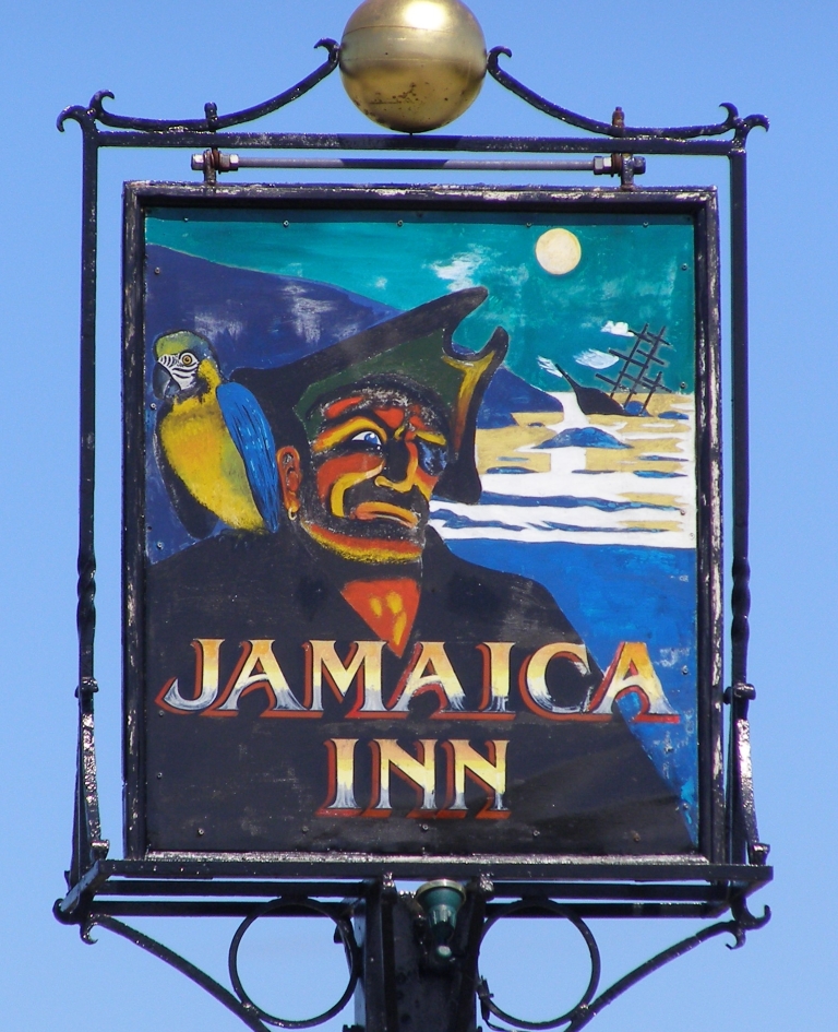
Jamaica Inn
The Jamaica Inn is a traditional inn on Bodmin Moor in Cornwall in the UK, which was built as a coaching inn in 1750, and has a historical association...
Palmersbridge
Palmersbridge is a hamlet on the A30 main road northeast of Bolventor in Cornwall, England, UK. == References ==

Cornwall Area of Outstanding Natural Beauty
The Cornwall Area of Outstanding Natural Beauty covers 958 square kilometres (370 sq mi) in Cornwall, England, UK; that is, about 27% of the total area...
Nearby Amenities
Located within 500m of 50.536095,-4.5543122Have you been to Gillhouse Downs?
Leave your review of Gillhouse Downs below (or comments, questions and feedback).