Colliford Downs
Downs, Moorland in Cornwall
England
Colliford Downs
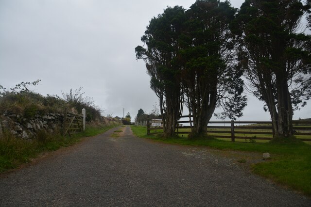
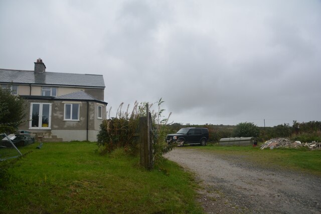
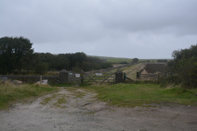
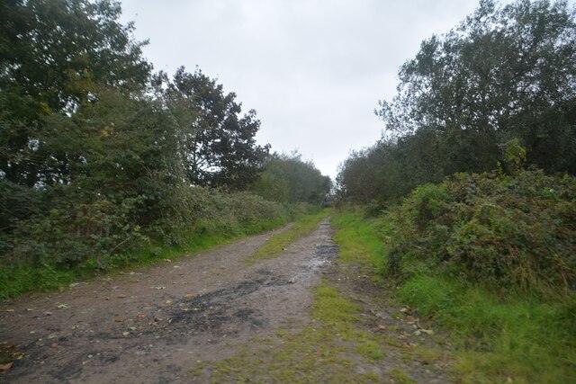
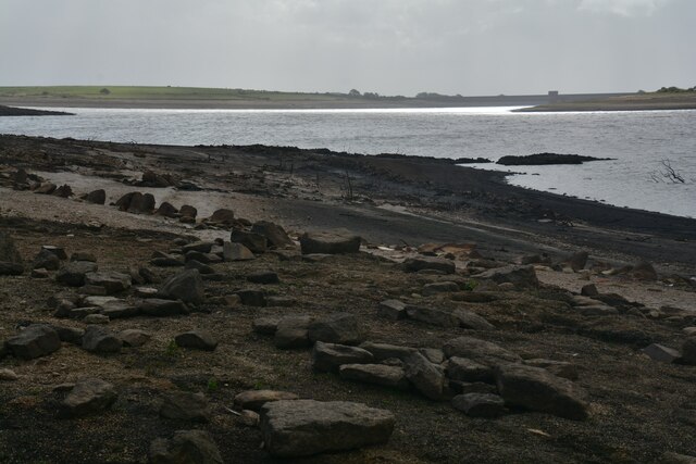
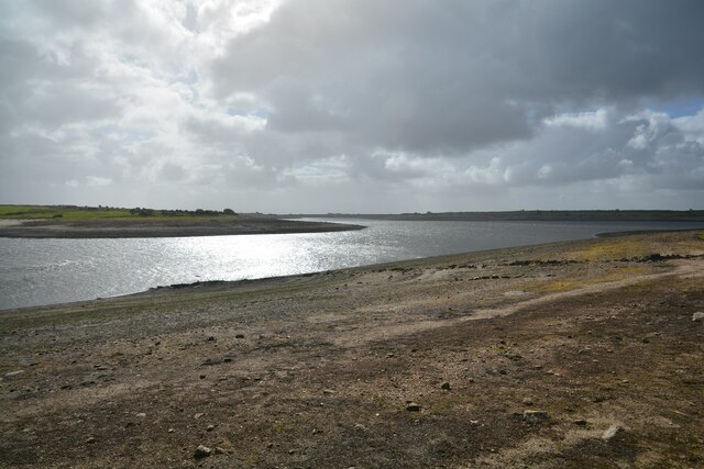
Colliford Downs is a vast expanse of moorland located in Cornwall, England. Covering an area of approximately 4,500 acres, it is one of the largest areas of unenclosed moorland in the county. Situated near the village of St Neot, the downs offer a unique and picturesque landscape that attracts nature enthusiasts, hikers, and birdwatchers alike.
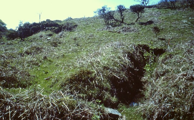
The moorland is characterized by its rolling hills, heather-covered slopes, and scattered granite outcrops. The area is home to a diverse range of flora and fauna, including rare species such as the native Dartmoor ponies, which can often be seen grazing on the downs. The open grassland provides an ideal habitat for various bird species, including skylarks, curlews, and buzzards, making it a popular spot for birdwatching.
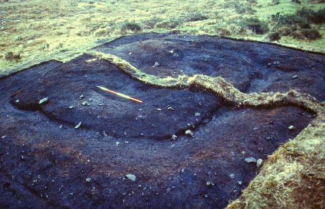
Colliford Downs is intersected by several footpaths and trails, allowing visitors to explore its natural beauty. The area is also crisscrossed by a network of ancient stone walls, remnants of the area's agricultural history. These walls add to the charm and character of the downs, providing a glimpse into the region's past.
Visitors to Colliford Downs can enjoy panoramic views of the surrounding countryside, with the rugged tors of Bodmin Moor visible in the distance. The tranquil atmosphere and stunning vistas make it an ideal place for walking, picnicking, or simply immersing oneself in the peacefulness of nature.
Overall, Colliford Downs is a captivating destination for those seeking to experience the beauty of Cornwall's moorland. Its unspoiled landscape, rich biodiversity, and historical significance make it a must-visit location for nature lovers and those interested in the region's cultural heritage.
If you have any feedback on the listing, please let us know in the comments section below.
Colliford Downs Images
Images are sourced within 2km of 50.51366/-4.5638355 or Grid Reference SX1871. Thanks to Geograph Open Source API. All images are credited.
Colliford Downs is located at Grid Ref: SX1871 (Lat: 50.51366, Lng: -4.5638355)
Unitary Authority: Cornwall
Police Authority: Devon and Cornwall
What 3 Words
///texts.shampoo.wool. Near Dobwalls, Cornwall
Nearby Locations
Related Wikis

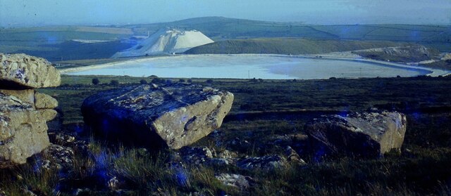
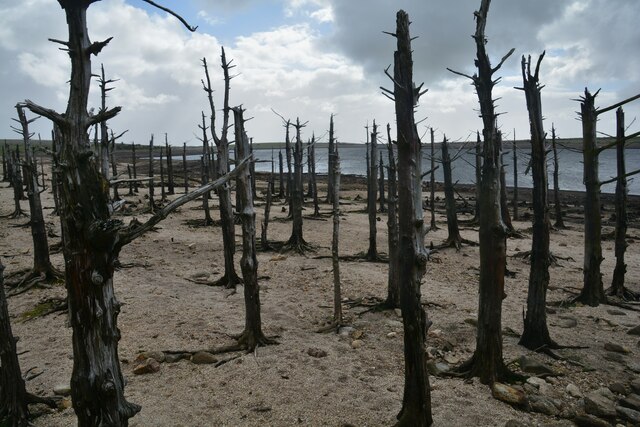
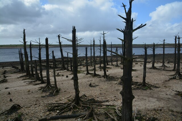
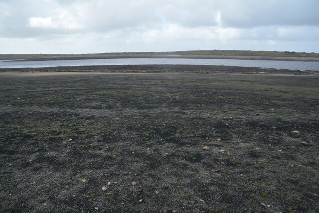
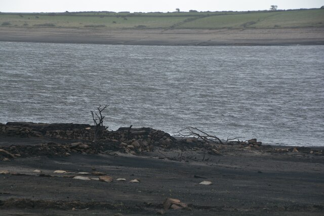
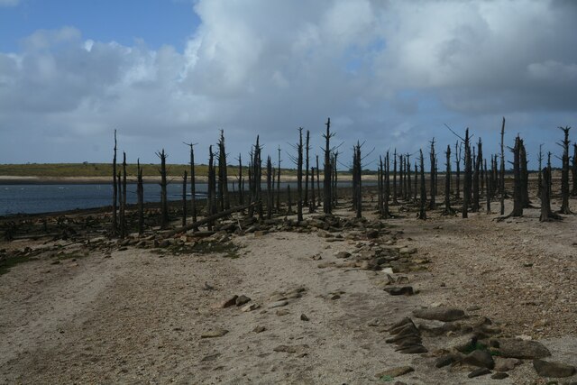
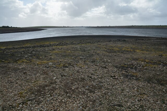
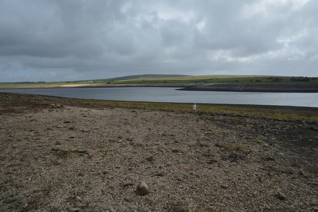
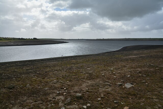
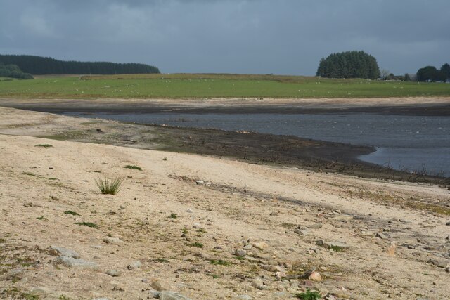
Colliford Lake
Colliford Lake is a reservoir on Bodmin Moor, Cornwall, England, United Kingdom. Covering more than 900 acres (3.6 km2), it is the largest lake in Cornwall...

Brown Gelly
Brown Gelly (Cornish: Bronn Geliow) is a tor, hill and ridge near Dozmary Pool on Bodmin Moor near Liskeard in Cornwall, UK.At its foot lies Browngelly...

Cornwall Area of Outstanding Natural Beauty
The Cornwall National Landscape (Cornwall Area of Outstanding Natural Beauty) covers 958 square kilometres (370 sq mi) in Cornwall, England, UK; that is...

Dozmary Pool
Dozmary Pool is a small lake, in the civil parish of Altarnun on Bodmin Moor, Cornwall, UK. It is situated 16.9 kilometres (10.5 mi) from the sea and lies...
Related Videos

Colliford Lake Hotel and Campsite Review August 2022
Review of Colliford lake camp site and facilities August 2022.

a relaxing Afternoon at Colliford lake Cornwall, with a cook up of sausages & eggs on the trangia 27
https://www.paypal.com/paypalme/LezleysTea.

Hidden Skeletons beneath Colliford Lake on Bodmin Moor.
In today's video I take the short drive across to Colliford Lake to try and capture an image I've been after for a long time. Following ...

2 year old girl blue Adventure in water
Playing /nature/walking/pet dog lover@ OURWAYS tv.
Nearby Amenities
Located within 500m of 50.51366,-4.5638355Have you been to Colliford Downs?
Leave your review of Colliford Downs below (or comments, questions and feedback).