East Monar Forest

Downs, Moorland in Ross-shire

Scotland

East Monar Forest

Loch Monar from path below Creag a' Chaobh
Loch Monar from path below Creag a' Chaobh Credit: Colin Park

The requested URL returned error: 429 Too Many Requests

If you have any feedback on the listing, please let us know in the comments section below.

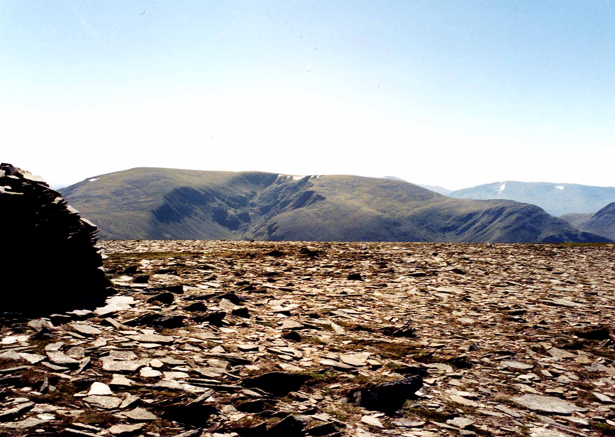
East Monar Forest Images

Images are sourced within 2km of 57.434633/-5.0286736 or Grid Reference NH1842. Thanks to Geograph Open Source API. All images are credited.

Loch Monar from path below Creag a' Chaobh
Footbridge below Sheep Pens, over Toll Breac Odhar, Loch Monar During wet periods, the water level of the loch comes almost up to the footbridge.
Footbridge below Sheep Pens, over Toll Breac Odhar, Loch Monar
During wet periods, the water level of the loch comes almost up to the footbridge.
East end of Loch Monar The path just enters the corner of this grid square.
East end of Loch Monar
The path just enters the corner of this grid square.
Camped above the Eastern end of Loch Monar Very peaceful. The only sound was that of several cuckoos - all night!
Camped above the Eastern end of Loch Monar
Very peaceful. The only sound was that of several cuckoos - all night!
Loch Monar from the slopes of Creag nan Uan
Bridge, Allt na Cois The path beside Loch Monar.
Bridge, Allt na Cois
The path beside Loch Monar.
Path beside Loch Monar With a fine view up Srath Mòr.  A path was constructed along the loch to compensate for the loss of the track up the glen due to the hydroelectric works.  There should also have been one beside Loch Mullardoch - Lungard but this was not built.
Path beside Loch Monar
With a fine view up Srath Mòr. A path was constructed along the loch to compensate for the loss of the track up the glen due to the hydroelectric works. There should also have been one beside Loch Mullardoch - Lungard but this was not built.
Clach a' Chomharraidh Rocky ground at the head of Glen Orrin.  Taken whilst descending An Sìdhean.
Clach a' Chomharraidh
Rocky ground at the head of Glen Orrin. Taken whilst descending An Sìdhean.
Slopes of Creag na h-Iolaire Looking up the glen on the east side of the hill towards Coire Domhain.
Slopes of Creag na h-Iolaire
Looking up the glen on the east side of the hill towards Coire Domhain.
Slopes below Glac Bhan Looking across Allt a' Choire Dhomhain to Innis Mhosach on Carn Eiteige.
Slopes below Glac Bhan
Looking across Allt a' Choire Dhomhain to Innis Mhosach on Carn Eiteige.
Eastern slopes of Meall Dubh na Caoidhe Looking along Druim Dubh.
Eastern slopes of Meall Dubh na Caoidhe
Looking along Druim Dubh.
Meall Dubh na Caoidh Some rocky outcrops on the eastern side of the hill.
Meall Dubh na Caoidh
Some rocky outcrops on the eastern side of the hill.
Coire Domhain Looking across Allt a' Choire Dhomhain to Carn Eiteige.
Coire Domhain
Looking across Allt a' Choire Dhomhain to Carn Eiteige.
Allt na h-Innse Mosaich A burn flowing down Innis Mhosach on the west side of Carn Eiteige.
Allt na h-Innse Mosaich
A burn flowing down Innis Mhosach on the west side of Carn Eiteige.
Stalkers' path below Meall Dubh na Caoidhe A good path going towards Druim Dubh.
Stalkers' path below Meall Dubh na Caoidhe
A good path going towards Druim Dubh.
Leacan Dubha South western slopes of Carn Eiteige.
Leacan Dubha
South western slopes of Carn Eiteige.
Gate on stalkers' path The path goes from Loch Monar up to Coire Domhain.
Gate on stalkers' path
The path goes from Loch Monar up to Coire Domhain.
Footbridge on Loch Monar path Crossing Allt a' Choire Dhomhain.
Footbridge on Loch Monar path
Crossing Allt a' Choire Dhomhain.
Show me another place!

East Monar Forest is located at Grid Ref: NH1842 (Lat: 57.434633, Lng: -5.0286736)

Unitary Authority: Highland

Police Authority: Highlands and Islands

What 3 Words

///farmed.pursue.ramp. Near Achnasheen, Highland

Related Wikis

Loch Monar

Loch Monar is a freshwater loch situated at the head of Glen Strathfarrar, in the West Highlands of Scotland. Since the 1960s, it has been dammed as part...

Maoile Lunndaidh

Maoile Lunndaidh or Maoil Lunndaidh is a Scottish mountain situated 13 km south of Achnasheen in the Ross and Cromarty district of the Highland council...

Northwest Highlands

The Northwest Highlands are located in the northern third of Scotland that is separated from the Grampian Mountains by the Great Glen (Glen More). The...

Highland (council area)

Highland (Scottish Gaelic: Gàidhealtachd, pronounced [ˈkɛːəl̪ˠt̪əxk]; Scots: Hieland) is a council area in the Scottish Highlands and is the largest local...

Have you been to East Monar Forest?

Leave your review of East Monar Forest below (or comments, questions and feedback).