Woodford Plantation
Downs, Moorland in Cornwall
England
Woodford Plantation
Woodford Plantation is a historical estate located in Cornwall, specifically in the area known as the Downs, Moorland. The plantation holds significant importance in the region due to its rich history and architectural significance.
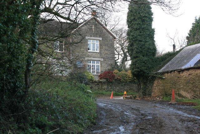
Built in the 18th century, Woodford Plantation is a prime example of Georgian architecture. The main house features a symmetrical design, with a central entrance flanked by two wings. The exterior is adorned with elegant sash windows and a grand portico, showcasing the wealth and prestige of its original owners.
Surrounding the main house are extensive gardens and landscaped grounds. The gardens are meticulously maintained, featuring manicured lawns, vibrant flower beds, and ornamental shrubs. A notable feature is the walled garden, which contains a variety of fruits and vegetables, reflecting the self-sufficiency of the estate during its prime.
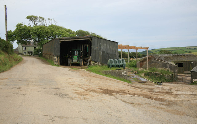
Woodford Plantation also boasts a range of outbuildings, including stables, a coach house, and a workers' cottage. These structures provide a glimpse into the daily workings of the estate during its active years.
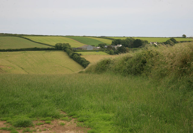
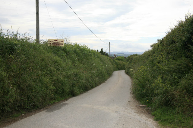
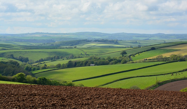
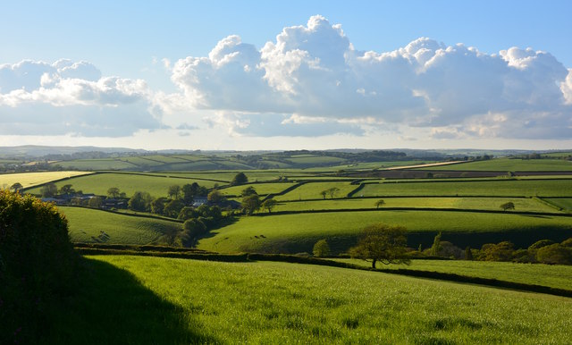
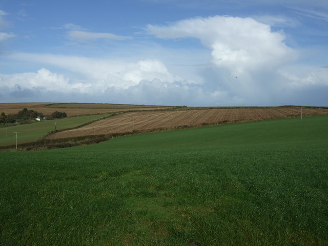
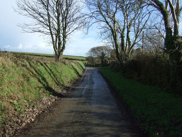
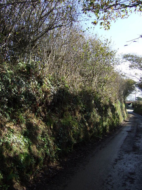
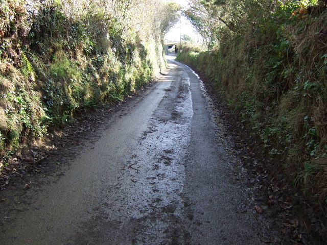
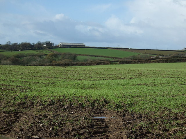
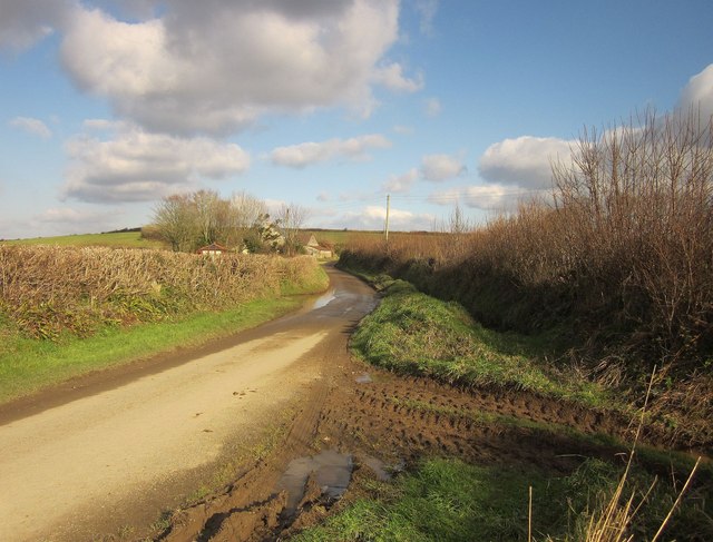
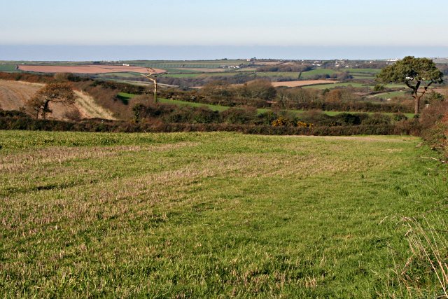
The plantation's location in the Downs, Moorland offers breathtaking views of the surrounding countryside. The rolling hills, lush greenery, and meandering streams create a picturesque setting, making it a popular destination for nature enthusiasts and history buffs alike.
Today, Woodford Plantation is open to the public for guided tours, providing visitors with an opportunity to explore its grandeur and learn about its storied past. The estate serves as a reminder of Cornwall's rich heritage and the significance of its agricultural and architectural history.
If you have any feedback on the listing, please let us know in the comments section below.
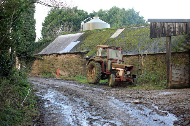
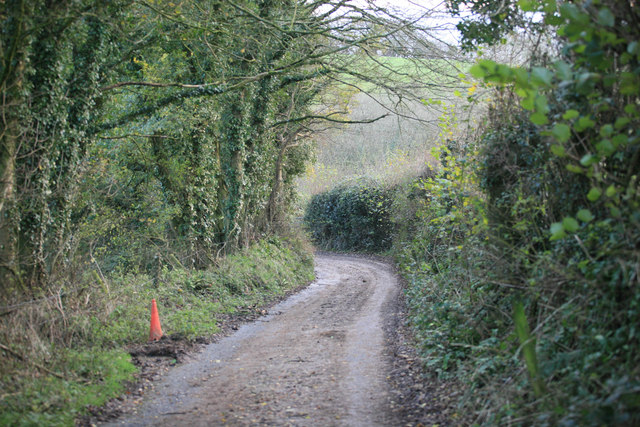
Woodford Plantation Images
Images are sourced within 2km of 50.359698/-4.5551471 or Grid Reference SX1854. Thanks to Geograph Open Source API. All images are credited.

Woodford Plantation is located at Grid Ref: SX1854 (Lat: 50.359698, Lng: -4.5551471)
Unitary Authority: Cornwall
Police Authority: Devon and Cornwall
What 3 Words
///colleague.opened.signature. Near Polperro, Cornwall
Nearby Locations
Related Wikis

Trenewan
Trenewan (Cornish: Trenewyen) is a hamlet in Cornwall, England, United Kingdom, about a mile north of Lansallos. == References ==

Pelynt
Pelynt (Cornish: Pluwnennys or Pluwnonna) is a civil parish and village in Cornwall, England, United Kingdom. It is 20 miles (32 km) west of Plymouth and...
Tresawson
Tresawson is a farm in the parish of Lanreath, Cornwall, England, UK. There are two other places with similar names: Tresawsan in the parish of Merther...
Windsor, Cornwall
Windsor is a hamlet in Cornwall, England, United Kingdom. It is located half-a-mile east of Lansallos village. == References ==
Nearby Amenities
Located within 500m of 50.359698,-4.5551471Have you been to Woodford Plantation?
Leave your review of Woodford Plantation below (or comments, questions and feedback).