Towyn Warren
Downs, Moorland in Cardiganshire
Wales
Towyn Warren
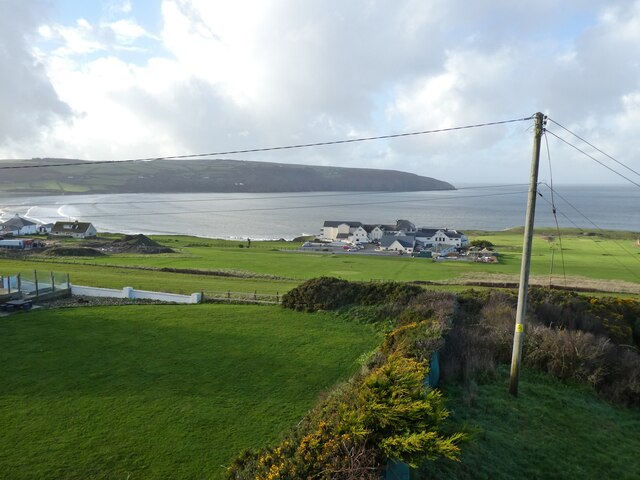
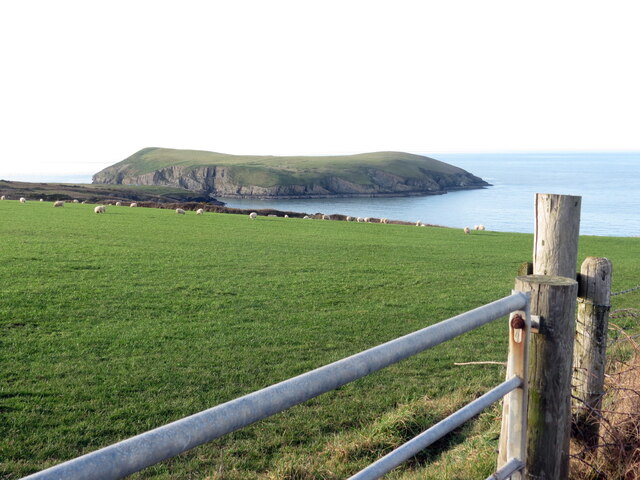
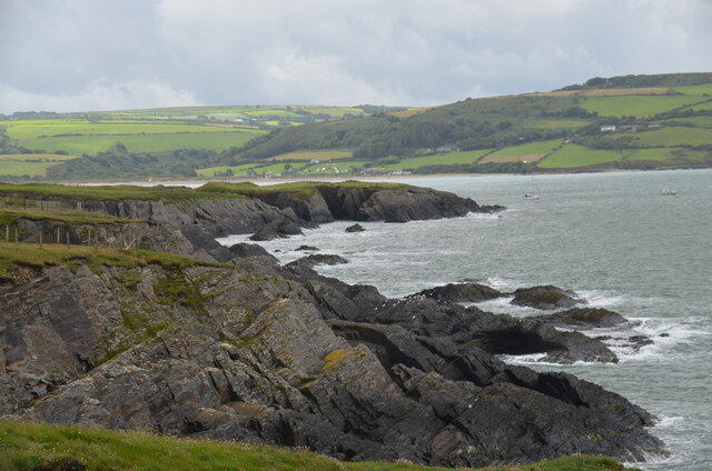
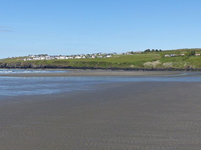
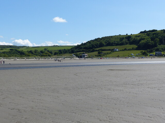
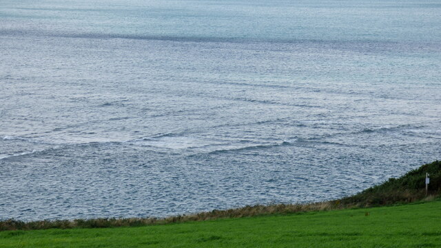
Towyn Warren is a picturesque area located in Cardiganshire, Wales. It is renowned for its stunning downs and moorland landscapes, which attract numerous visitors throughout the year.
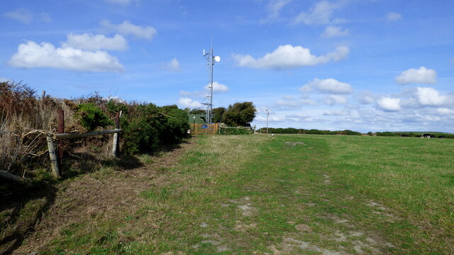
The area is characterized by rolling hills covered in lush green grass, interspersed with rocky outcrops and scattered patches of heather. This diverse terrain provides a haven for a variety of plant and animal species, making it an ideal destination for nature enthusiasts and wildlife photographers.
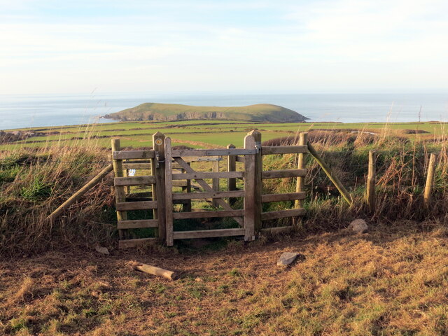
Towyn Warren offers breathtaking panoramic views, with the Cardigan Bay coastline visible in the distance. On clear days, visitors can also catch a glimpse of the stunning Snowdonia mountain range, adding to the overall charm of the area.
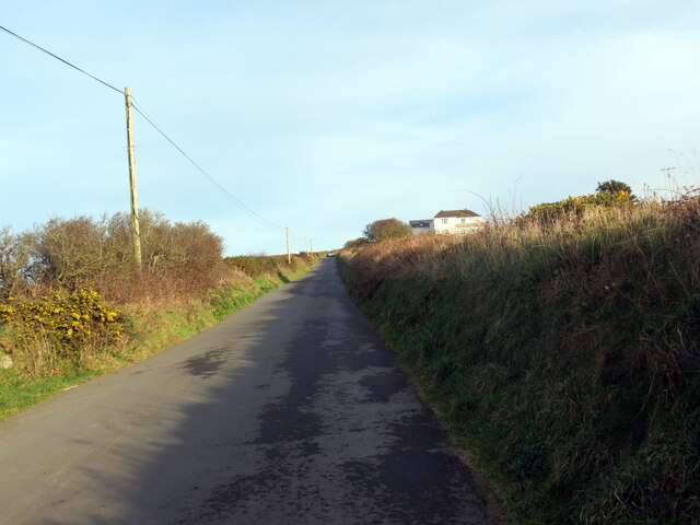
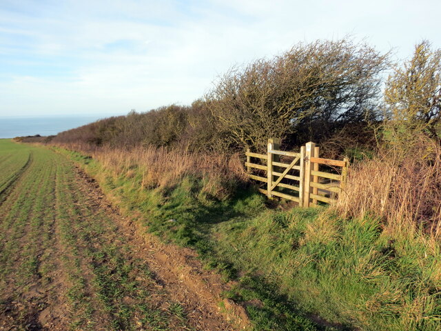
The downs and moorland of Towyn Warren provide ample opportunities for outdoor activities such as hiking, birdwatching, and photography. The well-maintained footpaths and trails make it easy for visitors to explore the area and discover its hidden gems.
Towyn Warren is also home to a number of rare and protected species, including the red kite and the grayling butterfly. Conservation efforts are in place to preserve the natural beauty and biodiversity of the area, making it an important ecological hotspot.
Overall, Towyn Warren in Cardiganshire offers a tranquil escape from the hustle and bustle of everyday life. Its stunning downs and moorland landscapes, coupled with its rich biodiversity, make it a must-visit destination for nature lovers and outdoor enthusiasts alike.
If you have any feedback on the listing, please let us know in the comments section below.
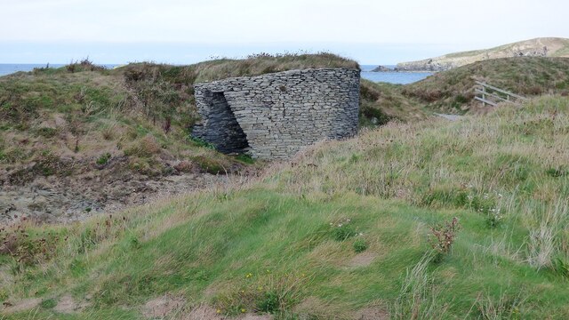
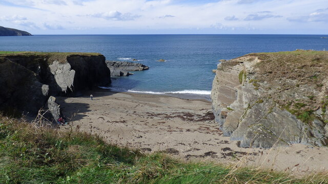
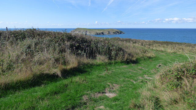
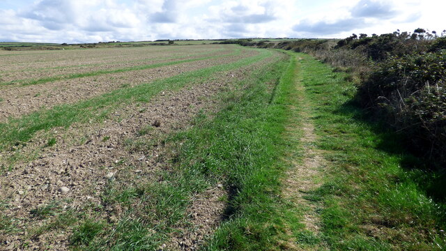
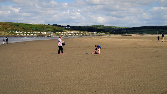
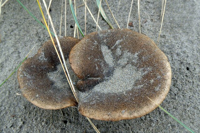
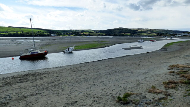
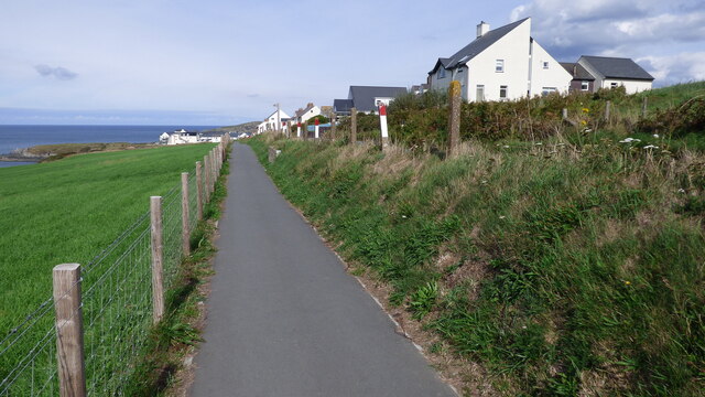
Towyn Warren Images
Images are sourced within 2km of 52.111258/-4.677077 or Grid Reference SN1649. Thanks to Geograph Open Source API. All images are credited.
Towyn Warren is located at Grid Ref: SN1649 (Lat: 52.111258, Lng: -4.677077)
Unitary Authority: Ceredigion
Police Authority: Dyfed Powys
What 3 Words
///gear.pies.obviously. Near Cardigan, Ceredigion
Nearby Locations
Related Wikis

Gwbert
Gwbert (Welsh pronunciation: [ˈɡubɛrt]), also known as Gwbert-on-Sea, is a cliff-top coastal village in Y Ferwig community, Ceredigion, Wales. It lies...

River Teifi
The River Teifi (English: ; Welsh: Afon Teifi, pronounced [ˈavɔn ˈtei̯vi]) in Wales forms the boundary for most of its length between the counties of Ceredigion...
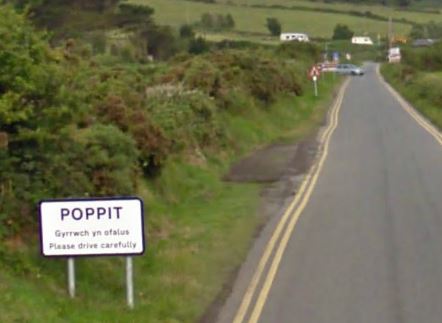
Poppit Sands
Poppit (Welsh: Poppit) is a small, dispersed settlement which lies on the southern side of the estuary of the River Teifi, near Cardigan, in northern Pembrokeshire...
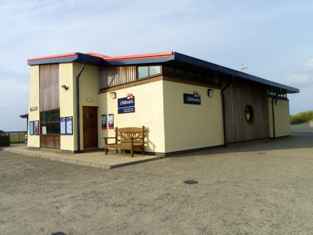
Cardigan Lifeboat Station
Cardigan Lifeboat Station, at Poppit Sands, North Pembrokeshire, near Cardigan, Ceredigion, Wales, is a Royal National Lifeboat Institution (RNLI) lifeboat...
Nearby Amenities
Located within 500m of 52.111258,-4.677077Have you been to Towyn Warren?
Leave your review of Towyn Warren below (or comments, questions and feedback).