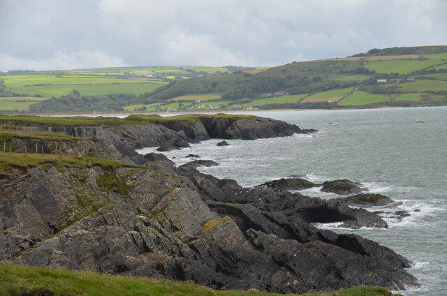
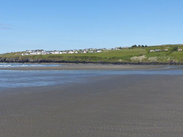
Gwbert
Settlement in Cardiganshire
Wales
Gwbert

The requested URL returned error: 429 Too Many Requests
If you have any feedback on the listing, please let us know in the comments section below.
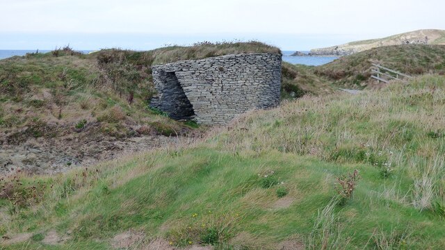
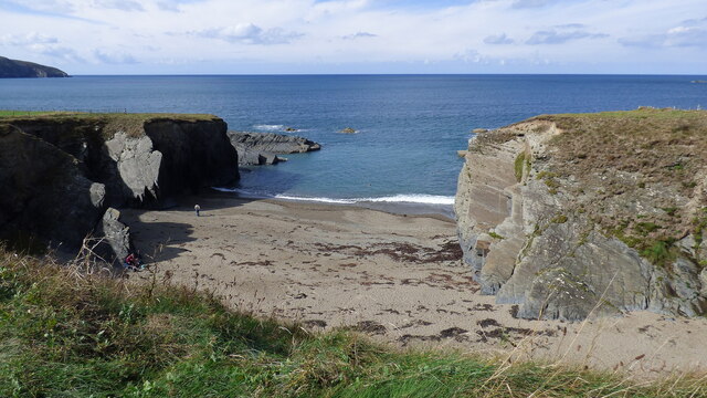
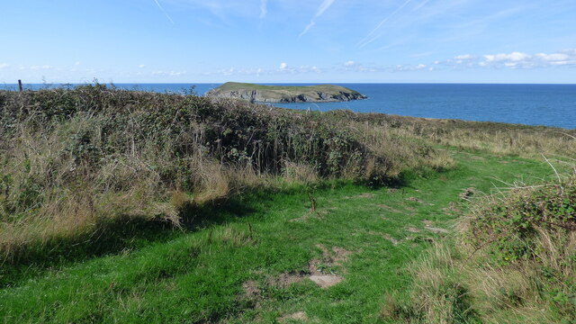
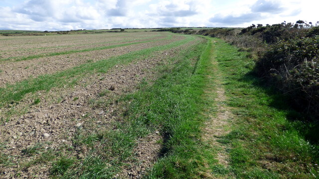
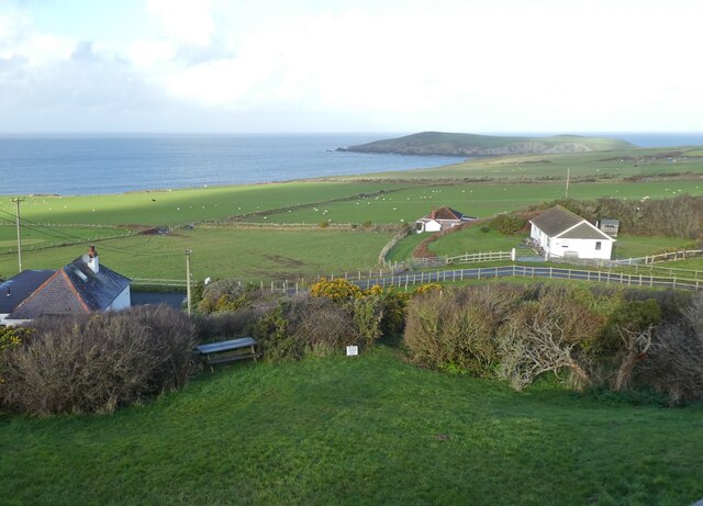
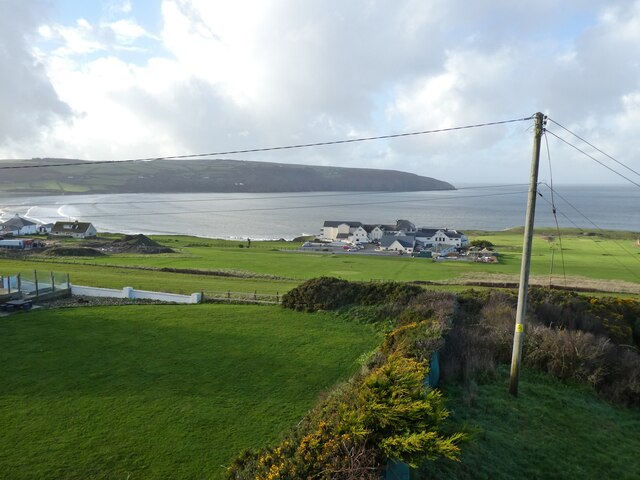
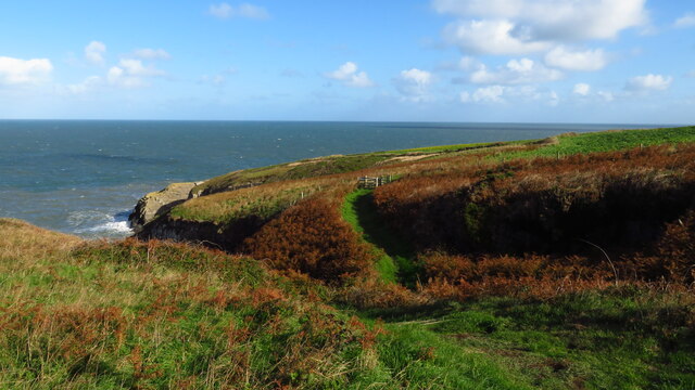
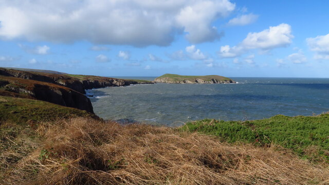
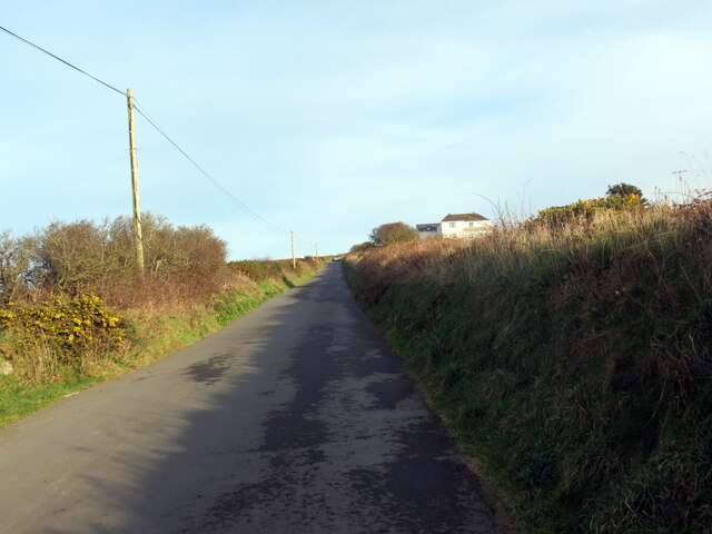
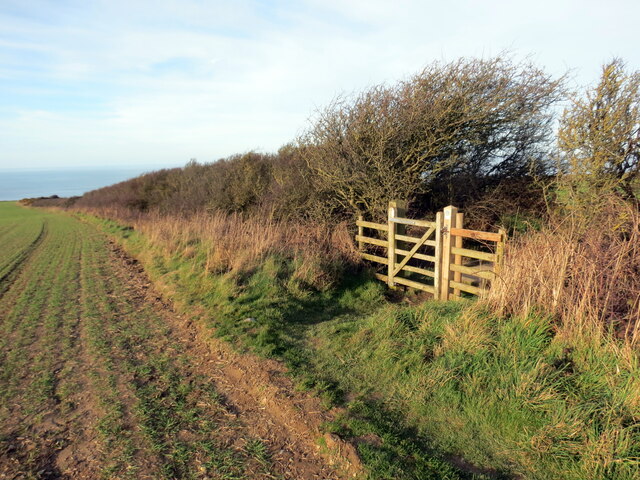
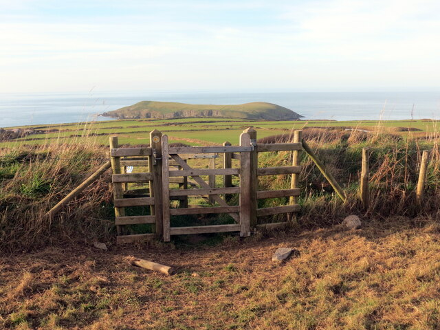
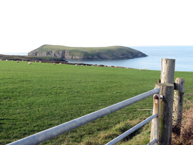
Gwbert Images
Images are sourced within 2km of 52.117274/-4.684066 or Grid Reference SN1649. Thanks to Geograph Open Source API. All images are credited.


Gwbert is located at Grid Ref: SN1649 (Lat: 52.117274, Lng: -4.684066)
Unitary Authority: Ceredigion
Police Authority: Dyfed Powys
Also known as: Gwbert on Sea
What 3 Words
///inspects.warns.suffix. Near Cardigan, Ceredigion
Nearby Locations
Related Wikis

Gwbert
Gwbert (Welsh pronunciation: [ˈɡubɛrt]), also known as Gwbert-on-Sea, is a cliff-top coastal village in Y Ferwig community, Ceredigion, Wales. It lies...
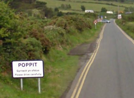
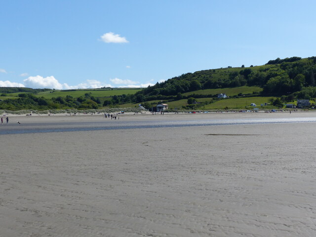
Poppit Sands
Poppit (Welsh: Poppit) is a small, dispersed settlement which lies on the southern side of the estuary of the River Teifi, near Cardigan, in northern Pembrokeshire...

River Teifi
The River Teifi (English: ; Welsh: Afon Teifi, pronounced [ˈavɔn ˈtei̯vi]) in Wales forms the boundary for most of its length between the counties of Ceredigion...
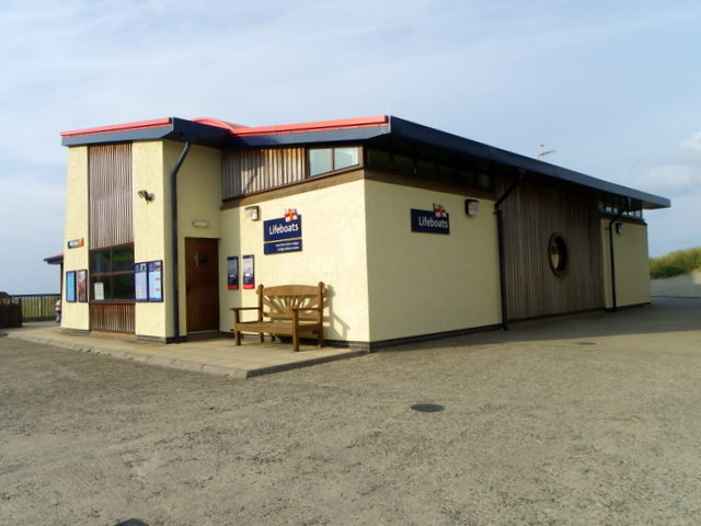
Cardigan Lifeboat Station
Cardigan Lifeboat Station, at Poppit Sands, North Pembrokeshire, near Cardigan, Ceredigion, Wales, is a Royal National Lifeboat Institution (RNLI) lifeboat...
Nearby Amenities
Located within 500m of 52.117274,-4.684066Have you been to Gwbert?
Leave your review of Gwbert below (or comments, questions and feedback).