Creechan Moor

Downs, Moorland in Wigtownshire

Scotland

Creechan Moor

Fields near Castlemoor Looking south, towards the Mull of Galloway.
Fields near Castlemoor Credit: David Medcalf

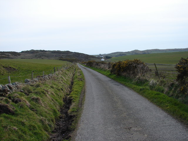
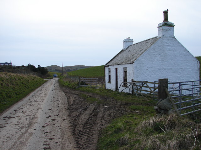
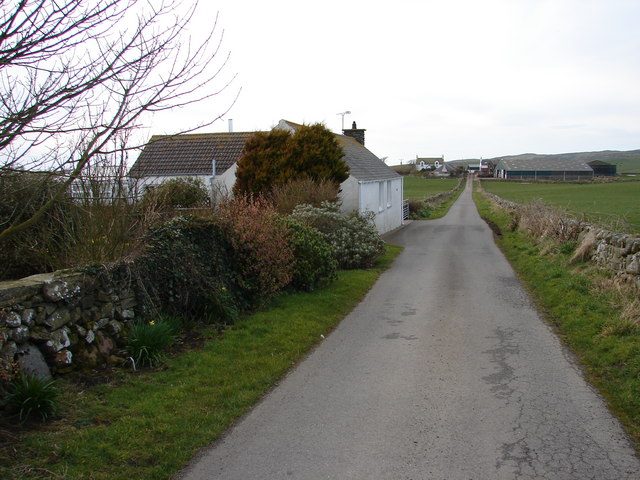
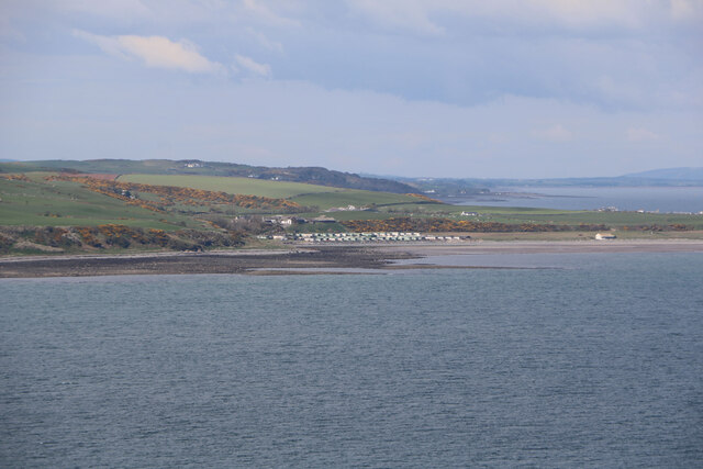
Creechan Moor is a vast expanse of downs and moorland situated in Wigtownshire, Scotland. Covering an area of approximately 1,500 hectares, it offers a unique and diverse landscape that attracts visitors and nature enthusiasts alike.

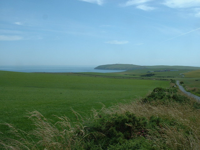
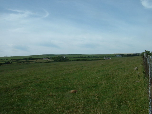
The moorland is characterized by its gently rolling hills and expansive open spaces. The terrain is dominated by heather, grasses, and mosses, creating a beautiful tapestry of colors throughout the seasons. In summer, the moorland bursts into a display of vibrant purples and pinks as the heather blooms.

Creechan Moor is home to a variety of plant and animal species, making it a significant site for conservation. Rare and protected species such as the Hen Harrier, Merlin, and Short-eared Owl can be spotted soaring above the moorland, while ground-nesting birds like the Curlew and Lapwing find sanctuary in the tall grasses.

The moorland is also rich in archaeological history, with traces of ancient settlements and burial sites dating back to the Bronze Age. These historical remnants provide a fascinating glimpse into the lives of the people who once inhabited this area.

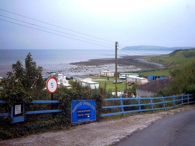
Visitors to Creechan Moor can explore the network of walking trails and enjoy the tranquility and solitude of the landscape. The moorland offers breathtaking panoramic views, particularly from its highest point, where on a clear day, the surrounding hills and coastline can be seen.

Creechan Moor is a place of natural beauty and historical significance, offering a unique and immersive experience for those who seek to connect with Scotland's rugged and untamed landscapes.

If you have any feedback on the listing, please let us know in the comments section below.

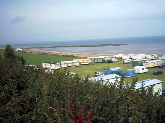
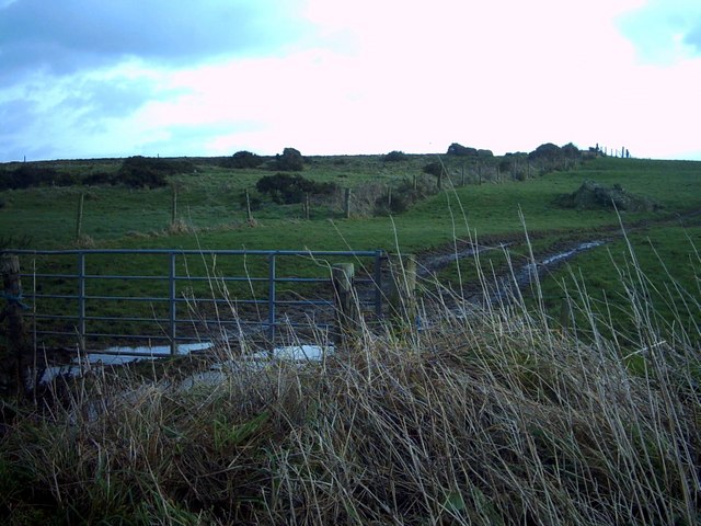
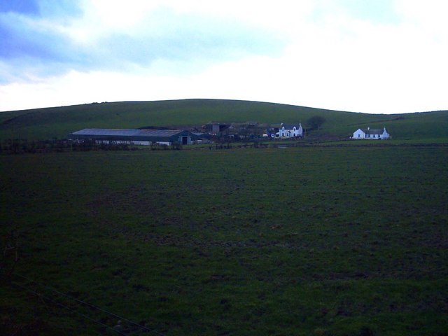
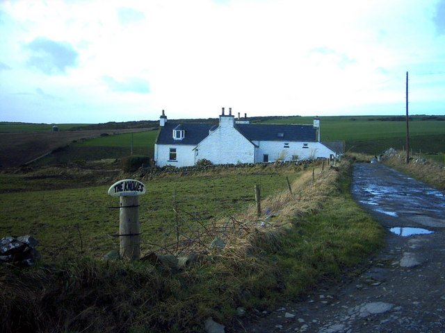
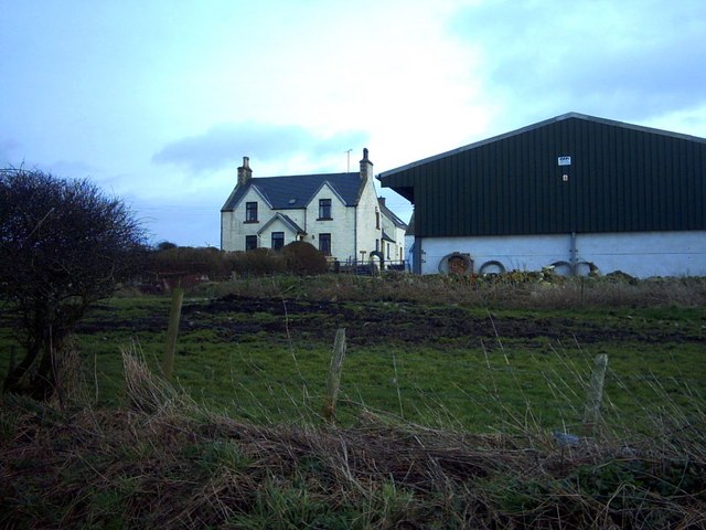
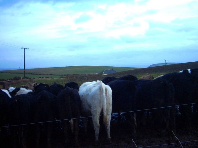
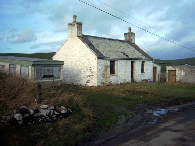
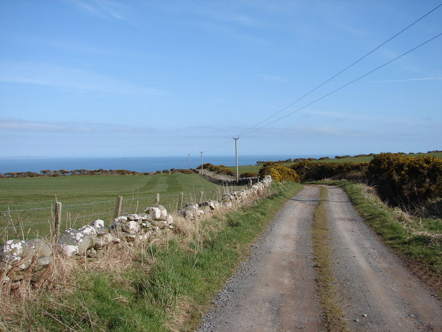
Creechan Moor Images

Images are sourced within 2km of 54.670451/-4.9083565 or Grid Reference NX1234. Thanks to Geograph Open Source API. All images are credited.

Fields near Castlemoor Looking south, towards the Mull of Galloway.
Fields near Castlemoor
Looking south, towards the Mull of Galloway.
Cottages at Castlemoor Looking north.
Cottages at Castlemoor
Looking north.
Cairngarroch Farm Cairngarroch is a dairy farm.
Cairngarroch Farm
Cairngarroch is a dairy farm.
Maryport Caravan Park In the background can faintly be seen The Mull of Galloway and lighthouse.
Maryport Caravan Park
In the background can faintly be seen The Mull of Galloway and lighthouse.
Maryport Caravan Park Set on a sandy beach, the shingle bar is called 'Ringwee'.  The Wigtownshire coast across Luce Bay can faintly be seen on the horizon.
Maryport Caravan Park
Set on a sandy beach, the shingle bar is called 'Ringwee'. The Wigtownshire coast across Luce Bay can faintly be seen on the horizon.
Damnaglaur Damnaglaur is a hamlet about a mile above the village of Drummore.  The Galloway Hills are visible across Luce Bay.
Damnaglaur
Damnaglaur is a hamlet about a mile above the village of Drummore. The Galloway Hills are visible across Luce Bay.
Creechan Moor
Creechan Moor
Conjured Knowe Why Conjured Knowe?  The Knowe ('knoll' in ancient Scottish) may have been made up or manufactured.
Conjured Knowe
Why Conjured Knowe? The Knowe ('knoll' in ancient Scottish) may have been made up or manufactured.
Mid Muntloch Farm The farm has surely one of the longest barns in existence?  The hill behind the farm is Slewhabble.
Mid Muntloch Farm
The farm has surely one of the longest barns in existence? The hill behind the farm is Slewhabble.
Knowes Farm The Knowes translates as 'the knolls' in the ancient Scottish language.  There is certainly a surfeit of grassy knolls in the area.
Knowes Farm
The Knowes translates as 'the knolls' in the ancient Scottish language. There is certainly a surfeit of grassy knolls in the area.
East Muntloch Farm East Muntloch is one of the farms locally to have diversified into offering holiday and B&B accommodation.
East Muntloch Farm
East Muntloch is one of the farms locally to have diversified into offering holiday and B&B accommodation.
Pulinkum Farm and Slewmag Just the roof of buildings on Pulinkum Farm can be seen.  The hill behind is Slewmag, and the Mull of Galloway can be seen in the distance on the right of the picture.
Pulinkum Farm and Slewmag
Just the roof of buildings on Pulinkum Farm can be seen. The hill behind is Slewmag, and the Mull of Galloway can be seen in the distance on the right of the picture.
Knowes Cottage One of many local farm cottages awaiting sympathetic restoration.
Knowes Cottage
One of many local farm cottages awaiting sympathetic restoration.
Creechan Farm Track Track from B7041 leads east and down to Creechan Farm on The Rhins.
Creechan Farm Track
Track from B7041 leads east and down to Creechan Farm on The Rhins.
West Muntloch Road from Damnaglaur to Knockencule descends westward to West Muntloch.
West Muntloch
Road from Damnaglaur to Knockencule descends westward to West Muntloch.
West Muntloch Cottage Derelict cottage by the tractor-muddied lane at West Muntloch.
West Muntloch Cottage
Derelict cottage by the tractor-muddied lane at West Muntloch.
Afton and Inshanks View northwest from Afton to Inshanks dairy farm.
Afton and Inshanks
View northwest from Afton to Inshanks dairy farm.
Maryport Caravan Park Viewed from the Mull of Galloway.
Maryport Caravan Park
Viewed from the Mull of Galloway.
Show me another place!

Creechan Moor is located at Grid Ref: NX1234 (Lat: 54.670451, Lng: -4.9083565)

Unitary Authority: Dumfries and Galloway

Police Authority: Dumfries and Galloway

What 3 Words

///prancing.cherubs.blurs. Near Drummore, Dumfries & Galloway

Related Wikis

Cairngaan

Cairngaan, Wigtownshire, is the southmost settlement in Scotland. The hamlet of Cairngaan lies just north of the Mull of Galloway (which contains Scotland...

Drummore

Drummore (drum-ORE; (from Gaelic An Druim Mòr meaning "the great ridge") is the southernmost village in Scotland, located at the southern end of the Rhins...

Kirkmaiden (village)

Kirkmaiden (sometimes Maidenkirk; Scottish Gaelic: Cill M'Eudan) is a small settlement in Galloway, Scotland, located approximately 17 miles (27 km) south...

Kirkmaiden

Kirkmaiden is a parish in the Rhins of Galloway, the most southerly in Scotland; the present Church of Scotland parish has the same name as and is approximately...

Nearby Amenities

Located within 500m of 54.670451,-4.9083565
Power: pole
Lat/Long: 54.6747667/-4.906563
Power: pole
Lat/Long: 54.6738221/-4.9061595
Power: pole
Lat/Long: 54.6729627/-4.9058219
Power: pole
Lat/Long: 54.6722806/-4.9058335
Power: pole
Lat/Long: 54.6715177/-4.9058199
Power: pole
Lat/Long: 54.6710655/-4.9053756
Power: pole
Lat/Long: 54.67061/-4.90491
Power: pole
Lat/Long: 54.669856/-4.9046946
Power: pole
Lat/Long: 54.6691382/-4.9044688
Power: pole
Lat/Long: 54.6683817/-4.9042309
Power: pole
Lat/Long: 54.6676109/-4.9039787
Power: pole
Lat/Long: 54.6668558/-4.9037498
Power: pole
Lat/Long: 54.668908/-4.9032531
Power: pole
Lat/Long: 54.6686757/-4.9020172
The data included in this document is from www.openstreetmap.org. The data is made available under ODbL.

Have you been to Creechan Moor?

Leave your review of Creechan Moor below (or comments, questions and feedback).