Muntlochower Hill
Hill, Mountain in Wigtownshire
Scotland
Muntlochower Hill
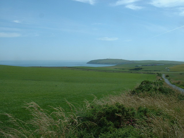
Muntlochower Hill is a prominent geographical feature located in Wigtownshire, Scotland. With an elevation of approximately 504 meters (1,654 feet), it stands tall and offers stunning panoramic views of the surrounding countryside. Situated about 15 kilometers northeast of the town of Newton Stewart, Muntlochower Hill is a popular destination for hikers, nature enthusiasts, and those seeking breathtaking vistas.
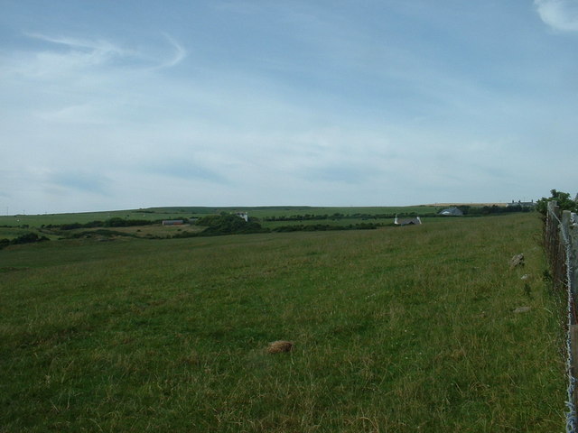
The hill is known for its relatively gentle slopes, making it accessible to a wide range of visitors, from experienced walkers to families looking for a leisurely stroll. Its terrain is predominantly grassy, with scattered patches of heather and shrubs. The hill is also home to a diverse range of plant and animal species, including nesting birds, butterflies, and various wildflowers.
At the summit of Muntlochower Hill, a trig point marks the highest point, allowing visitors to easily identify and appreciate the stunning views that stretch across the Galloway Forest Park and the surrounding Galloway Hills. On clear days, the Isle of Man and the Irish Sea can be seen in the distance.
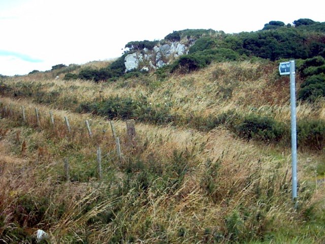
The hill is surrounded by a network of footpaths and trails, offering different routes for visitors to explore. Some popular trails include the Muntlochower Hill Circular Walk, which takes approximately 2-3 hours to complete, and the longer Southern Upland Way, which passes near the hill.
Overall, Muntlochower Hill is a magnificent natural landmark, offering an opportunity for outdoor enthusiasts to immerse themselves in the beauty of the Wigtownshire countryside while enjoying panoramic views of the surrounding landscape.
If you have any feedback on the listing, please let us know in the comments section below.
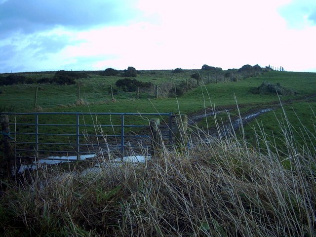
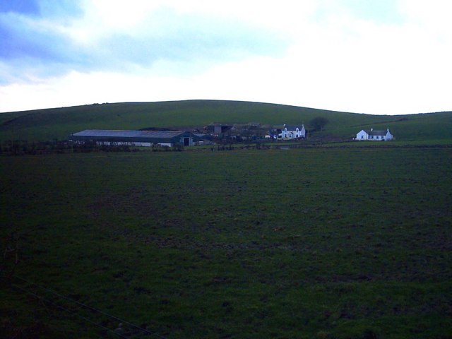
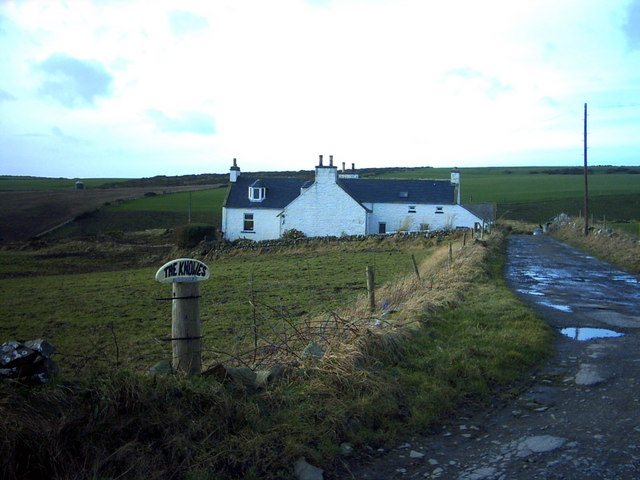
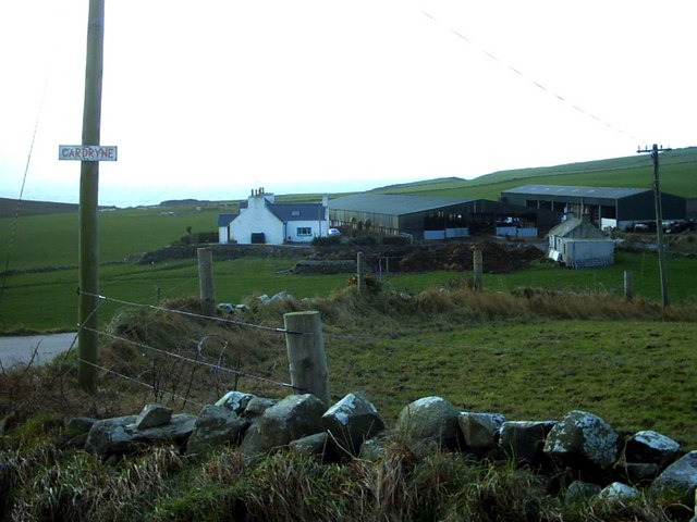
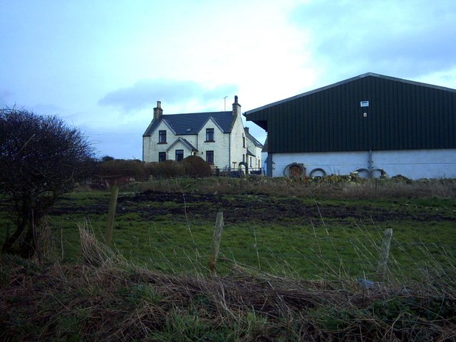
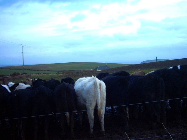
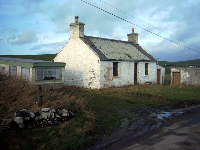
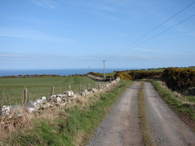
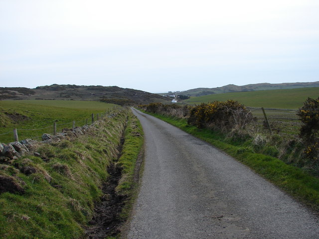
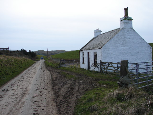
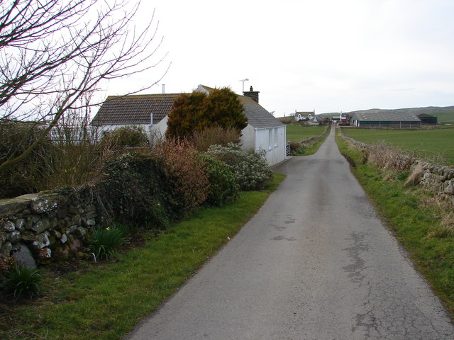
Muntlochower Hill Images
Images are sourced within 2km of 54.668748/-4.9145013 or Grid Reference NX1234. Thanks to Geograph Open Source API. All images are credited.


Muntlochower Hill is located at Grid Ref: NX1234 (Lat: 54.668748, Lng: -4.9145013)
Unitary Authority: Dumfries and Galloway
Police Authority: Dumfries and Galloway
What 3 Words
///goggle.patrolled.planet. Near Drummore, Dumfries & Galloway
Nearby Locations
Related Wikis

Cairngaan
Cairngaan, Wigtownshire, is the southmost settlement in Scotland. The hamlet of Cairngaan lies just north of the Mull of Galloway (which contains Scotland...
Kirkmaiden (village)
Kirkmaiden (sometimes Maidenkirk; Scottish Gaelic: Cill M'Eudan) is a small settlement in Galloway, Scotland, located approximately 17 miles (27 km) south...
Drummore
Drummore (drum-ORE; (from Gaelic An Druim Mòr meaning "the great ridge") is the southernmost village in Scotland, located at the southern end of the Rhins...
Kirkmaiden
Kirkmaiden is a parish in the Rhins of Galloway, the most southerly in Scotland; the present Church of Scotland parish has the same name as and is approximately...

Mull of Galloway
The Mull of Galloway (Scottish Gaelic: Maol nan Gall, pronounced [mɯːlˠ̪ nəŋ ˈkaulˠ̪]; grid reference NX158303) is the southernmost point of Scotland....

Port Logan
Port Logan, formerly Port Nessock, is a small village in the parish of Kirkmaiden in the Rhins of Galloway in Wigtownshire. The Gaelic name is Port Neasaig...

Logan Botanic Garden
Logan Botanic Garden is a botanical garden near Port Logan on the Rhins of Galloway, at the south-western tip of Scotland. The Botanic Garden was established...

Pasages (steam trawler)
ST Pasages (FD 119) was originally a Canadian "Castle" – TR series minesweeping trawler built by the Dominion Shipbuilding Company, Toronto, in 1917 for...
Nearby Amenities
Located within 500m of 54.668748,-4.9145013Have you been to Muntlochower Hill?
Leave your review of Muntlochower Hill below (or comments, questions and feedback).