Trehudreth Downs

Downs, Moorland in Cornwall

England

Trehudreth Downs

Estate Boundary Marker near The Beacon in Blisland parish Estate Boundary Marker on a small triangle of moorland formed by the lane from Penquite Marsh to Blisland and the lane to Carwen at the southern end of the section of moor known as The Beacon. Blisland parish. 

The 1842 Tithe map shows a group of 3 stones marking a small section of the southern part of the sea of moorland called The Beacon. This stone is the only one that remains. Found lying by the roadside, it was re-erected in 2005 as part of the Blisland Boundary Stone Project. Records show that Sir William Molesworth was in 1842 the Lord of the Manor of Blisland and owned a large part of the part of The Beacon. His mark, MX, is carved on the northeast face and the southwest face bears the mark H for Hayward. Its style and appearance would indicate that it was carved at a later date.

Milestone Society National ID: CW_BLIS44em
Estate Boundary Marker near The Beacon in Blisland parish Credit: P G Moore

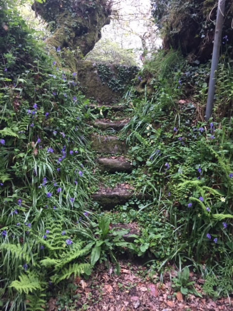
Trehudreth Downs is a captivating area located in Cornwall, England. Sprawling across acres of picturesque landscape, it is a haven for nature enthusiasts and hikers alike. The downs are characterized by their undulating hills and open grassland, offering breathtaking panoramic views of the surrounding countryside.

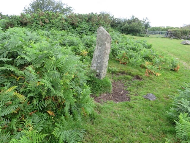
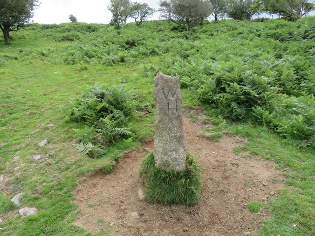
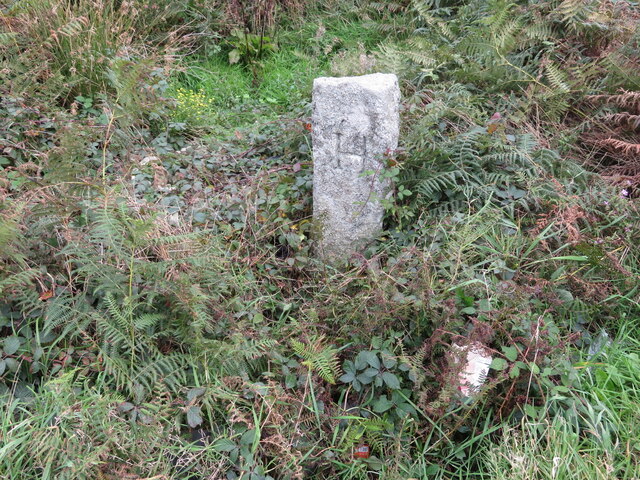
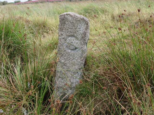
Situated in the heart of Bodmin Moor, Trehudreth Downs is known for its rugged beauty and unspoiled wilderness. The area boasts a diverse range of flora and fauna, including heather, gorse, and various species of birds and butterflies. Visitors can expect to encounter grazing livestock, such as sheep and ponies, adding to the charm and authenticity of the location.

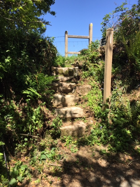
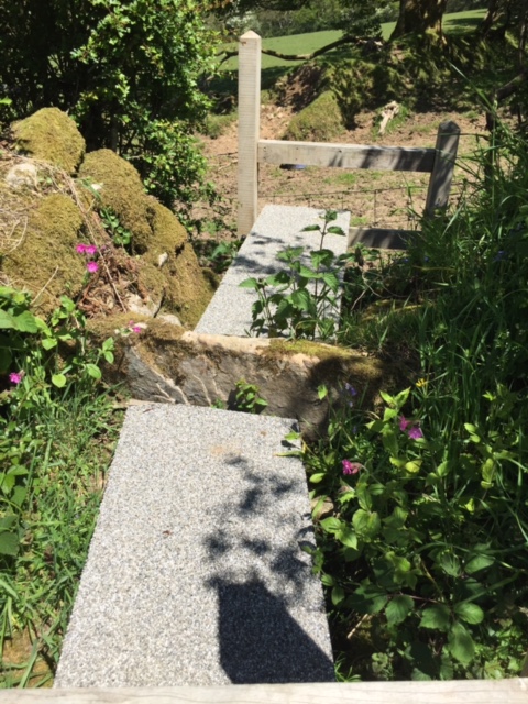
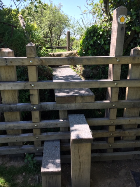
The downs offer a multitude of walking trails, catering to all levels of ability. From leisurely strolls to more challenging hikes, there is something for everyone. The landscape is dotted with ancient monuments and archaeological sites, providing a glimpse into the area's rich history and cultural heritage.

Trehudreth Downs is a peaceful retreat, far away from the hustle and bustle of city life. Its remote location offers a sense of tranquility and solitude, making it an ideal spot for those seeking a break from their daily routines. The downs are also a popular spot for stargazing, thanks to minimal light pollution, allowing visitors to marvel at the vastness of the night sky.

Overall, Trehudreth Downs is a stunning moorland area that showcases the natural beauty of Cornwall. With its diverse landscape, abundant wildlife, and peaceful atmosphere, it is a must-visit destination for nature lovers and anyone looking to immerse themselves in the charm of the English countryside.

If you have any feedback on the listing, please let us know in the comments section below.

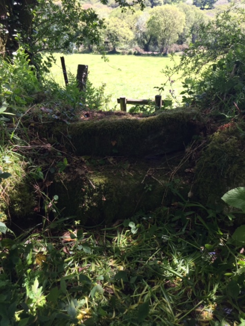
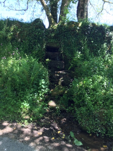
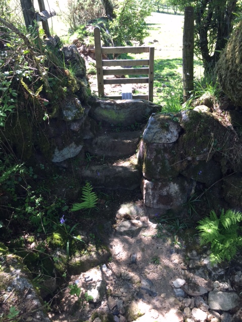
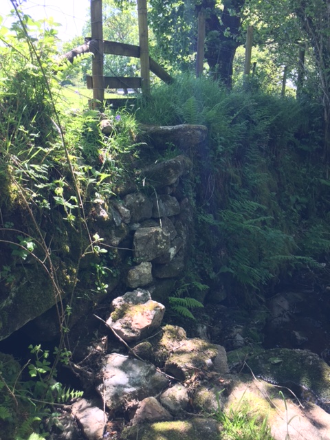
Trehudreth Downs Images

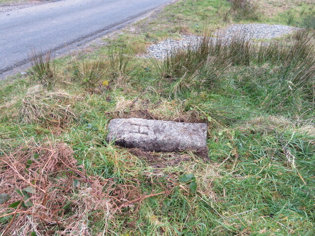
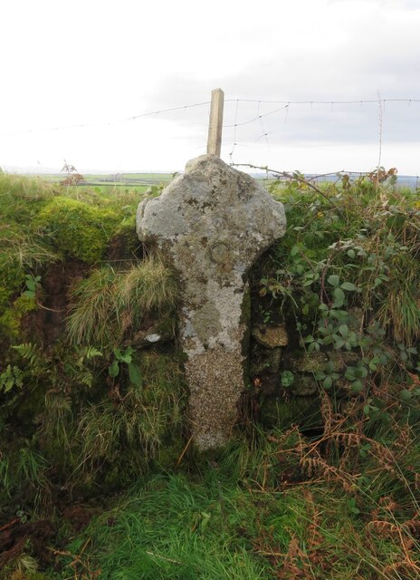
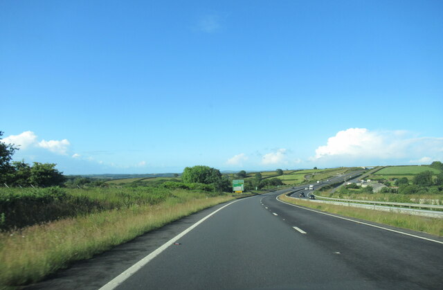
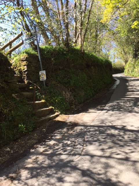
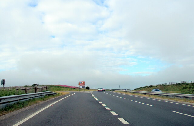
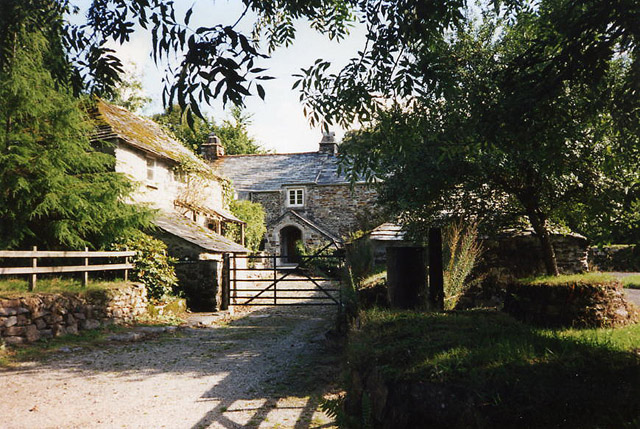
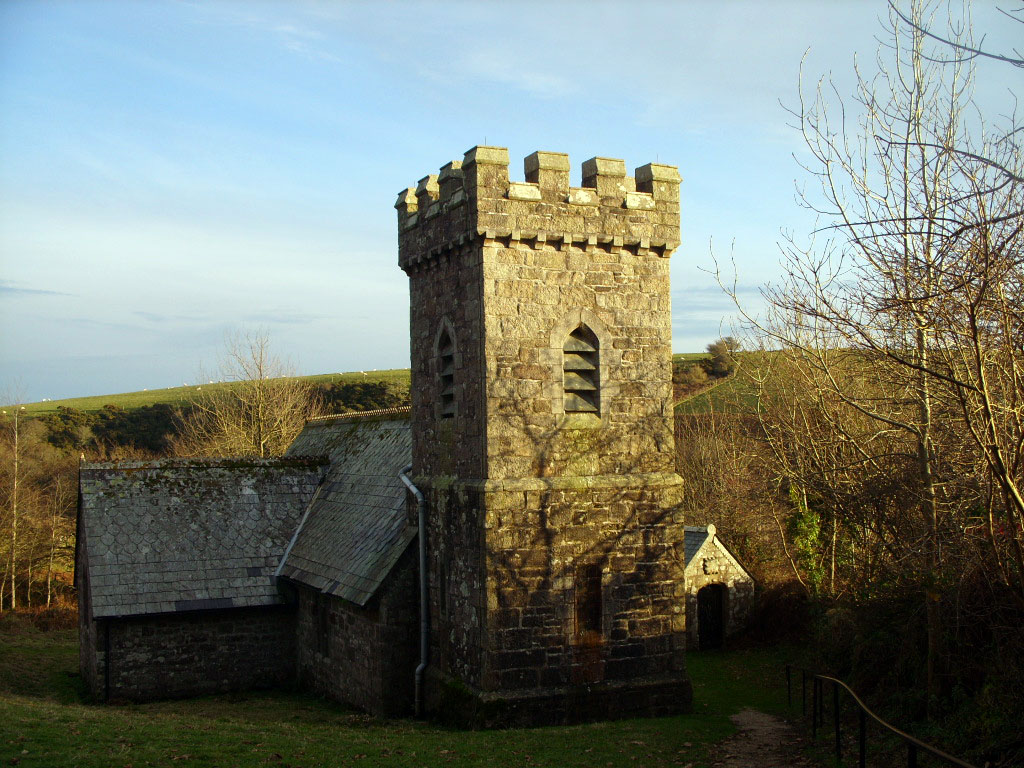
Images are sourced within 2km of 50.525768/-4.6477002 or Grid Reference SX1272. Thanks to Geograph Open Source API. All images are credited.

Estate Boundary Marker near The Beacon in Blisland parish Estate Boundary Marker on a small triangle of moorland formed by the lane from Penquite Marsh to Blisland and the lane to Carwen at the southern end of the section of moor known as The Beacon. Blisland parish. 

The 1842 Tithe map shows a group of 3 stones marking a small section of the southern part of the sea of moorland called The Beacon. This stone is the only one that remains. Found lying by the roadside, it was re-erected in 2005 as part of the Blisland Boundary Stone Project. Records show that Sir William Molesworth was in 1842 the Lord of the Manor of Blisland and owned a large part of the part of The Beacon. His mark, MX, is carved on the northeast face and the southwest face bears the mark H for Hayward. Its style and appearance would indicate that it was carved at a later date.

Milestone Society National ID: CW_BLIS44em
Estate Boundary Marker near The Beacon in Blisland parish
Estate Boundary Marker on a small triangle of moorland formed by the lane from Penquite Marsh to Blisland and the lane to Carwen at the southern end of the section of moor known as The Beacon. Blisland parish. The 1842 Tithe map shows a group of 3 stones marking a small section of the southern part of the sea of moorland called The Beacon. This stone is the only one that remains. Found lying by the roadside, it was re-erected in 2005 as part of the Blisland Boundary Stone Project. Records show that Sir William Molesworth was in 1842 the Lord of the Manor of Blisland and owned a large part of the part of The Beacon. His mark, MX, is carved on the northeast face and the southwest face bears the mark H for Hayward. Its style and appearance would indicate that it was carved at a later date. Milestone Society National ID: CW_BLIS44em
Estate Boundary Marker on Kerrow Downs in Blisland parish Estate Boundary Marker adjacent to the boundary wall at the northwest corner of the enclosed farmland of North Kerrow Farm on the north facing slope of the open moorland of Kerrow Downs. Blisland parish. 

The 1842 Tithe map shows a series of stones separating Kerrow Downs and Penquite Marsh from an area to the north known formerly as Black Downs or Blackpool. With the exception of one stone, now thought to be used as a gatepost to a field to the east, all these survive, although Black Downs is now simply known as part of Kerrow Downs. Records show that Sir William Molesworth was in 1842 the Lord of the Manor of Blisland and owned Kerrow Downs and part of Penquite Marsh. His mark MX is carved on the southern face of this stone. Records also show that Black Downs was at this time owned by John Wallis and his mark W is carved on the stone’s northern face. Subsequently Black Downs was acquired by James Hayward, and his letter H was added to this stone at a later date.

Milestone Society National ID: CW_BLIS47em
Estate Boundary Marker on Kerrow Downs in Blisland parish
Estate Boundary Marker adjacent to the boundary wall at the northwest corner of the enclosed farmland of North Kerrow Farm on the north facing slope of the open moorland of Kerrow Downs. Blisland parish. The 1842 Tithe map shows a series of stones separating Kerrow Downs and Penquite Marsh from an area to the north known formerly as Black Downs or Blackpool. With the exception of one stone, now thought to be used as a gatepost to a field to the east, all these survive, although Black Downs is now simply known as part of Kerrow Downs. Records show that Sir William Molesworth was in 1842 the Lord of the Manor of Blisland and owned Kerrow Downs and part of Penquite Marsh. His mark MX is carved on the southern face of this stone. Records also show that Black Downs was at this time owned by John Wallis and his mark W is carved on the stone’s northern face. Subsequently Black Downs was acquired by James Hayward, and his letter H was added to this stone at a later date. Milestone Society National ID: CW_BLIS47em
Old Boundary Marker on the minor road from Temple to the A30 flyover Estate Boundary Marker on the north side of the minor road from Temple to the A30 flyover. Blisland parish. 

This stone is marked H on its northwestern face indicating that the Hayward family, whose mark this is, were at some time the owners of Menacrin Downs. This stone is not shown on the Temple tithe map of 1841, at which time Menancrin Downs came under the ownership of the Manor of Barlendew (John Wallis, Lord of the Manor) and it is known that James Hayward acquired the Manor of Barlendew shortly after 1841. It can be assumed therefore that the stone was erected when the land changed hands or was subsequently marked with the letter H.

Milestone Society National ID: CW_BLIS61em
Old Boundary Marker on the minor road from Temple to the A30 flyover
Estate Boundary Marker on the north side of the minor road from Temple to the A30 flyover. Blisland parish. This stone is marked H on its northwestern face indicating that the Hayward family, whose mark this is, were at some time the owners of Menacrin Downs. This stone is not shown on the Temple tithe map of 1841, at which time Menancrin Downs came under the ownership of the Manor of Barlendew (John Wallis, Lord of the Manor) and it is known that James Hayward acquired the Manor of Barlendew shortly after 1841. It can be assumed therefore that the stone was erected when the land changed hands or was subsequently marked with the letter H. Milestone Society National ID: CW_BLIS61em
Old Boundary Marker north of the A30 in Blisland Estate Boundary Marker on an old field boundary bank on the north side of the A30, close to the lay-by and picnic area. Blisland parish. 

Marked C on its northwestern face, the meaning of this stone is unclear. The letter C was used by both Lord Clinton and the Collins family to mark ownership of areas of Bodmin Moor. The letter C is somewhat different than the letters carved on the stones on Manor Common near the Trippet Stones which could indicate that this stone refers to Collins. This stone is not shown on the Temple Tithe map, nor the 1880s 6 inch OS map. It is however shown on the 1907 6 inch map.

Milestone Society National ID: CW_BLIS62em
Old Boundary Marker north of the A30 in Blisland
Estate Boundary Marker on an old field boundary bank on the north side of the A30, close to the lay-by and picnic area. Blisland parish. Marked C on its northwestern face, the meaning of this stone is unclear. The letter C was used by both Lord Clinton and the Collins family to mark ownership of areas of Bodmin Moor. The letter C is somewhat different than the letters carved on the stones on Manor Common near the Trippet Stones which could indicate that this stone refers to Collins. This stone is not shown on the Temple Tithe map, nor the 1880s 6 inch OS map. It is however shown on the 1907 6 inch map. Milestone Society National ID: CW_BLIS62em
Old Boundary Marker on the minor road from Temple to the A30 flyover state Boundary Marker on the north side of the minor road from Temple to the A30 flyover. Blisland parish. See <a title="https://www.geograph.org.uk/photo/7004448" href="https://www.geograph.org.uk/photo/7004448">Link</a>. Found to have been snapped off just above ground level.

Milestone Society National ID: CW_BLIS61em
Old Boundary Marker on the minor road from Temple to the A30 flyover
state Boundary Marker on the north side of the minor road from Temple to the A30 flyover. Blisland parish. See Link. Found to have been snapped off just above ground level. Milestone Society National ID: CW_BLIS61em
Old Wayside Cross on Trehudreth Downs beside the A30 Peverall's Cross, the old head and shaft of a wayside cross. Set in a small enclosure on top of the bank on the north side of the eastbound carriageway of the A30, it is accessible only from Trehudreth Downs. This ancient monument is thought to be in its original position marking the boundary of the parishes of Blisland and Cardinham and at the same time marking where the ancient route from Launceston to Bodmin met another ancient track from Warleggan to Blisland.  In addition, this cross also marked the boundary of land owned by Gilbert, Lord of the Manor of Trehudreth, and Wallis, Lord of the Manor of Barlendew. The monument was later carved with the letters G on its eastern face and W on its western face.

Milestone Society National ID: CWNC_BLI10
Old Wayside Cross on Trehudreth Downs beside the A30
Peverall's Cross, the old head and shaft of a wayside cross. Set in a small enclosure on top of the bank on the north side of the eastbound carriageway of the A30, it is accessible only from Trehudreth Downs. This ancient monument is thought to be in its original position marking the boundary of the parishes of Blisland and Cardinham and at the same time marking where the ancient route from Launceston to Bodmin met another ancient track from Warleggan to Blisland. In addition, this cross also marked the boundary of land owned by Gilbert, Lord of the Manor of Trehudreth, and Wallis, Lord of the Manor of Barlendew. The monument was later carved with the letters G on its eastern face and W on its western face. Milestone Society National ID: CWNC_BLI10
The A30 west at Preeze Cross
Stone Stile SX1072a Towards the bottom end of the lane from Waterloo up to Cassacawn Road. The stile gives access to fields and to St Pratt’s Cross, SE of Blisland.
Seven stone steps on west side, slab top; one stone step and two bridging slabs on east side.
Public footpath from Waterloo to St Pratts’ Cross Footpath. 503/17/1 (Silver).
In conjunction with the stile at SX10385 73098 this is used as a short cut from Waterloo to Blisland village.
Stone Stile SX1072a
Towards the bottom end of the lane from Waterloo up to Cassacawn Road. The stile gives access to fields and to St Pratt’s Cross, SE of Blisland. Seven stone steps on west side, slab top; one stone step and two bridging slabs on east side. Public footpath from Waterloo to St Pratts’ Cross Footpath. 503/17/1 (Silver). In conjunction with the stile at SX10385 73098 this is used as a short cut from Waterloo to Blisland village.
Stone Stile SX1072b Beside the lane from Trewint to Waterloo (south east of Blisland village).
West Side: 6 stone steps topped with a granite slab.
East Side: 2 stone steps topped with the same granite slab.
The stile is at the north western end of FP No. 503/16/1 (Silver) which runs from the hamlet of Waterloo south east towards Stokely Farm and the moor.
Stone Stile SX1072b
Beside the lane from Trewint to Waterloo (south east of Blisland village). West Side: 6 stone steps topped with a granite slab. East Side: 2 stone steps topped with the same granite slab. The stile is at the north western end of FP No. 503/16/1 (Silver) which runs from the hamlet of Waterloo south east towards Stokely Farm and the moor.
Stone Stile SX1172a By the lane between Trehudreth to Poldue (south east of Blisland).
South Side: 5 stone steps up from the lane to a new wooden stile leading into fields. (There is no north side, so is this a stile?)
Public footpath 503/8/2 silver Trehudreth to Poldue.
This stile was uncovered and restored by Cormac on behalf of Cornwall Council towards the end of 2020.
Stone Stile SX1172a
By the lane between Trehudreth to Poldue (south east of Blisland). South Side: 5 stone steps up from the lane to a new wooden stile leading into fields. (There is no north side, so is this a stile?) Public footpath 503/8/2 silver Trehudreth to Poldue. This stile was uncovered and restored by Cormac on behalf of Cornwall Council towards the end of 2020.
Stone Stile SX1172b Between two fields at Poldue.
West Side: 2 stone steps topped with another stone on its edge. The stile is positioned between 2 wooden/wire fences. To avoid having to remove the farmer’s fences, in 2020 Cormac constructed a ‘bridge’ over the stile giving access over both fences.
East Side: 2, possibly 3, steps with a top stone shared with the west side.
Public footpath 503/8/2 silver Trehudreth to Poldue.
Stone Stile SX1172b
Between two fields at Poldue. West Side: 2 stone steps topped with another stone on its edge. The stile is positioned between 2 wooden/wire fences. To avoid having to remove the farmer’s fences, in 2020 Cormac constructed a ‘bridge’ over the stile giving access over both fences. East Side: 2, possibly 3, steps with a top stone shared with the west side. Public footpath 503/8/2 silver Trehudreth to Poldue.
Stone Stile SX1172c Between two fields at Poldue. 
West Side: 2, possibly 3, stone steps topped with another stone on its edge. The stile is positioned between 2 wooden/wire fences. To avoid having to remove the farmer’s fences, in 2020 Cormac constructed a ‘bridge’ over the stile giving access over both fences. East Side: 2 steps up to a shared top stone.
Public footpath 503/8/2 silver Poldue to Trehudreth.
Stone Stile SX1172c
Between two fields at Poldue. West Side: 2, possibly 3, stone steps topped with another stone on its edge. The stile is positioned between 2 wooden/wire fences. To avoid having to remove the farmer’s fences, in 2020 Cormac constructed a ‘bridge’ over the stile giving access over both fences. East Side: 2 steps up to a shared top stone. Public footpath 503/8/2 silver Poldue to Trehudreth.
Stone Stile SX1173 At the western end of FP No. 10, below the Blisland to Metherin lane, about a mile east of the village. A poorly maintained, little used stile giving access into a field.
West Side: 1 step and a top stone.
East Side: A slope up from a wooden stile, then 3 wide steps (earth covered) - or perhaps the slope covers a 4th wide stone - with a wide, flattish stone on top butting against the top stone on the west side.
Public footpath 503/10/1 bronze Blisland to Lower Metherin.
Stone Stile SX1173
At the western end of FP No. 10, below the Blisland to Metherin lane, about a mile east of the village. A poorly maintained, little used stile giving access into a field. West Side: 1 step and a top stone. East Side: A slope up from a wooden stile, then 3 wide steps (earth covered) - or perhaps the slope covers a 4th wide stone - with a wide, flattish stone on top butting against the top stone on the west side. Public footpath 503/10/1 bronze Blisland to Lower Metherin.
Stone Stile SX1174 Where the footpath leaves the tarmac lane from Blisland to Metherin, about 100 yards from the entrance to Metherin.
West Side: Originally 9 or 10 steps plus a top stone on its side up to a field at Metherin. Now most of the lower steps have fallen away and a stream runs down the steps.
East Side: No longer accessible as the farmer has placed a wire fence across the top.
Public footpath 503/9/1 bronze Blisland to Higher Metherin.
With the stile on the western side in such poor condition, with a wire fence across the top and with no access to the east end of the path, FP No. 9 is no longer useable.
Stone Stile SX1174
Where the footpath leaves the tarmac lane from Blisland to Metherin, about 100 yards from the entrance to Metherin. West Side: Originally 9 or 10 steps plus a top stone on its side up to a field at Metherin. Now most of the lower steps have fallen away and a stream runs down the steps. East Side: No longer accessible as the farmer has placed a wire fence across the top. Public footpath 503/9/1 bronze Blisland to Higher Metherin. With the stile on the western side in such poor condition, with a wire fence across the top and with no access to the east end of the path, FP No. 9 is no longer useable.
Stone Stile SX1273a Beside a dried stream bed beside the drive to Wallhouse, close to the property itself. 
West and East Sides: 3 steps up with a shared top stone. Wooden stile to the west of the stone stile.
Public footpath 503/8/3 silver Poldue to Wallhouse.
In 2020 Cormac opened up FP 503/8 by replacing several stiles – adding wooden stiles.
Stone Stile SX1273a
Beside a dried stream bed beside the drive to Wallhouse, close to the property itself. West and East Sides: 3 steps up with a shared top stone. Wooden stile to the west of the stone stile. Public footpath 503/8/3 silver Poldue to Wallhouse. In 2020 Cormac opened up FP 503/8 by replacing several stiles – adding wooden stiles.
Stone Stile SX1273b Beside a stream one field away from the main house at Wallhouse. The stone steps give access to a wooden stile leading into a field at Wallhouse. 
South Side: 5 or 6 stone steps of varying sizes, shapes, and depths.
Public footpath 503/8/3 silver Wallhouse to Newton.
In 2020 Cormac opened up FP 503/8 by replacing several stiles. At this time, the missing, bottom stone step was replaced in the stile making its use much easier and safer.
Stone Stile SX1273b
Beside a stream one field away from the main house at Wallhouse. The stone steps give access to a wooden stile leading into a field at Wallhouse. South Side: 5 or 6 stone steps of varying sizes, shapes, and depths. Public footpath 503/8/3 silver Wallhouse to Newton. In 2020 Cormac opened up FP 503/8 by replacing several stiles. At this time, the missing, bottom stone step was replaced in the stile making its use much easier and safer.
The A30 westbound, turning for Temple Fisheries and picnic area
Blisland: Trehudreth Mill Seen from the lane by the entrance. In 1893 J H Lang was listed as miller here in the local trade directory. The property is now a private residence
Blisland: Trehudreth Mill
Seen from the lane by the entrance. In 1893 J H Lang was listed as miller here in the local trade directory. The property is now a private residence
Show me another place!

Trehudreth Downs is located at Grid Ref: SX1272 (Lat: 50.525768, Lng: -4.6477002)

Unitary Authority: Cornwall

Police Authority: Devon and Cornwall

What 3 Words

///worm.reset.respected. Near Helland, Cornwall

Related Wikis

Temple, Cornwall

Temple (Cornish: Tempel) is a small village and former civil parish, now in the parish of Blisland, on Bodmin Moor, in the Cornwall district, in the ceremonial...
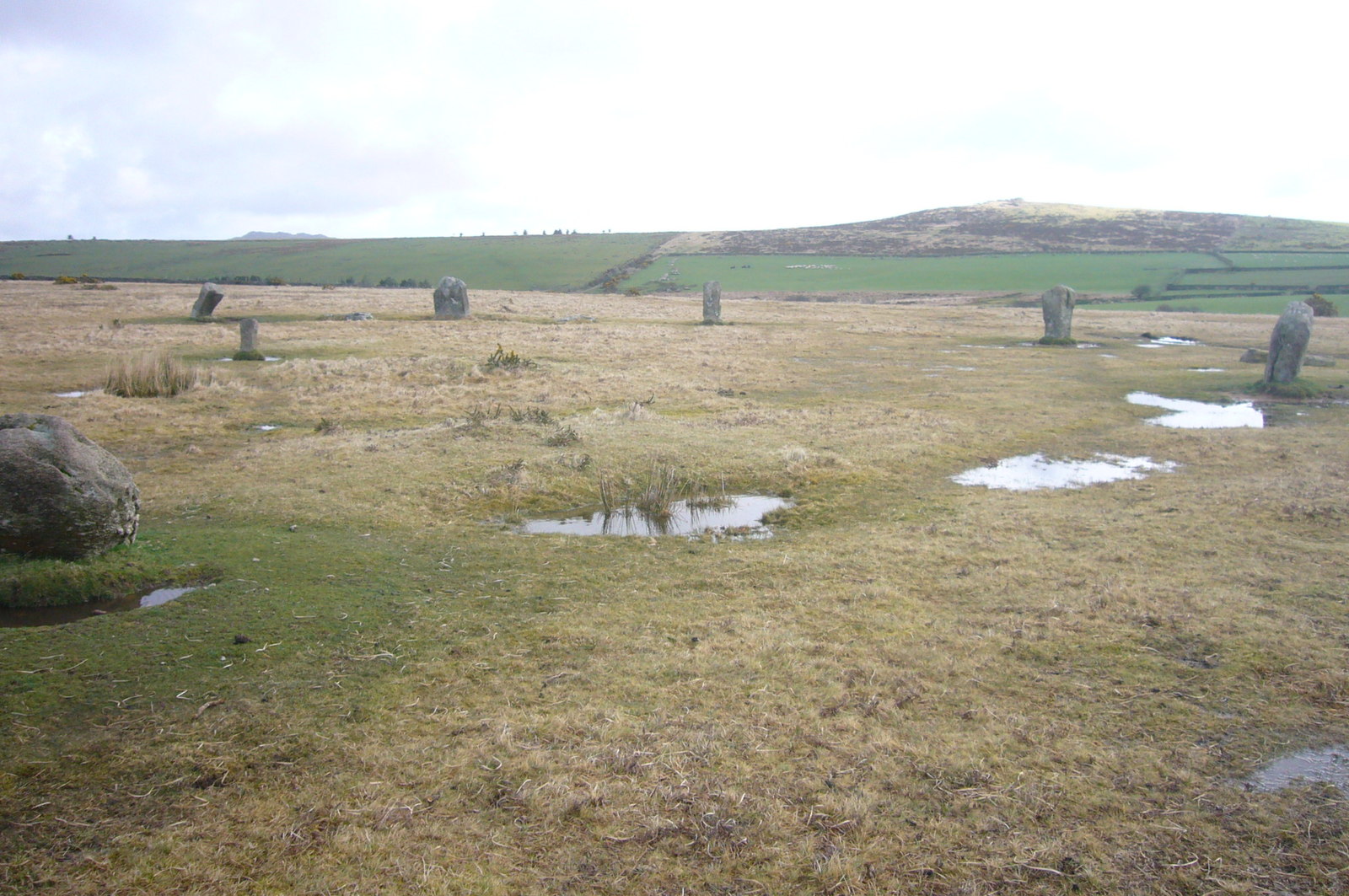
Trippet stones

The Trippet stones or Trippet stones circle is a stone circle located on Manor Common in Blisland, 9 kilometres (5.6 mi) north northeast of Bodmin on Bodmin...

Jubilee Rock

Jubilee Rock is a Grade II listed large rock on Pendrift Downs in the parish of Blisland, Cornwall, England. On the north side is carved the Falmouth...

Blisland

Blisland (Cornish: Blyslann) is a village and civil parish in Cornwall, England, United Kingdom. It is approximately five miles northeast of Bodmin. According...

Nearby Amenities

Located within 500m of 50.525768,-4.6477002
Wallhouse
Place: isolated_dwelling
Lat/Long: 50.5281227/-4.6523046
Power: pole
Lat/Long: 50.5271202/-4.6540859
Power: pole
Lat/Long: 50.5275682/-4.6533017
The data included in this document is from www.openstreetmap.org. The data is made available under ODbL.

Have you been to Trehudreth Downs?

Leave your review of Trehudreth Downs below (or comments, questions and feedback).