Llangolman Common
Downs, Moorland in Pembrokeshire
Wales
Llangolman Common

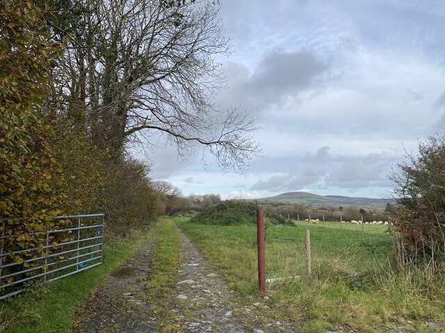
Llangolman Common is a picturesque area located in the county of Pembrokeshire, Wales. It is a vast expanse of unspoiled Downs and Moorland, covering an area of approximately 1,200 acres. The common is situated at an elevation of around 250 meters, offering stunning views of the surrounding countryside.
The landscape of Llangolman Common is characterized by rolling hills, open grasslands, and heather-covered moors. The area is rich in biodiversity, serving as a habitat for a variety of plant and animal species. Visitors can expect to encounter numerous bird species, including skylarks, stonechats, and meadow pipits. The common is also home to several mammals such as red foxes, badgers, and rabbits.
The vegetation on Llangolman Common consists of a mix of grasses, heather, gorse, and bracken. During the summer months, the hills are covered in vibrant purple heather blooms, creating a stunning visual spectacle. The common is also dotted with small ponds and streams, adding to its natural charm.
The area is a popular destination for outdoor enthusiasts, offering ample opportunities for walking, hiking, and nature exploration. There are several well-marked trails and footpaths crisscrossing the common, allowing visitors to explore its diverse landscapes. The tranquil atmosphere and breathtaking views make Llangolman Common a perfect spot for picnics or simply enjoying the beauty of nature.
Overall, Llangolman Common in Pembrokeshire is a serene and captivating location, showcasing the natural beauty of the Welsh countryside. It provides a haven for wildlife and a peaceful retreat for visitors seeking to immerse themselves in the wonders of nature.
If you have any feedback on the listing, please let us know in the comments section below.
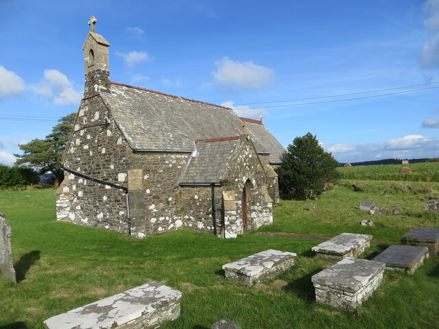
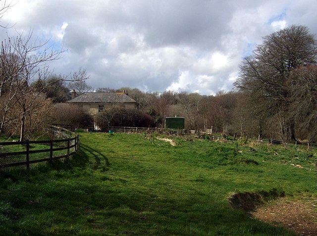
Llangolman Common Images
Images are sourced within 2km of 51.913762/-4.7322294 or Grid Reference SN1227. Thanks to Geograph Open Source API. All images are credited.


Llangolman Common is located at Grid Ref: SN1227 (Lat: 51.913762, Lng: -4.7322294)
Unitary Authority: Pembrokeshire
Police Authority: Dyfed Powys
What 3 Words
///stated.recently.deserved. Near Glandwr, Pembrokeshire
Nearby Locations
Related Wikis

Llangolman
Llangolman () is a village and parish in the southeastern Preseli Hills in Pembrokeshire, Wales. It is part of the community of Mynachlog-ddu. There are...
Llandeilo Llwydarth
Llandeilo Llwydarth () or Llandilo is an ancient area and parish in the Preseli Hills between Llangolman and Maenclochog in the community of Maenclochog...

A478 road
The A478 road is a major road in Wales. The route is from its junction with the A487 at Cardigan, Ceredigion, to Tenby, Pembrokeshire. It crosses the Preseli...
Temple Druid
Temple Druid is a grade II listed John Nash house in west Wales, Pembrokeshire, Great Britain. Temple Druid, named after a series of standing stones and...
Nearby Amenities
Located within 500m of 51.913762,-4.7322294Have you been to Llangolman Common?
Leave your review of Llangolman Common below (or comments, questions and feedback).