Corpach Moss

Downs, Moorland in Argyllshire

Scotland

Corpach Moss

MV Dayspring - 'The Corpach Wreck' The MV Dayspring has sat on the Kilmallie shoreline since it was washed ashore in a storm in December 2011.

The story of MV Dayspring <span class="nowrap"><a title="https://www.obantimes.co.uk/2019/06/07/one-man-and-a-boat-the-story-of-mv-dayspring/" rel="nofollow ugc noopener" href="https://www.obantimes.co.uk/2019/06/07/one-man-and-a-boat-the-story-of-mv-dayspring/">Link</a><img style="margin-left:2px;" alt="External link" title="External link - shift click to open in new window" src="https://s1.geograph.org.uk/img/external.png" width="10" height="10"/></span>
MV Dayspring - 'The Corpach Wreck' Credit: Raibeart MacAoidh

Corpach Moss is a picturesque expanse of downs and moorland located in Argyllshire, Scotland. Situated in the vicinity of the village of Corpach, this natural landscape is renowned for its unique blend of diverse flora and fauna, making it a popular destination for nature enthusiasts and hikers alike.

Covering an area of approximately 200 acres, Corpach Moss is characterized by its rolling hills, heather-covered moorlands, and scattered patches of dense woodland. The site is defined by its wetter areas, with small lochs and pools dotting the landscape, creating a rich and varied ecosystem.

The moss teems with a wide array of plant species, including mosses, grasses, and heather, which contribute to the vibrant colors that emerge throughout the seasons. These plant communities provide a vital habitat for numerous bird species, such as curlews, lapwings, and red grouse, which can be spotted nesting or foraging in the area.

In addition to its ecological significance, Corpach Moss also possesses historical and cultural value. The site has been used for centuries for peat extraction, which is still carried out on a small scale today. The extraction process has left behind distinctive peat cuttings, creating a unique visual element within the landscape.

Corpach Moss offers visitors an opportunity to immerse themselves in the serene beauty of the Scottish countryside. Its rich biodiversity, coupled with its historical and cultural significance, makes it a must-visit destination for those seeking an authentic and tranquil experience amidst nature.

If you have any feedback on the listing, please let us know in the comments section below.
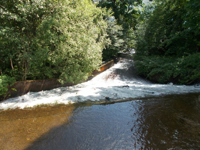
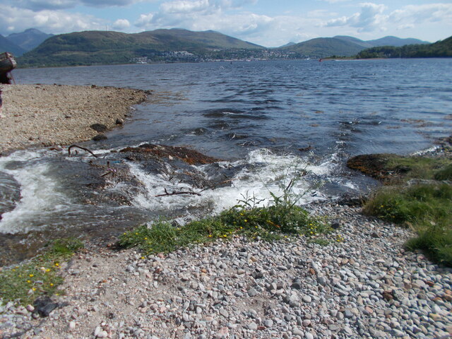
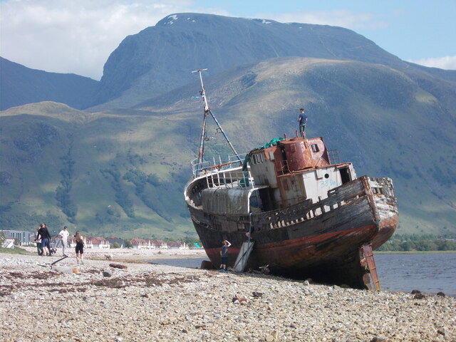
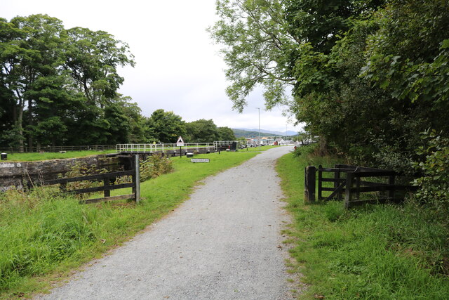
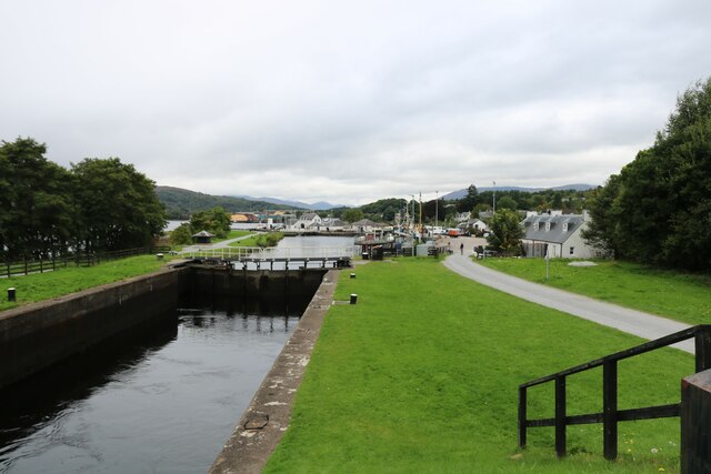
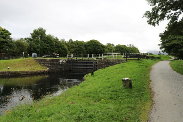
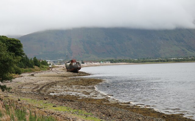
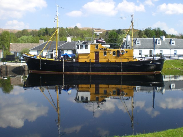
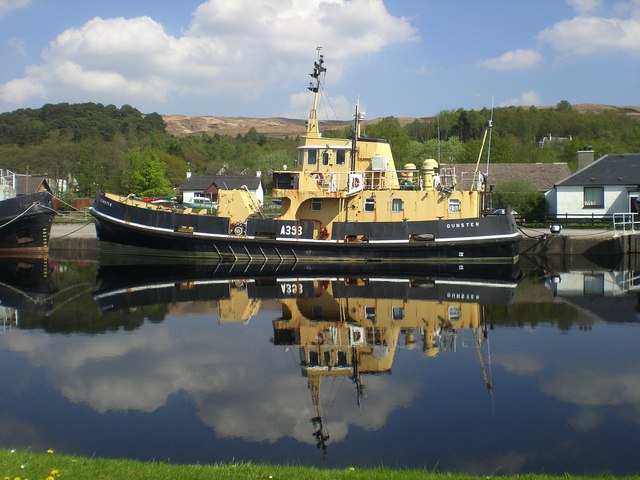
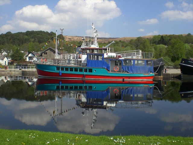
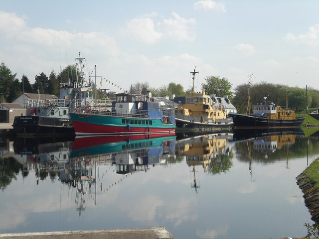
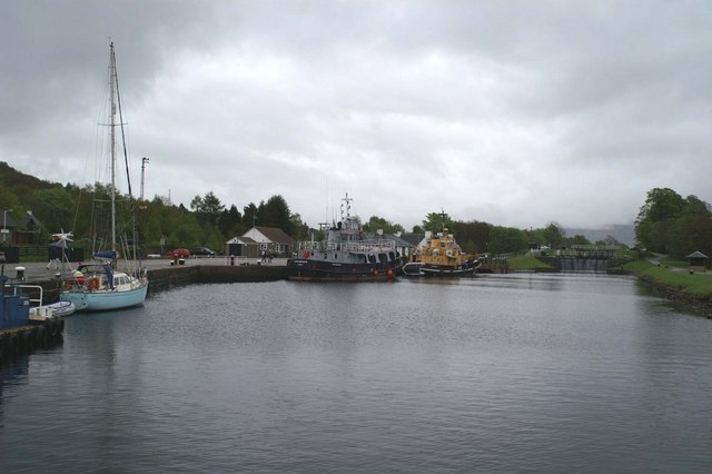
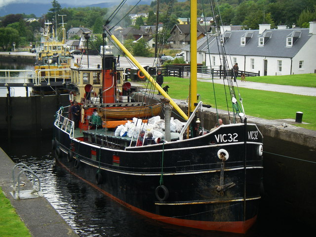
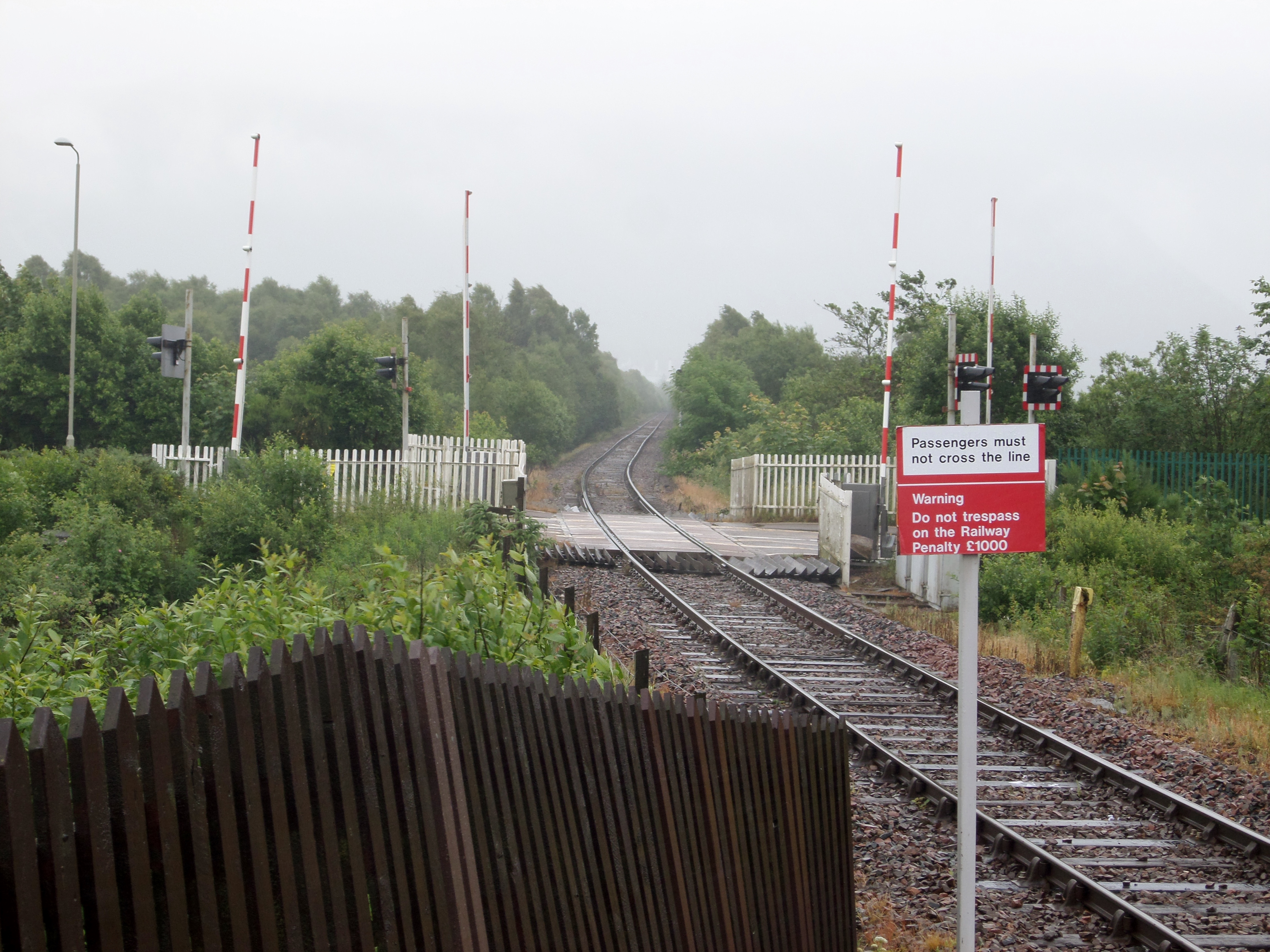
Corpach Moss Images

Images are sourced within 2km of 56.840255/-5.0876292 or Grid Reference NN1176. Thanks to Geograph Open Source API. All images are credited.

MV Dayspring - 'The Corpach Wreck' The MV Dayspring has sat on the Kilmallie shoreline since it was washed ashore in a storm in December 2011.

The story of MV Dayspring <span class="nowrap"><a title="https://www.obantimes.co.uk/2019/06/07/one-man-and-a-boat-the-story-of-mv-dayspring/" rel="nofollow ugc noopener" href="https://www.obantimes.co.uk/2019/06/07/one-man-and-a-boat-the-story-of-mv-dayspring/">Link</a><img style="margin-left:2px;" alt="External link" title="External link - shift click to open in new window" src="https://s1.geograph.org.uk/img/external.png" width="10" height="10"/></span>
MV Dayspring - 'The Corpach Wreck'
The MV Dayspring has sat on the Kilmallie shoreline since it was washed ashore in a storm in December 2011. The story of MV Dayspring LinkExternal link
Looking down the weir
Loch Linnhe shoreline A point where the stream issuing from the weir enters the loch.
Loch Linnhe shoreline
A point where the stream issuing from the weir enters the loch.
The Corpach Shipwreck This is the rusting hulk of a fishing vessel that has been here since 2011 after being stranded by a huge storm.
The Corpach Shipwreck
This is the rusting hulk of a fishing vessel that has been here since 2011 after being stranded by a huge storm.
MV Dayspring - 'The Corpach Shipwreck' The MV Dayspring has sat on the Kilmallie shoreline since it was washed ashore in a storm in December 2011.
MV Dayspring - 'The Corpach Shipwreck'
The MV Dayspring has sat on the Kilmallie shoreline since it was washed ashore in a storm in December 2011.
Corpach Shipwreck "MV Dayspring", Caol Built in 1975 and has been sat on the shoreline since a storm in December 2011.
Corpach Shipwreck "MV Dayspring", Caol
Built in 1975 and has been sat on the shoreline since a storm in December 2011.
Approaching Corpach Basin On the Caledonian Canal these locks are just before Corpach Basin. Beyond the basin two more locks lead to Loch Linnhe.
Approaching Corpach Basin
On the Caledonian Canal these locks are just before Corpach Basin. Beyond the basin two more locks lead to Loch Linnhe.
Corpach Basin Known as 'Corpach Double Gate' this lock is the last one on the Caledonian Canal before Corpach Basin. Beyond that is Loch Linnhe.
Corpach Basin
Known as 'Corpach Double Gate' this lock is the last one on the Caledonian Canal before Corpach Basin. Beyond that is Loch Linnhe.
The 'Good Old Days' Lock mechanisms on the Caledonian Canal were originally operated by manpower. This capstan at Corpach Basin shows how it was done - wooden spars would be inserted into the holes and the capstan rotated to open/close the lock gates. Nowadays lock gates are hydraulically operated <a title="https://www.geograph.org.uk/photo/7649836" href="https://www.geograph.org.uk/photo/7649836">Link</a>
The 'Good Old Days'
Lock mechanisms on the Caledonian Canal were originally operated by manpower. This capstan at Corpach Basin shows how it was done - wooden spars would be inserted into the holes and the capstan rotated to open/close the lock gates. Nowadays lock gates are hydraulically operated Link
Corpach Double Gate This lock allows vessels to proceed along the Caledonian Canal from Corpach Basin.
Corpach Double Gate
This lock allows vessels to proceed along the Caledonian Canal from Corpach Basin.
Wreck of fishing boat On the foreshore near Corpach.
Wreck of fishing boat
On the foreshore near Corpach.
Reflection of a boat Reflection of a boat in the Caledonian canal in Corpach.  Just further up the canal is the neptunes staircase.
Reflection of a boat
Reflection of a boat in the Caledonian canal in Corpach. Just further up the canal is the neptunes staircase.
Reflection of a boat Reflection of a boat in the Caledonian canal in Corpach.  Just further up the canal is the neptunes staircase.
Reflection of a boat
Reflection of a boat in the Caledonian canal in Corpach. Just further up the canal is the neptunes staircase.
Reflection of a Boat Reflection of a boat in the Caledonian canal in Corpach.  Just further up the canal is Neptune's staircase.
Reflection of a Boat
Reflection of a boat in the Caledonian canal in Corpach. Just further up the canal is Neptune's staircase.
Boats on the Caledonian Canal Boats on the Caledonian Canal.
Boats on the Caledonian Canal
Boats on the Caledonian Canal.
Corpach canal basin and twin locks at the western end of the Caledonian Canal
VIC 32 in Corpach Locks Picture shows a traditional Scottish Puffer,(VIC means Victualling Inshore Craft) which was used for delivering of supplies around Scotland in the 1940's, you can see more at:
<span class="nowrap"><a title="http://www.savethepuffer.co.uk/history.htm" rel="nofollow ugc noopener" href="http://www.savethepuffer.co.uk/history.htm">Link</a><img style="margin-left:2px;" alt="External link" title="External link - shift click to open in new window" src="https://s1.geograph.org.uk/img/external.png" width="10" height="10"/></span>
VIC 32 in Corpach Locks
Picture shows a traditional Scottish Puffer,(VIC means Victualling Inshore Craft) which was used for delivering of supplies around Scotland in the 1940's, you can see more at: LinkExternal link
Show me another place!

Corpach Moss is located at Grid Ref: NN1176 (Lat: 56.840255, Lng: -5.0876292)

Unitary Authority: Highland

Police Authority: Highlands and Islands

What 3 Words

///tungsten.immunity.couriers. Near Fort William, Highland

Nearby Locations

Corpach Moss

Related Wikis

Bun-sgoil Ghàidhlig Loch Abar

Bun-sgoil Ghàidhlig Loch Abar is a Gaelic-medium primary school at Caol near Fort William in Scotland. == History == The school opened August 2015. At...

Banavie railway station

Banavie railway station is a railway station on the West Highland Line serving the village of Banavie, although it is much closer to Caol, Scotland. It...

Banavie Pier railway station

Banavie Pier railway station was the terminus of a short branch and was at first known as Banvie, opened by the North British Railway in 1895. The station...

Banavie Swing Bridge

The Banavie Swing Bridge carries the A830 road across the Caledonian Canal at Banavie. == Design == The Banavie Swing Bridge crosses the canal at the bottom...

Nearby Amenities

Located within 500m of 56.840255,-5.0876292
Maxspeed: 40 mph
Traffic Sign: maxspeed
Traffic Sign Direction: both
Lat/Long: 56.8429979/-5.0904301
Banavie Junction
Railway: junction
Lat/Long: 56.8407724/-5.0912679
Crossing
Button Operated: yes
Crossing: traffic_signals
Crossing Island: no
Crossing Markings: dots
Crossing Ref: pelican
Tactile Paving: yes
Lat/Long: 56.8409235/-5.0857917
Barrier: block
Bicycle: no
Foot: yes
Lat/Long: 56.840992/-5.084303
Lochyside
Name Gd: Taobh Lòchaidh
Place: village
Wikidata: Q122570236
Lat/Long: 56.8364499/-5.0912552
Generator Method: photovoltaic
Generator Output Electricity: yes
Generator Source: solar
Generator Type: solar_photovoltaic_panel
Location: roof
Power: generator
Lat/Long: 56.8371803/-5.0936329
Surface: asphalt
Traffic Calming: island
Lat/Long: 56.8377815/-5.0807584
Direction: 310
Maxspeed: 30 mph
Traffic Sign: maxspeed
Lat/Long: 56.8414725/-5.0865924
Direction: 130
Maxspeed: 40 mph
Traffic Sign: maxspeed
Lat/Long: 56.8414106/-5.0867
The data included in this document is from www.openstreetmap.org. The data is made available under ODbL.

Have you been to Corpach Moss?

Leave your review of Corpach Moss below (or comments, questions and feedback).