Carningli Common

Downs, Moorland in Pembrokeshire

Wales

Carningli Common

Pont Ceunant: Newport Sea mist fills Newport Bay. In the foreground are the fields of the abandoned settlement of Pont Ceunant, one of half a dozen smallholdings that occupied this hillside in the nineteenth century. The nearest settlement now is Pen-lan-ceunant, left of centre.
Pont Ceunant: Newport Credit: Dylan Moore

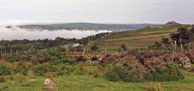
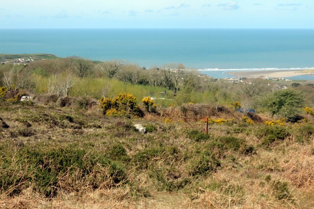
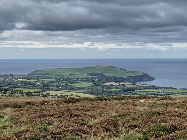
Carningli Common is a stunning expanse of moorland located in Pembrokeshire, Wales. Situated near the town of Newport, this area is characterized by rolling hills, heathland, and rocky outcrops. The common covers a large area, providing ample space for visitors to explore and enjoy the natural beauty of the Welsh countryside.

The landscape of Carningli Common is dotted with gorse bushes, heather, and grasses, creating a vibrant and colorful backdrop throughout the year. Visitors can expect to see a variety of wildlife, including birds of prey such as buzzards and kestrels, as well as sheep grazing on the hillsides.

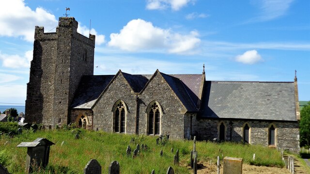
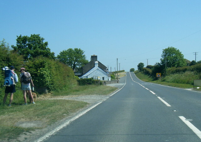
The common offers stunning views of the surrounding countryside, including the nearby Preseli Hills and the Pembrokeshire Coast National Park. Hikers and nature enthusiasts will find plenty of walking trails to explore, with opportunities to spot wildflowers, butterflies, and other flora and fauna along the way.

Overall, Carningli Common is a peaceful and picturesque destination for those looking to immerse themselves in the natural beauty of Pembrokeshire.

If you have any feedback on the listing, please let us know in the comments section below.

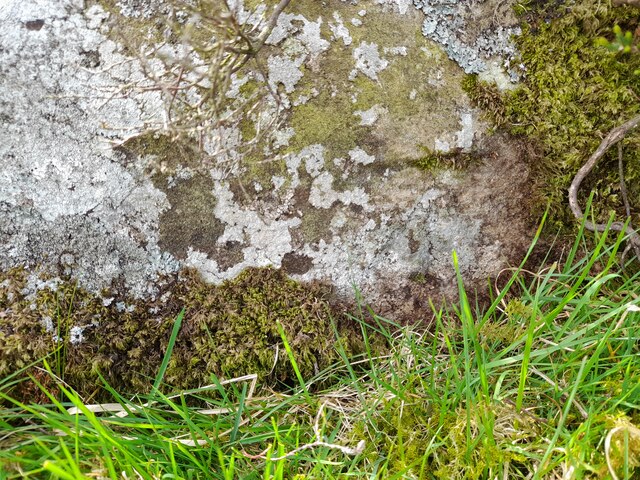
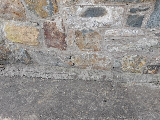
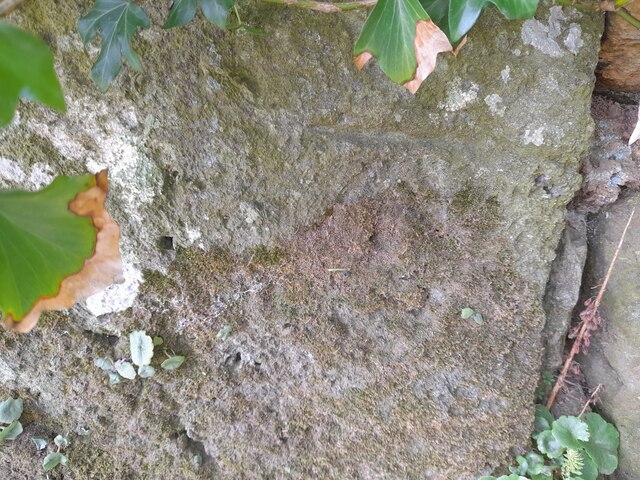
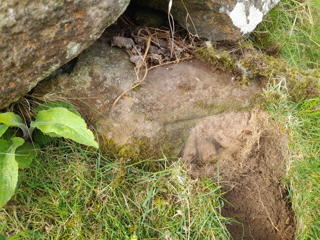
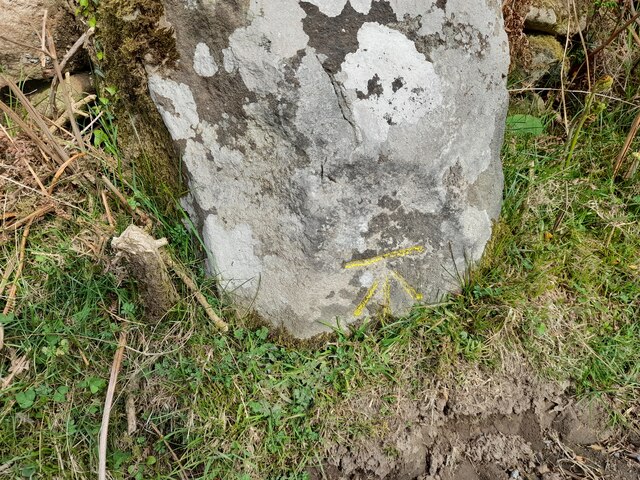
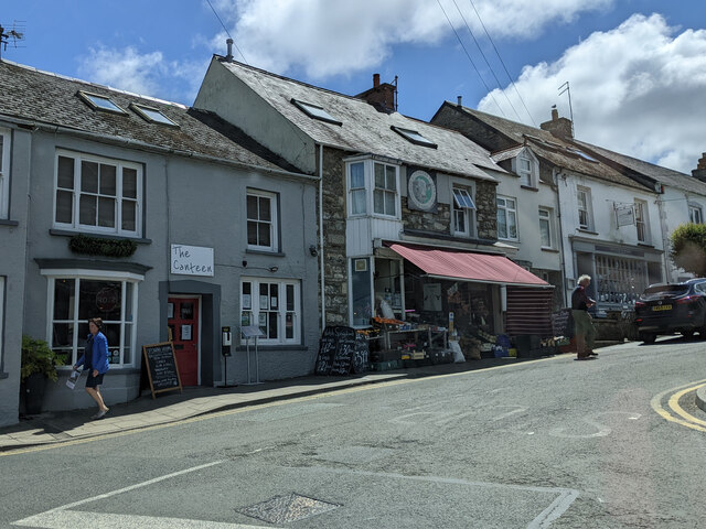
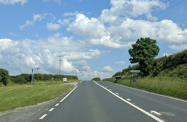
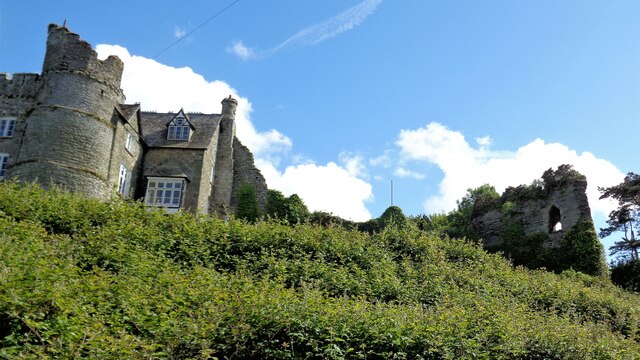
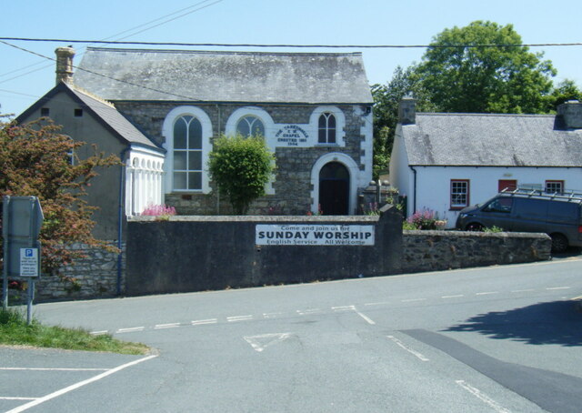
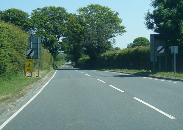
Carningli Common Images

Images are sourced within 2km of 52.000254/-4.8358317 or Grid Reference SN0537. Thanks to Geograph Open Source API. All images are credited.

Pont Ceunant: Newport Sea mist fills Newport Bay. In the foreground are the fields of the abandoned settlement of Pont Ceunant, one of half a dozen smallholdings that occupied this hillside in the nineteenth century. The nearest settlement now is Pen-lan-ceunant, left of centre.
Pont Ceunant: Newport
Sea mist fills Newport Bay. In the foreground are the fields of the abandoned settlement of Pont Ceunant, one of half a dozen smallholdings that occupied this hillside in the nineteenth century. The nearest settlement now is Pen-lan-ceunant, left of centre.
View towards Beeview Farm Area of land bordering Carningli Common that is being developed as a sustainable off-grid farming enterprise (selling eggs, honey, courses of instruction etc.) under the Welsh Government's One Planet Development Policy. The scheme has not been without controversy.
View towards Beeview Farm
Area of land bordering Carningli Common that is being developed as a sustainable off-grid farming enterprise (selling eggs, honey, courses of instruction etc.) under the Welsh Government's One Planet Development Policy. The scheme has not been without controversy.
Boundary Stone Boundary Stone next to the cattle grid.
Boundary Stone
Boundary Stone next to the cattle grid.
Boundary Stone
Boundary Stone
Ordnance Survey Cut Mark This OS cut mark can be found on a stone in the old bank. It marks a point 966.6ft above mean sea level.
Ordnance Survey Cut Mark
This OS cut mark can be found on a stone in the old bank. It marks a point 966.6ft above mean sea level.
Ordnance Survey Cut Mark This OS cut mark can be found on Belmont SW side of Ffordd Glgwyn. It marks a point 98.789m above mean sea level.
Ordnance Survey Cut Mark
This OS cut mark can be found on Belmont SW side of Ffordd Glgwyn. It marks a point 98.789m above mean sea level.
Ordnance Survey Cut Mark This OS cut mark can be found on a large stone SW side of Ffordd Glgwyn. It marks a point 85.859m above mean sea level.
Ordnance Survey Cut Mark
This OS cut mark can be found on a large stone SW side of Ffordd Glgwyn. It marks a point 85.859m above mean sea level.
Ordnance Survey Cut Mark This OS cut mark can be found on the wall next to the gateway. It marks a point 627.4ft above mean sea level.
Ordnance Survey Cut Mark
This OS cut mark can be found on the wall next to the gateway. It marks a point 627.4ft above mean sea level.
Ordnance Survey Cut Mark This OS cut mark can be found on a large stone west side of the road. It marks a point 579.1ft above mean sea level.
Ordnance Survey Cut Mark
This OS cut mark can be found on a large stone west side of the road. It marks a point 579.1ft above mean sea level.
Market Street, Newport
Lane junction for Feidr Brenin on the A487, heading east
Newport Castle Remains Part of the gatehouse (now a house) and the south curtain wall
Newport Castle Remains
Part of the gatehouse (now a house) and the south curtain wall
Church of St Mary
Church of St Mary
Golygfa o Ffordd Bedd Morris View from the road towards the coast and Dinas Head.
Golygfa o Ffordd Bedd Morris
View from the road towards the coast and Dinas Head.
The Dairy, Trefdraeth The old dairy has been renovated as a holiday cottage
The Dairy, Trefdraeth
The old dairy has been renovated as a holiday cottage
A487 west of Newport
The Tabernacle Chapel, Newport
A487 east of Newport
Show me another place!

Carningli Common is located at Grid Ref: SN0537 (Lat: 52.000254, Lng: -4.8358317)

Unitary Authority: Pembrokeshire

Police Authority: Dyfed Powys

What 3 Words

///incursion.newsprint.chucked. Near Newport, Pembrokeshire

Nearby Locations

Carningli Common Carn Briw

Related Wikis

Carn Ingli

Carn Ingli (Welsh: [karn ˈɪŋli]) is a Site of Special Scientific Interest (SSSI) in the Preseli Hills, Pembrokeshire, Wales. It was designated a SSSI in...

Mynydd Carningli

Mynydd Carningli is a mountain in the Preseli Hills near the town of Newport, Pembrokeshire, Wales. It has both prehistoric and historic remains. ��2...

Brithdir Mawr

Brithdir Mawr is an intentional community in Pembrokeshire, South Wales. == Community == The community is based on an 80 acres (32 ha) farm. It is currently...

Gallt Llanerch - Coed Gelli-deg

Gallt Llanerch - Coed Gelli-deg is a Site of Special Scientific Interest (or SSSI) in the Gwaun Valley, Pembrokeshire, South Wales. It has been designated...

Nearby Amenities

Located within 500m of 52.000254,-4.8358317
Mynydd Carningli
Ele: 340
Natural: peak
Source: GPS Survey
Lat/Long: 51.9979449/-4.832726
The data included in this document is from www.openstreetmap.org. The data is made available under ODbL.

Have you been to Carningli Common?

Leave your review of Carningli Common below (or comments, questions and feedback).