Spite Moor
Downs, Moorland in Pembrokeshire
Wales
Spite Moor
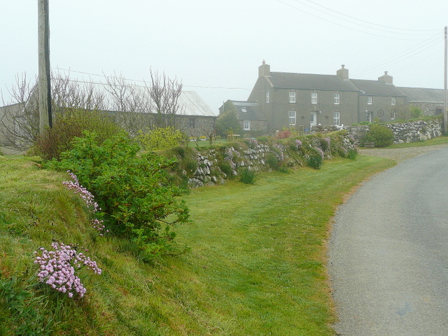
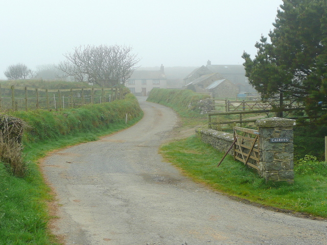
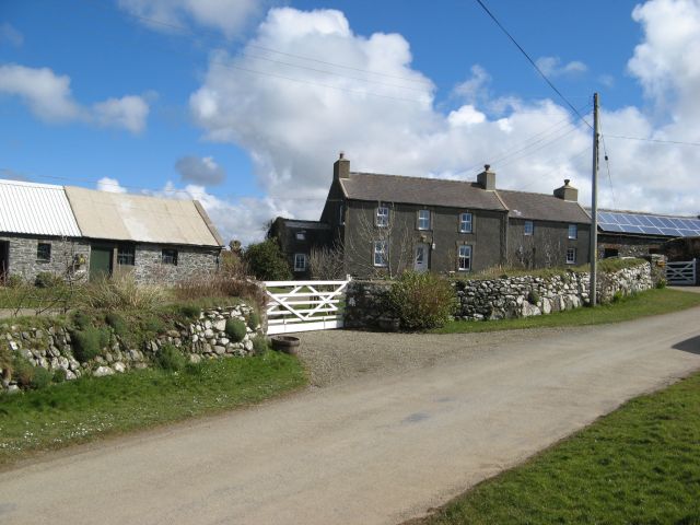
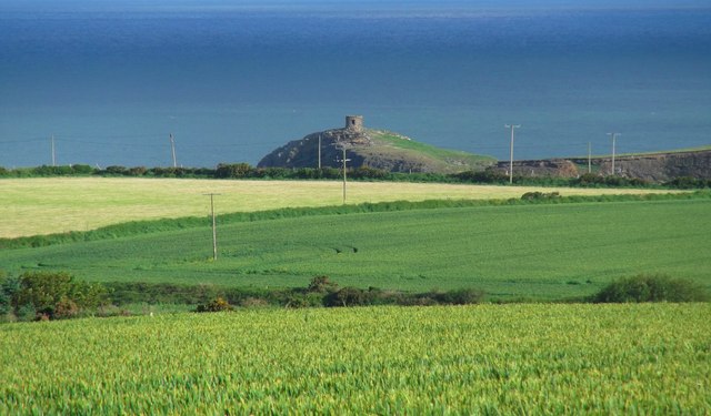
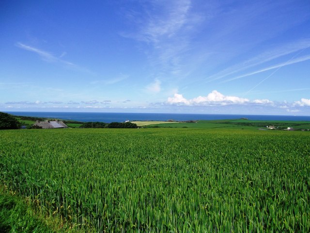
Spite Moor is a vast expanse of downs and moorland located in the county of Pembrokeshire, Wales. Stretching over an area of approximately 500 hectares, it is a place of natural beauty and historical significance. The moorland is situated within the Pembrokeshire Coast National Park, which is renowned for its stunning landscapes and diverse ecosystems.
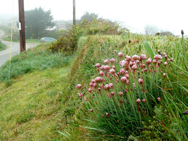
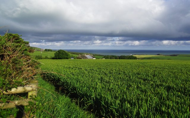
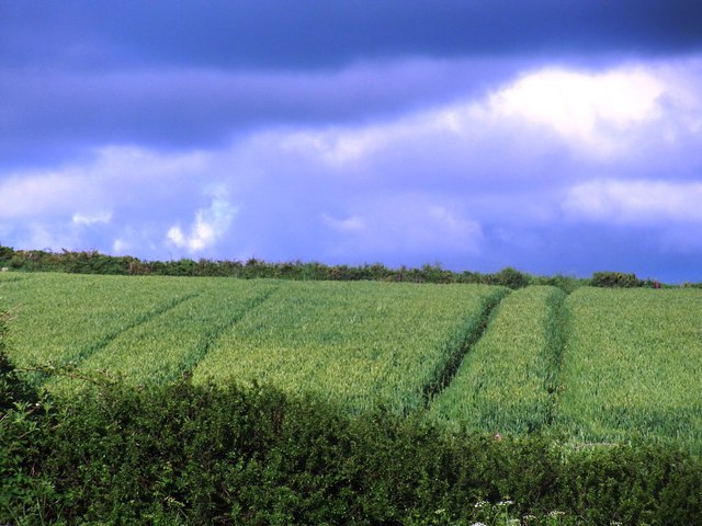
Spite Moor is characterized by its undulating terrain, dominated by heather and gorse-covered hills, interspersed with areas of wetland and open grassland. The moorland is home to a rich variety of plant and animal species, including several rare and protected species. It provides an important habitat for birds such as curlews, red kites, and skylarks, making it a popular destination for birdwatchers and nature enthusiasts.
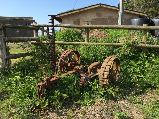
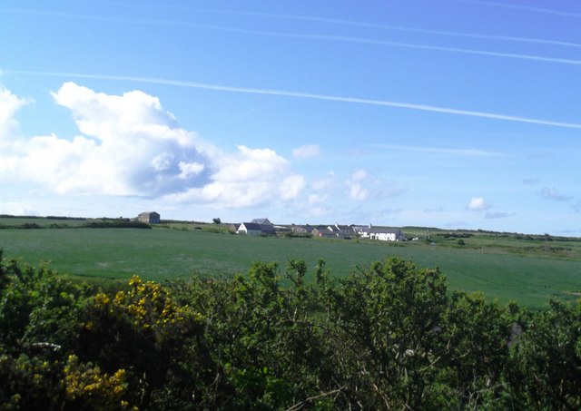
The history of Spite Moor is deeply intertwined with the local community. It has been used for centuries as common grazing land, and evidence of ancient settlements and burial sites can still be found scattered across the moorland. The moor is also believed to have played a role in the medieval iron industry, with remains of ironworks and charcoal platforms indicating its historical significance.
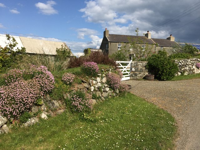
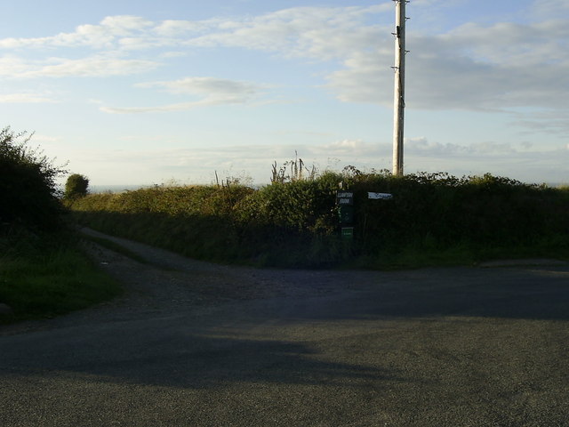
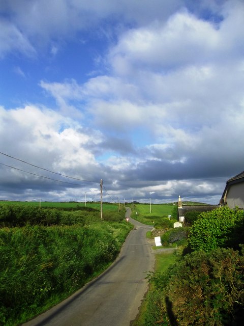
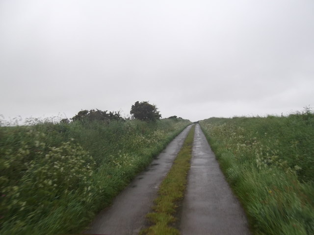
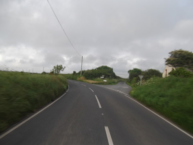
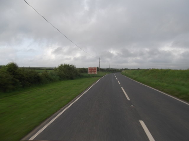
Today, Spite Moor offers visitors a tranquil and unspoiled environment to explore. It boasts a network of walking trails and bridleways, allowing visitors to discover its hidden gems and enjoy breathtaking views of the surrounding countryside. Whether it is a leisurely stroll or an adventurous hike, Spite Moor offers something for everyone, making it a cherished destination for nature lovers and history enthusiasts alike.
If you have any feedback on the listing, please let us know in the comments section below.
Spite Moor Images
Images are sourced within 2km of 51.913123/-5.191432 or Grid Reference SM8028. Thanks to Geograph Open Source API. All images are credited.

Spite Moor is located at Grid Ref: SM8028 (Lat: 51.913123, Lng: -5.191432)
Unitary Authority: Pembrokeshire
Police Authority: Dyfed Powys
What 3 Words
///gradually.total.emails. Near Llanrhian, Pembrokeshire
Nearby Locations
Related Wikis

Croes-goch
Croes-goch (also spelled Croesgoch) is a village in North Pembrokeshire, West Wales. It is situated on the A487 between Fishguard and St David's. It lies...

Caerfarchell
Caerfarchell (Welsh pronunciation: [kaɪrvɑːrxɛɬ]) is a small village in Pembrokeshire, Wales, 3 miles northeast of St Davids, close by the A487 road. It...

Abereiddy
Abereiddy (Welsh: Abereddi) is a hamlet in the county of Pembrokeshire, in west Wales.It has a small beach which was awarded the Blue flag rural beach...

Arfordir Abereiddi
Arfordir Abereiddi is a Site of Special Scientific Interest (SSSI) in Pembrokeshire, South Wales. It has been designated as a Site of Special Scientific...

Portheiddy Moor
Portheiddy Moor is a Site of Special Scientific Interest (or SSSI) a little to the east of Abereiddy in Pembrokeshire, South Wales. It has been designated...

Solva Woollen Mill
Solva Woollen Mill is a woollen mill in the village of Middle Mill, about one mile from Solva, Pembrokeshire, Wales, that has been in operation since 1907...

Llanrhian
Llanrhian is a small village, community and parish in Pembrokeshire in west Wales, near the coast, south of Porthgain village. The community of Llanrhian...

RAF St Davids
Royal Air Force St Davids, or more simply RAF St Davids, is a former Royal Air Force station, near the city of St Davids, Pembrokeshire, Wales, in the...
Nearby Amenities
Located within 500m of 51.913123,-5.191432Have you been to Spite Moor?
Leave your review of Spite Moor below (or comments, questions and feedback).