Nancekuke Common

Downs, Moorland in Cornwall

England

Nancekuke Common

Chimney, Porthtowan Valley This apparently isolated chimney is behind some houses on a bridleway and is in the vicinity of Tywarnhayle Mine but not necessarily connected.
Chimney, Porthtowan Valley Credit: Chris Allen

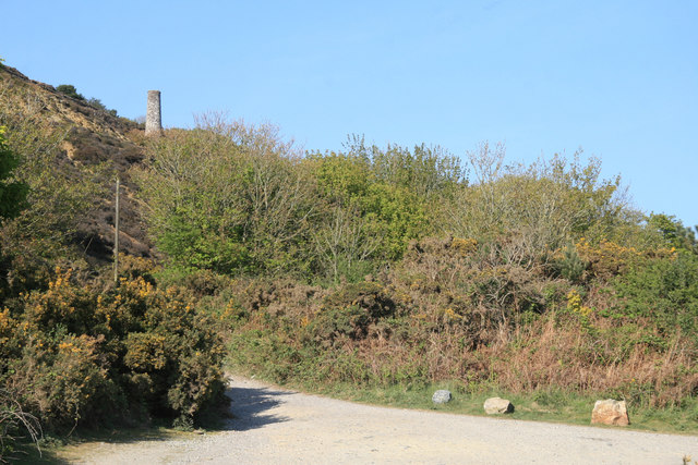
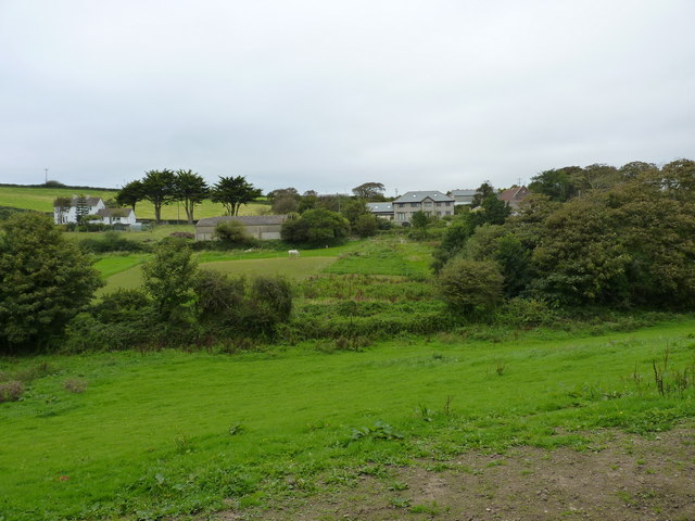
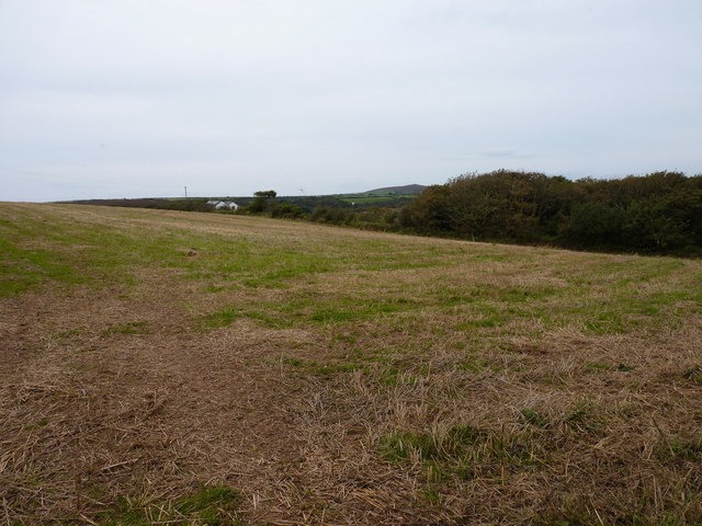
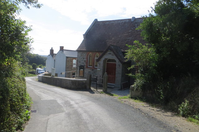
Nancekuke Common is a large area of common land located in Cornwall, England. Situated near the town of Redruth, the common covers a mix of downs and moorland terrain, providing a diverse and picturesque landscape for visitors to explore.

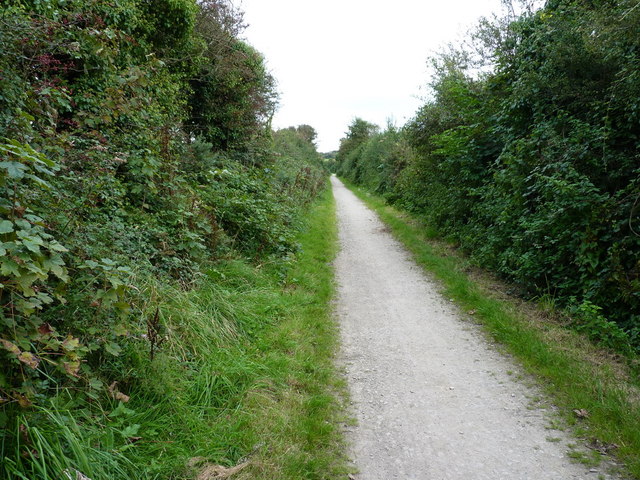
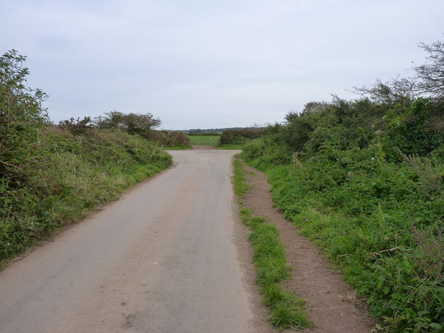
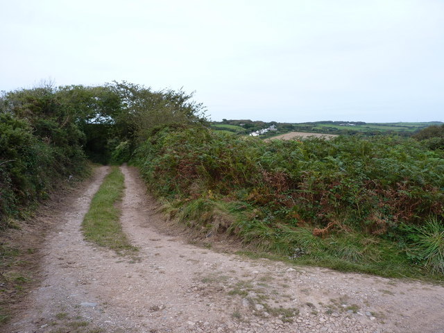
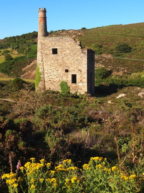
The common is home to a variety of flora and fauna, including heather, gorse, and grasses, as well as numerous species of birds and insects. The open expanses of the downs offer stunning views of the surrounding countryside, while the moorland areas are dotted with rocky outcrops and patches of woodland.

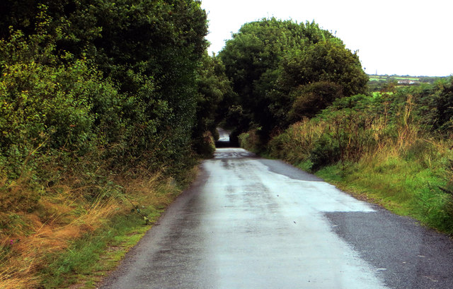
Nancekuke Common is a popular destination for outdoor enthusiasts, with many walking and hiking trails crisscrossing the area. Visitors can enjoy a leisurely stroll through the peaceful countryside, or challenge themselves with a more strenuous hike up the steep hillsides.

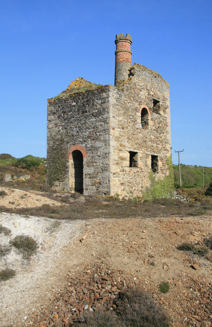
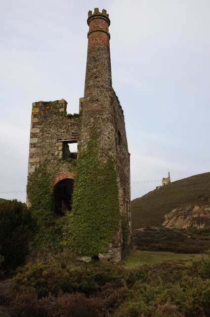
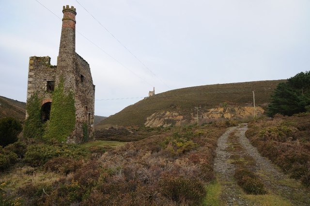
In addition to its natural beauty, Nancekuke Common also has a rich history, with evidence of mining activity dating back to the 18th century. The common is now a protected area, ensuring that its unique landscape and wildlife are preserved for future generations to enjoy.

If you have any feedback on the listing, please let us know in the comments section below.

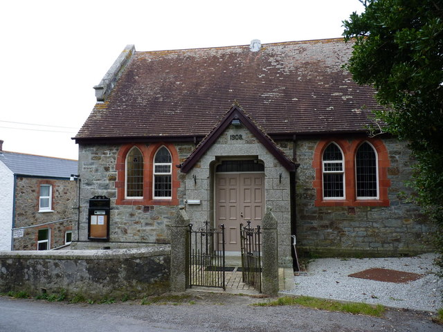
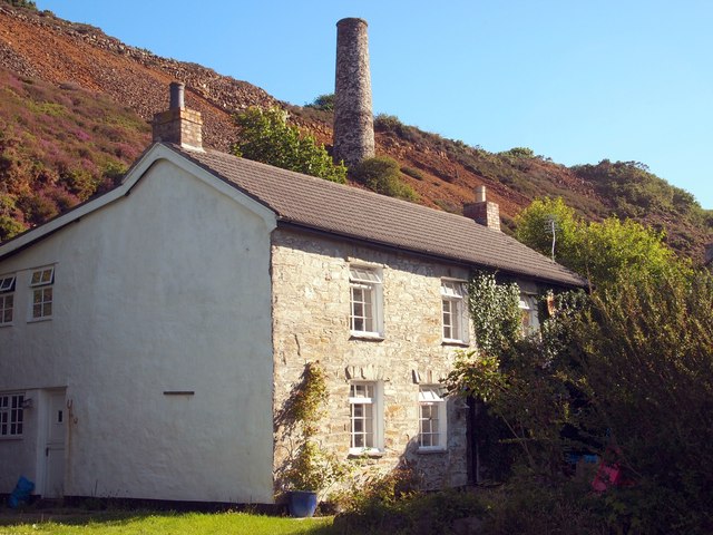
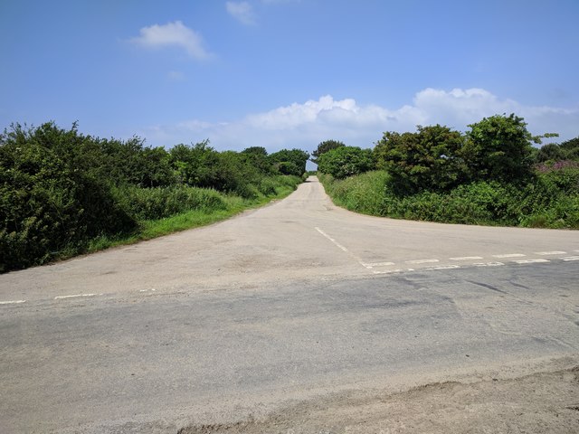
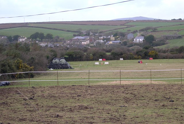
Nancekuke Common Images

Images are sourced within 2km of 50.274522/-5.2431364 or Grid Reference SW6946. Thanks to Geograph Open Source API. All images are credited.

Chimney, Porthtowan Valley This apparently isolated chimney is behind some houses on a bridleway and is in the vicinity of Tywarnhayle Mine but not necessarily connected.
Chimney, Porthtowan Valley
This apparently isolated chimney is behind some houses on a bridleway and is in the vicinity of Tywarnhayle Mine but not necessarily connected.
Wheal Ellen This engine house is on the site of Wheal Ellen (1834-1862) and was built in 1866 to house a 70 inch pumping engine but the venture failed before it was ever installed. The castellated chimney is unusual if not unique in Cornwall.
Wheal Ellen
This engine house is on the site of Wheal Ellen (1834-1862) and was built in 1866 to house a 70 inch pumping engine but the venture failed before it was ever installed. The castellated chimney is unusual if not unique in Cornwall.
Mawla from the southwest
Mawla Methodist Church A small church in the village, built in 1908.
Mawla Methodist Church
A small church in the village, built in 1908.
Mawla Methodist Church The main entrance and eastern elevation of the small church.
Mawla Methodist Church
The main entrance and eastern elevation of the small church.
The Portreath Tramroad near Mawla The tramroad originally connected the tin and copper mines in the hills around Redruth and Camborne with the sea at Portreath, which has a good harbour for export. It's now converted to a footpath and cycleway, part of an extensive network of old mine roads in the district.
The Portreath Tramroad near Mawla
The tramroad originally connected the tin and copper mines in the hills around Redruth and Camborne with the sea at Portreath, which has a good harbour for export. It's now converted to a footpath and cycleway, part of an extensive network of old mine roads in the district.
Road junction at Mawla Lane End
Track towards Manor Parsley Farm
Farmland above Manor Parsley
A rainy day A narrow wet Cornish lane at Mawla north of Redruth.
A rainy day
A narrow wet Cornish lane at Mawla north of Redruth.
Minor road House for sale on a lane at Manor Parsley.
Minor road
House for sale on a lane at Manor Parsley.
Sunny day at Mawla Houses at Mawla with the Methodist church behind.
Sunny day at Mawla
Houses at Mawla with the Methodist church behind.
Mawla Methodist Church A panel on the notice board says 1908.
Mawla Methodist Church
A panel on the notice board says 1908.
Wheal Ellen Mine Wheal Ellen Mine dates from the mid 18th century and is situated a mile or so inland from Porth Towan.
Wheal Ellen Mine
Wheal Ellen Mine dates from the mid 18th century and is situated a mile or so inland from Porth Towan.
Wheal Ellen Mine Wheal Ellen Mine dates from the mid 18th century and is about a mile or so inland from Porth Towan.
Wheal Ellen Mine
Wheal Ellen Mine dates from the mid 18th century and is about a mile or so inland from Porth Towan.
Engine House, Wheal Ellen
Dwelling Near Tywarnhayle Mine The chimney in the background was associated with the crusher house of the mine.  I'm not sure if the house was also associated with the mine.
Dwelling Near Tywarnhayle Mine
The chimney in the background was associated with the crusher house of the mine. I'm not sure if the house was also associated with the mine.
Lane junction near Mawla
Show me another place!

Nancekuke Common is located at Grid Ref: SW6946 (Lat: 50.274522, Lng: -5.2431364)

Unitary Authority: Cornwall

Police Authority: Devon and Cornwall

What 3 Words

///crank.fended.blurts. Near Mount Hawke, Cornwall

Nearby Locations

Nancekuke Common

Related Wikis

Porthtowan

Porthtowan (Standard Written Form: Porth Tewyn, meaning cove of sand dunes) is a small village in Cornwall, UK, which is a popular summer tourist destination...

Cambrose

Cambrose is a hamlet east of Portreath in west Cornwall, England, UK.Cambrose is the location of Sally's Bottom, a small valley running down to the coast...

Mawla, Cornwall

Mawla is a village south of Porthtowan in Cornwall, England, UK. The earliest record of Mawla is in 960 AD; the meaning of the name is "pigs' place". It...

RRH Portreath

Remote Radar Head Portreath or RRH Portreath is an air defence radar station operated by the Royal Air Force. It has a coastal location at Nancekuke Common...

Nearby Amenities

Located within 500m of 50.274522,-5.2431364
Place Of Worship
Chapel on the Hill
Addr Postcode: TR4 8AS
Denomination: methodist
Religion: christian
Lat/Long: 50.277922/-5.2398182
206
Cmt: 30-MAY-11 14:22:34
Description: 30-MAY-11 14:22:34
Ele: 96.978027
Sym: Campground
Tourism: camp_site
Lat/Long: 50.2742298/-5.2378285
Post Box
Collection Times: Mo-Fr 09:00; Sa 07:00; Su off
Drive Through: no
Operator: Royal Mail
Operator Wikidata: Q638098
Post Box Design: type_c
Post Box Mounting: stone_wall
Post Box Type: wall
Ref: TR4 178D
Royal Cypher: VR
Royal Cypher Wikidata: Q33102356
Source: survey;aerial imagery
Lat/Long: 50.2775874/-5.239908
The data included in this document is from www.openstreetmap.org. The data is made available under ODbL.

Have you been to Nancekuke Common?

Leave your review of Nancekuke Common below (or comments, questions and feedback).