Laity Moor
Downs, Moorland in Cornwall
England
Laity Moor
The requested URL returned error: 429 Too Many Requests
If you have any feedback on the listing, please let us know in the comments section below.
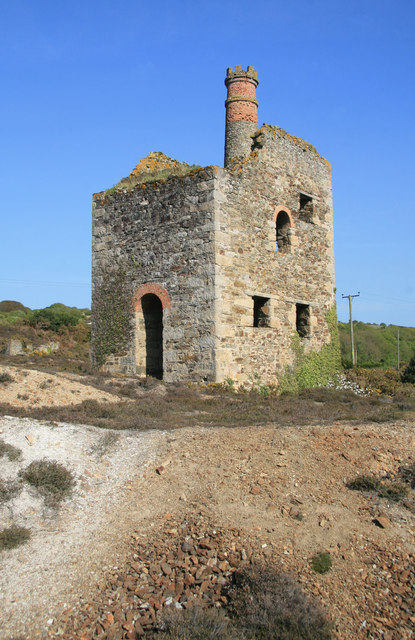
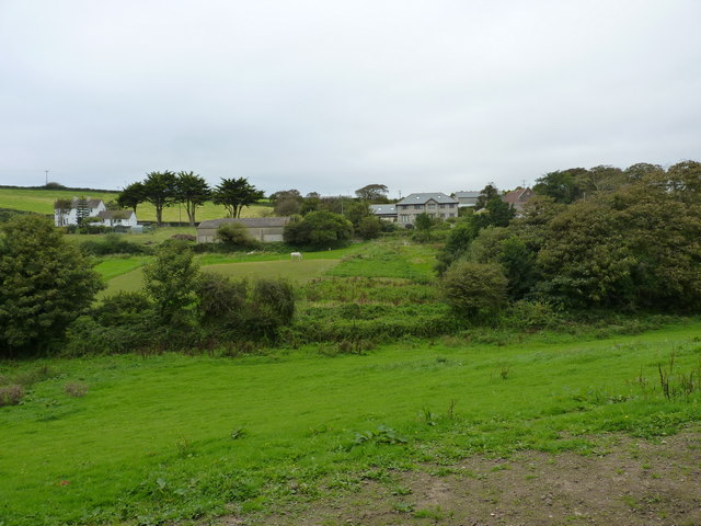
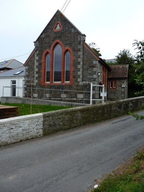
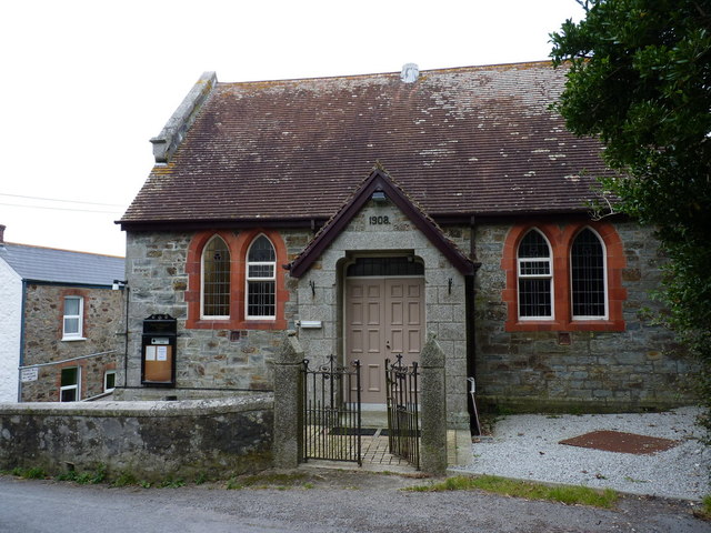
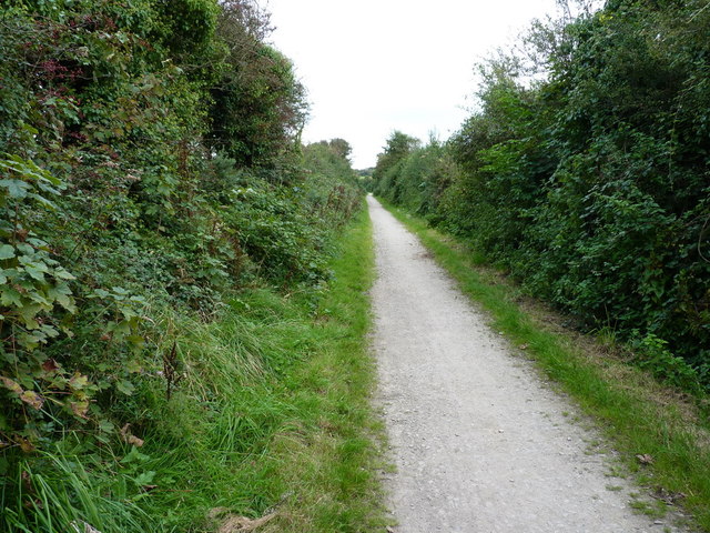
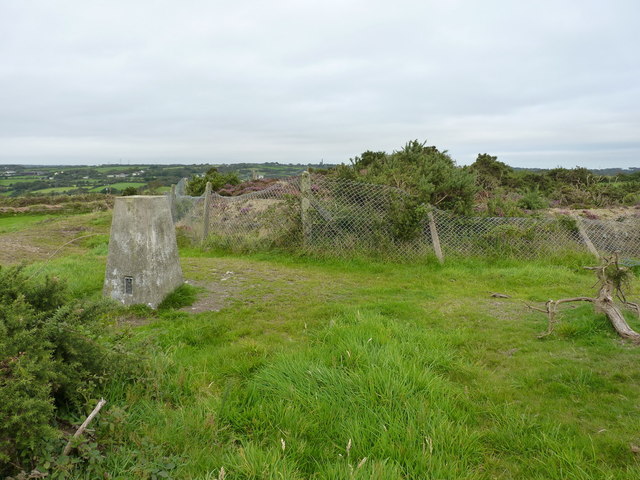
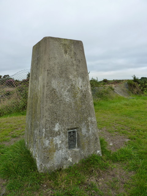
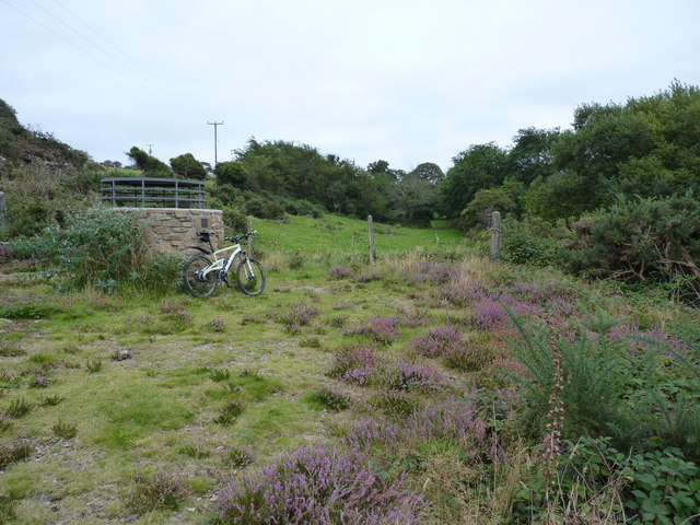
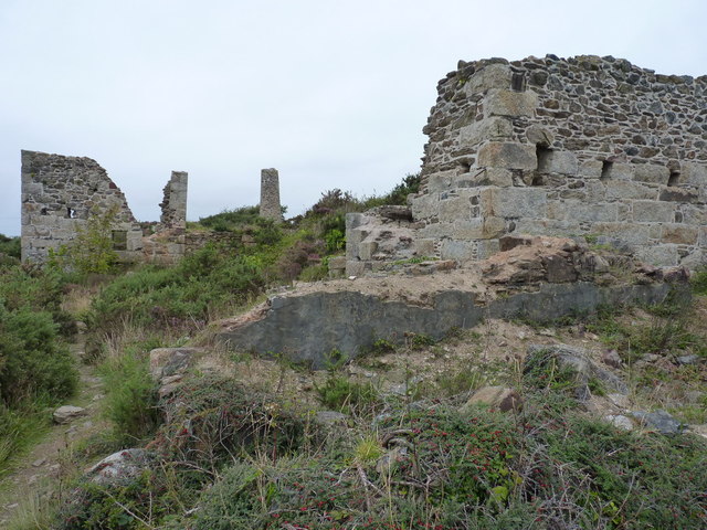
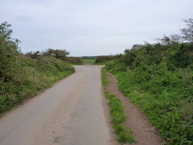
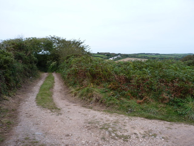
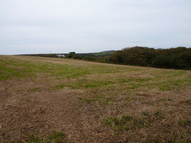
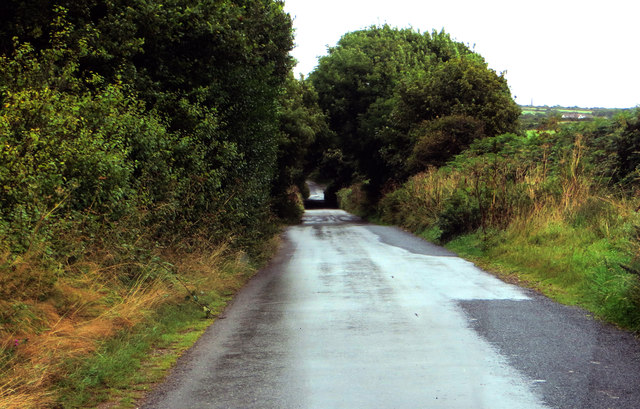
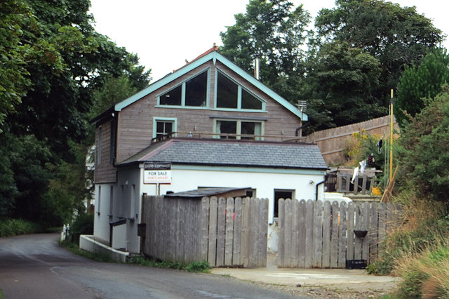
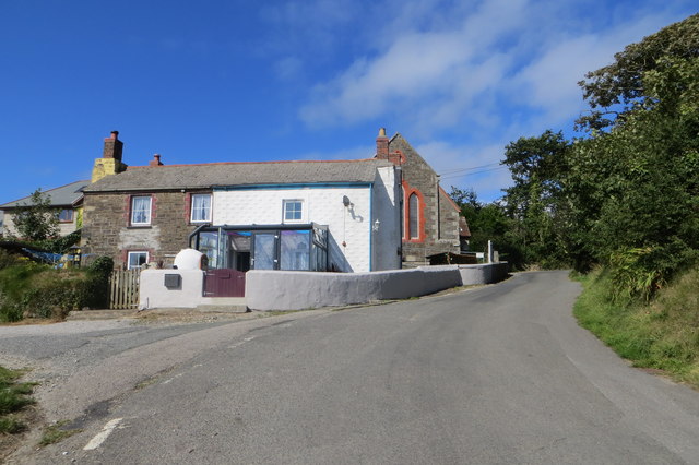
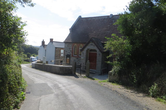
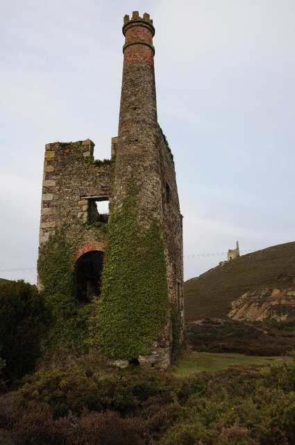
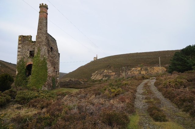
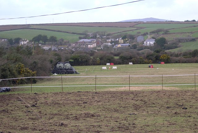
Laity Moor Images
Images are sourced within 2km of 50.26366/-5.2416541 or Grid Reference SW6945. Thanks to Geograph Open Source API. All images are credited.
Laity Moor is located at Grid Ref: SW6945 (Lat: 50.26366, Lng: -5.2416541)
Unitary Authority: Cornwall
Police Authority: Devon and Cornwall
What 3 Words
///posting.delays.skipped. Near Mount Hawke, Cornwall
Nearby Locations
Related Wikis

Cambrose
Cambrose is a hamlet east of Portreath in west Cornwall, England, UK.Cambrose is the location of Sally's Bottom, a small valley running down to the coast...

Forge, Cornwall
Forge is a hamlet in the parish of Redruth, Cornwall, England. == References ==
Parc Erissey
Parc Erissey is a hamlet north of Redruth, Cornwall, England. == References ==
Mawla, Cornwall
Mawla is a village south of Porthtowan in Cornwall, England, UK. The earliest record of Mawla is in 960 AD; the meaning of the name is "pigs' place". It...
Nearby Amenities
Located within 500m of 50.26366,-5.2416541Have you been to Laity Moor?
Leave your review of Laity Moor below (or comments, questions and feedback).