Grysmwnt, Y
Settlement in Monmouthshire
Wales
Grysmwnt, Y
The requested URL returned error: 429 Too Many Requests
If you have any feedback on the listing, please let us know in the comments section below.
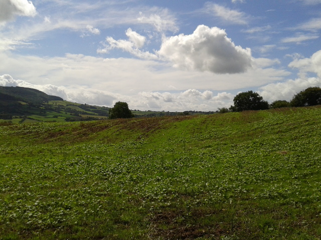
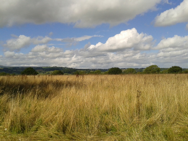
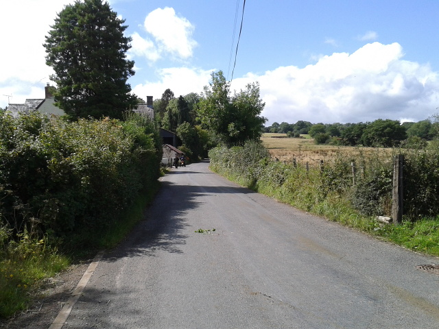
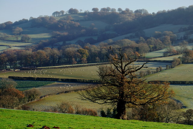
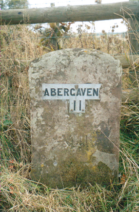
Grysmwnt, Y Images
Images are sourced within 2km of 51.911285/-2.873658 or Grid Reference SO4024. Thanks to Geograph Open Source API. All images are credited.


Grysmwnt, Y is located at Grid Ref: SO4024 (Lat: 51.911285, Lng: -2.873658)
Unitary Authority: Monmouthshire
Police Authority: Gwent
Also known as: Grosmont
What 3 Words
///bidder.homelands.pioneered. Near Grosmont, Monmouthshire
Nearby Locations
Related Wikis
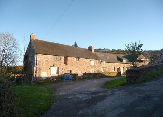
Great Tresenny Farmhouse
Great Tresenny Farmhouse, Grosmont, Monmouthshire is a farmhouse dating from c.1600. Situated just to the south of the village, the farmhouse is a Grade...
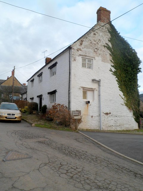
Town Farm, Grosmont
Town Farm, Grosmont, Monmouthshire is a farmhouse dating from the 17th century. It is a Grade II* listed building. == History == The farmhouse is dated...

Church of St Nicholas, Grosmont
The Church of St Nicholas in the village of Grosmont, Monmouthshire, Wales, is a parish church dating from the 13th century. Its exceptional size reflects...
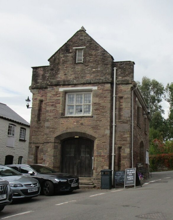
Grosmont Town Hall
Grosmont Town Hall (Welsh: Neuadd y Dref Y Grysmwnt) is a municipal building in Grosmont, Monmouthshire, Wales. The structure, which is the meeting place...
Nearby Amenities
Located within 500m of 51.911285,-2.873658Have you been to Grysmwnt, Y?
Leave your review of Grysmwnt, Y below (or comments, questions and feedback).