Guard House
Settlement in Yorkshire
England
Guard House
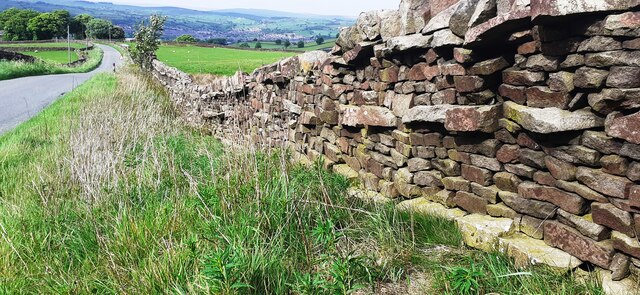
Guard House is a small village located in the county of Yorkshire, England. Situated in the picturesque countryside, Guard House is known for its charming and tranquil atmosphere. The village is surrounded by rolling hills and lush greenery, making it a popular destination for those seeking a peaceful retreat from the hustle and bustle of city life.
Guard House is home to a close-knit community of residents who take pride in their village and its rich history. The village is dotted with quaint cottages and traditional English pubs, adding to its authentic charm. The local church, St. Mary's, is a prominent feature in Guard House and serves as a gathering place for residents to come together for worship and community events.
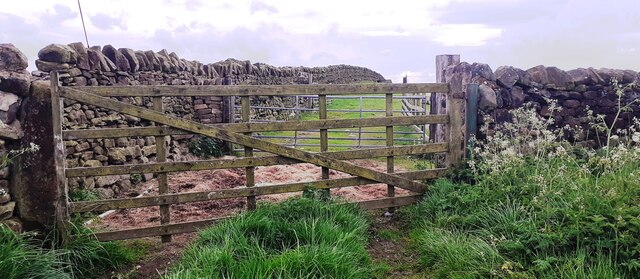
Visitors to Guard House can enjoy leisurely walks along the village's winding lanes, taking in the stunning views of the surrounding countryside. The village is also a popular starting point for hikers and cyclists looking to explore the nearby Yorkshire Dales National Park.
Overall, Guard House offers a peaceful and idyllic setting for those looking to experience the beauty of rural Yorkshire.
If you have any feedback on the listing, please let us know in the comments section below.
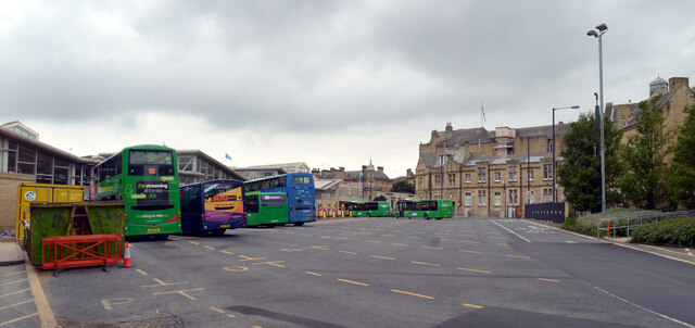
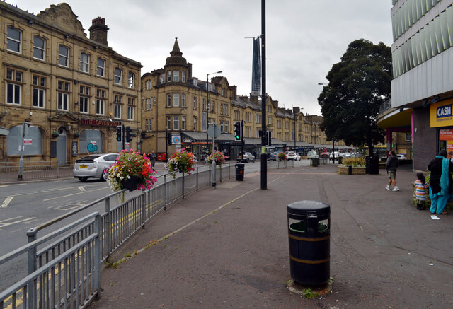
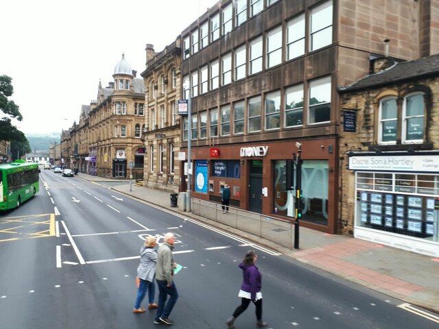
Guard House Images
Images are sourced within 2km of 53.868253/-1.935335 or Grid Reference SE0441. Thanks to Geograph Open Source API. All images are credited.


Guard House is located at Grid Ref: SE0441 (Lat: 53.868253, Lng: -1.935335)
Division: West Riding
Unitary Authority: Bradford
Police Authority: West Yorkshire
What 3 Words
///admire.gentle.sting. Near Keighley, West Yorkshire
Nearby Locations
Related Wikis
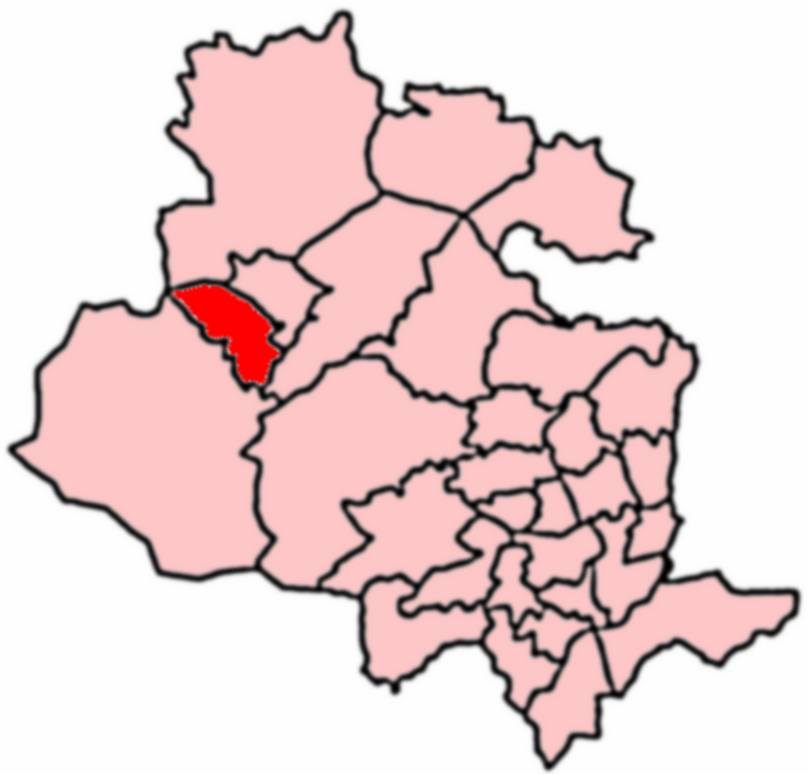
Keighley West
Keighley West (population 15,784 - 2001 UK census) is a ward within the City of Bradford Metropolitan District Council in the county of West Yorkshire...

Laycock, West Yorkshire
Laycock is a small village in the Bradford District of West Yorkshire that overlooks the hamlet of Goose Eye. The village is 1.9 miles (3 km) west of the...
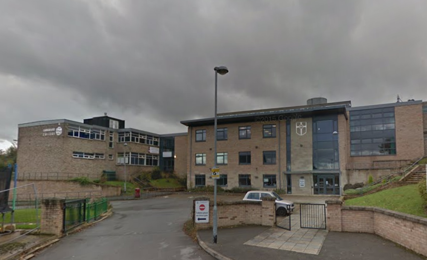
Holy Family Catholic School, Keighley
The Holy Family Catholic School is a coeducational Roman Catholic secondary school and sixth form serving the parishes and communities in and around the...

Keighley
Keighley ( KEETH-lee) is a market town and a civil parish in the City of Bradford Borough of West Yorkshire, England. It is the second largest settlement...
Nearby Amenities
Located within 500m of 53.868253,-1.935335Have you been to Guard House?
Leave your review of Guard House below (or comments, questions and feedback).