Sliabhan Riabhach
Downs, Moorland in Argyllshire
Scotland
Sliabhan Riabhach
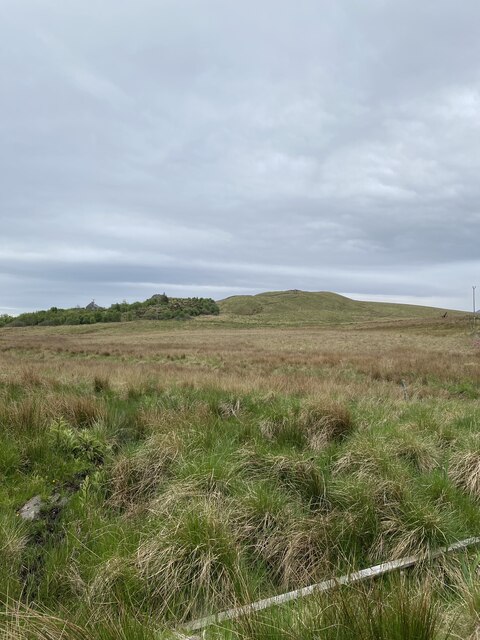
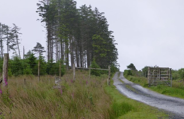
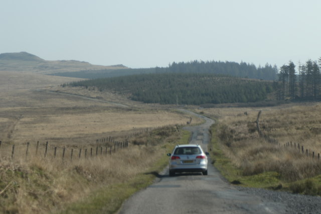
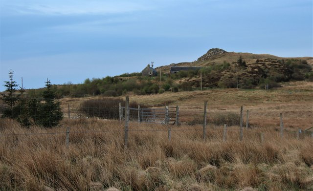
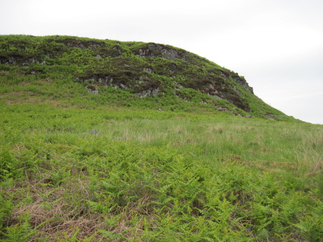
Sliabhan Riabhach, located in Argyllshire, Scotland, is a breathtaking natural landscape characterized by its downs and moorland. The area is renowned for its striking beauty and rugged terrain, attracting nature enthusiasts and outdoor adventurers alike.
The downs of Sliabhan Riabhach are rolling hills covered in lush green grass, providing a picturesque setting against the backdrop of the surrounding mountains. These gentle slopes offer stunning panoramic views of the surrounding landscape, making it a popular spot for hiking and photography.
The moorland, on the other hand, is a vast expanse of open, wild terrain characterized by heather, grasses, and peat bogs. This unique ecosystem supports a variety of flora and fauna, including rare and protected species such as red deer, golden eagles, and mountain hares. Exploring the moorland of Sliabhan Riabhach allows visitors to immerse themselves in the tranquility of nature and observe its diverse wildlife.
In addition to its natural beauty, Sliabhan Riabhach is also steeped in history. The area is dotted with ancient ruins, standing stones, and burial sites, providing a glimpse into the rich cultural heritage of the region. Explorers can uncover the mysteries of the past by visiting these archaeological sites and learning about the area's fascinating history.
Overall, Sliabhan Riabhach offers a captivating blend of natural wonders and cultural heritage. Its downs and moorland provide a picturesque setting for outdoor activities, while its historical sites add depth and intrigue to the experience. Whether one seeks adventure, tranquility, or a deeper connection to the past, Sliabhan Riabhach is a destination that promises to captivate and inspire.
If you have any feedback on the listing, please let us know in the comments section below.
Sliabhan Riabhach Images
Images are sourced within 2km of 55.800661/-6.0008007 or Grid Reference NR4963. Thanks to Geograph Open Source API. All images are credited.


Sliabhan Riabhach is located at Grid Ref: NR4963 (Lat: 55.800661, Lng: -6.0008007)
Unitary Authority: Argyll and Bute
Police Authority: Argyll and West Dunbartonshire
What 3 Words
///proof.spoiled.bearable. Near Craighouse, Argyll & Bute
Related Wikis

Ardfin
Ardfin is a country estate on the island of Jura, Inner Hebrides, Scotland. It is situated at the southern tip of the island, between Feolin and Craighouse...

Claig Castle
Claig Castle was a stronghold of the Clan Donald or MacDonald in the south of Scotland. == History == The castle was once a massive fort described as a...
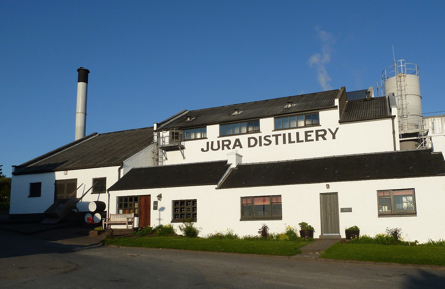
Jura distillery
Jura distillery is a Scotch whisky distillery on the island of Jura in the Inner Hebrides off the West Coast of Scotland. The distillery is operated by...

Craighouse
Craighouse (Scottish Gaelic: Taigh na Creige) is the main settlement and capital of the Scottish Inner Hebridean island of Jura, in Argyll and Bute. In...
Nearby Amenities
Located within 500m of 55.800661,-6.0008007Have you been to Sliabhan Riabhach?
Leave your review of Sliabhan Riabhach below (or comments, questions and feedback).