Creag Mhòr

Cliff, Slope in Argyllshire

Scotland

Creag Mhòr

Views West near Ath nam Marbh
Views West near Ath nam Marbh Credit: thejackrustles

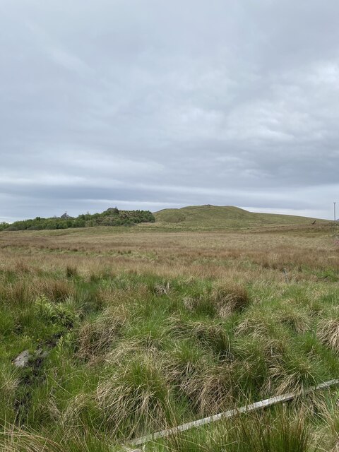
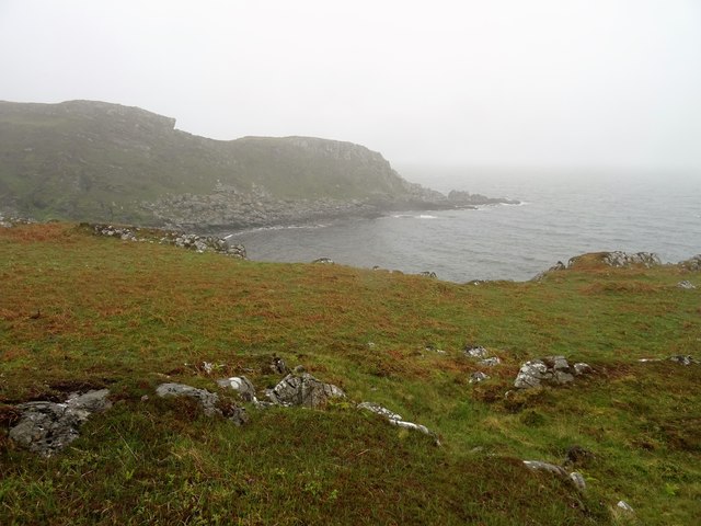
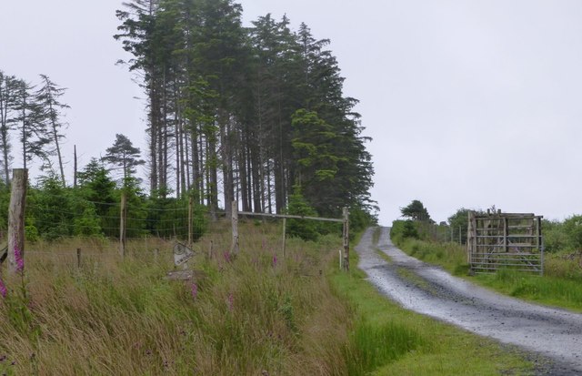
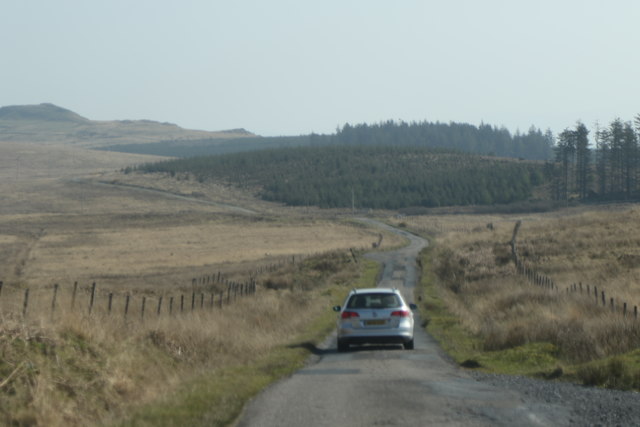
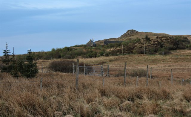
Creag Mhòr is a prominent cliff located in Argyllshire, Scotland. It is known for its steep slope and rugged terrain, making it a popular destination for hikers and rock climbers seeking a challenging ascent. The cliff is situated near the village of Arrochar, offering stunning views of Loch Long and the surrounding countryside.

The rock formations at Creag Mhòr are composed of ancient sandstone and schist, providing a unique and picturesque backdrop for outdoor enthusiasts. The cliff is home to a variety of plant and animal species, including rare mosses and lichens that thrive in the damp, misty climate of the Scottish Highlands.

Visitors to Creag Mhòr can enjoy a range of outdoor activities, from hiking and climbing to birdwatching and photography. The cliff is also a popular spot for wildlife enthusiasts, with sightings of peregrine falcons, golden eagles, and red deer common in the area.

Overall, Creag Mhòr is a stunning natural landmark in Argyllshire, offering visitors a chance to experience the rugged beauty of the Scottish countryside.

If you have any feedback on the listing, please let us know in the comments section below.

Creag Mhòr Images

Images are sourced within 2km of 55.796945/-6.00002 or Grid Reference NR4963. Thanks to Geograph Open Source API. All images are credited.

Views West near Ath nam Marbh
Track near Ath nam Marbh
Port Mhic Phoil Looking to the headland of Rubha Uamh an Tuill at the far southeast corner of Jura on a day of heavy showers and low cloud.
Port Mhic Phoil
Looking to the headland of Rubha Uamh an Tuill at the far southeast corner of Jura on a day of heavy showers and low cloud.
Access to the woods at Sannaig At Ath nam Marbh.
Access to the woods at Sannaig
At Ath nam Marbh.
Old Milestone by the A846, near Strone, Jura parish Stone post by the A846, in parish of Jura (Jura District), near Strone, 300m Southwest of forest on south, on banking over ditch, South side of road.

Inscription reads:-
: Feolin / 6 : : Craig- / house / 2 :

Surveyed

Milestone Society National ID: AB_JURA06
Old Milestone by the A846, near Strone, Jura parish
Stone post by the A846, in parish of Jura (Jura District), near Strone, 300m Southwest of forest on south, on banking over ditch, South side of road. Inscription reads:- : Feolin / 6 : : Craig- / house / 2 : Surveyed Milestone Society National ID: AB_JURA06
Approaching the Sannaig plantation Between Brosdale and Craighouse
Approaching the Sannaig plantation
Between Brosdale and Craighouse
The Sannaig plantation Between Brosdale and Craighouse
The Sannaig plantation
Between Brosdale and Craighouse
Strone, a small farm
Shoreline at Poll a' Cheo The rocky shoreline at Poll a' Cheo (Pool of Mist) on the Isle of Jura.
Shoreline at Poll a' Cheo
The rocky shoreline at Poll a' Cheo (Pool of Mist) on the Isle of Jura.
Strone farm Looking southwest from the A846.
Strone farm
Looking southwest from the A846.
On the A846 Looking ahead, it can just be seen that the forest at Dunan and Sannaig has been clear-felled, apart from the stand of trees showing above the cyclist.
On the A846
Looking ahead, it can just be seen that the forest at Dunan and Sannaig has been clear-felled, apart from the stand of trees showing above the cyclist.
March wall near Strone, Isle of Jura
Poll a Cheo Small bay on the south side of Jura
Poll a Cheo
Small bay on the south side of Jura
Rocks on beach at Poll a Cheo
Neolithic Chambered Cairn at Poll a' Cheò View towards Brosdale Island.
Neolithic Chambered Cairn at Poll a' Cheò
View towards Brosdale Island.
Standing Stone at Achadh-na-Lice (Field of the Slabs)
Newly planted trees Above Jura House.
Newly planted trees
Above Jura House.
Cattle grid Approaching Ardfin Farm.
Cattle grid
Approaching Ardfin Farm.
Show me another place!

Creag Mhòr is located at Grid Ref: NR4963 (Lat: 55.796945, Lng: -6.00002)

Unitary Authority: Argyll and Bute

Police Authority: Argyll and West Dunbartonshire

What 3 Words

///nature.blotches.binds. Near Craighouse, Argyll & Bute

Related Wikis

Ardfin

Ardfin is a country estate on the island of Jura, Inner Hebrides, Scotland. It is situated at the southern tip of the island, between Feolin and Craighouse...

Claig Castle

Claig Castle was a stronghold of the Clan Donald or MacDonald in the south of Scotland. == History == The castle was once a massive fort described as a...
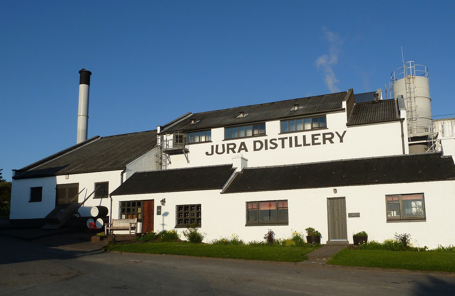
Jura distillery

Jura distillery is a Scotch whisky distillery on the island of Jura in the Inner Hebrides off the West Coast of Scotland. The distillery is operated by...

Craighouse

Craighouse (Scottish Gaelic: Taigh na Creige) is the main settlement and capital of the Scottish Inner Hebridean island of Jura, in Argyll and Bute. In...

Nearby Amenities

Located within 500m of 55.796945,-6.00002
Golf: pin
Lat/Long: 55.7981853/-6.0051419
Golf: pin
Lat/Long: 55.7979371/-6.0003515
Golf: pin
Lat/Long: 55.7976809/-5.9961352
Golf: pin
Lat/Long: 55.8002788/-6.0016441
Golf: pin
Lat/Long: 55.7986419/-6.004374
The data included in this document is from www.openstreetmap.org. The data is made available under ODbL.

Have you been to Creag Mhòr?

Leave your review of Creag Mhòr below (or comments, questions and feedback).