Acres

Downs, Moorland in Inverness-shire

Scotland

Acres

Varragill River from A87
Varragill River from A87 Credit: Hugh Venables

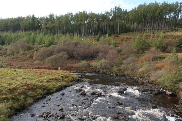
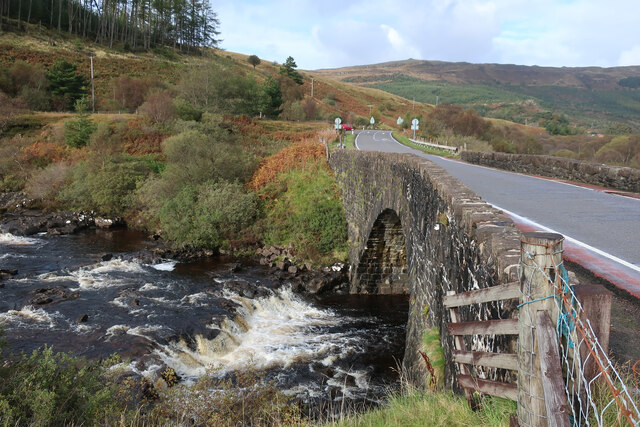
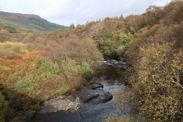
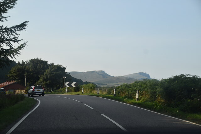
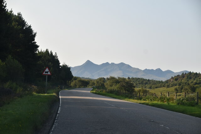
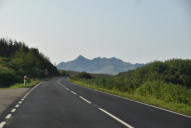
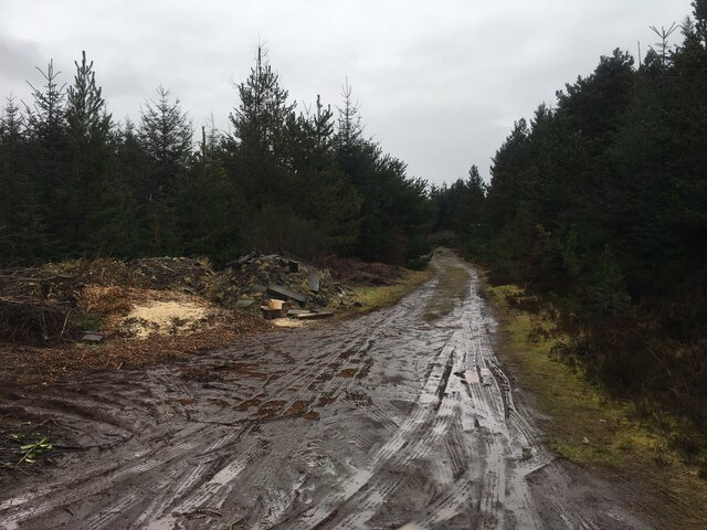
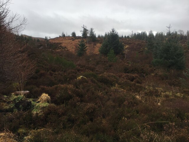
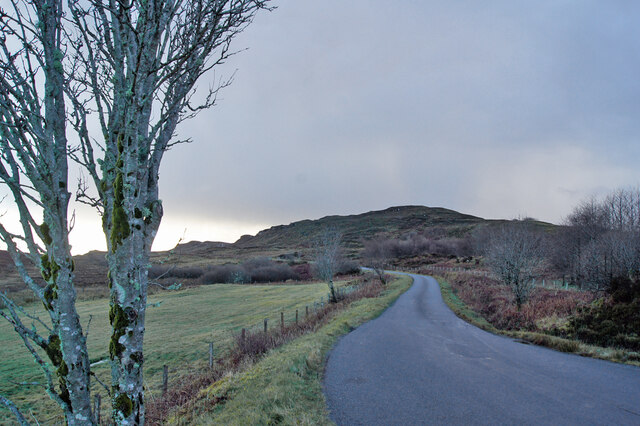
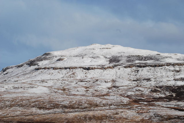
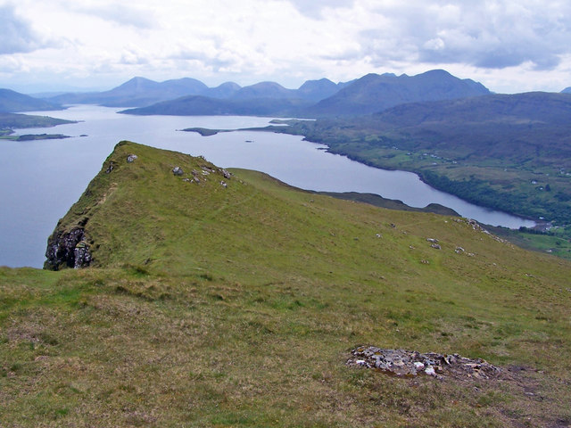
Acres, located in Inverness-shire, Scotland, is a vast expanse of land characterized by downs and moorland. The landscape is predominantly covered with heather, grasses, and shrubs, creating a picturesque and rugged terrain. The area is known for its rolling hills and open spaces, providing a habitat for a variety of wildlife such as deer, birds, and small mammals.

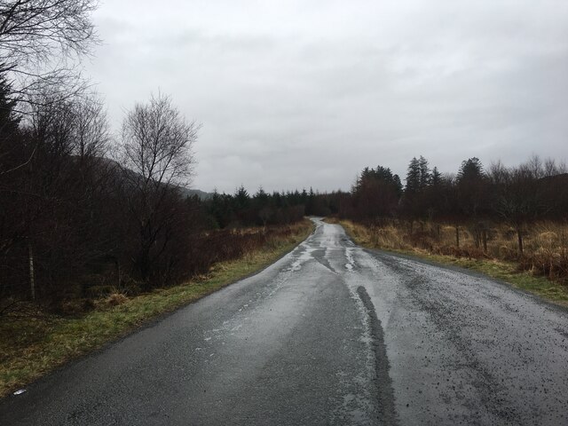
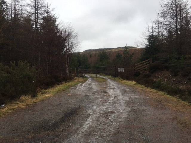
The climate in Acres is typically cool and damp, with frequent rain showers and misty conditions. This type of weather contributes to the lush greenery and thriving vegetation that can be found throughout the area. The land is largely undeveloped, with few buildings or infrastructure present, giving it a remote and untouched feel.

Acres is a popular destination for outdoor enthusiasts and nature lovers seeking to explore the natural beauty of the Scottish Highlands. Hiking, birdwatching, and photography are common activities enjoyed by visitors to the area. The peaceful and serene atmosphere of Acres makes it an ideal location for those looking to escape the hustle and bustle of city life and immerse themselves in the tranquility of the countryside.

If you have any feedback on the listing, please let us know in the comments section below.

Acres Images

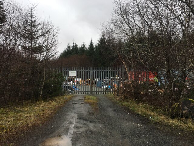
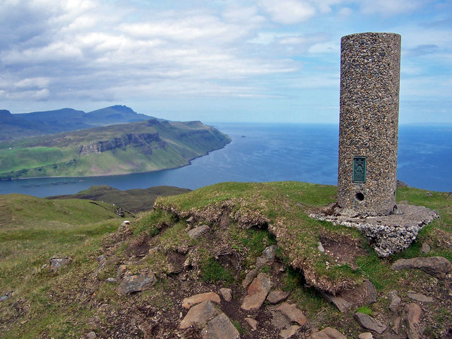
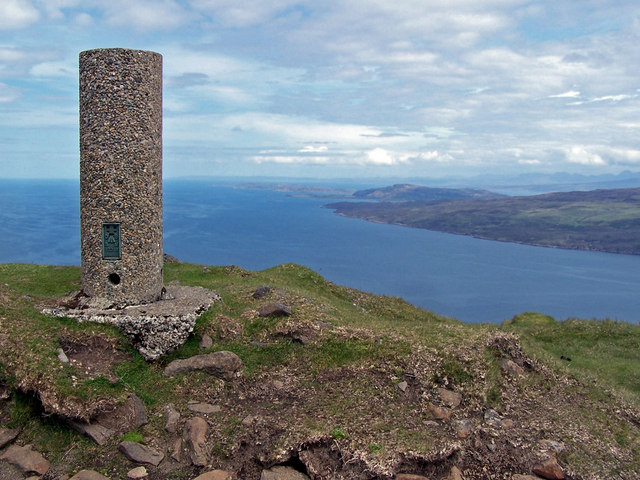
Images are sourced within 2km of 57.384408/-6.1721876 or Grid Reference NG4940. Thanks to Geograph Open Source API. All images are credited.

Varragill River from A87
A87 over Varragill River
Varragill River
Varragill River
A87 The A87 runs 99 miles from Invergarry to Uig on the Isle of Skye <a href="https://www.geograph.org.uk/photo/7374675">NG3863 : End of the A87, Uig</a>.
<span class="nowrap"><a title="https://www.sabre-roads.org.uk/wiki/index.php?title=A87" rel="nofollow ugc noopener" href="https://www.sabre-roads.org.uk/wiki/index.php?title=A87">Link</a><img style="margin-left:2px;" alt="External link" title="External link - shift click to open in new window" src="https://s1.geograph.org.uk/img/external.png" width="10" height="10"/></span>
A87
The A87 runs 99 miles from Invergarry to Uig on the Isle of Skye NG3863 : End of the A87, Uig. LinkExternal link
A87, southbound The A87 runs 99 miles from Invergarry to Uig on the Isle of Skye <a href="https://www.geograph.org.uk/photo/7374675">NG3863 : End of the A87, Uig</a>.
<span class="nowrap"><a title="https://www.sabre-roads.org.uk/wiki/index.php?title=A87" rel="nofollow ugc noopener" href="https://www.sabre-roads.org.uk/wiki/index.php?title=A87">Link</a><img style="margin-left:2px;" alt="External link" title="External link - shift click to open in new window" src="https://s1.geograph.org.uk/img/external.png" width="10" height="10"/></span>
A87, southbound
The A87 runs 99 miles from Invergarry to Uig on the Isle of Skye NG3863 : End of the A87, Uig. LinkExternal link
Minor road towards Braes
Forestry entrance near Peinmore
Forestry track near Peinmore
Forestry near Peinmore
Bends in the Braes road Here, looking south towards the end of a craggy outcrop which rises above the road for the next mile or so.
Bends in the Braes road
Here, looking south towards the end of a craggy outcrop which rises above the road for the next mile or so.
Isle of Skye, Camus Bàn
B883 turning, A87 The A87 runs 99 miles from Invergarry to Uig on the Isle of Skye <a href="https://www.geograph.org.uk/photo/7374675">NG3863 : End of the A87, Uig</a>.
<span class="nowrap"><a title="https://www.sabre-roads.org.uk/wiki/index.php?title=A87" rel="nofollow ugc noopener" href="https://www.sabre-roads.org.uk/wiki/index.php?title=A87">Link</a><img style="margin-left:2px;" alt="External link" title="External link - shift click to open in new window" src="https://s1.geograph.org.uk/img/external.png" width="10" height="10"/></span>
B883 turning, A87
The A87 runs 99 miles from Invergarry to Uig on the Isle of Skye NG3863 : End of the A87, Uig. LinkExternal link
Gated industrial yard
Ben Tianavaig Dressed in its winter coat!
Ben Tianavaig
Dressed in its winter coat!
Summit of Ben Tianavaig Looking north past the trig point. The highest point in the background is The Storr.
Summit of Ben Tianavaig
Looking north past the trig point. The highest point in the background is The Storr.
Summit of Ben Tianavaig Looking north east past the summit trig point with the north of the island of Raasay on the right.
Summit of Ben Tianavaig
Looking north east past the summit trig point with the north of the island of Raasay on the right.
South from Ben Tianavaig This view is taken from the summit looking south down the ridge of the hill, which is the most commonly used route to the top.
South from Ben Tianavaig
This view is taken from the summit looking south down the ridge of the hill, which is the most commonly used route to the top.
Show me another place!

Acres is located at Grid Ref: NG4940 (Lat: 57.384408, Lng: -6.1721876)

Unitary Authority: Highland

Police Authority: Highlands and Islands

What 3 Words

///clasping.spectacle.castle. Near Portree, Highland

Nearby Locations

Acres

Related Wikis

Camastianavaig

Camustianavaig (also English spelling: Camustinivaig) is a crofting township on the island of Skye in Scotland. It is located on the shores of the Sound...

Ben Tianavaig

Ben Tianavaig is a hill located on the Isle of Skye, near Portree . It is very prominent from Portree dominating the view from the harbour. It is a Marilyn...
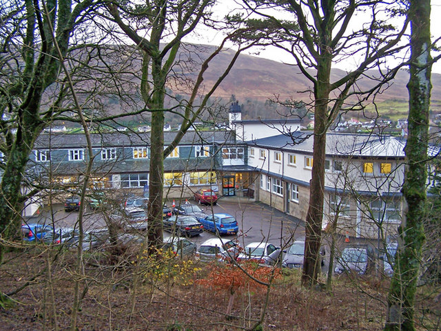
Portree Hospital

The Portree Hospital is a health facility in Fancyhill, Portree on the Isle of Skye. It is managed by NHS Highland. == History == The facility, which was...

ATLAS Arts

ATLAS Arts is a visual arts organisation dedicated to commissioning contemporary arts, culture, heritage, and education based in the Isle of Skye. It was...

Nearby Amenities

Located within 500m of 57.384408,-6.1721876
Passing Place
Lat/Long: 57.3835324/-6.1788948
Passing Place
Lat/Long: 57.3831043/-6.1770927
Passing Place
Lat/Long: 57.38254/-6.1753186
Passing Place
Lat/Long: 57.381818/-6.1737332
Passing Place
Lat/Long: 57.3811975/-6.1726673
Passing Place
Lat/Long: 57.3801709/-6.1708917
Power: pole
Lat/Long: 57.3809731/-6.1717254
Power: pole
Lat/Long: 57.3815833/-6.1728331
Power: pole
Lat/Long: 57.3820792/-6.17367
Power: pole
Lat/Long: 57.3831505/-6.1755368
Power: pole
Lat/Long: 57.383843/-6.1768055
Power: pole
Lat/Long: 57.384138/-6.1787635
Power: pole
Lat/Long: 57.3843375/-6.1802387
Power: pole
Lat/Long: 57.384428/-6.1802075
Power: pole
Lat/Long: 57.3842255/-6.1787868
Power: pole
Lat/Long: 57.3839384/-6.1768159
Power: pole
Lat/Long: 57.383215/-6.1755408
Power: pole
Lat/Long: 57.3824531/-6.1741769
Power: pole
Lat/Long: 57.381765/-6.1729775
Power: pole
Lat/Long: 57.381255/-6.1720648
Power: pole
Lat/Long: 57.3806257/-6.1709396
The data included in this document is from www.openstreetmap.org. The data is made available under ODbL.

Have you been to Acres?

Leave your review of Acres below (or comments, questions and feedback).