Jura Forest

Downs, Moorland in Argyllshire

Scotland

Jura Forest

Gentle rocky slope east of Glas Bheinn The rocky ground from which the image was taken is the upper east ridge of Glas Bheinn and the view is over declining slopes north-east of the mountain to two of the Paps of Jura - Beinn an Oir and Beinn Shiantaidh, with another peak, Corra Bheinn showing too.
Gentle rocky slope east of Glas Bheinn Credit: Trevor Littlewood

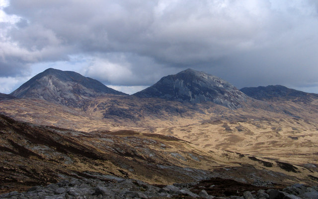
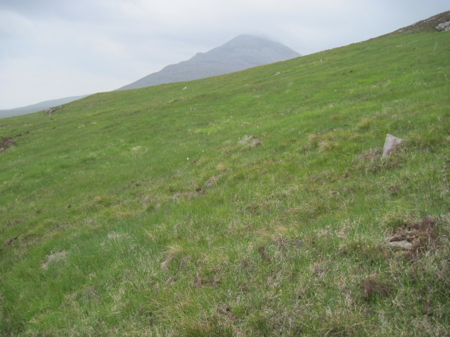
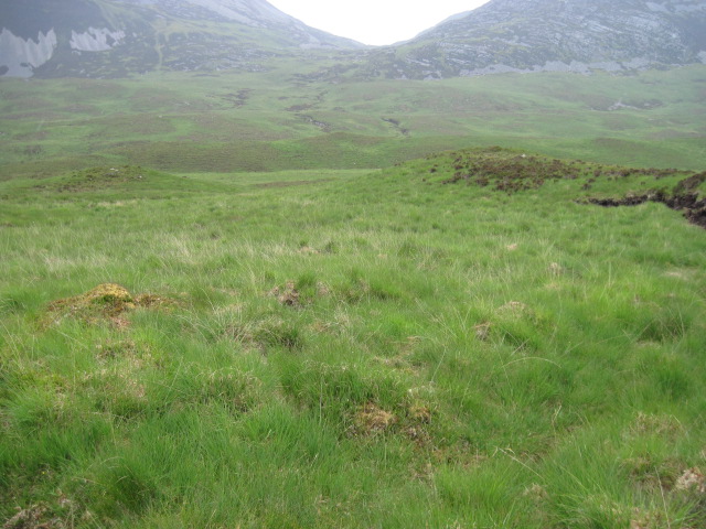
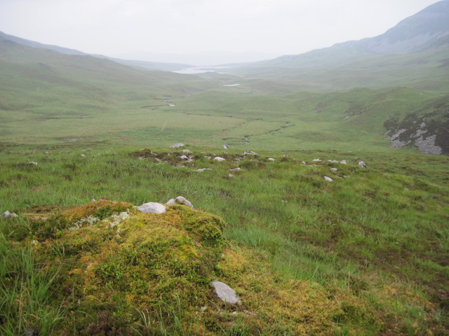
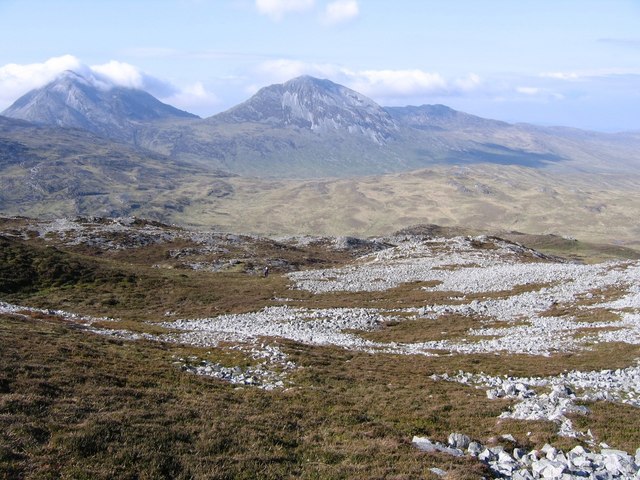
Jura Forest is a large expanse of woodland located in Argyllshire, Scotland. It covers an area of approximately 5,000 hectares and is predominantly made up of native oak and birch trees, along with some areas of conifer plantations. The forest is part of the Argyll Forest Park and is known for its diverse range of wildlife, including red deer, otters, and golden eagles.

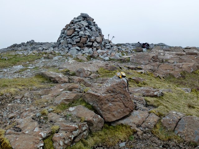
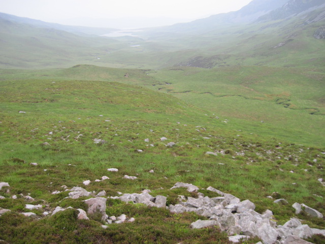
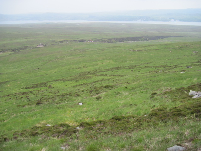
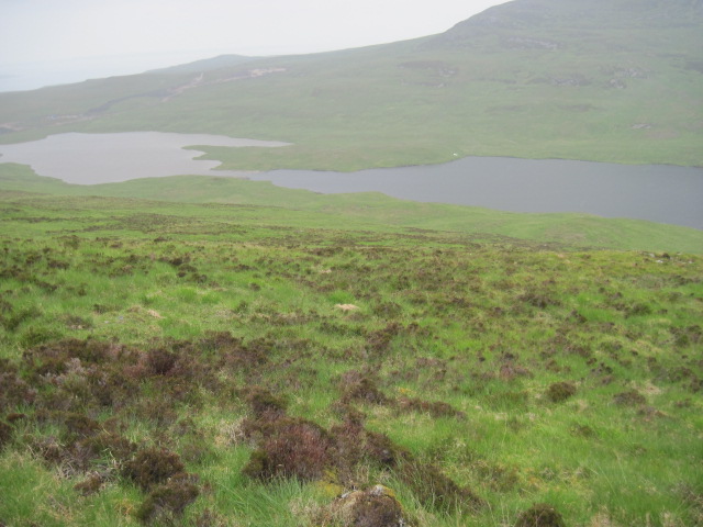
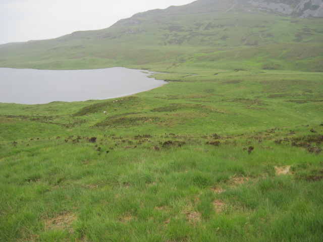
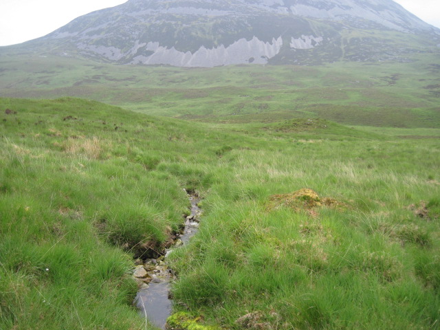
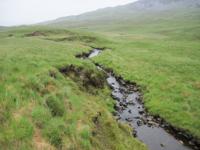
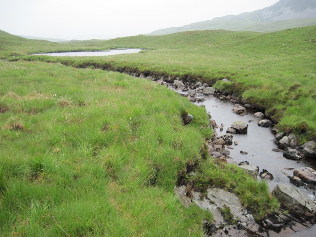
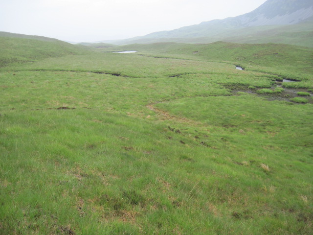
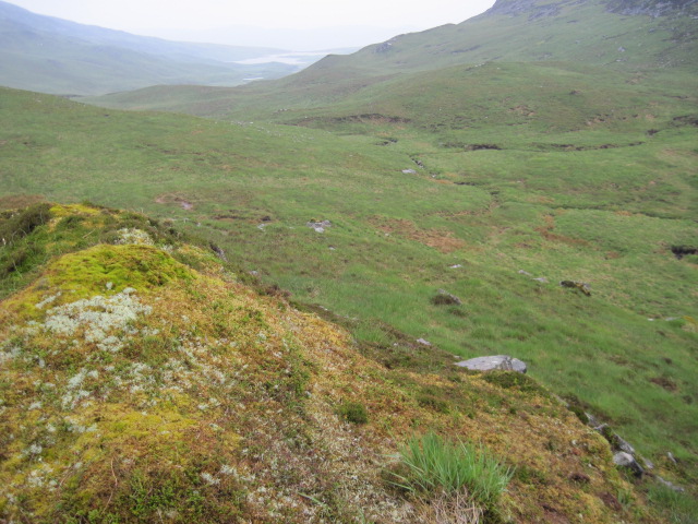
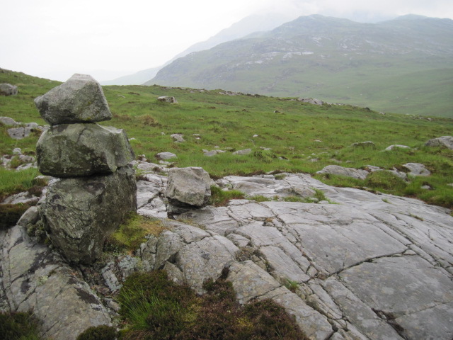
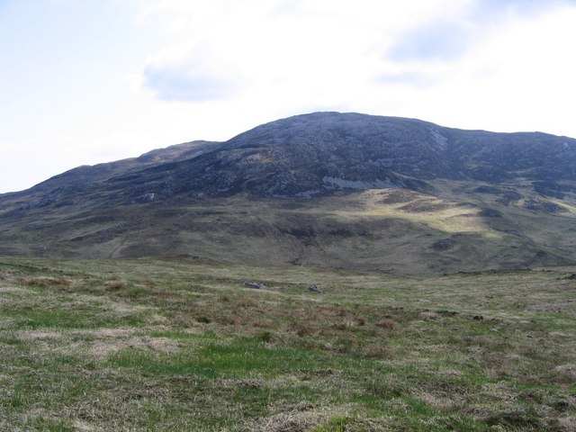
The terrain in Jura Forest consists of rolling hills, steep slopes, and deep valleys, creating a varied landscape that is ideal for hiking and wildlife spotting. The forest is also home to a number of walking trails and mountain biking routes, providing opportunities for outdoor recreation and exploration.

The climate in Jura Forest is typically cool and wet, with frequent rainfall and misty conditions. The forest is often shrouded in fog, creating a mystical and atmospheric environment for visitors to enjoy.

Overall, Jura Forest is a beautiful and diverse natural area that offers a peaceful retreat for those looking to immerse themselves in the rugged beauty of the Scottish countryside.

If you have any feedback on the listing, please let us know in the comments section below.

Jura Forest Images

Images are sourced within 2km of 55.859537/-6.0091295 or Grid Reference NR4970. Thanks to Geograph Open Source API. All images are credited.

Gentle rocky slope east of Glas Bheinn The rocky ground from which the image was taken is the upper east ridge of Glas Bheinn and the view is over declining slopes north-east of the mountain to two of the Paps of Jura - Beinn an Oir and Beinn Shiantaidh, with another peak, Corra Bheinn showing too.
Gentle rocky slope east of Glas Bheinn
The rocky ground from which the image was taken is the upper east ridge of Glas Bheinn and the view is over declining slopes north-east of the mountain to two of the Paps of Jura - Beinn an Oir and Beinn Shiantaidh, with another peak, Corra Bheinn showing too.
Glas Bheinn A lift from the Jura Ferry in Martin Richardson's van help Martin, Cliff Speight, Jim Bloomer and I gain this summit not long after arriving on Islay for the first time.  This island hopping is easy.
Name: Glas Bheinn
Hill number: 1453
Height: 562m / 1844ft
Area: 20A: Jura, Scarba and Colonsay
Class: Ma,5H
Grid ref: NR 50038 69895
Summit feature: rock 9m W of large cairn
Drop: 279m
Col: 283m  NR511711
Glas Bheinn
A lift from the Jura Ferry in Martin Richardson's van help Martin, Cliff Speight, Jim Bloomer and I gain this summit not long after arriving on Islay for the first time. This island hopping is easy. Name: Glas Bheinn Hill number: 1453 Height: 562m / 1844ft Area: 20A: Jura, Scarba and Colonsay Class: Ma,5H Grid ref: NR 50038 69895 Summit feature: rock 9m W of large cairn Drop: 279m Col: 283m NR511711
Gleann Astaile
Gleann Astaile
Hillside of Aonach-bheinn towards Abhainn Gleann Lubharnadail
Hillside of Aonach-bheinn towards Beinn Chaolais
Aonach-bheinn hillside to Lochan Gleann Astaile
Aonach-bheinn hillside to eastern end of Lochan Gleann Astaile
Across Gleann Astaile to Beinn a' Chaolais
Gleann Astaile towards Beinn Mhearsamail
Abhainn Gleann Astaile
Gleann Astaile
Gleann Astaile
Above Gleann Astaile
Hillside towards Abhainn Gleann Astaile
Near Carn Mhic Phaedereis OS name book description is that Carn Mhic Phaedereis applies to a rocky flat situate 1/2 mile NE Glas-bheinne and 1/8mile SW of Creag a' Chreamha Mòr. English meaning Paterson's Cairn.
Near Carn Mhic Phaedereis
OS name book description is that Carn Mhic Phaedereis applies to a rocky flat situate 1/2 mile NE Glas-bheinne and 1/8mile SW of Creag a' Chreamha Mòr. English meaning Paterson's Cairn.
Glas Bheinn The highest point in this view, taken from the Cnoc Tigh nan Torran ridge south of Craighouse, is the summit of Glas Bheinn. The grid reference was however read by GPS (avg. of approx 60 readings) a couple of days earlier. The highest point to the left is the summit of Dubh Bheinn. From Craighouse the Jura Fell Race runners, run up the track seen just above the foreground trees, past the radio mast, then up just to the right of the small area of woodland before swinging left to Dubh Bheinn. From there they follow the ridge across to Glas Bheinn.
Glas Bheinn
The highest point in this view, taken from the Cnoc Tigh nan Torran ridge south of Craighouse, is the summit of Glas Bheinn. The grid reference was however read by GPS (avg. of approx 60 readings) a couple of days earlier. The highest point to the left is the summit of Dubh Bheinn. From Craighouse the Jura Fell Race runners, run up the track seen just above the foreground trees, past the radio mast, then up just to the right of the small area of woodland before swinging left to Dubh Bheinn. From there they follow the ridge across to Glas Bheinn.
Northern Ridge of Glas Bheinn Nearing the top of the northern ridge of Glas Bheinn. This hill gives great views of the "paps" on a good day. In this photo you can see Beinn an Oir (left) and Beinn Shiantiadh (right).
Northern Ridge of Glas Bheinn
Nearing the top of the northern ridge of Glas Bheinn. This hill gives great views of the "paps" on a good day. In this photo you can see Beinn an Oir (left) and Beinn Shiantiadh (right).
Across head of Gleann Astaile Glas Bheinn (562m) dominates the head of Gleann Astaile.
Across head of Gleann Astaile
Glas Bheinn (562m) dominates the head of Gleann Astaile.
Show me another place!

Jura Forest is located at Grid Ref: NR4970 (Lat: 55.859537, Lng: -6.0091295)

Unitary Authority: Argyll and Bute

Police Authority: Argyll and West Dunbartonshire

What 3 Words

///aside.eggplants.secretly. Near Craighouse, Argyll & Bute

Nearby Locations

Jura Forest

Related Wikis

Paps of Jura

The Paps of Jura (Scottish Gaelic: Sgurr na Cìche) are three mountains on the western side of the island of Jura, in the Inner Hebrides of Scotland. Their...

Beinn a' Chaolais

Beinn a' Chaolais (Gaelic: mountain of the sound or strait) is the lowest peak of the Paps of Jura on the island of Jura, Scotland.It stands at 733 metres...

Keils

Keils formerly Kilearnadill is a hamlet 0.25 miles (0.40 km) from Craighouse on the island of Jura, in the council area of Argyll and Bute, Scotland. Keils...
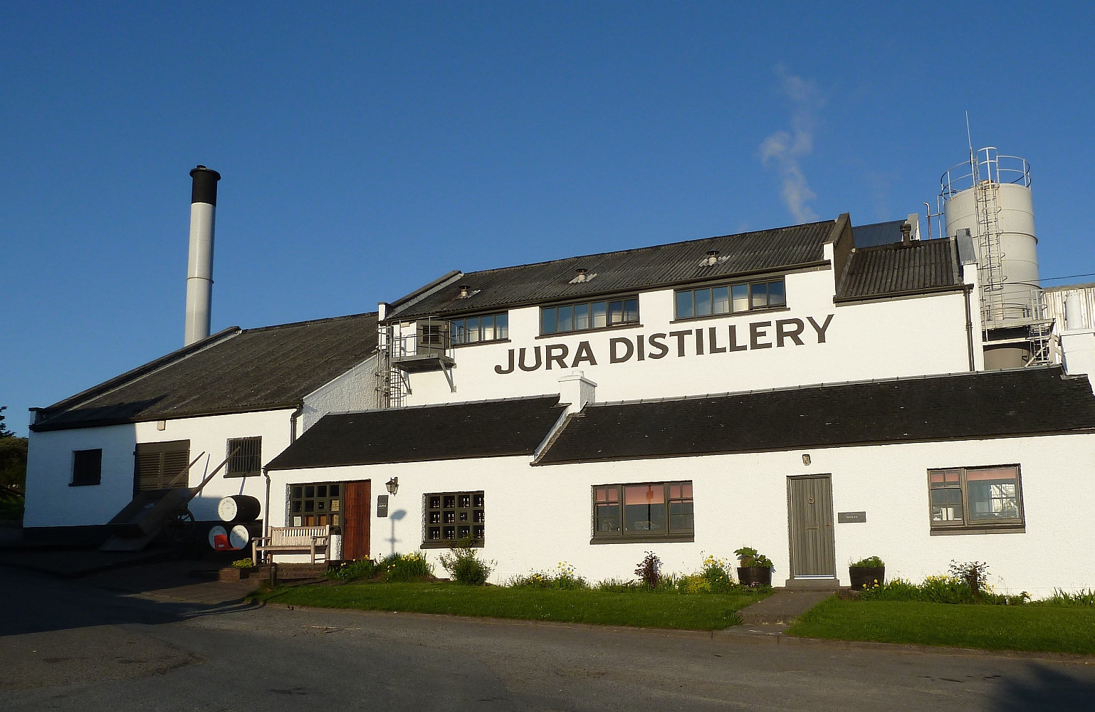
Jura distillery

Jura distillery is a Scotch whisky distillery on the island of Jura in the Inner Hebrides off the West Coast of Scotland. The distillery is operated by...

Have you been to Jura Forest?

Leave your review of Jura Forest below (or comments, questions and feedback).