Breja Common

Downs, Moorland in Cornwall

England

Breja Common

Towards Trowan An inland path heads west from St Ives, linking many fields and interspersed with small farms.  This is the first, Trowan, adjacent to a field of coarse grass.
Towards Trowan Credit: Graham Horn

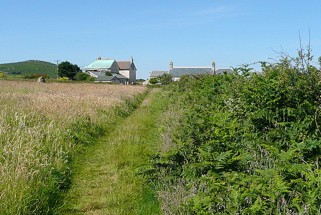
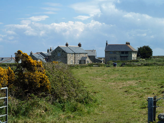
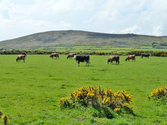
Breja Common is a picturesque area located in Cornwall, England. Situated on the Downs and Moorland, it covers a vast expanse of land and is renowned for its natural beauty and diverse ecosystem. The common is characterized by its rolling hills, open grasslands, and heathlands, creating a stunning landscape that attracts visitors year-round.

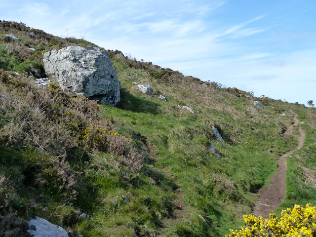
The Downs of Breja Common offer breathtaking views of the surrounding countryside, with the undulating hills providing a sense of tranquility and serenity. The area is covered in a patchwork of vibrant green fields, dotted with wildflowers during the warmer months. The Moorland, on the other hand, features expanses of heather and gorse, providing a rich habitat for a variety of flora and fauna.

Breja Common is a haven for wildlife enthusiasts, as it supports a wide range of species. The common is home to numerous bird species, including skylarks, stonechats, and kestrels, making it a popular spot for birdwatching. Additionally, the area is inhabited by various mammals such as rabbits, foxes, and deer.

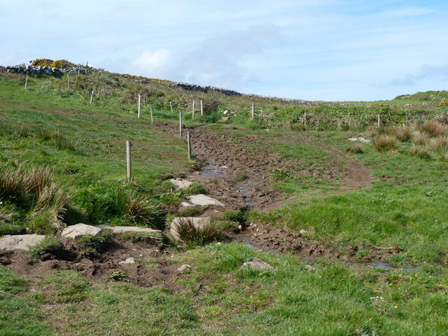
The common offers excellent opportunities for outdoor activities, including walking, hiking, and picnicking. There are several well-maintained trails and footpaths that meander through the common, allowing visitors to explore its natural wonders. The peaceful atmosphere and stunning vistas also make it an ideal location for photography and painting.

Breja Common, Cornwall (Downs, Moorland) is a true gem for nature lovers, offering a harmonious blend of scenic landscapes, diverse wildlife, and outdoor recreational opportunities.

If you have any feedback on the listing, please let us know in the comments section below.
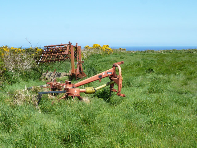
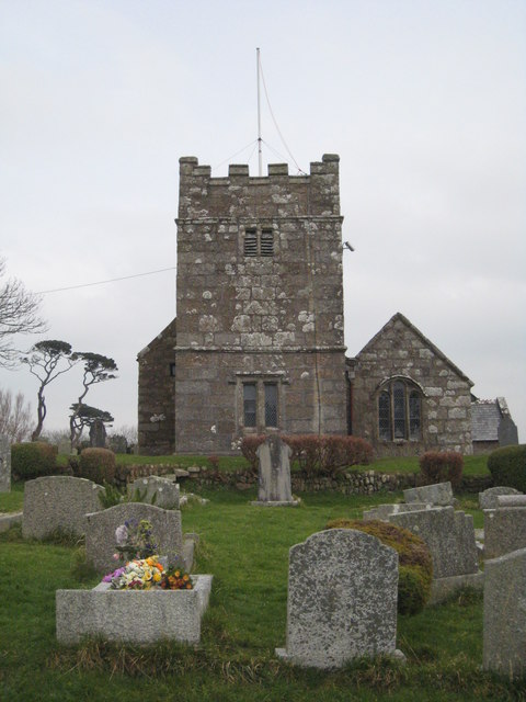
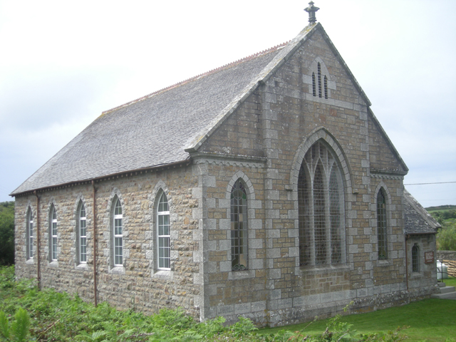
Breja Common Images

Images are sourced within 2km of 50.196305/-5.516073 or Grid Reference SW4938. Thanks to Geograph Open Source API. All images are credited.

Towards Trowan An inland path heads west from St Ives, linking many fields and interspersed with small farms.  This is the first, Trowan, adjacent to a field of coarse grass.
Towards Trowan
An inland path heads west from St Ives, linking many fields and interspersed with small farms. This is the first, Trowan, adjacent to a field of coarse grass.
Cattle on the coastal path Well, almost off the coastal path. They had ventured the seaward side of the path and we had to be careful as we passed that we did not spook them to go further towards the steep drop.
Cattle on the coastal path
Well, almost off the coastal path. They had ventured the seaward side of the path and we had to be careful as we passed that we did not spook them to go further towards the steep drop.
Rock outcrop, Trevalgan Cliff By the coastal footpath, which is of the sort over this stretch where strolling along looking at the view is liable to lead to a trip.
Rock outcrop, Trevalgan Cliff
By the coastal footpath, which is of the sort over this stretch where strolling along looking at the view is liable to lead to a trip.
Trowan A farmstead that seems to be converted into a settlement of several dwellings.
Trowan
A farmstead that seems to be converted into a settlement of several dwellings.
Boundary rock Used as a marker for the St. Ives - Towednack parish boundary. An odd boundary, which takes scant notice of the clearly rather old field banks in this area and strides straight through them.
Boundary rock
Used as a marker for the St. Ives - Towednack parish boundary. An odd boundary, which takes scant notice of the clearly rather old field banks in this area and strides straight through them.
Remains of a tin mine, last operated as Trevegia Mine The engine house shows above the heaps and rough scrubby ground of the former mine plot. Even in 1877 it was mapped as disused, with no specific name. However it was reopened several times, last closing in 1913. Reference to <span class="nowrap"><a title="https://www.mindat.org/loc-221495.html" rel="nofollow ugc noopener" href="https://www.mindat.org/loc-221495.html">Link</a><img style="margin-left:2px;" alt="External link" title="External link - shift click to open in new window" src="https://s1.geograph.org.uk/img/external.png" width="10" height="10"/></span> shows that it has had several names, a result of consolidation of closely adjacent earlier mines and changes of ownership.
Remains of a tin mine, last operated as Trevegia Mine
The engine house shows above the heaps and rough scrubby ground of the former mine plot. Even in 1877 it was mapped as disused, with no specific name. However it was reopened several times, last closing in 1913. Reference to LinkExternal link shows that it has had several names, a result of consolidation of closely adjacent earlier mines and changes of ownership.
Disused tin mine from the SW Coastal path Apparently this particular mine was listed as disused in the 19th century.
Disused tin mine from the SW Coastal path
Apparently this particular mine was listed as disused in the 19th century.
Post 13, Trevalgan Farm Trail This privately organized trail comes down from above and joins the coastal public path for a bit. The black sign advertises the beef they sell at the farm, the next one up advertises the holiday lets there, and at the top are (I think) a few words about this location.
Post 13, Trevalgan Farm Trail
This privately organized trail comes down from above and joins the coastal public path for a bit. The black sign advertises the beef they sell at the farm, the next one up advertises the holiday lets there, and at the top are (I think) a few words about this location.
Coastal footpath, Trevalgan Cliff Heading west.
Coastal footpath, Trevalgan Cliff
Heading west.
Post 14, Trevalgan Farm Trail This privately organized trail shares the coastal public path for a bit. The top sign advertises the holiday lets at the farm, and beneath are a few words about this location. The near rocks in the path appear to be the remains of an old field bank rather than a natural outcrop.
Post 14, Trevalgan Farm Trail
This privately organized trail shares the coastal public path for a bit. The top sign advertises the holiday lets at the farm, and beneath are a few words about this location. The near rocks in the path appear to be the remains of an old field bank rather than a natural outcrop.
Standing stone in rock circle Looking ancient but not so. I suspect the folk at Trevalgan Farm, who have made a trail around here for their holiday residents.
Standing stone in rock circle
Looking ancient but not so. I suspect the folk at Trevalgan Farm, who have made a trail around here for their holiday residents.
Damp section on coastal path A least there are a few stepping stones.
Damp section on coastal path
A least there are a few stepping stones.
Path from Trevail Mill to Trevalgan Through a strip of rough land associated with former mining here.
Path from Trevail Mill to Trevalgan
Through a strip of rough land associated with former mining here.
Cattle, Trevega Wartha Trevalgan Hill is beyond.
Cattle, Trevega Wartha
Trevalgan Hill is beyond.
Cattle trough between fields Made out of an old bath.
Cattle trough between fields
Made out of an old bath.
Gorse on field bank The footpath from Trevail Mill to Trevalgan follows the bank on the near side.
Gorse on field bank
The footpath from Trevail Mill to Trevalgan follows the bank on the near side.
Farm machinery near Trowan
Show me another place!

Breja Common is located at Grid Ref: SW4938 (Lat: 50.196305, Lng: -5.516073)

Unitary Authority: Cornwall

Police Authority: Devon and Cornwall

What 3 Words

///numeral.strong.awestruck. Near St Ives, Cornwall

Nearby Locations

Breja Common Culver House

Related Wikis

Towednack

Towednack (Cornish: Tewydnek) is a churchtown and civil parish in Cornwall, England, United Kingdom. The parish is bounded by those of Zennor in the west...

Hellesveor

Hellesveor (Cornish: Hellys Meur) is a hamlet near St Ives (where the 2011 census population was included) in west Cornwall, England. == References ==
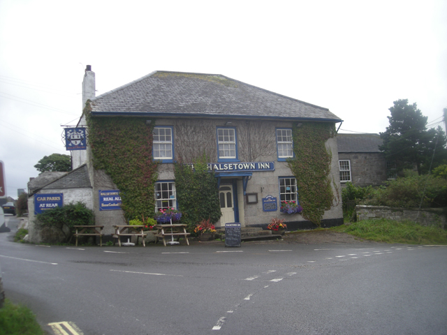
Halsetown

Halsetown is a village near St Ives, Cornwall, England.Halsetown is an industrial village planned by the solicitor and politician James Halse and built...

Amalveor

Amalveor (Cornish: Amal Veur, meaning "great Amal"; 'Amal' appears to be the name of a river) is a hamlet in West Penwith, Cornwall, England, United Kingdom...

Nearby Amenities

Located within 500m of 50.196305,-5.516073
Barrier: stile
Stile: ladder
Lat/Long: 50.19877/-5.5212433
Rosewall Hill
Natural: peak
Lat/Long: 50.1990432/-5.5214741
Barrier: stile
Lat/Long: 50.1982124/-5.5156985
Generator Method: photovoltaic
Generator Output Electricity: small_installation
Generator Source: solar
Generator Type: solar_photovoltaic_panel
Location: roof
Power: generator
Source: bing
Lat/Long: 50.1955405/-5.5099547
Barrier: kissing_gate
Lat/Long: 50.1988698/-5.516392
Disused: yes
Man Made: mineshaft
Mineshaft Type: winding
Resource: tin
Lat/Long: 50.1990094/-5.5156739
Barrier: kissing_gate
Lat/Long: 50.1994597/-5.5124655
Bench
Lat/Long: 50.1992392/-5.5213497
The data included in this document is from www.openstreetmap.org. The data is made available under ODbL.

Have you been to Breja Common?

Leave your review of Breja Common below (or comments, questions and feedback).