Aldbrough Cliff
Cliff, Slope in Yorkshire
England
Aldbrough Cliff

Aldbrough Cliff is a picturesque coastal area located in the East Riding of Yorkshire, England. Situated on the North Sea coast, it forms part of the larger village of Aldbrough. The area is renowned for its stunning cliff formations, which have been shaped by centuries of coastal erosion.
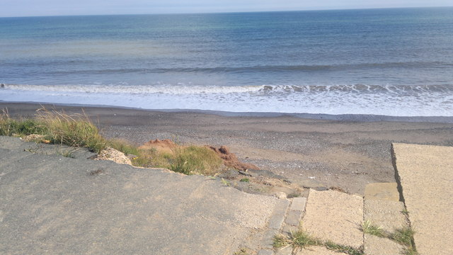
The cliffs of Aldbrough Cliff stand proudly at around 30 meters high, offering breathtaking views of the surrounding landscape. The exposed layers of sedimentary rocks showcase a rich geological history, providing insight into the formation of this region over millions of years. Fossils and other remnants of ancient sea life can often be found within these rocks, making it a popular spot for fossil hunters and geology enthusiasts.
The coastal slope leading up to the cliffs is covered in vibrant vegetation, including grasses, wildflowers, and shrubs. This diverse ecosystem supports a variety of wildlife, and birdwatchers are often treated to sightings of seabirds such as gulls and kittiwakes.
The area surrounding Aldbrough Cliff is also home to several walking trails, allowing visitors to explore the natural beauty of the region. The cliffside paths offer panoramic views of the North Sea, and on clear days, it is possible to see as far as the nearby Flamborough Head.
Due to the continuous erosion, it is important to exercise caution when visiting Aldbrough Cliff. The cliffs are known to be unstable, and signs warn visitors to stay away from the cliff edges. Nonetheless, this stunning natural wonder continues to attract visitors who are captivated by its breathtaking beauty and geological significance.
If you have any feedback on the listing, please let us know in the comments section below.
Aldbrough Cliff Images
Images are sourced within 2km of 53.826119/-0.078969641 or Grid Reference TA2638. Thanks to Geograph Open Source API. All images are credited.


Aldbrough Cliff is located at Grid Ref: TA2638 (Lat: 53.826119, Lng: -0.078969641)
Division: East Riding
Unitary Authority: East Riding of Yorkshire
Police Authority: Humberside
What 3 Words
///blackmail.smoke.jolt. Near Aldbrough, East Yorkshire
Nearby Locations
Related Wikis
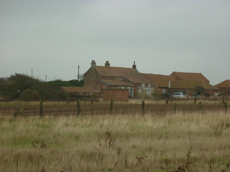
East Newton
East Newton is a hamlet in the civil parish of Aldbrough, in the East Riding of Yorkshire, England, in an area known as Holderness. It is situated approximately...

Colden Parva
Colden Parva (also known as Little Cowden) is a former village and ecclesiastical parish of the East Riding of Yorkshire that was lost due to coastal erosion...
Aldbrough, East Riding of Yorkshire
Aldbrough is a village and civil parish in the East Riding of Yorkshire, England, about 12 miles (19 km) north-east of Hull at the junction of the B1242...

Garton
Garton (or Garton in Holderness) is a village in the East Riding of Yorkshire, England, in an area known as Holderness. It is situated approximately 7...
Nearby Amenities
Located within 500m of 53.826119,-0.078969641Have you been to Aldbrough Cliff?
Leave your review of Aldbrough Cliff below (or comments, questions and feedback).