Tonga Lees
Cliff, Slope in Shetland
Scotland
Tonga Lees
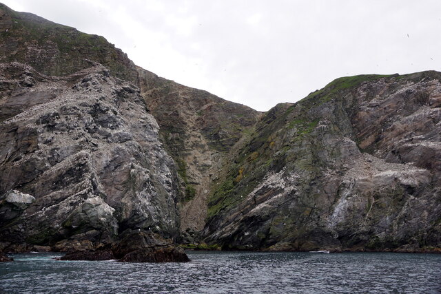
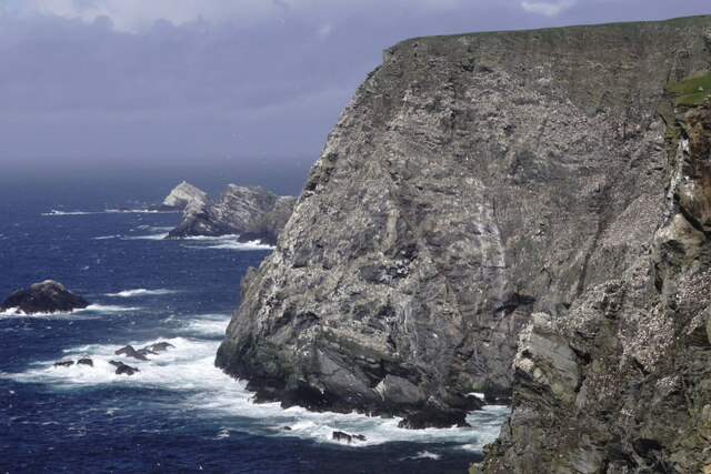
Tonga Lees is a picturesque cliff located on the island of Shetland, Scotland. Situated in the northernmost part of the United Kingdom, Tonga Lees offers breathtaking views and natural beauty to visitors and locals alike.
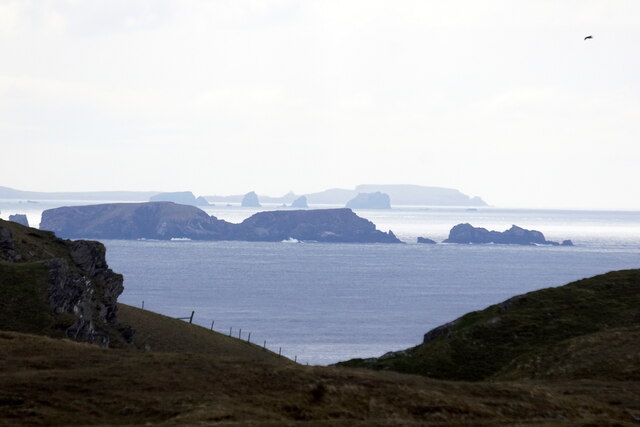
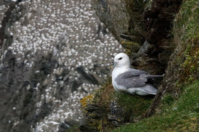
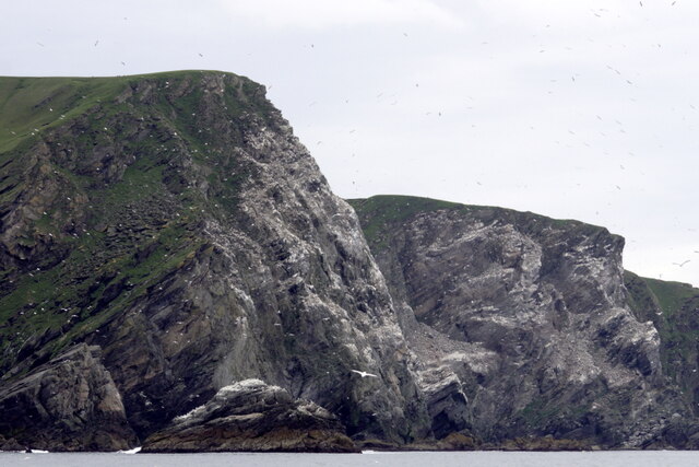
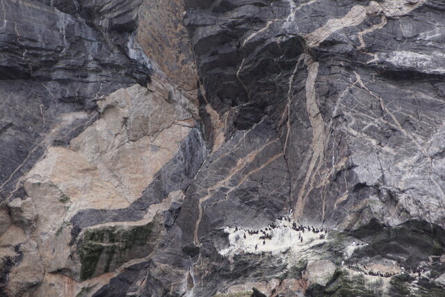
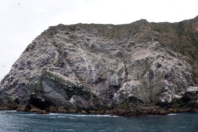
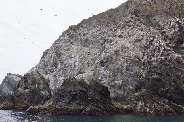
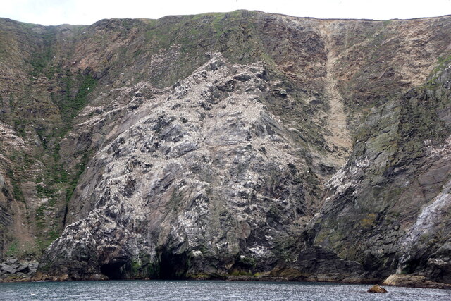
The cliff rises majestically from the North Sea, reaching an impressive height of approximately 150 feet. Its rugged and dramatic landscape consists of layers of sedimentary rock, displaying the geological history of the area. The cliff's distinctive features include various rock formations, such as caves, arches, and stacks, which have been shaped by the relentless force of waves crashing against them over centuries.
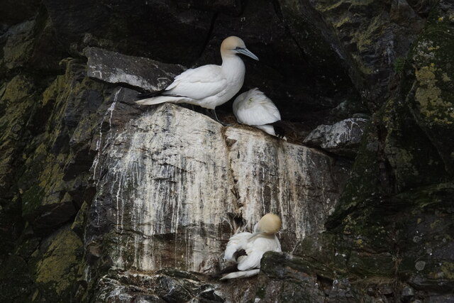
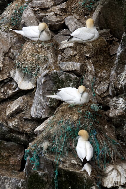
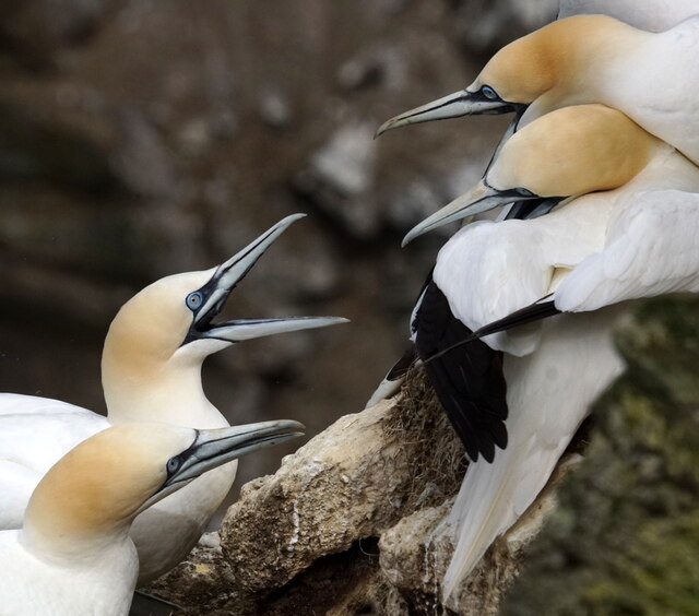
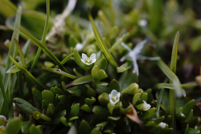
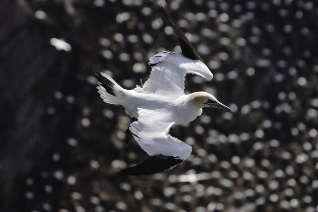
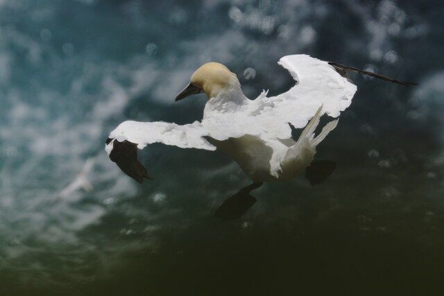
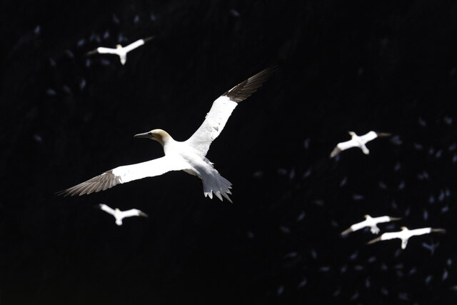
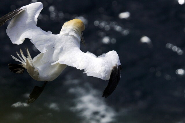
The cliff face is covered in lush vegetation, providing a haven for a diverse range of plant and animal species. Visitors can expect to see seabirds nesting on the cliff edges, including puffins, guillemots, and fulmars, as well as seals basking on the nearby rocky shores.
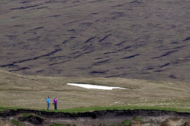
Access to Tonga Lees is relatively easy, with a well-maintained footpath leading from the nearby village of Cliff. The path offers stunning views of the surrounding coastal landscape, leading visitors to a viewpoint overlooking the cliff. From here, one can marvel at the vastness of the North Sea and observe the waves crashing against the jagged rocks below.
Tonga Lees is a popular spot for nature enthusiasts, photographers, and hikers who wish to explore the rugged beauty of Shetland's coastline. Its unique geological features and abundant wildlife make it a must-visit destination for anyone seeking an unforgettable experience in this remote and enchanting part of Scotland.
If you have any feedback on the listing, please let us know in the comments section below.
Tonga Lees Images
Images are sourced within 2km of 60.811147/-0.92885262 or Grid Reference HP5814. Thanks to Geograph Open Source API. All images are credited.
Tonga Lees is located at Grid Ref: HP5814 (Lat: 60.811147, Lng: -0.92885262)
Unitary Authority: Shetland Islands
Police Authority: Highlands and Islands
What 3 Words
///marathon.critic.cleanest. Near Haroldswick, Shetland Islands
Nearby Locations
Related Wikis

Burrafirth
Burrafirth links (Old Norse: Borgarfjorðr, meaning "the fjord with a castle") is a strip of land with a few houses on the island of Unst, Shetland, Scotland...

Hermaness
Hermaness is the northernmost headland of Unst, the most northerly inhabited island of Shetland, Scotland. It consists of huge sea cliffs and moorland...

RAF Saxa Vord
Remote Radar Head Saxa Vord or RRH Saxa Vord (aka RAF Saxa Vord), is a Royal Air Force radar station located on the island of Unst, the most northern of...

Muckle Flugga
Muckle Flugga () is a small rocky island north of Unst in the Shetland Islands, Scotland. It is often described as the northernmost point of the British...

Haroldswick
Haroldswick or Harold's Wick (Old Norse: Haraldsvík, 'Harald's bay'), is on Unst, Shetland Islands, Scotland, and is one of the most northerly settlements...

Valhalla Brewery
The Valhalla Brewery in Unst, Shetland, Scotland, was the northernmost brewery in the United Kingdom. It was opened by the husband and wife team Sonny...

Saxa Vord distillery
Saxa Vord distillery is a Scotch whisky and gin distillery on the island of Unst, part of the Shetland islands. The distillery takes its name from its...

Out Stack
Out Stack or Ootsta is an island in Shetland, Scotland and the northernmost point of both Scotland and the British Isles. It lies 600 m (2,000 ft) northeast...
Have you been to Tonga Lees?
Leave your review of Tonga Lees below (or comments, questions and feedback).