Britch Hellia
Cliff, Slope in Shetland
Scotland
Britch Hellia

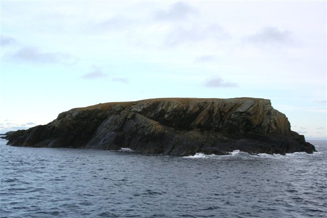
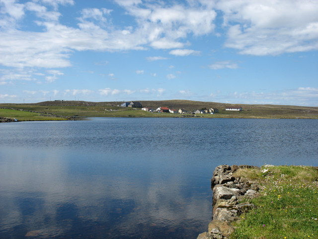
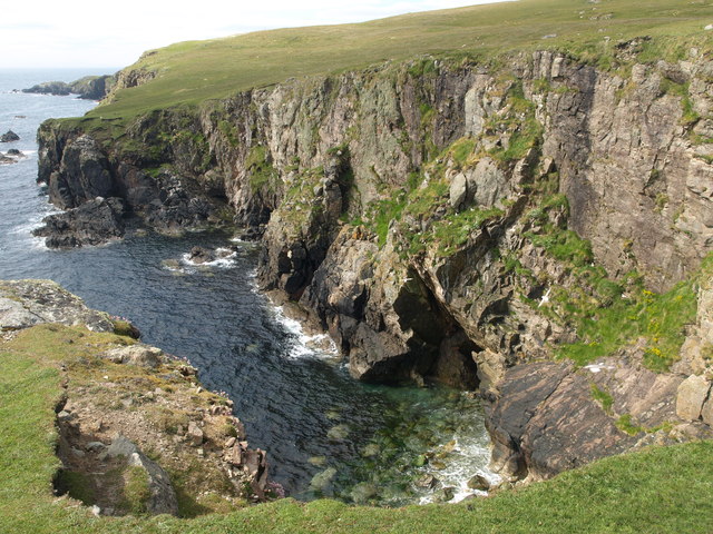
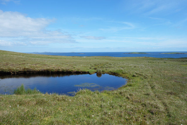
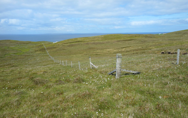
Britch Hellia is a striking cliff and slope located in the remote and rugged Shetland Islands, an archipelago situated off the northeastern coast of Scotland. This natural feature is renowned for its breathtaking beauty, attracting visitors from around the world. With its dramatic cliffs and steep slopes, Britch Hellia offers a truly awe-inspiring sight.
The cliff stands tall, rising to an impressive height, providing a commanding view of the surrounding landscape. Its sheer face is composed of layers of sedimentary rocks, revealing the geological history of the area. The colors and textures of the rocks vary, adding to the visual appeal of Britch Hellia.
The slope, on the other hand, gradually descends from the top of the cliff, forming a picturesque transition between the rugged terrain and the crashing waves below. Covered in lush vegetation, including hardy grasses and wildflowers, the slope adds a touch of vibrant green to the otherwise rocky landscape.
Britch Hellia offers a habitat for various bird species, making it a haven for birdwatchers. The cliff provides nesting sites for seabirds like puffins, fulmars, and kittiwakes, while the slope attracts songbirds and other small avian species. The air surrounding the area is often filled with the musical calls and chirping of these feathered inhabitants.
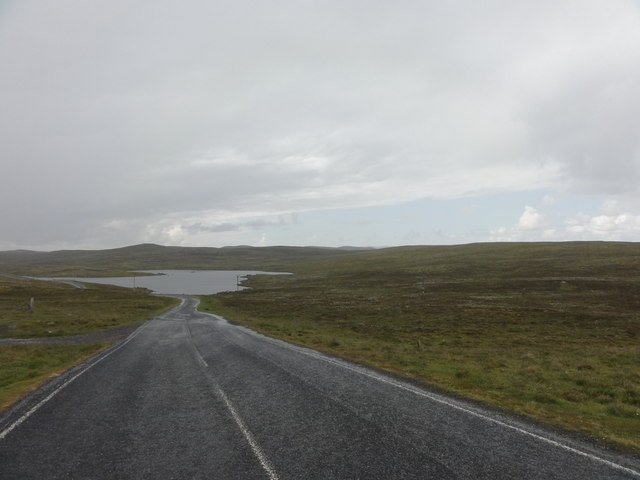
Access to Britch Hellia is limited, as it is located in a remote part of the Shetland Islands. However, brave adventurers who make the journey are rewarded with a truly remarkable natural spectacle that showcases the raw power and beauty of the Scottish coastline.
If you have any feedback on the listing, please let us know in the comments section below.
Britch Hellia Images
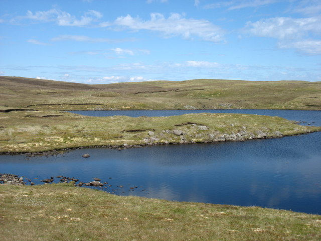
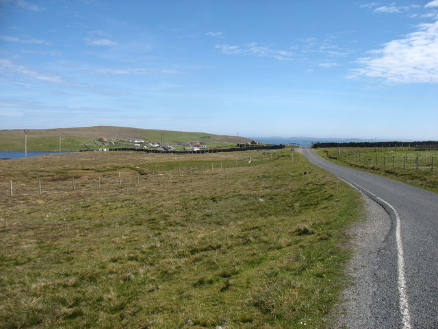
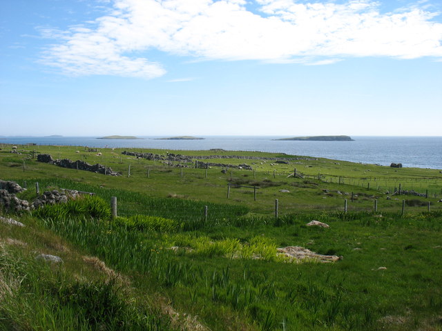
Images are sourced within 2km of 60.356887/-0.94432715 or Grid Reference HU5864. Thanks to Geograph Open Source API. All images are credited.


Britch Hellia is located at Grid Ref: HU5864 (Lat: 60.356887, Lng: -0.94432715)
Unitary Authority: Shetland Islands
Police Authority: Highlands and Islands
What 3 Words
///rope.skim.kingpin. Near Symbister, Shetland Islands
Nearby Locations
Related Wikis
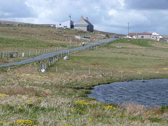
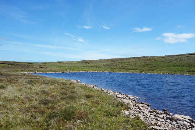
Isbister, Shetland
Isbister is a settlement in eastern Whalsay in the parish of Nesting in the Shetland islands of Scotland. It lies on the eastern side of Loch of Isbister...

Loch of Isbister
Loch of Isbister is a loch of Whalsay, Shetland Islands, Scotland, located on the northern side of Isbister on the eastern side of the island. == References ==

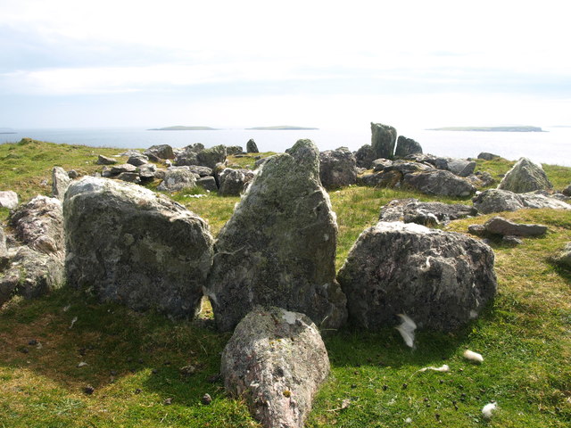
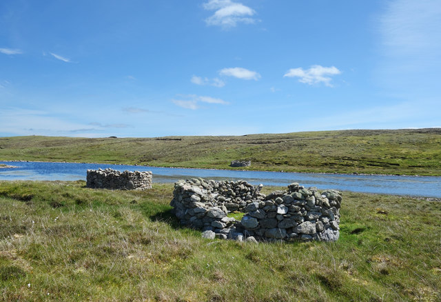
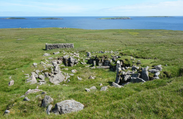
Benie Hoose
Benie Hoose, also Bunyie Hoose, is a Neolithic site in the parish of Nesting, northeastern Whalsay, in the Shetland Islands of Scotland. It is located...

Standing Stones of Yoxie
The Standing Stones of Yoxie is a Neolithic site in the parish of Nesting on the northeastern coast of Whalsay, in the Shetland islands of Scotland. It...
Nearby Amenities
Located within 500m of 60.356887,-0.94432715Have you been to Britch Hellia?
Leave your review of Britch Hellia below (or comments, questions and feedback).