Greff
Cliff, Slope in Shetland
Scotland
Greff
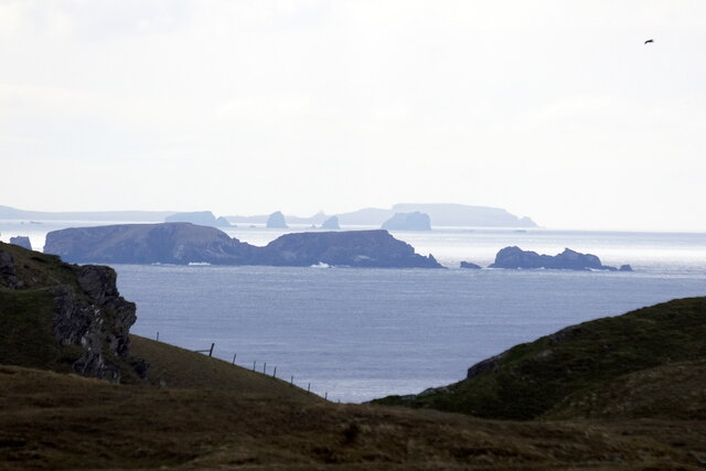
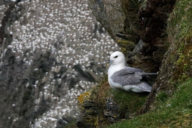
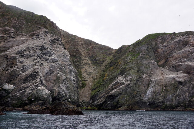
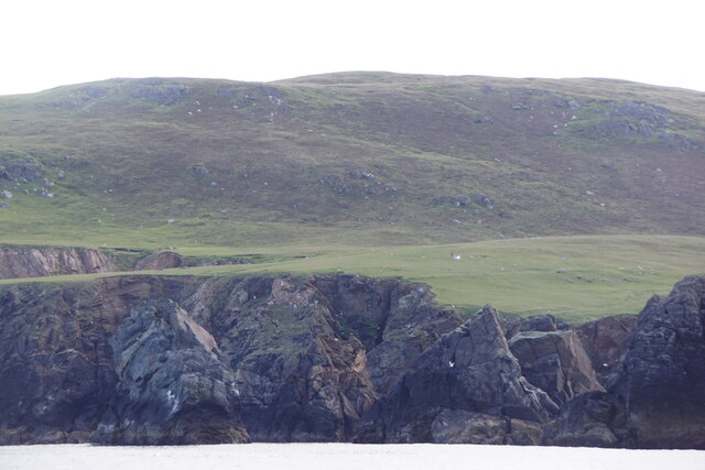
Greff, Shetland is a stunning cliff located on the eastern coast of the Shetland Islands, Scotland. Rising majestically from the North Sea, this natural wonder is a sight to behold. The cliff is situated on the southern end of the island and is known for its dramatic landscape and breathtaking views.
Standing at an impressive height of around 200 meters (656 feet), Greff offers a commanding vantage point, allowing visitors to marvel at the rugged coastal scenery. The cliff face is composed of layered sedimentary rocks, which have been shaped over millions of years through geological processes and the erosive power of the sea.
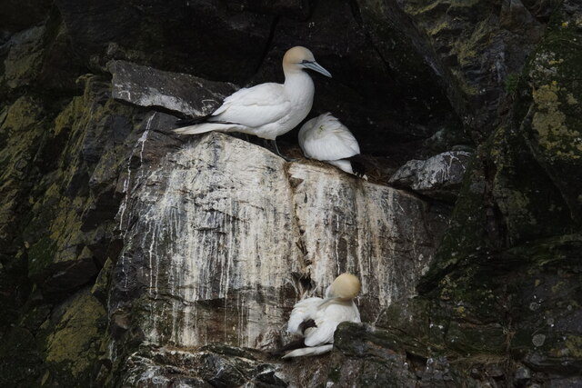
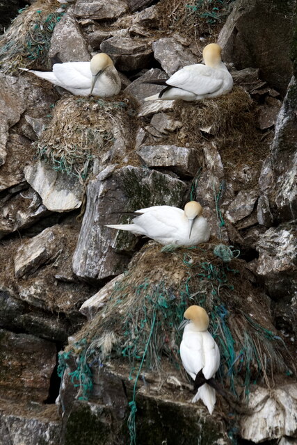
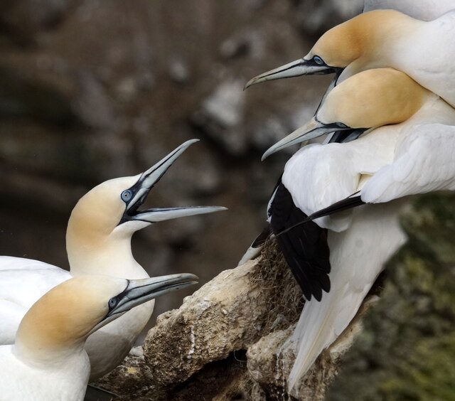
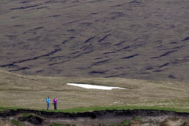
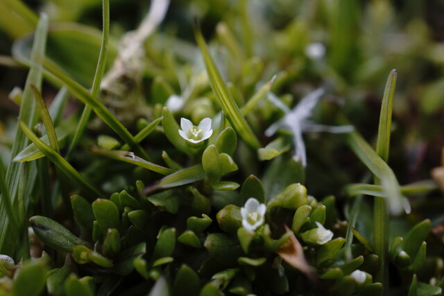
The area surrounding Greff is characterized by its steep slopes, which add to the allure of the location. The cliffs are home to a diverse range of seabirds, including puffins, guillemots, and fulmars, making it a popular spot for birdwatching enthusiasts. The surrounding waters are also teeming with marine life, with seals and dolphins often spotted playing in the waves below.
Access to Greff is relatively easy, with a well-maintained footpath leading to the edge of the cliff. However, caution is advised, as the path can be steep and slippery in some areas. The best time to visit is during the summer months when the weather is milder and the bird colonies are most active.
Greff, Shetland is a captivating natural landmark, offering visitors a chance to immerse themselves in the raw beauty of Scotland's coastal landscape. Whether it's the sheer scale of the cliffs, the abundance of wildlife, or the awe-inspiring views, Greff is a destination that will leave a lasting impression on anyone lucky enough to experience it.
If you have any feedback on the listing, please let us know in the comments section below.
Greff Images
Images are sourced within 2km of 60.806799/-0.92866701 or Grid Reference HP5814. Thanks to Geograph Open Source API. All images are credited.


Greff is located at Grid Ref: HP5814 (Lat: 60.806799, Lng: -0.92866701)
Unitary Authority: Shetland Islands
Police Authority: Highlands and Islands
What 3 Words
///bland.suave.weeknight. Near Haroldswick, Shetland Islands
Nearby Locations
Related Wikis

Burrafirth
Burrafirth links (Old Norse: Borgarfjorðr, meaning "the fjord with a castle") is a strip of land with a few houses on the island of Unst, Shetland, Scotland...

Hermaness
Hermaness is the northernmost headland of Unst, the most northerly inhabited island of Shetland, Scotland. It consists of huge sea cliffs and moorland...

RAF Saxa Vord
Remote Radar Head Saxa Vord or RRH Saxa Vord (aka RAF Saxa Vord), is a Royal Air Force radar station located on the island of Unst, the most northern of...

Haroldswick
Haroldswick or Harold's Wick (Old Norse: Haraldsvík, 'Harald's bay'), is on Unst, Shetland Islands, Scotland, and is one of the most northerly settlements...

Muckle Flugga
Muckle Flugga () is a small rocky island north of Unst in the Shetland Islands, Scotland. It is often described as the northernmost point of the British...

Valhalla Brewery
The Valhalla Brewery in Unst, Shetland, Scotland, was the northernmost brewery in the United Kingdom. It was opened by the husband and wife team Sonny...

Saxa Vord distillery
Saxa Vord distillery is a Scotch whisky and gin distillery on the island of Unst, part of the Shetland islands. The distillery takes its name from its...

Baltasound
Baltasound (or Baltasund) is the largest settlement on the island of Unst in Shetland, Scotland. It comes from the Old Norse man's name Balti (Baltisund...
Have you been to Greff?
Leave your review of Greff below (or comments, questions and feedback).