Rudatae
Coastal Feature, Headland, Point in Shetland
Scotland
Rudatae
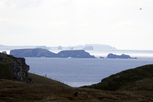
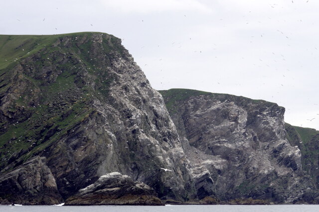
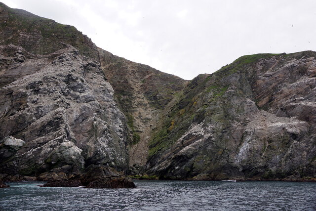
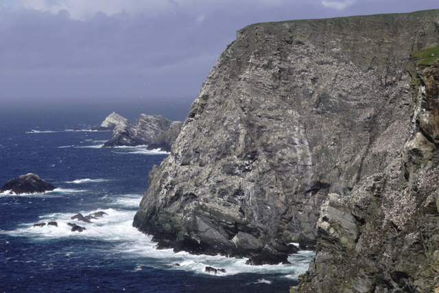
Rudatae is a prominent headland located on the coastline of Shetland, an archipelago in Scotland. Situated in the northernmost part of the Shetland Mainland, Rudatae is characterized by its rugged and dramatic coastal cliffs that rise steeply from the surrounding sea. The headland is positioned at a latitude of approximately 60 degrees north and longitude of 1 degree west.
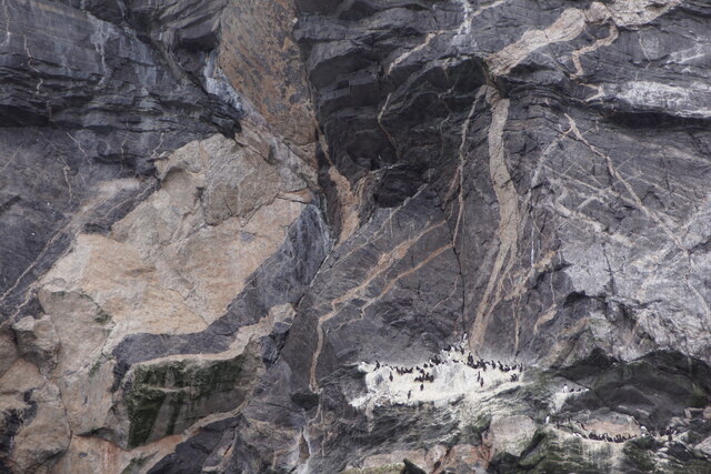
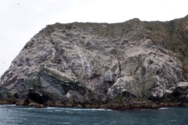
The cliffs of Rudatae are composed of sandstone and schist, displaying intricate layers and patterns formed over millions of years. These geological formations attract geologists and nature enthusiasts, offering a glimpse into the region's ancient history.
The headland also serves as a prominent landmark for mariners, as its elevated position provides excellent visibility for navigation. The rugged cliffs and rocky shoreline contribute to making this headland an important reference point for ships navigating along the Shetland coastline.
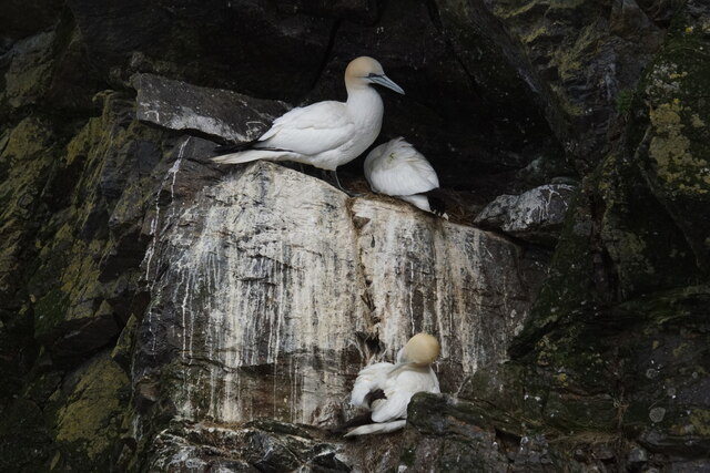
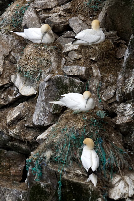
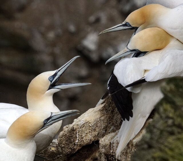
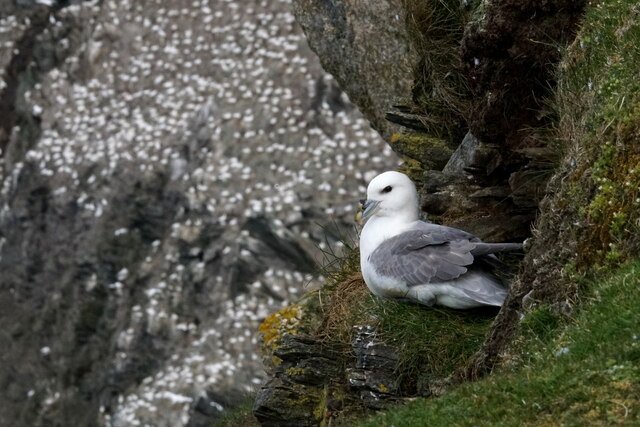
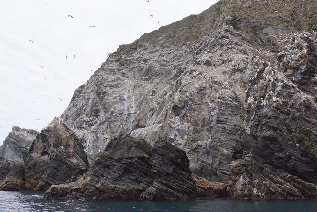
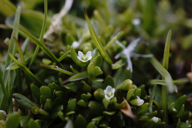
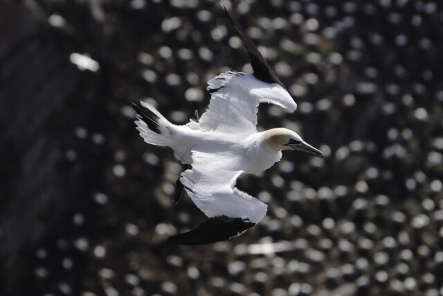
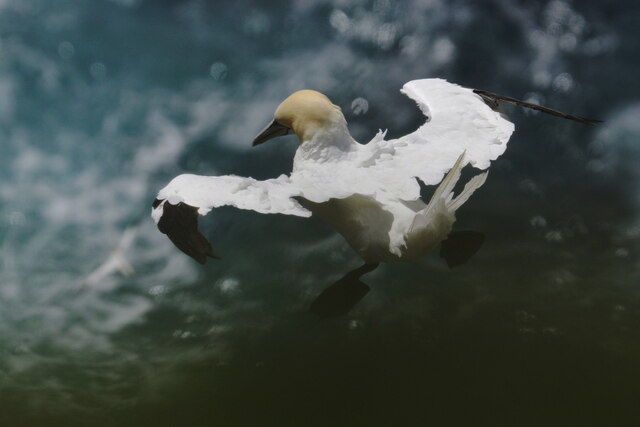
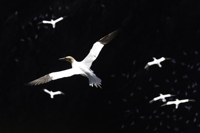
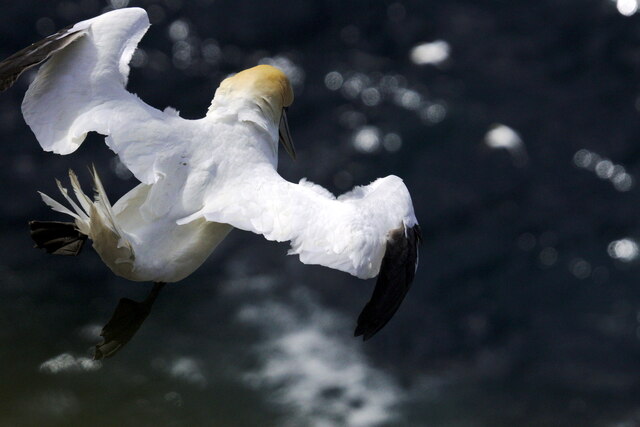
Rudatae is rich in biodiversity, providing a habitat for several species of birds and marine life. The surrounding waters are home to seals, puffins, and various seabirds, making the headland a popular spot for birdwatching and wildlife observation.
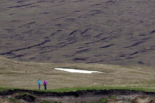
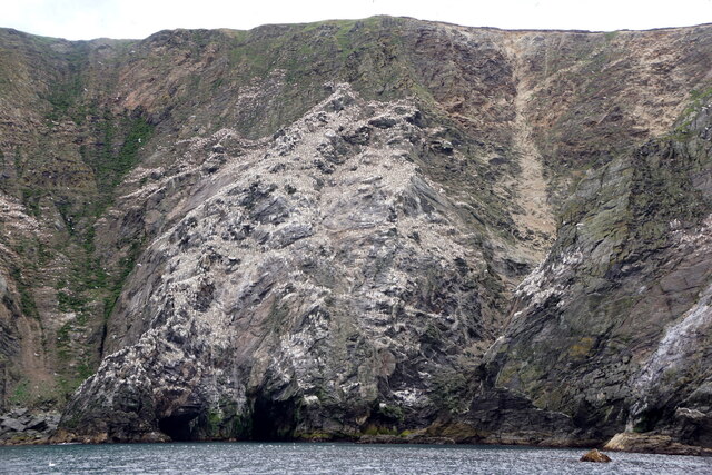
In addition to its natural beauty, Rudatae offers stunning panoramic views of the surrounding coastline and the North Sea. These breathtaking vistas, combined with the headland's unique geological features and diverse wildlife, make Rudatae a popular destination for tourists and outdoor enthusiasts.
Overall, Rudatae is a remarkable coastal feature that showcases the rugged beauty and natural heritage of Shetland.
If you have any feedback on the listing, please let us know in the comments section below.
Rudatae Images
Images are sourced within 2km of 60.811589/-0.92694453 or Grid Reference HP5814. Thanks to Geograph Open Source API. All images are credited.
Rudatae is located at Grid Ref: HP5814 (Lat: 60.811589, Lng: -0.92694453)
Unitary Authority: Shetland Islands
Police Authority: Highlands and Islands
What 3 Words
///truck.provider.marinated. Near Haroldswick, Shetland Islands
Nearby Locations
Related Wikis

Burrafirth
Burrafirth links (Old Norse: Borgarfjorðr, meaning "the fjord with a castle") is a strip of land with a few houses on the island of Unst, Shetland, Scotland...

Hermaness
Hermaness is the northernmost headland of Unst, the most northerly inhabited island of Shetland, Scotland. It consists of huge sea cliffs and moorland...

RAF Saxa Vord
Remote Radar Head Saxa Vord or RRH Saxa Vord (aka RAF Saxa Vord), is a Royal Air Force radar station located on the island of Unst, the most northern of...

Muckle Flugga
Muckle Flugga () is a small rocky island north of Unst in the Shetland Islands, Scotland. It is often described as the northernmost point of the British...

Haroldswick
Haroldswick or Harold's Wick (Old Norse: Haraldsvík, 'Harald's bay'), is on Unst, Shetland Islands, Scotland, and is one of the most northerly settlements...

Valhalla Brewery
The Valhalla Brewery in Unst, Shetland, Scotland, was the northernmost brewery in the United Kingdom. It was opened by the husband and wife team Sonny...

Saxa Vord distillery
Saxa Vord distillery is a Scotch whisky and gin distillery on the island of Unst, part of the Shetland islands. The distillery takes its name from its...

Out Stack
Out Stack or Ootsta is an island in Shetland, Scotland and the northernmost point of both Scotland and the British Isles. It lies 600 m (2,000 ft) northeast...
Have you been to Rudatae?
Leave your review of Rudatae below (or comments, questions and feedback).