Stairs of Mous
Cliff, Slope in Orkney
Scotland
Stairs of Mous
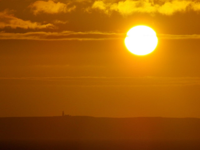
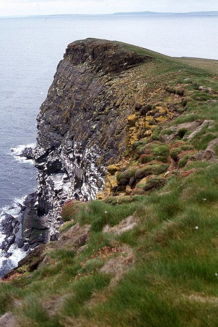
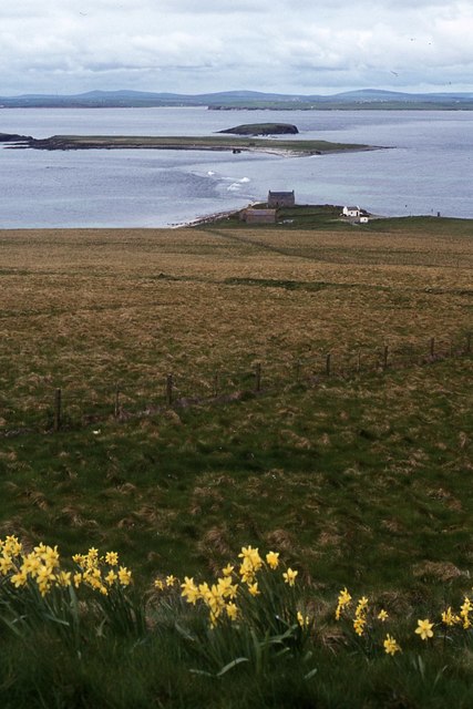
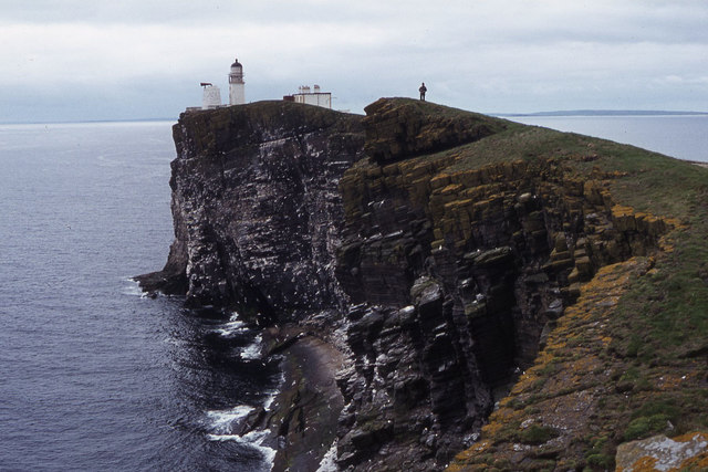
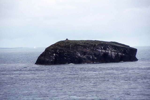
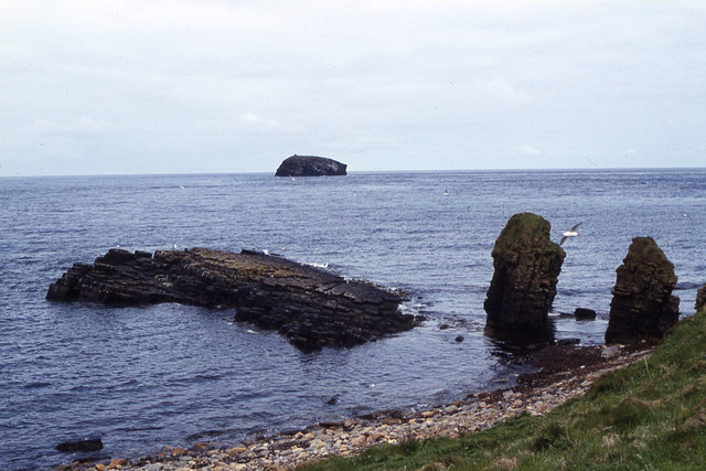
The Stairs of Mous, also known as the Stairs of Hoy, is a prominent geological feature located on the island of Hoy in the Orkney archipelago, off the northeastern coast of Scotland. This natural landmark consists of a series of steep cliffs and slopes that form a unique staircase-like formation.
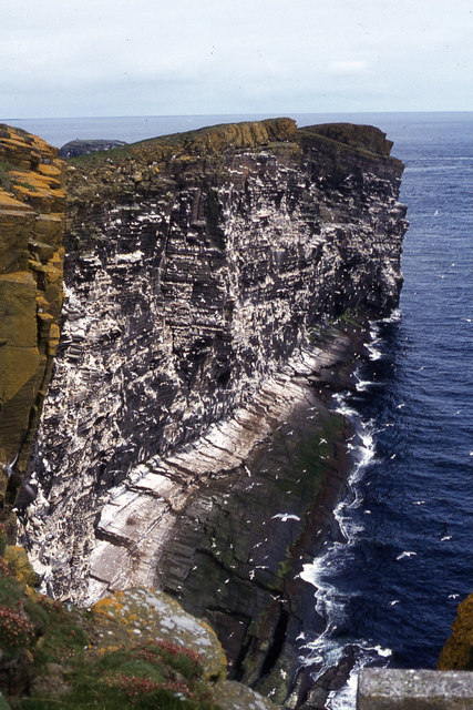
Rising approximately 450 meters (1,480 feet) above the surrounding landscape, the Stairs of Mous are composed of layered sandstone and basalt rock formations, created through millions of years of geological processes. These layers have been eroded by the relentless forces of wind and water, resulting in the distinctive stepped appearance.
The cliffs and slopes of the Stairs of Mous provide a dramatic and awe-inspiring sight, attracting visitors from around the world. The sheer height and ruggedness of the landscape make it a popular destination for rock climbers and hikers seeking adventure and exploration.
The Stairs of Mous are also home to a diverse range of flora and fauna. The cliffs provide nesting sites for numerous seabird species, including puffins, guillemots, and fulmars. The surrounding waters are teeming with marine life, such as seals and dolphins, making it a haven for wildlife enthusiasts and nature lovers.
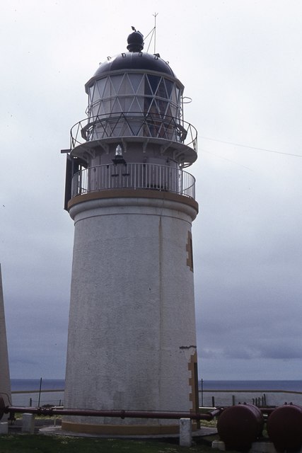
Visitors can access the Stairs of Mous by taking a ferry from the Orkney mainland to Hoy and then embarking on a challenging hike to reach the cliffs. The journey offers stunning panoramic views of the surrounding landscape, and the experience of standing atop these ancient geological formations is truly unforgettable.
If you have any feedback on the listing, please let us know in the comments section below.
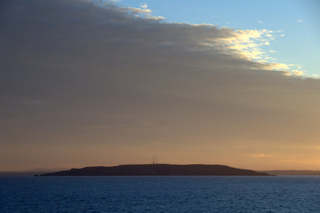
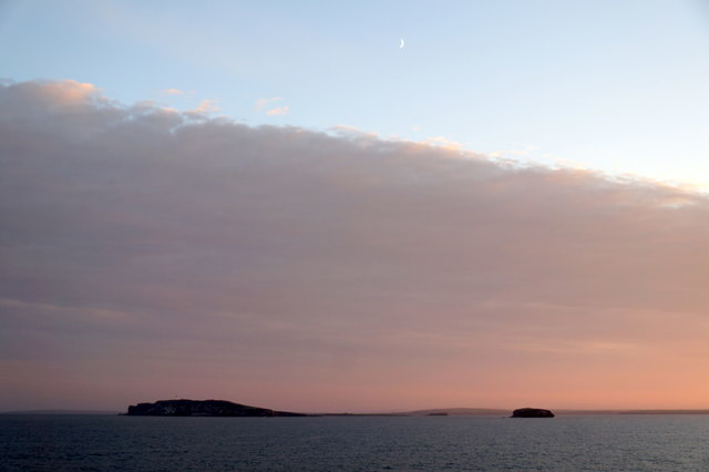
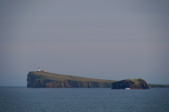
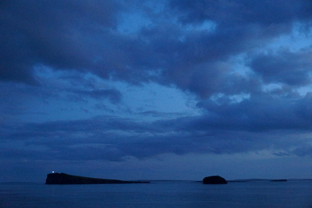
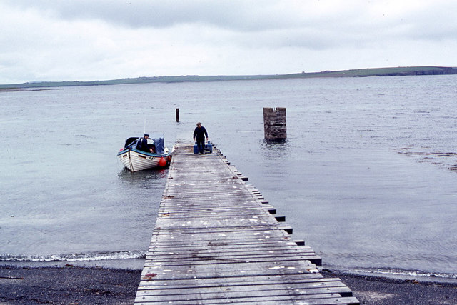
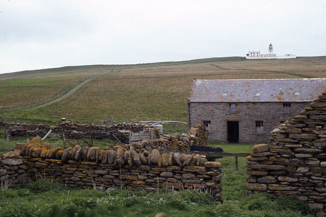
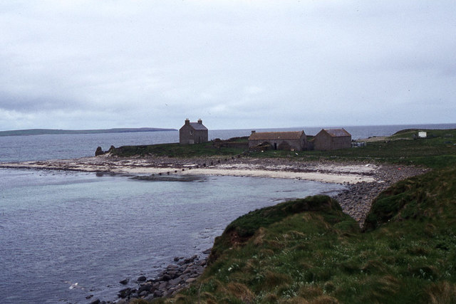
Stairs of Mous Images
Images are sourced within 2km of 58.900473/-2.6799432 or Grid Reference HY6001. Thanks to Geograph Open Source API. All images are credited.
Stairs of Mous is located at Grid Ref: HY6001 (Lat: 58.900473, Lng: -2.6799432)
Unitary Authority: Orkney Islands
Police Authority: Highlands and Islands
What 3 Words
///daunted.loud.mock. Near Deerness, Orkney Islands
Nearby Locations
Related Wikis

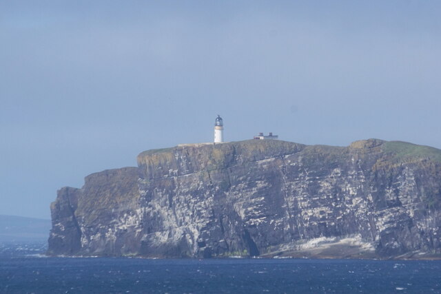
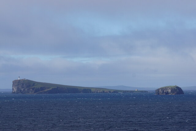
Copinsay
Copinsay (Old Norse: Kolbeinsey) is one of the Orkney Islands in Scotland, lying off the east coast of the Orkney Mainland. The smaller companion island...

Corn Holm
Corn Holm is a small tidal island in Orkney, near Copinsay to the west, off the north-eastern coast of Scotland. There was once a small chapel there, and...
Black Holm
Black Holm is a small tidal island in the Orkney Islands, near Copinsay to the west of Corn Holm off the north-eastern coast of Scotland. == Geography... ==

Horse of Copinsay
The Horse of Copinsay, also known as the Horse, is a rectangular uninhabited sea stack to the north east of Copinsay in the Orkney Islands, Scotland....
Nearby Amenities
Located within 500m of 58.900473,-2.6799432Have you been to Stairs of Mous?
Leave your review of Stairs of Mous below (or comments, questions and feedback).