Green Banks
Cliff, Slope in Orkney
Scotland
Green Banks

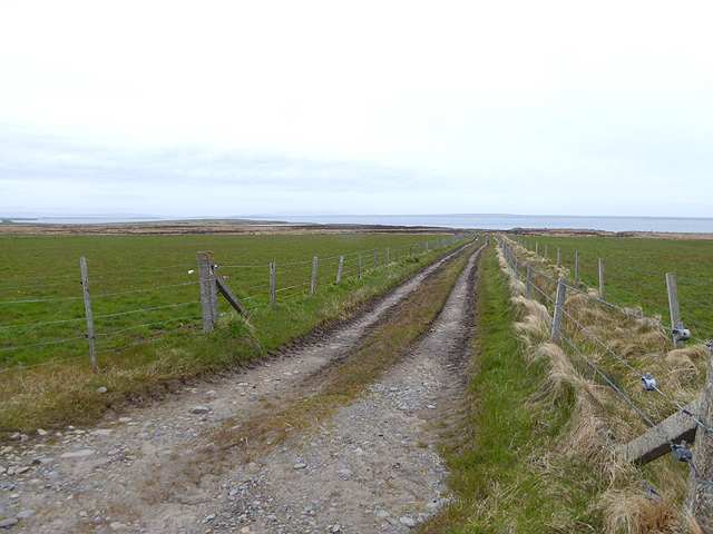
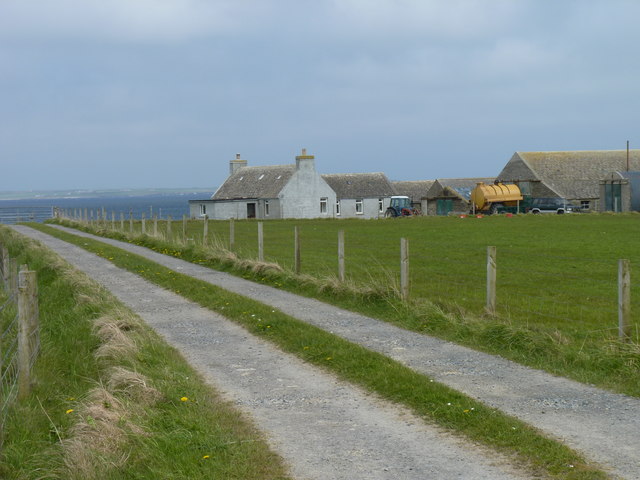
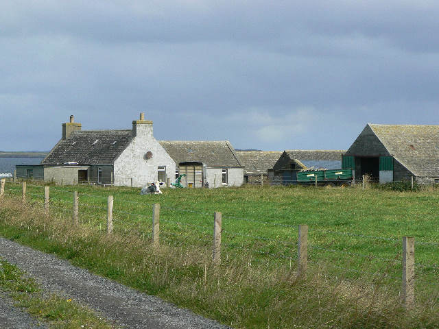
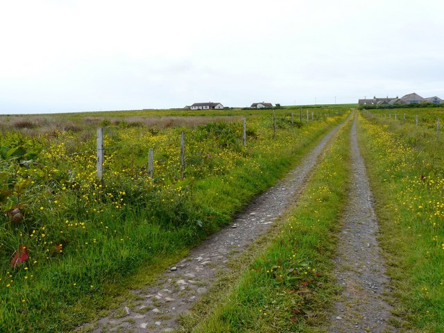
Green Banks is a geographical feature located in the picturesque Orkney Islands, an archipelago situated off the northeastern coast of Scotland. It is specifically found on the island of Orkney, near the southern coast. Green Banks is a prominent cliff and slope formation that extends along the shoreline, offering breathtaking views of the surrounding landscape and the North Sea.
The cliff face of Green Banks rises to a considerable height, creating a striking visual spectacle. The rugged cliffs are composed of layered sedimentary rocks, displaying various hues of green, hence the name Green Banks. The vibrant colors are a result of the presence of minerals such as chlorite and epidote, which give the rocks their distinct greenish appearance.
The cliff's steepness gradually transitions into a gentle slope as it descends towards the shoreline. This slope is covered with lush grass and vegetation, adding to the natural beauty of the area. The combination of the towering cliffs, verdant slopes, and the vast expanse of the North Sea creates a captivating panorama that attracts both locals and tourists alike.
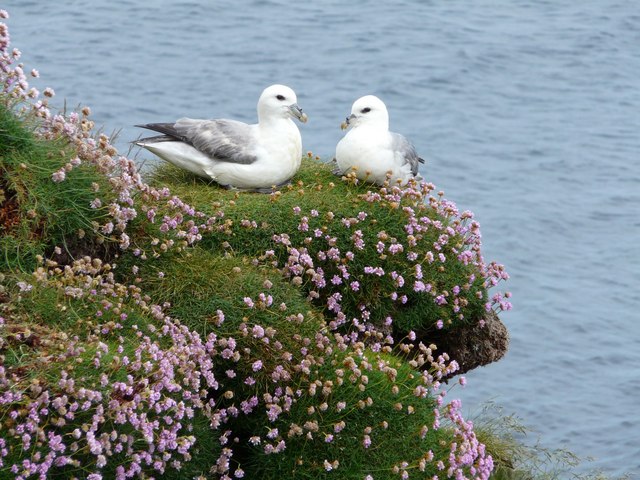
Green Banks is not only a visually stunning location but also an important habitat for various bird species that nest in the cliffs and slopes. The area provides nesting sites and shelter for seabirds such as fulmars, guillemots, and puffins, enhancing its ecological significance.
Overall, Green Banks in Orkney is a remarkable natural feature that showcases the region's geological diversity and provides a haven for wildlife. Its scenic beauty, geological formations, and ecological importance make it a must-visit destination for nature enthusiasts and those seeking a glimpse of Orkney's enchanting landscapes.
If you have any feedback on the listing, please let us know in the comments section below.
Green Banks Images
Images are sourced within 2km of 58.978012/-2.8638211 or Grid Reference HY5010. Thanks to Geograph Open Source API. All images are credited.


Green Banks is located at Grid Ref: HY5010 (Lat: 58.978012, Lng: -2.8638211)
Unitary Authority: Orkney Islands
Police Authority: Highlands and Islands
What 3 Words
///hurtles.goods.gross. Near Tankerness, Orkney Islands
Nearby Locations
Related Wikis

Loch of Tankerness
Loch of Tankerness is a large, lowland, freshwater loch on the Orkney mainland in Scotland. The loch is roughly triangular in shape and is shallow with...

St Andrews, Orkney
St Andrews is a parish on Mainland, Orkney in Scotland. It is located east of the town of Kirkwall and the parish of St Ola and lies north of Holm and...

Kirkwall Airport
Kirkwall Airport (IATA: KOI, ICAO: EGPA) (Scottish Gaelic: Port-adhair Bhaile na h-Eaglais) is the main airport serving Orkney in Scotland. It is located...
Tankerness
Tankerness is a district in the St Andrews parish in Mainland, Orkney, Scotland. Essentially a peninsula, it is about 13 kilometres (8 mi) south-east of...

Toab, Orkney
Toab is a parish on the Orkney Mainland, situated in the East Mainland. Toab is located off the A960 road at the head of Deer Sound on the Mainland, Orkney...

Mine Howe
Mine Howe is an Iron Age subterranean man-made chamber dug 6 meters (20 feet) deep inside a large mound. It is located in the Tankerness area of Orkney...
Kirkwall Grammar School
Kirkwall Grammar School is a secondary school in Kirkwall, Orkney, Scotland. It was established in c. 1200. The current school building was opened in 2014...
UHI Archaeology Institute
UHI Archaeology Institute is an academic department of the University of the Highlands and Islands in Scotland. It was founded in 2014, incorporating Orkney...
Nearby Amenities
Located within 500m of 58.978012,-2.8638211Have you been to Green Banks?
Leave your review of Green Banks below (or comments, questions and feedback).