Point of Greenbanks
Coastal Feature, Headland, Point in Orkney
Scotland
Point of Greenbanks

Point of Greenbanks is a prominent headland located on the west coast of the Orkney Islands, Scotland. Situated near the village of Burray, it is a distinctive coastal feature that juts out into the North Atlantic Ocean. The headland offers stunning panoramic views of the surrounding rugged cliffs, vast sea, and neighboring islands.
Characterized by its rocky terrain and craggy cliffs, Point of Greenbanks is known for its dramatic landscapes and natural beauty. The headland is composed of sedimentary rocks, primarily sandstone and flagstone, which have been eroded by the relentless power of the ocean over time. This erosion has created fascinating geological formations, including sea caves, arches, and stacks, which attract visitors and nature enthusiasts.
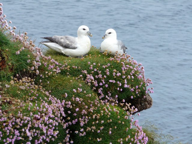
The headland is a haven for a wide variety of seabirds, making it a popular spot for birdwatching. Species such as puffins, fulmars, guillemots, and razorbills can be spotted nesting on the cliffs and soaring above the crashing waves. The coastal waters surrounding Point of Greenbanks are also home to diverse marine life, including seals, dolphins, and occasionally even orcas.
Accessible by a coastal trail that winds along the clifftops, Point of Greenbanks offers an opportunity for visitors to enjoy a peaceful and scenic walk while immersing themselves in the natural wonders of the Orkney Islands. The headland provides a perfect vantage point for witnessing breathtaking sunsets and experiencing the raw power of the ocean against the rugged coastline. Its untouched beauty and remote location make Point of Greenbanks a must-visit destination for nature lovers and those seeking a tranquil escape.
If you have any feedback on the listing, please let us know in the comments section below.
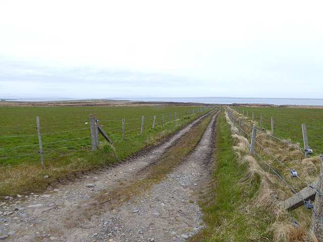
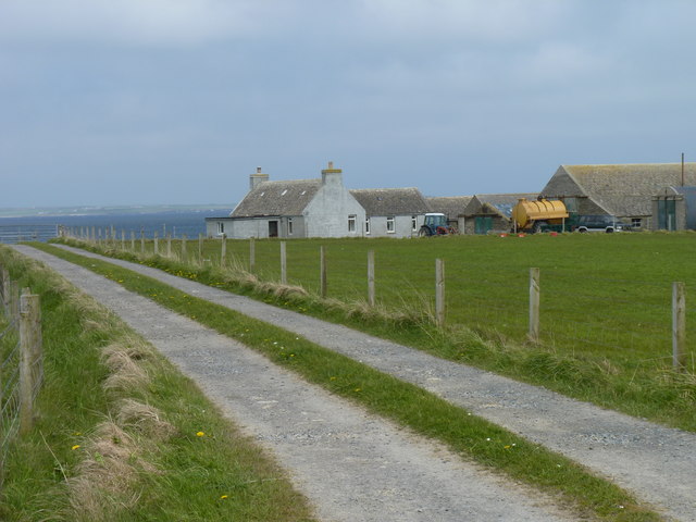
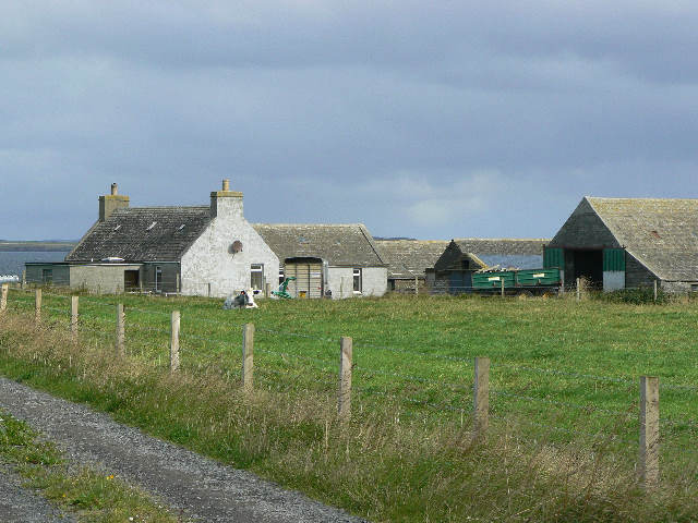
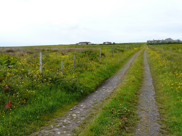
Point of Greenbanks Images
Images are sourced within 2km of 58.977772/-2.8647719 or Grid Reference HY5010. Thanks to Geograph Open Source API. All images are credited.


Point of Greenbanks is located at Grid Ref: HY5010 (Lat: 58.977772, Lng: -2.8647719)
Unitary Authority: Orkney Islands
Police Authority: Highlands and Islands
What 3 Words
///coveted.making.headlight. Near Tankerness, Orkney Islands
Nearby Locations
Related Wikis

Loch of Tankerness
Loch of Tankerness is a large, lowland, freshwater loch on the Orkney mainland in Scotland. The loch is roughly triangular in shape and is shallow with...

St Andrews, Orkney
St Andrews is a parish on Mainland, Orkney in Scotland. It is located east of the town of Kirkwall and the parish of St Ola and lies north of Holm and...

Kirkwall Airport
Kirkwall Airport (IATA: KOI, ICAO: EGPA) (Scottish Gaelic: Port-adhair Bhaile na h-Eaglais) is the main airport serving Orkney in Scotland. It is located...
Tankerness
Tankerness is a district in the St Andrews parish in Mainland, Orkney, Scotland. Essentially a peninsula, it is about 13 kilometres (8 mi) south-east of...
Nearby Amenities
Located within 500m of 58.977772,-2.8647719Have you been to Point of Greenbanks?
Leave your review of Point of Greenbanks below (or comments, questions and feedback).