Ellel Crag
Cliff, Slope in Lancashire Lancaster
England
Ellel Crag
Ellel Crag is a prominent geological feature located in Lancashire, England. It is a stunning cliff and slope formation that stretches for approximately 1.5 kilometers. Situated near Ellel village, the crag is composed of a mix of sedimentary rocks, including limestone and shale, which have been shaped by millions of years of natural processes.
The cliff face of Ellel Crag rises to an impressive height of around 60 meters. Its distinct layers of rock formations provide a visual record of the area's geological history. Fossilized remains of marine life, such as ammonites and corals, can sometimes be found embedded within the rocks, offering valuable insights into the region's ancient marine ecosystems.
The slope of Ellel Crag extends downward from the cliff face and is covered in a variety of vegetation, including grasses, shrubs, and trees. This diverse plant life supports a range of animal species, including birds, small mammals, and insects.
The crag and its surroundings are popular among outdoor enthusiasts and nature lovers. Hikers and rock climbers are drawn to the challenging terrain, with the cliff face providing a thrilling backdrop for climbers of all abilities. The views from the top of the crag are breathtaking, offering sweeping vistas of the surrounding countryside.
Ellel Crag is not only a geological marvel but also a site of historical significance. It has been the subject of archaeological investigations, with evidence of human activity dating back thousands of years. The crag's strategic position and commanding views suggest it may have been used for defensive purposes in ancient times.
Overall, Ellel Crag is a natural and cultural treasure, offering visitors an opportunity to appreciate the beauty of Lancashire's landscape and delve into its rich geological and historical heritage.
If you have any feedback on the listing, please let us know in the comments section below.
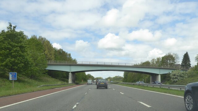
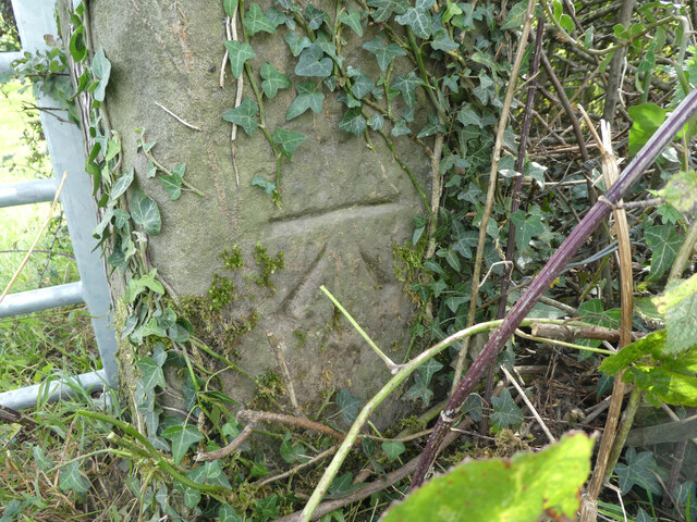
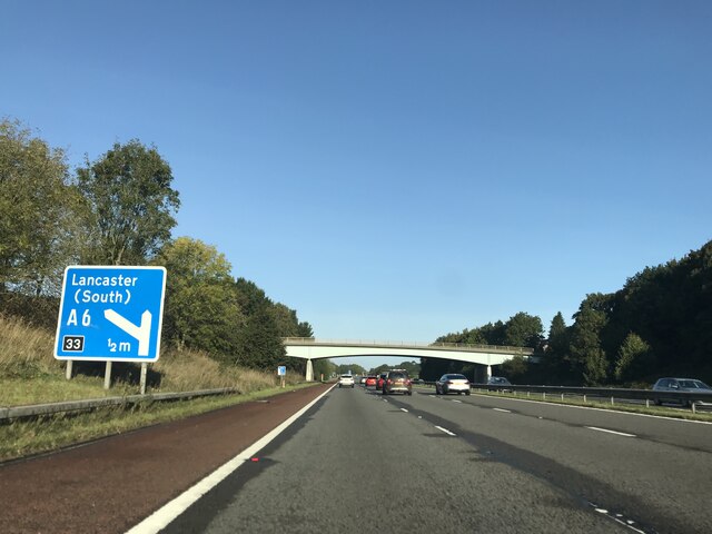
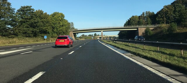
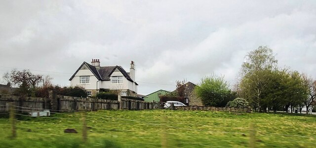
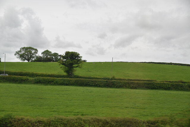
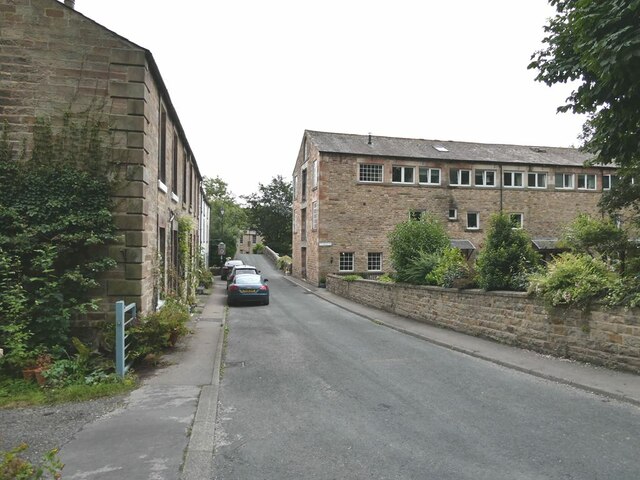
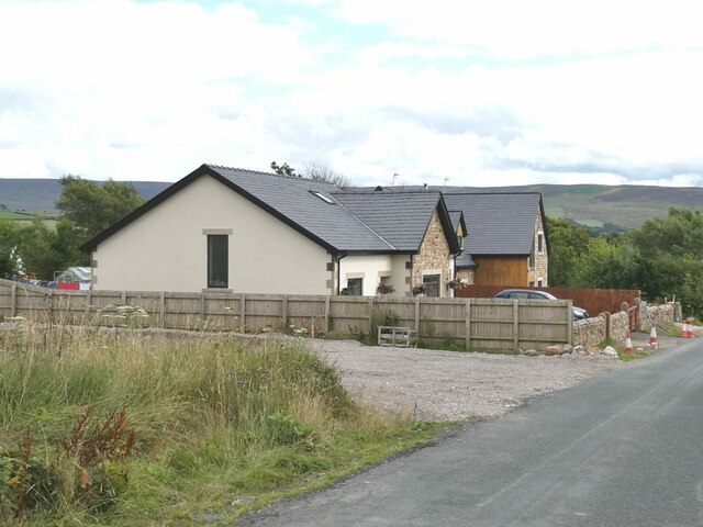
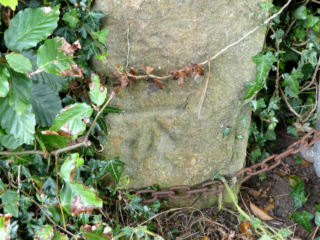
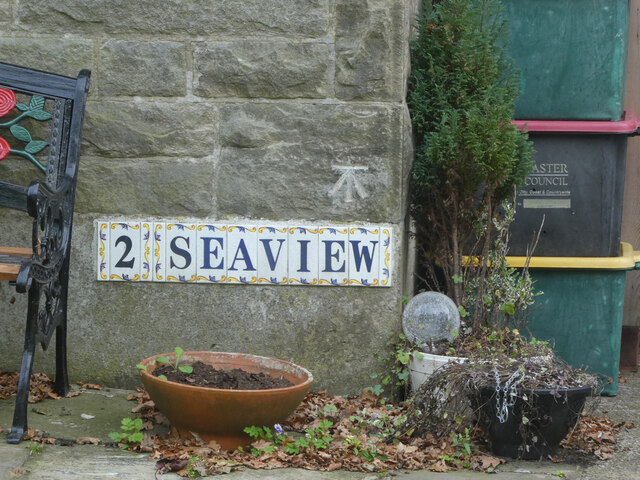
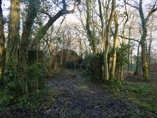
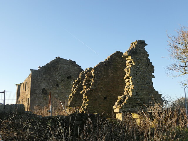
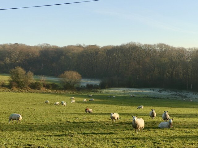
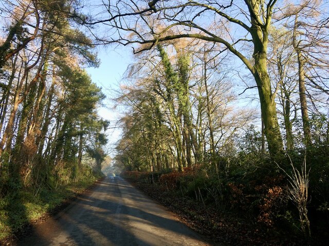
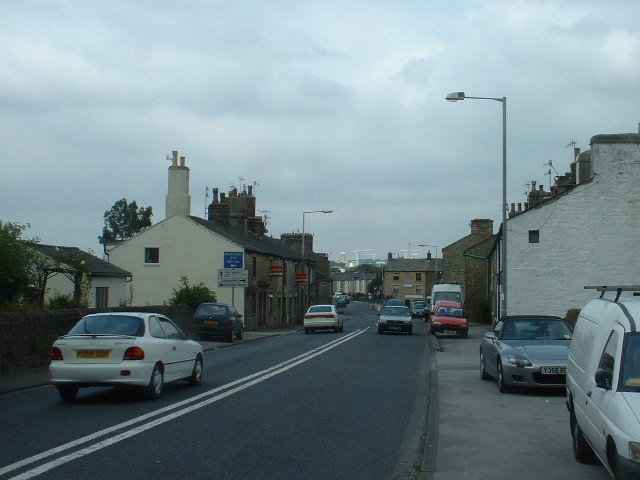
Ellel Crag Images
Images are sourced within 2km of 53.986721/-2.7563262 or Grid Reference SD5054. Thanks to Geograph Open Source API. All images are credited.


Ellel Crag is located at Grid Ref: SD5054 (Lat: 53.986721, Lng: -2.7563262)
Administrative County: Lancashire
District: Lancaster
Police Authority: Lancashire
What 3 Words
///huts.pairings.goals. Near Bay Horse, Lancashire
Nearby Locations
Related Wikis

Wyre (UK Parliament constituency)
Wyre was a parliamentary constituency in the Wyre district of Lancashire. It returned one Member of Parliament (MP) to the House of Commons of the Parliament...

Dolphinholme
Dolphinholme is a historic village in Lancashire, North West England. == History == In the 18th and 19th centuries the village played an important part...
St Mark's Church, Dolphinholme
St Mark's Church is in the village of Dolphinholme, Lancashire, England. It is an active Anglican parish church in the deanery of Lancaster and Morecambe...
Galgate
Galgate is a village in the City of Lancaster, just south of Lancaster University, and about 3 miles (4.8 km) south of Lancaster itself in the English...

Dolphinholme Worsted Mill
Dolphinholme Worsted Mill is a textile mill located in the village of Dolphinholme, Lancashire. The Worsted Spinning Mill was built in 1795 by Thomas Hinde...
Galgate railway station
Galgate railway station served the village of Galgate in Lancashire, England. == References ==
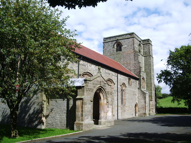
St John's Church, Ellel
St John's Church is in Chapel Lane, Ellel, Lancashire, England. It is an active Anglican parish church in the deanery of Lancaster and Morecambe, the archdeaconry...

Bay Horse
Bay Horse is a sparsely populated hamlet in the English county of Lancashire. It lies between Lancaster and Preston to the north and south respectively...
Nearby Amenities
Located within 500m of 53.986721,-2.7563262Have you been to Ellel Crag?
Leave your review of Ellel Crag below (or comments, questions and feedback).