Salcombe Hill Cliff

Cliff, Slope in Devon East Devon

England

Salcombe Hill Cliff

Wall of Sidmouth's Victorian Jail (The Old Jail) A short stretch of wall with two windows with iron bars; all that remains of the jail; the blue plaque is at <a href="https://www.geograph.org.uk/photo/7692555">SY1287 : Blue plaque on wall of Sidmouth's Victorian jail</a>
Wall of Sidmouth's Victorian Jail (The Old Jail) Credit: David Smith

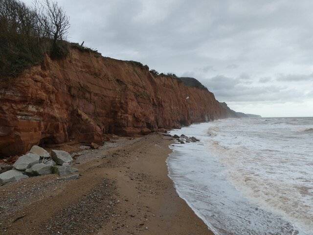
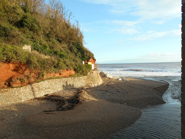
Salcombe Hill Cliff is a prominent geological feature located in the coastal town of Sidmouth, Devon, in the United Kingdom. It is an imposing cliff that stretches along the coastline of the English Channel, offering breathtaking views of the surrounding area.

This cliff is characterized by its steep slope, which rises to a height of approximately 150 meters above sea level. The cliff face is made up of layers of sedimentary rock, primarily consisting of sandstone and mudstone. These rocks are believed to have been formed during the Triassic and Jurassic periods, millions of years ago.

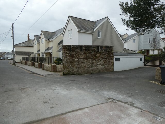
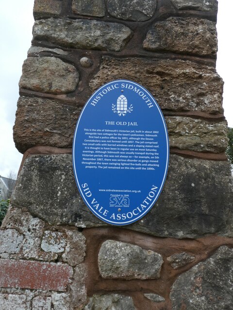
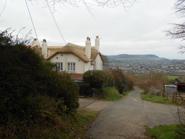
Salcombe Hill Cliff is a popular destination for both locals and tourists due to its natural beauty and its historical significance. The cliff offers several walking trails, allowing visitors to explore its magnificent scenery and observe the diverse wildlife that inhabits the area. At its highest point, the cliff offers panoramic views of the town of Sidmouth and the surrounding countryside.

The cliff also holds archaeological importance, with evidence of prehistoric settlement and ancient burial sites discovered in the area. The cliff's geological formations have attracted the attention of scientists and geologists, who study its unique composition and use it as a reference point for understanding the region's geological history.

Salcombe Hill Cliff is not only a geological wonder but also a cherished natural landmark in Devon. Its towering presence, stunning views, and rich history make it a must-visit destination for nature enthusiasts and those interested in the earth's geological past.

If you have any feedback on the listing, please let us know in the comments section below.

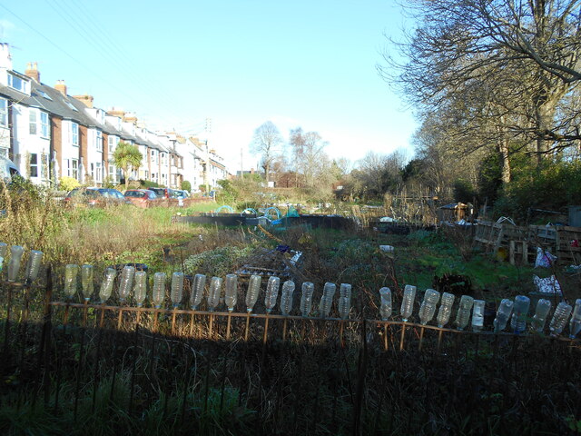
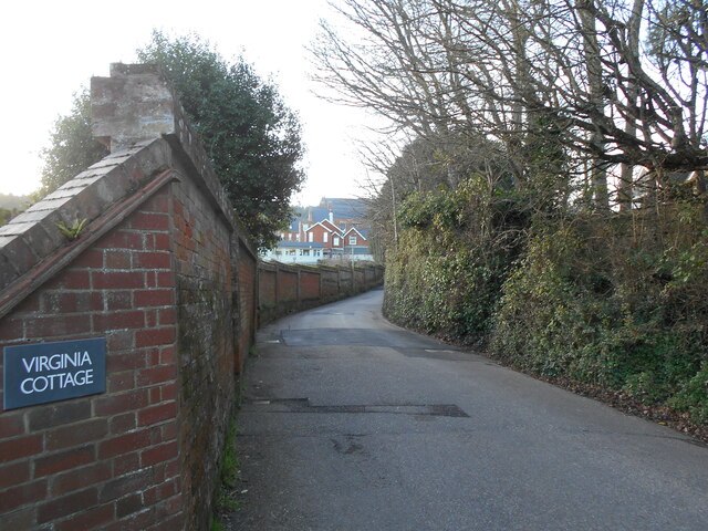
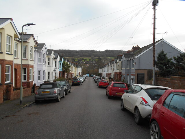
Salcombe Hill Cliff Images

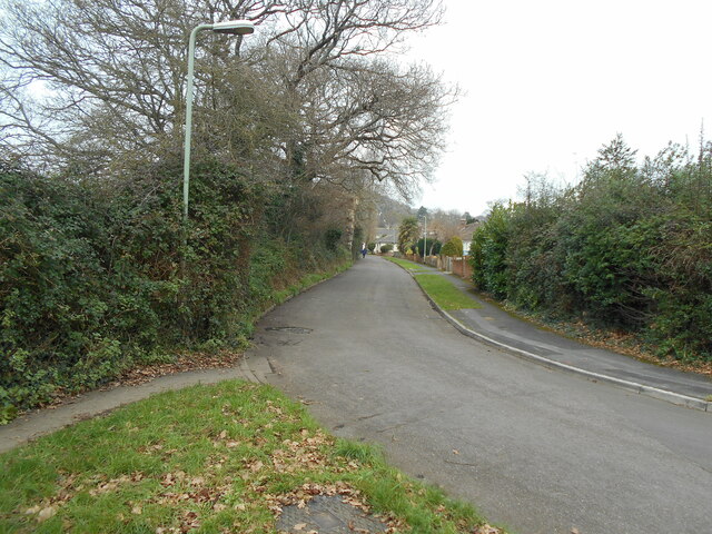
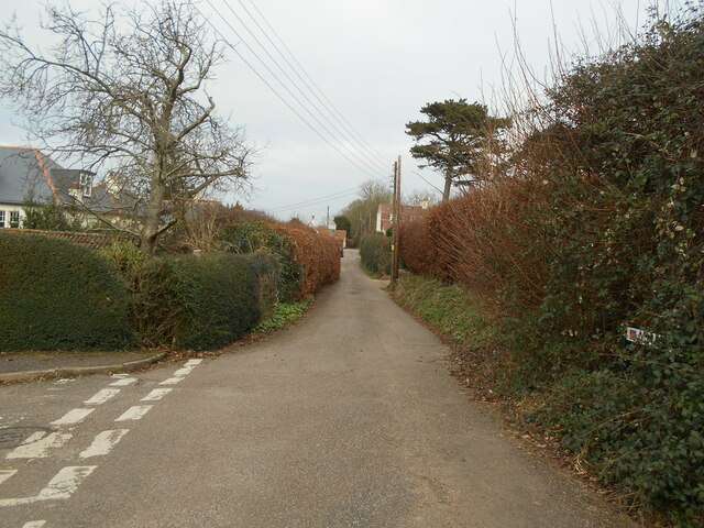
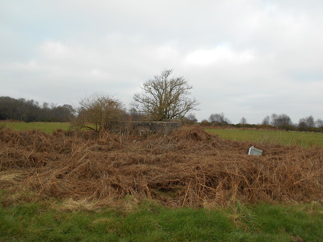
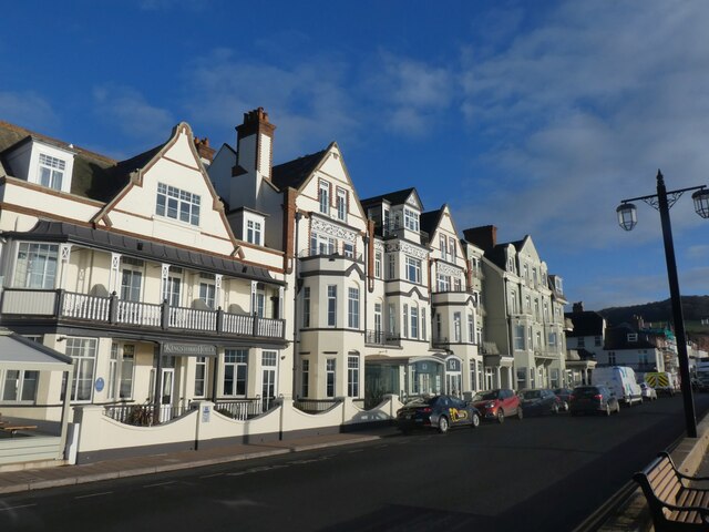
Images are sourced within 2km of 50.680804/-3.2223089 or Grid Reference SY1387. Thanks to Geograph Open Source API. All images are credited.

Wall of Sidmouth's Victorian Jail (The Old Jail) A short stretch of wall with two windows with iron bars; all that remains of the jail; the blue plaque is at <a href="https://www.geograph.org.uk/photo/7692555">SY1287 : Blue plaque on wall of Sidmouth's Victorian jail</a>
Wall of Sidmouth's Victorian Jail (The Old Jail)
A short stretch of wall with two windows with iron bars; all that remains of the jail; the blue plaque is at SY1287 : Blue plaque on wall of Sidmouth's Victorian jail
Blue plaque on wall of Sidmouth's Victorian jail The side wall (all that remains) is at <a href="https://www.geograph.org.uk/photo/7692552">SY1287 : Wall of Sidmouth's Victorian Jail (The Old Jail)</a>
Blue plaque on wall of Sidmouth's Victorian jail
The side wall (all that remains) is at SY1287 : Wall of Sidmouth's Victorian Jail (The Old Jail)
Stormy sea, cliffs and cliff falls, east of Sidmouth
Stormy sea on Sidmouth beach
Military Boundary Stone Salcombe Hill, by the junction of the coastal path and one to Salcombe Hill Road. This is a remnant from the days of Semaphore Transmission stations. One was located here. The date predates Benchmarks by about 10 years. The stone can be discerned in the middle of another image see <a href="https://www.geograph.org.uk/photo/2738701">SY1387 : South West Coast Path on Salcombe Hill Cliff</a>

Inscription: 1826 (and War Dept arrow)

Milestone Society National ID: DV_ADSIDM01em
Military Boundary Stone
Salcombe Hill, by the junction of the coastal path and one to Salcombe Hill Road. This is a remnant from the days of Semaphore Transmission stations. One was located here. The date predates Benchmarks by about 10 years. The stone can be discerned in the middle of another image see SY1387 : South West Coast Path on Salcombe Hill Cliff Inscription: 1826 (and War Dept arrow) Milestone Society National ID: DV_ADSIDM01em
Old Boundary Marker on Salcombe Hill, Sidmouth Admiralty Boundary Marker on the South West Coast Path on Salcombe Hill. Sidmouth parish. It is unclear exactly what military use was made of this area of ground. A list of signal stations during the Napoleonic Wars does not include Salcombe Hill <span class="nowrap"><a title="https://sites.rootsweb.com/~pbtyc/18-1900/Misc/Signal_Stations.html" rel="nofollow ugc noopener" href="https://sites.rootsweb.com/~pbtyc/18-1900/Misc/Signal_Stations.html">Link</a><img style="margin-left:2px;" alt="External link" title="External link - shift click to open in new window" src="https://s1.geograph.org.uk/img/external.png" width="10" height="10"/></span>. See also <span class="nowrap"><a title="https://www.heritagegateway.org.uk/Gateway/Results_Single.aspx?uid=MDV63219&resourceID=104" rel="nofollow ugc noopener" href="https://www.heritagegateway.org.uk/Gateway/Results_Single.aspx?uid=MDV63219&resourceID=104">Link</a><img style="margin-left:2px;" alt="External link" title="External link - shift click to open in new window" src="https://s1.geograph.org.uk/img/external.png" width="10" height="10"/></span>.

Milestone Society National ID: DV_ADSIDM01em
Old Boundary Marker on Salcombe Hill, Sidmouth
Admiralty Boundary Marker on the South West Coast Path on Salcombe Hill. Sidmouth parish. It is unclear exactly what military use was made of this area of ground. A list of signal stations during the Napoleonic Wars does not include Salcombe Hill LinkExternal link. See also LinkExternal link. Milestone Society National ID: DV_ADSIDM01em
Walking the dog Approaching Alma bridge from Cliff road.
An earlier footpath ran straight on. This has now fallen into the sea and the path diverted to its new course.
Walking the dog
Approaching Alma bridge from Cliff road. An earlier footpath ran straight on. This has now fallen into the sea and the path diverted to its new course.
Looking up river A view up the River Sid off the new Alma bridge.
The old bridge was replaced due to coastal erosion
Looking up river
A view up the River Sid off the new Alma bridge. The old bridge was replaced due to coastal erosion
An everchanging view The mouth of the River Sid.
the shingle banks continue to move due to either tidal or river actions.
An everchanging view
The mouth of the River Sid. the shingle banks continue to move due to either tidal or river actions.
Lawn Vista allotments Basking in the January sunshine. There are occasions when the nearby River Sid floods and these are then underwater.
The railings belong from a pre health and safety era and still retain spikes.
Note the novel way of resolving this.
Lawn Vista allotments
Basking in the January sunshine. There are occasions when the nearby River Sid floods and these are then underwater. The railings belong from a pre health and safety era and still retain spikes. Note the novel way of resolving this.
A long wall the wall originally enclosed the gardens to Sidmouth convent.
It is now a private school. Part of which can be seen in the distance.
A long wall
the wall originally enclosed the gardens to Sidmouth convent. It is now a private school. Part of which can be seen in the distance.
Lymebourne Avenue Two rows of Edwardian terraced houses.
Lymebourne Avenue
Two rows of Edwardian terraced houses.
Quest  Griggs Lane.
A property with a panoramic view over the Sid valley.
Quest
Griggs Lane. A property with a panoramic view over the Sid valley.
Yarde Hill Orchard The orchard has long given way to housing and the local football pitch.
Yarde Hill Orchard
The orchard has long given way to housing and the local football pitch.
Alma Lane Named after a battle in the Crimean offensive.1853 - 1856.
Alma Lane
Named after a battle in the Crimean offensive.1853 - 1856.
Soldiers Hill water tank, Salcombe Regis A racecourse once occupied this site at the top of the hill.
Soldiers Hill water tank, Salcombe Regis
A racecourse once occupied this site at the top of the hill.
Kingswood and Devoran Hotels, Sidmouth
Royal York and Faulkner Hotel, Sidmouth
Show me another place!

Salcombe Hill Cliff is located at Grid Ref: SY1387 (Lat: 50.680804, Lng: -3.2223089)

Administrative County: Devon

District: East Devon

Police Authority: Devon and Cornwall

What 3 Words

///films.zebra.claim. Near Sidmouth, Devon

Nearby Locations

Salcombe Hill Cliff

Related Wikis

Norman Lockyer Observatory

The Norman Lockyer Observatory, the Lockyer Technology Centre, and the Planetarium (jointly NLO), is a public access optical observatory 1 mile (1.6 km...

River Sid

The River Sid, situated in East Devon, is often claimed to be the shortest complete river in England. It flows for 6.5 miles (10.5 km) southwards from...

Sidmouth Folk Festival

There has been a folk festival in the coastal town of Sidmouth in South West England in the first week of August every year since 1955, attracting tens...

Sidmouth Priory

Sidmouth Priory was a priory in Devon, England. An Alien priory of Benedictine monks, a monastic cell or monastic grange dependent on Mont St Michel founded...

Nearby Amenities

Located within 500m of 50.680804,-3.2223089
Source: PGS
Lat/Long: 50.6795406/-3.2283785
Source: PGS
Lat/Long: 50.6798089/-3.2265684
Source: PGS
Lat/Long: 50.6804795/-3.2208612
Source: PGS
Lat/Long: 50.6807268/-3.2185471
Source: PGS
Lat/Long: 50.6808858/-3.2169218
Source: PGS
Lat/Long: 50.6809257/-3.2164438
Barrier: kissing_gate
Lat/Long: 50.6822602/-3.2157867
Direction: SW
Tourism: viewpoint
Lat/Long: 50.6817353/-3.2220519
Direction: S
Tourism: viewpoint
Lat/Long: 50.6827699/-3.2176732
Bench
Lat/Long: 50.6822107/-3.2223866
Barrier: kissing_gate
Lat/Long: 50.6819633/-3.2211241
Information: guidepost
Tourism: information
Lat/Long: 50.6827412/-3.2175958
Information: guidepost
Tourism: information
Lat/Long: 50.6849038/-3.2204282
Bench
Backrest: yes
Lat/Long: 50.6813378/-3.2246494
Bench
Backrest: no
Lat/Long: 50.6812109/-3.223777
Bench
Lat/Long: 50.6817463/-3.2220255
Bench
Backrest: yes
Lat/Long: 50.6819621/-3.2212423
Bench
Backrest: no
Lat/Long: 50.6828031/-3.217538
Bench
Backrest: no
Lat/Long: 50.6825298/-3.2168274
The Frog Stone
Tourism: artwork
Lat/Long: 50.6828304/-3.2176204
Bench
Backrest: no
Survey Date: 2023-04-07
Lat/Long: 50.6820053/-3.2222142
Bench
Backrest: no
Survey Date: 2023-04-07
Lat/Long: 50.6826779/-3.2172446
The data included in this document is from www.openstreetmap.org. The data is made available under ODbL.

Have you been to Salcombe Hill Cliff?

Leave your review of Salcombe Hill Cliff below (or comments, questions and feedback).