Black Neuk

Cliff, Slope in Kirkcudbrightshire

Scotland

Black Neuk

Natural arch at Brock's Holes Scale is deceptive. You can walk both over and under this arch - although, ideally, in calmer weather than this!
Natural arch at Brock's Holes Credit: Simon Brooke

Black Neuk, located in Kirkcudbrightshire, is a prominent cliff or slope that captivates visitors with its scenic beauty and geological significance. Situated in the southern part of Scotland, this unique natural feature offers stunning views of the surrounding landscape.

Rising majestically from the coastal plain, Black Neuk stands tall with its steep, rugged face. The cliff is composed primarily of sedimentary rocks, including sandstone and shale, which have been shaped over thousands of years by the forces of erosion. This geological formation provides valuable insights into the region's geological history.

The cliff's dark coloration, which gives it its name, is a result of weathering and the presence of minerals within the rocks. It provides a striking contrast against the lush greenery that blankets the lower slopes and the vibrant blue of the nearby sea.

Black Neuk is a haven for wildlife enthusiasts, offering a habitat for a diverse range of plant and animal species. Peregrine falcons, known for their incredible speed and agility, can often be spotted nesting on the cliff face. The surrounding vegetation supports a variety of flora, including heather, gorse, and various grasses.

Visitors to Black Neuk can enjoy panoramic views of the coastline, with the sparkling waters of the Irish Sea stretching out into the distance. The cliff's elevation also provides an ideal vantage point for observing marine life, such as dolphins and seals, as they navigate the waves below.

Overall, Black Neuk in Kirkcudbrightshire is a remarkable natural feature that showcases the beauty and geological diversity of the region. Its breathtaking views, rich wildlife, and geological significance make it a must-visit destination for nature enthusiasts and geology aficionados alike.

If you have any feedback on the listing, please let us know in the comments section below.

Black Neuk Images

Images are sourced within 2km of 54.801852/-3.8861128 or Grid Reference NX7846. Thanks to Geograph Open Source API. All images are credited.

Natural arch at Brock's Holes Scale is deceptive. You can walk both over and under this arch - although, ideally, in calmer weather than this!
Natural arch at Brock's Holes
Scale is deceptive. You can walk both over and under this arch - although, ideally, in calmer weather than this!
Natural Arch on Rascarrel Shore
Natural Arch on Rascarrel Shore With Rascarrel Bay and Airds Hill in the distance
Natural Arch on Rascarrel Shore
With Rascarrel Bay and Airds Hill in the distance
Footbridge over Rascarrel Burn
Rascarrel Burn flowing into Rascarrel Bay At high water the burn is full. The Solway Firth looks calm, and the Cumbrian mountains can be clearly seen in the distance.
Rascarrel Burn flowing into Rascarrel Bay
At high water the burn is full. The Solway Firth looks calm, and the Cumbrian mountains can be clearly seen in the distance.
View from abandoned beach hut Rapidly falling into disrepair this hut was quite substantial with cooking and sleeping quarters, all seemingly now abandoned.
View from abandoned beach hut
Rapidly falling into disrepair this hut was quite substantial with cooking and sleeping quarters, all seemingly now abandoned.
Rocky foreshore at Rascarrel Bay A small pebble beach about 300m south of Rascarrel Burn, accessible by a rough path.
Rocky foreshore at Rascarrel Bay
A small pebble beach about 300m south of Rascarrel Burn, accessible by a rough path.
Beached tree trunk at Rascarrel Bay On a small pebble beach a few hundred yards south of Rascarrel Burn.
Beached tree trunk at Rascarrel Bay
On a small pebble beach a few hundred yards south of Rascarrel Burn.
Rascarrel Bay
Rascarrel Bay
Chalets at Rascarrel Bay
Rascarrel Bay
Rascarrel Bay
Road to Rascarrel Farm
Road to Auchencairn
Road to Auchencairn
Path to Rascarrel Bay Then on to Balcary Bay.
Path to Rascarrel Bay
Then on to Balcary Bay.
Farmland at Rascarrel
Rascarrel steading The steading at Rascarrel
Rascarrel steading
The steading at Rascarrel
Lower Haughs Looking across the valley of the Tacher burn towards the haughs - an area of undrained willow carr - on Nether Hazelfield; Nether Hazelfield farmhouse is upper left.
Lower Haughs
Looking across the valley of the Tacher burn towards the haughs - an area of undrained willow carr - on Nether Hazelfield; Nether Hazelfield farmhouse is upper left.
Show me another place!

Black Neuk is located at Grid Ref: NX7846 (Lat: 54.801852, Lng: -3.8861128)

Unitary Authority: Dumfries and Galloway

Police Authority: Dumfries and Galloway

What 3 Words

///photos.fuse.cricket. Near Kirkcudbright, Dumfries & Galloway

Related Wikis

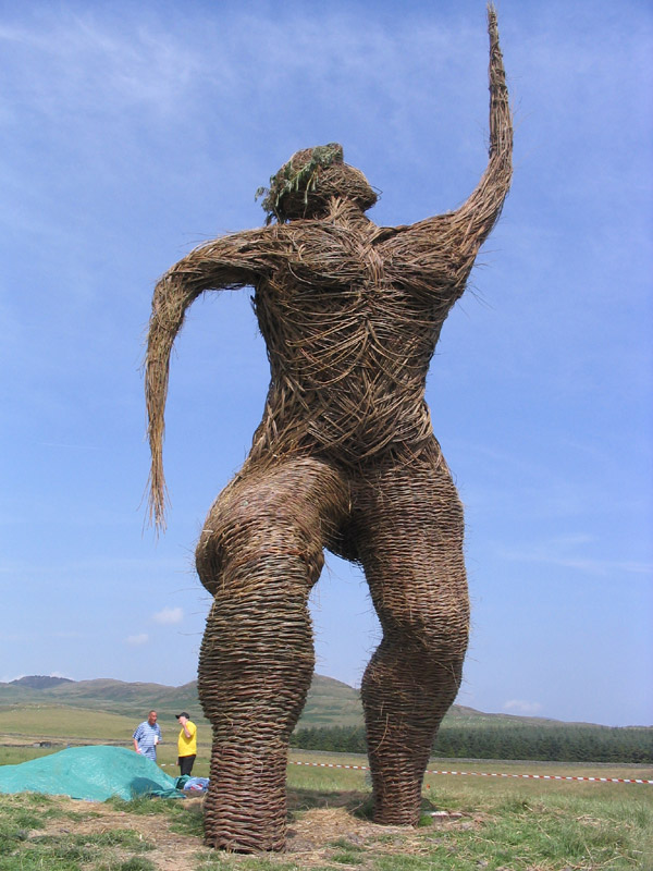
Wickerman Festival

The Wickerman Festival was an annual music festival held near Auchencairn in Dumfries and Galloway, Scotland. Dubbed "Scotland's Alternative Music festival...

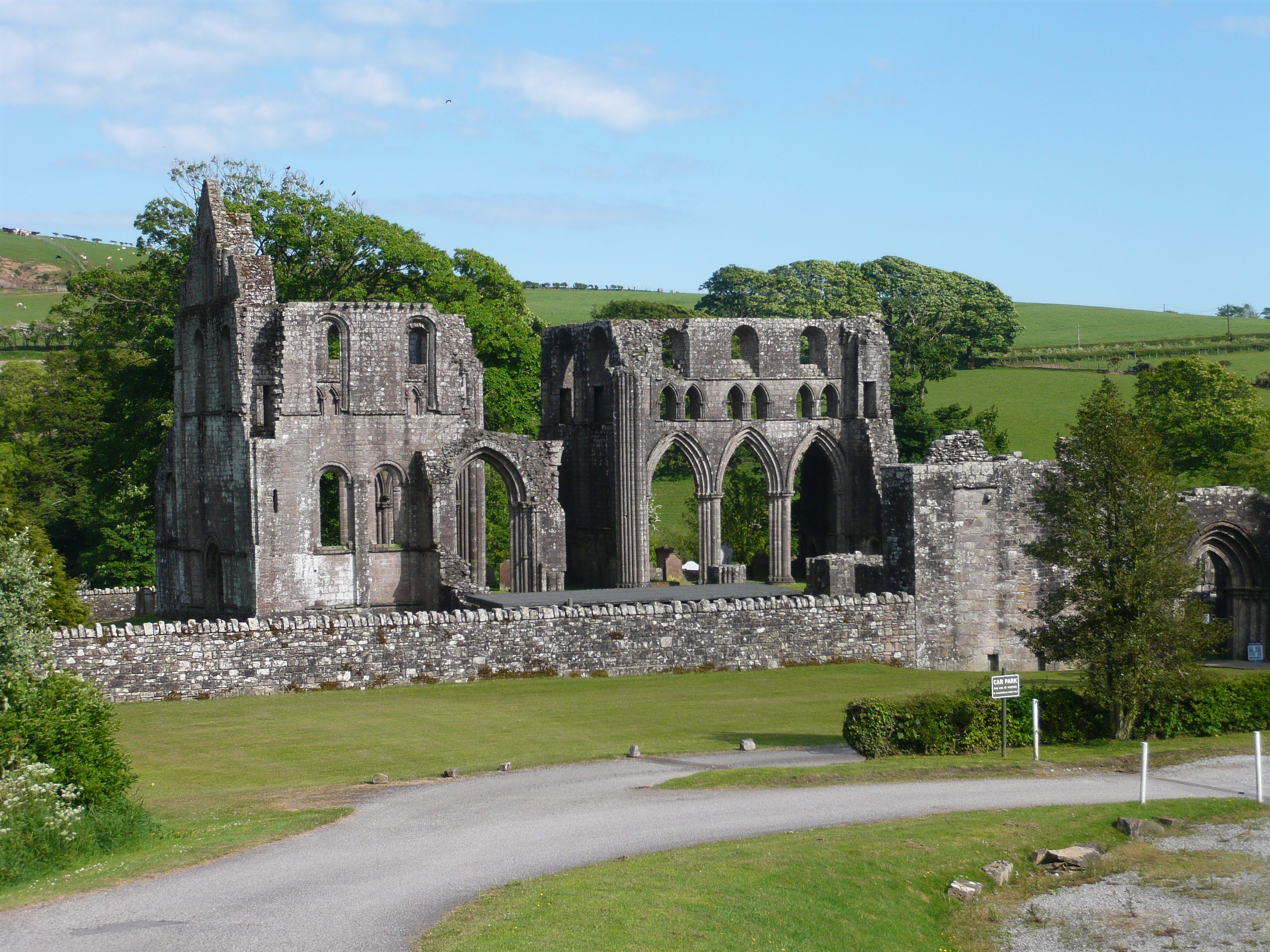
Dundrennan Abbey

Dundrennan Abbey, in Dundrennan, Scotland, near to Kirkcudbright, was a Cistercian monastery in the Romanesque architectural style, established in 1142...

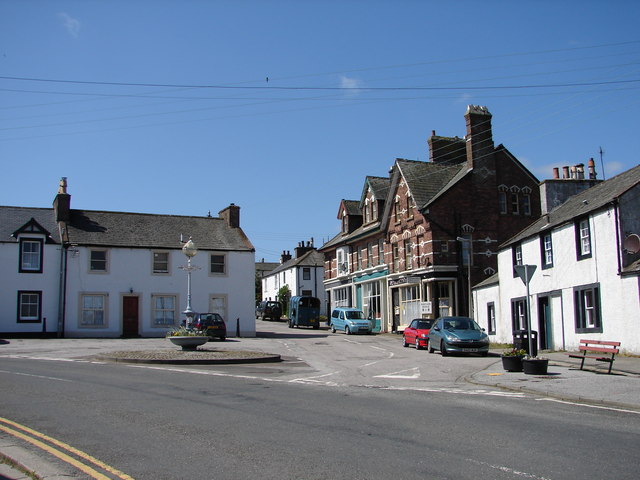
Dundrennan

Dundrennan (Gaelic: Dun Droighnein) is a village Dumfries and Galloway, Scotland, about 5 miles (8 km) east of Kirkcudbright. Its population is around...

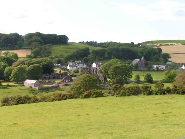
Auchencairn

Auchencairn ([ɔxən'kʰɛ:(r)n]) is a village in the historical county of Kirkcudbrightshire in the Dumfries and Galloway region of Scotland. It is located...

Urr Water

Urr Water or River Urr (arc. River Orr) is a river in which flows through the counties of Dumfriesshire and Kirkcudbrightshire in southwest Scotland....

Abbey Head

Abbey Head is a headland on the Solway Firth coast of Dumfries and Galloway. == References ==

Hestan Island

Hestan Island is a small coastal island at the southern foot of the River Urr estuary in the Solway Firth, in the historical county of Kirkcudbrightshire...

Orchardton Castle

Orchardton Castle overlooks the Solway Coast. Built in the 1880s, this is a Grade B listed property formerly known as Orchardton House. Built around a...

Nearby Amenities

Located within 500m of 54.801852,-3.8861128
Source: PGS
Lat/Long: 54.7989581/-3.8919685
Source: PGS
Lat/Long: 54.7991202/-3.8917087
Source: PGS
Lat/Long: 54.7992171/-3.8914887
Source: PGS
Lat/Long: 54.799315/-3.8910618
Source: PGS
Lat/Long: 54.7995494/-3.8912886
Source: PGS
Lat/Long: 54.7997049/-3.8908306
Source: PGS
Lat/Long: 54.7994911/-3.8902623
Source: PGS
Lat/Long: 54.7996502/-3.8898668
Source: PGS
Lat/Long: 54.7999053/-3.8897664
Source: PGS
Lat/Long: 54.8000984/-3.8887871
Source: PGS
Lat/Long: 54.8002861/-3.8881899
Source: PGS
Lat/Long: 54.7999504/-3.8876376
Source: PGS
Lat/Long: 54.8002406/-3.8876295
Source: PGS
Lat/Long: 54.8004338/-3.8870334
Source: PGS
Lat/Long: 54.800066/-3.8867597
Source: PGS
Lat/Long: 54.8006296/-3.8859277
Source: PGS
Lat/Long: 54.8010486/-3.88635
Source: PGS
Lat/Long: 54.8014748/-3.8857687
Source: PGS
Lat/Long: 54.8019456/-3.8853057
Source: PGS
Lat/Long: 54.8022427/-3.8840702
Source: PGS
Lat/Long: 54.802584/-3.8818563
Source: PGS
Lat/Long: 54.8027476/-3.8802706
Barlocoo Bay
Natural: bay
Source: Popular Edition (Scotland)
Lat/Long: 54.8024033/-3.8801747
The data included in this document is from www.openstreetmap.org. The data is made available under ODbL.

Have you been to Black Neuk?

Leave your review of Black Neuk below (or comments, questions and feedback).