Horney
Cliff, Slope in Wigtownshire
Scotland
Horney

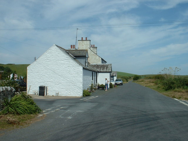
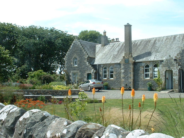
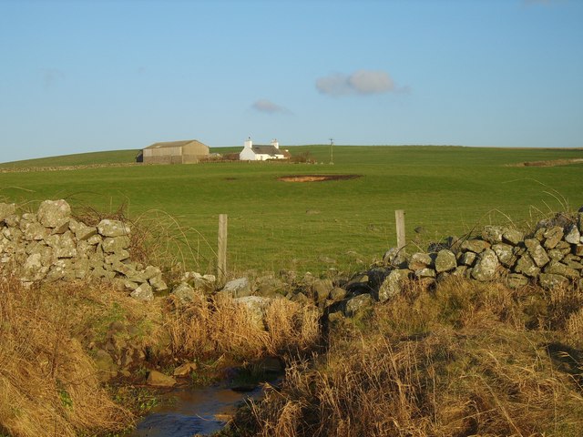
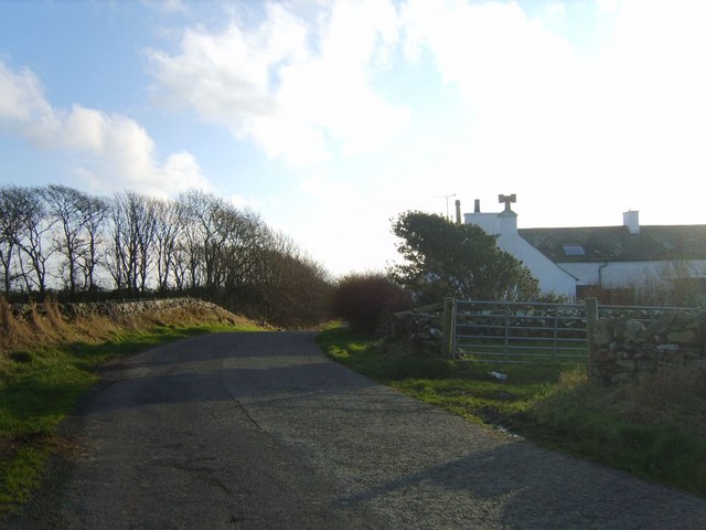
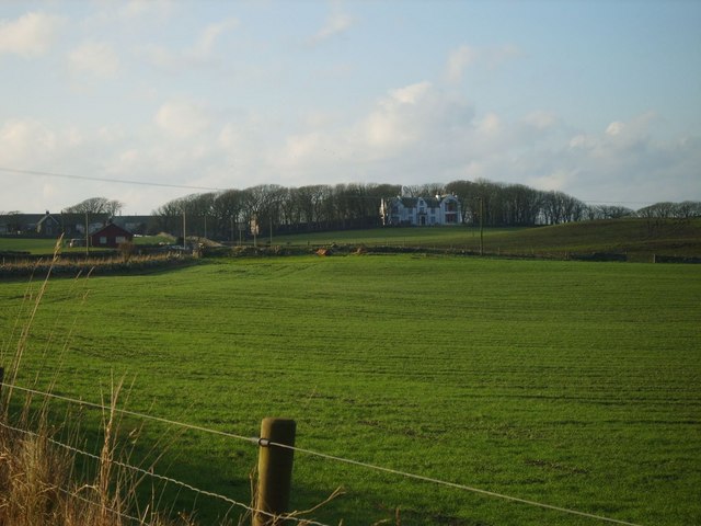
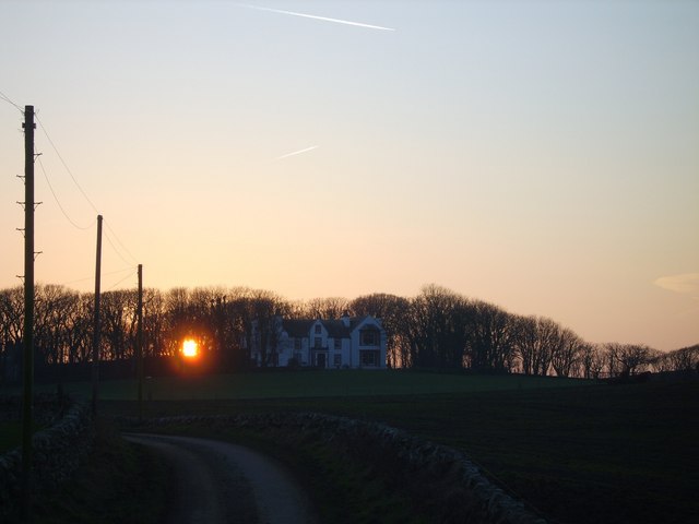
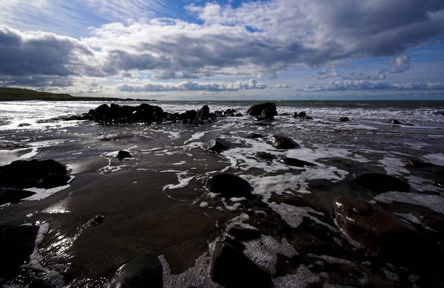
Horney, Wigtownshire (also known as Cliff or Slope) is a small coastal village located in the southwestern region of Scotland. Situated in the historical county of Wigtownshire, this picturesque village offers stunning views of the Irish Sea and is surrounded by rolling green hills.
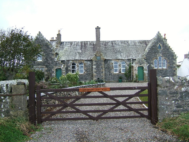
Horney is characterized by its charming, traditional stone cottages and a close-knit community. The village is home to a population of approximately 250 residents, creating a warm and inviting atmosphere. Its remote location adds to its appeal, making it a tranquil and peaceful place to reside.
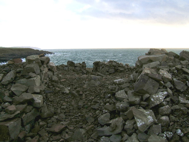
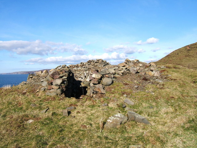
The village is perched on a steep slope, overlooking a rugged coastline. Its cliffs, which give the village its alternative name, provide a dramatic backdrop and offer breathtaking vistas. Nature enthusiasts will find an abundance of wildlife and bird species in the area, making it a haven for birdwatching and nature photography.
Although small in size, Horney offers a range of amenities for both residents and visitors. It features a local pub, a small convenience store, and a post office, providing essential services to the community. The village is also well-connected to nearby towns and cities, with good road links and public transportation options available.
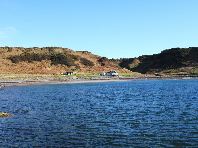
For those seeking outdoor activities, Horney offers opportunities for hiking, fishing, and exploring the nearby Galloway Forest Park, which boasts extensive woodland and beautiful lochs. The village's proximity to the coast also makes it an ideal spot for beach walks and water sports.
In summary, Horney, Wigtownshire (Cliff, Slope) is a charming coastal village with stunning views, a close-knit community, and a range of outdoor activities to enjoy.
If you have any feedback on the listing, please let us know in the comments section below.
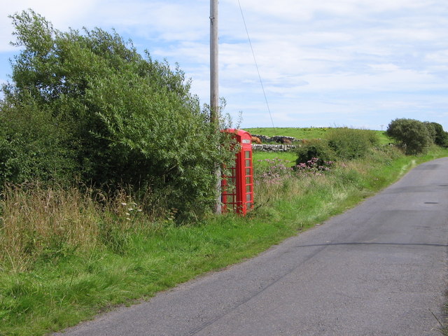
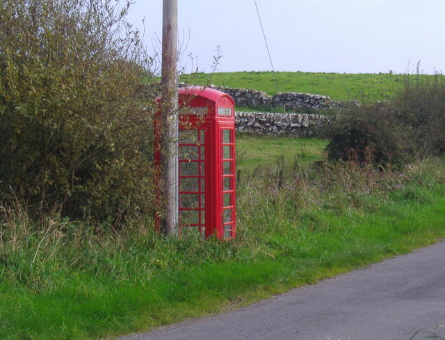
Horney Images
Images are sourced within 2km of 54.767462/-4.998567 or Grid Reference NX0745. Thanks to Geograph Open Source API. All images are credited.


Horney is located at Grid Ref: NX0745 (Lat: 54.767462, Lng: -4.998567)
Unitary Authority: Dumfries and Galloway
Police Authority: Dumfries and Galloway
What 3 Words
///prettiest.pinches.trickles. Near Drummore, Dumfries & Galloway
Nearby Locations
Related Wikis

Doon Castle Broch
Doon Castle Broch is an iron-age broch located in Dumfries and Galloway, Scotland (grid reference NX 06702 44683). == Location == The Broch is located...

Clachanmore
Clachanmore is a village in the South Rhins of Galloway near Ardwell in the south west of Scotland. It has also been known as Low Ardwell.The name of the...

Ardwell
Ardwell (from Gaelic Àrd Bhaile meaning "high town", pronounced as "Ardwell") is a village in the Scottish unitary council area of Dumfries and Galloway...

Logan Botanic Garden
Logan Botanic Garden is a botanical garden near Port Logan on the Rhins of Galloway, at the south-western tip of Scotland. The Botanic Garden was established...
Sandhead
Sandhead is a small village in Dumfries and Galloway, south west Scotland. It overlooks Luce Bay, 7 miles south of Stranraer. The old main road, named...

Port Logan
Port Logan, formerly Port Nessock, is a small village in the parish of Kirkmaiden in the Rhins of Galloway in Wigtownshire. The Gaelic name is Port Neasaig...
Knockinaam Lodge
Knockinaam Lodge is a hotel and restaurant located about 3.5 miles South of Portpatrick, Dumfries & Galloway, Scotland. As of 2008, the restaurant holds...
Stoneykirk
Stoneykirk (Scottish Gaelic: Eaglais Steafain) is an area and a village in the heart of the Rhins of Galloway, Wigtownshire, in the administrative council...
Related Videos


Ardwell bay - Kayak Fishing
Monday Kayak club ventured further afield this week, Ardwell bay - Dumfries and Galloway. 6am on the water in an abnormal 26'c ...
Nearby Amenities
Located within 500m of 54.767462,-4.998567Have you been to Horney?
Leave your review of Horney below (or comments, questions and feedback).