Galloway Port

Bay in Wigtownshire

Scotland

Galloway Port

Oyster catchers on Ardwell Bay nx070450 Ardwell bay, looking ENE across the bay, Oyster Catchers can be seen looking for a late lunch we were waiting to eat ours as well....
Oyster catchers on Ardwell Bay nx070450 Credit: Dave Smethurst

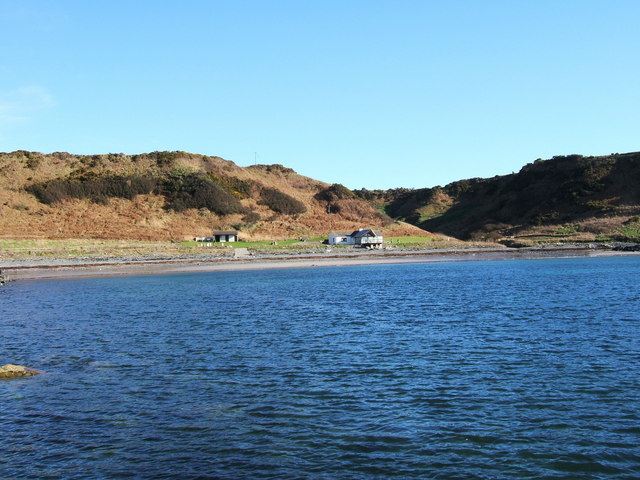
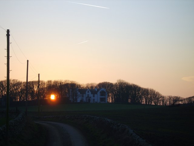
Galloway Port, located in Wigtownshire, Scotland, is a small bay situated on the southern coast of the country. This coastal area is known for its picturesque views, with the bay offering a stunning backdrop of rolling hills and rugged cliffs.

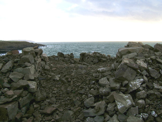
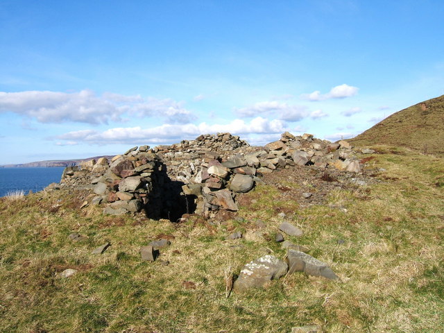
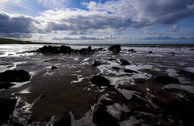
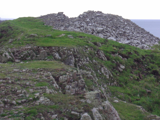
Galloway Port is surrounded by a mix of rocky shores and sandy beaches, providing a diverse landscape for visitors to explore. The bay itself is relatively sheltered, making it an ideal spot for various recreational activities such as swimming, kayaking, and sailing.

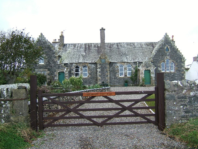
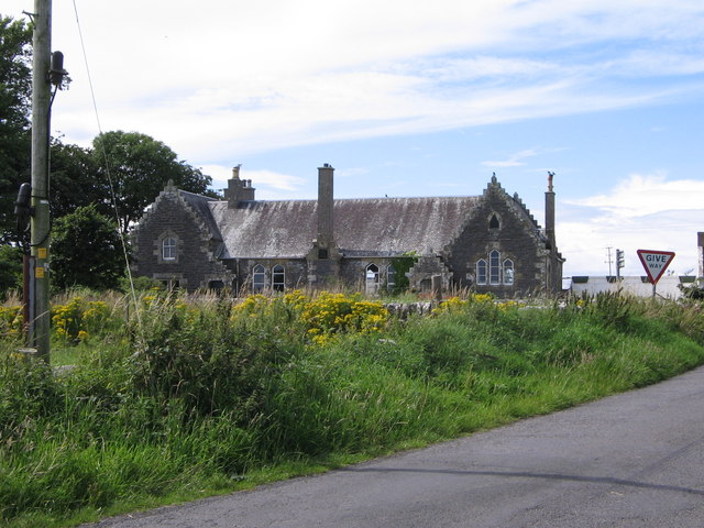
The port has a long history dating back centuries, having served as a trading hub for the region. Today, it primarily functions as a fishing port, with a small fleet of fishing boats operating from its shores. The local fishing industry plays a significant role in the economy of the area, providing employment opportunities for the coastal communities.

In addition to its fishing activities, Galloway Port is also a popular destination for tourists and nature enthusiasts. The bay offers opportunities for birdwatching, with a variety of seabirds and waders frequenting the area. The surrounding cliffs are home to nesting colonies of seabirds, adding to the natural beauty of the region.

For those interested in history, Galloway Port is also home to a small maritime museum, showcasing artifacts and exhibits related to the area's maritime heritage. Visitors can learn about the port's role in Scotland's maritime history and gain insights into the lives of the local fishing communities.

Overall, Galloway Port in Wigtownshire is a charming coastal destination that offers a mix of natural beauty, recreational activities, and cultural experiences.

If you have any feedback on the listing, please let us know in the comments section below.

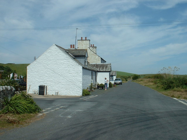
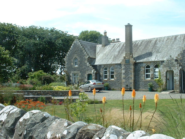
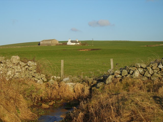
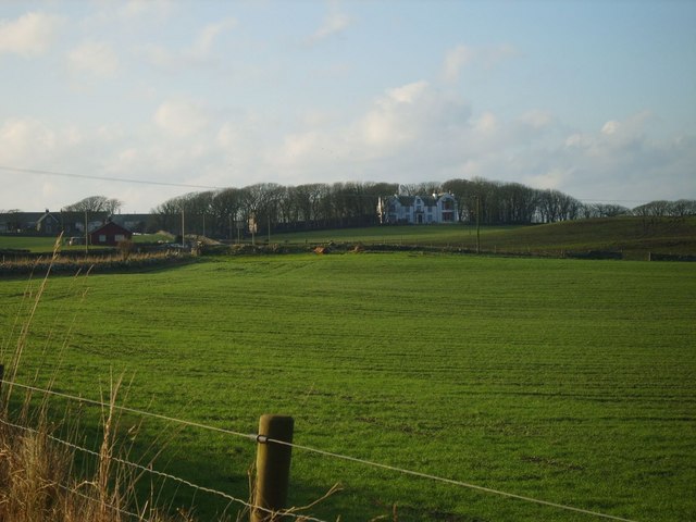
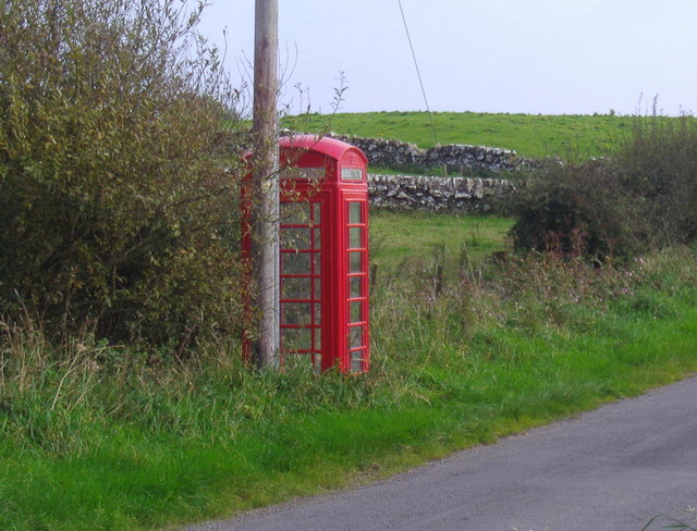
Galloway Port Images

Images are sourced within 2km of 54.767392/-5.000692 or Grid Reference NX0745. Thanks to Geograph Open Source API. All images are credited.

Oyster catchers on Ardwell Bay nx070450 Ardwell bay, looking ENE across the bay, Oyster Catchers can be seen looking for a late lunch we were waiting to eat ours as well....
Oyster catchers on Ardwell Bay nx070450
Ardwell bay, looking ENE across the bay, Oyster Catchers can be seen looking for a late lunch we were waiting to eat ours as well....
The old schoolhouse at Clachanmore, Ardwell. The old schoolhouse situated at Clachanmore crossroads near Ardwell is the former schoolhouse for Ardwell. It was recently used as an Art gallery, but has since closed and is now a private house.
The old schoolhouse at Clachanmore, Ardwell.
The old schoolhouse situated at Clachanmore crossroads near Ardwell is the former schoolhouse for Ardwell. It was recently used as an Art gallery, but has since closed and is now a private house.
Ardwell Bay (or High Ardwell Bay as the locals call it). Ardwell Bay on the west side if the Rhins of Galloway peninsula facing onto the Irish Sea with good views to Northern Ireland on a clear day.
Ardwell Bay (or High Ardwell Bay as the locals call it).
Ardwell Bay on the west side if the Rhins of Galloway peninsula facing onto the Irish Sea with good views to Northern Ireland on a clear day.
Doon Castle Broch, High Ardwell. This pile of stones is all that remains of Doon Castle Broch. Dating from approx 100BC it would have presented a spectacular sight when first built. The remains of a doorway and some lower walls can still be seen, but the remainder has collapsed. This castle occupied a prominent position at High Ardwell point and great views to the south towards the Mull of Galloway (as per photo) and west towards Northern Ireland can be had. Unfortunately, this photo was taken on a dull day, but I will endeavour to post a better photo of this location soon. Dating from approx 100BC, would have presented a spectacular sight when first built.
Doon Castle Broch, High Ardwell.
This pile of stones is all that remains of Doon Castle Broch. Dating from approx 100BC it would have presented a spectacular sight when first built. The remains of a doorway and some lower walls can still be seen, but the remainder has collapsed. This castle occupied a prominent position at High Ardwell point and great views to the south towards the Mull of Galloway (as per photo) and west towards Northern Ireland can be had. Unfortunately, this photo was taken on a dull day, but I will endeavour to post a better photo of this location soon. Dating from approx 100BC, would have presented a spectacular sight when first built.
Doon Castle Broch, High Ardwell Bay A much better view of the landmark on a pleasant February day as promised after my first photo of this.
Doon Castle Broch, High Ardwell Bay
A much better view of the landmark on a pleasant February day as promised after my first photo of this.
Float Bay near Stoneykirk, Stranraer, Wigtownshire Another beautiful bay in Southwest Scotland.
Float Bay near Stoneykirk, Stranraer, Wigtownshire
Another beautiful bay in Southwest Scotland.
Cottages near the old school
Another view of the old school at Ardwell
South Ardwell A typical Rhins whitewashed farm with views over the Irish Sea
South Ardwell
A typical Rhins whitewashed farm with views over the Irish Sea
Salt Pan Cottage This cottage was where salt was obtained by the evaporation of sea water
Salt Pan Cottage
This cottage was where salt was obtained by the evaporation of sea water
Drumbreddan Farm Large South Rhins Farm, backs on to sea and fronts arable land
Drumbreddan Farm
Large South Rhins Farm, backs on to sea and fronts arable land
Whitewashed Cottages on Quiet lane Two typical one storey cottages facing each other on a deserted country lane leading to the sea
Whitewashed Cottages on Quiet lane
Two typical one storey cottages facing each other on a deserted country lane leading to the sea
Drumbreddan Sunset
Drumbreddan Sunset
Retreating Tide Ardwell Bay
Clachanmore old school
Clachanmore phone box
Telephone Box at Clachanmore. This telephone box stands at the crossroads of two unclassified roads.
Telephone Box at Clachanmore.
This telephone box stands at the crossroads of two unclassified roads.
Doon Castle Broch at Ardwell Bay. This broch, known as Doon Castle, is the best example of an Iron age broch in Dumfries and Galloway.  It is believed to date from the 1st century AD.  Sadly the walls are gradually falling down.
Doon Castle Broch at Ardwell Bay.
This broch, known as Doon Castle, is the best example of an Iron age broch in Dumfries and Galloway. It is believed to date from the 1st century AD. Sadly the walls are gradually falling down.
Show me another place!

Galloway Port is located at Grid Ref: NX0745 (Lat: 54.767392, Lng: -5.000692)

Unitary Authority: Dumfries and Galloway

Police Authority: Dumfries and Galloway

What 3 Words

///swordfish.resides.sobbed. Near Drummore, Dumfries & Galloway

Related Wikis

Doon Castle Broch

Doon Castle Broch is an iron-age broch located in Dumfries and Galloway, Scotland (grid reference NX 06702 44683). == Location == The Broch is located...

Clachanmore

Clachanmore is a village in the South Rhins of Galloway near Ardwell in the south west of Scotland. It has also been known as Low Ardwell.The name of the...

Logan Botanic Garden

Logan Botanic Garden is a botanical garden near Port Logan on the Rhins of Galloway, at the south-western tip of Scotland. The Botanic Garden was established...

Ardwell

Ardwell (from Gaelic Àrd Bhaile meaning "high town", pronounced as "Ardwell") is a village in the Scottish unitary council area of Dumfries and Galloway...

Sandhead

Sandhead is a small village in Dumfries and Galloway, south west Scotland. It overlooks Luce Bay, 7 miles south of Stranraer. The old main road, named...

Port Logan

Port Logan, formerly Port Nessock, is a small village in the parish of Kirkmaiden in the Rhins of Galloway in Wigtownshire. The Gaelic name is Port Neasaig...

Knockinaam Lodge

Knockinaam Lodge is a hotel and restaurant located about 3.5 miles South of Portpatrick, Dumfries & Galloway, Scotland. As of 2008, the restaurant holds...

Stoneykirk

Stoneykirk (Scottish Gaelic: Eaglais Steafain) is an area and a village in the heart of the Rhins of Galloway, Wigtownshire, in the administrative council...

Nearby Amenities

Located within 500m of 54.767392,-5.000692
Created By: dmgroom_coastlines
Source: PGS
Lat/Long: 54.771736/-5.000752
Created By: dmgroom_coastlines
Source: PGS
Lat/Long: 54.77148/-5.00074
Created By: dmgroom_coastlines
Source: PGS
Lat/Long: 54.770975/-5.000272
Ardwell Bay
Natural: bay
Lat/Long: 54.7649526/-5.0037724
The data included in this document is from www.openstreetmap.org. The data is made available under ODbL.

Have you been to Galloway Port?

Leave your review of Galloway Port below (or comments, questions and feedback).